The best MTB trails in San Carlos Sija
4.9
(37)
124
riders
11
rides
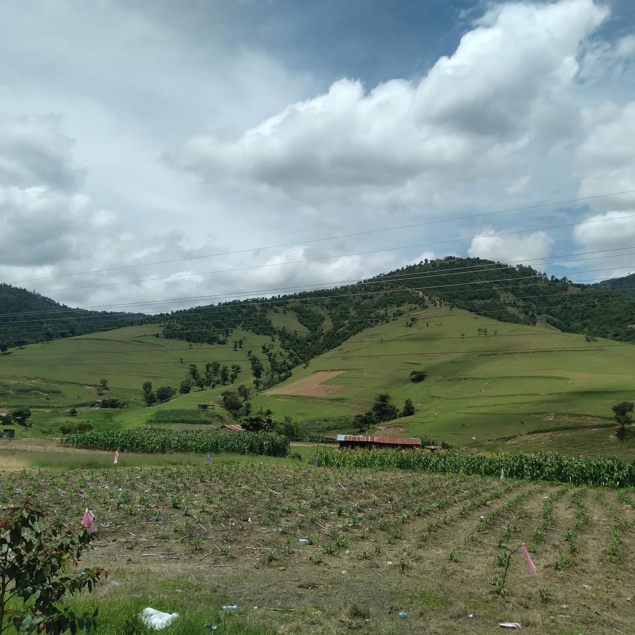
Mountain bike trails in San Carlos Sija traverse a mountainous region in Guatemala, characterized by high altitudes and rolling hills. The terrain features significant ascents and descents, with large forested areas and agricultural landscapes. This environment provides a rugged setting for adventurous cycling experiences.
Best mountain bike trails in San Carlos Sija
- The most popular mountain bike trail is El Baúl Monument loop from Olintepeque, a 13.9 miles (22.4 km) trail that takes about 1 hour 50 minutes to…
Last updated: July 5, 2026
5.0
(3)
10
riders
21.6km
01:44
470m
470m
Moderate mountain bike ride. Good fitness required. Suitable for all skill levels.
5.0
(1)
5
riders
32.7km
02:58
910m
910m
Hard mountain bike ride. Very good fitness required. Suitable for all skill levels.

Sign up for free
7
riders
37.7km
02:56
710m
710m
Moderate mountain bike ride. Good fitness required. Suitable for all skill levels.
5.0
(3)
6
riders
16.7km
01:28
410m
410m
Moderate mountain bike ride. Good fitness required. Suitable for all skill levels.
5.0
(1)
4
riders
11.0km
01:04
350m
350m
Moderate mountain bike ride. Good fitness required. Suitable for all skill levels.
Get access to more routes and recommendations from other explorers.
Sign up for free
Already have an account?
Our route recommendations are based on thousands of hikes, rides, and runs completed by other people on komoot.
Start today with a free account
Your next adventure awaits.
Login or Signup
Popular around San Carlos Sija

Tips from the Community

stone technician to start and follow the path to avoid getting lost !!
0
0
Frequently Asked Questions
What is the general terrain like for mountain biking in San Carlos Sija?
San Carlos Sija offers a rugged and adventurous mountain biking experience. The region is characterized by mountainous terrain, high altitudes (around 9,000 feet), and rolling hills, providing significant ascents and descents. You'll encounter large forested areas, agricultural landscapes, and many routes with 'undefined' surfaces, which often means natural, unpaved paths suitable for mountain bikes.
Are there mountain bike trails suitable for beginners in San Carlos Sija?
While San Carlos Sija's terrain is generally rugged, there are moderate options available. For instance, the El Baúl Monument loop from Olintepeque is a moderate 13.9-mile trail that offers varied terrain without extreme difficulty. Most routes in the area are rated moderate to difficult, so beginners should be prepared for some challenging sections.
What are some challenging mountain bike routes for experienced riders?
Experienced riders looking for a challenge will find several difficult routes. The Mountainbike loop from Quetzaltenango is a difficult 20.3-mile path with significant elevation gain, offering a strenuous ride and expansive views. These routes are ideal for those seeking demanding climbs and technical descents.
Are there any loop trails for mountain biking in San Carlos Sija?
Yes, many of the mountain bike routes in San Carlos Sija are designed as loops. Examples include the moderate El Baúl Monument loop from Olintepeque, the difficult Mountainbike loop from Quetzaltenango, and the moderate Eucaliptos loop from Quetzaltenango, which takes you through forests and open landscapes.
What natural features or viewpoints can I expect to see along the trails?
The region is known for its stunning natural beauty. You can expect panoramic views due to the high altitude and mountainous terrain. Trails often pass through large forested areas and agricultural landscapes. While specific viewpoints are not always marked, the general topography ensures scenic vistas throughout your ride.
What is the best season to go mountain biking in San Carlos Sija?
Given its high altitude, San Carlos Sija experiences a unique climate. Generally, the dry season (typically November to April) offers more stable weather conditions with less rain, making trails more predictable and enjoyable. However, the mountainous terrain means weather can change rapidly, so always be prepared for varying conditions.
Are the mountain bike trails in San Carlos Sija family-friendly?
The mountain bike trails in San Carlos Sija are generally rated moderate to difficult, featuring significant elevation changes and often unpaved surfaces. While some moderate routes might be manageable for older, experienced children, the terrain is quite challenging. Families with younger children or those seeking very easy, flat rides might find these trails too demanding.
Can I bring my dog on the mountain bike trails?
While there are no explicit restrictions mentioned, the trails in San Carlos Sija traverse natural, often rugged, and sometimes remote areas. If bringing your dog, ensure they are well-behaved, accustomed to long rides, and capable of handling varied terrain and high altitudes. Always carry enough water for both yourself and your pet, and be mindful of local wildlife and agricultural areas.
Are there places to eat or stay near the mountain bike trails?
San Carlos Sija is primarily an agricultural community. While specific cafes or dedicated accommodations directly on the trails are not common, you can find amenities in the town of San Carlos Sija itself or in the larger nearby city of Quetzaltenango (Xela), which is about 23 kilometers away. Quetzaltenango offers a wider range of dining and lodging options.
How long are the mountain bike trails in San Carlos Sija?
The mountain bike trails in San Carlos Sija vary in length. For example, the El Baúl Monument loop from Olintepeque is 13.9 miles (22.4 km), while the Eucaliptos loop from Quetzaltenango is 23.1 miles (37.3 km). Routes range from approximately 11 miles to over 23 miles, offering options for different ride durations.
What do other mountain bikers say about the trails in San Carlos Sija?
The mountain bike routes in San Carlos Sija are highly rated by the komoot community, with an average score of 4.9 stars from over 30 reviews. Riders often praise the challenging terrain, the expansive views, and the adventurous nature of exploring the region's mountainous forests and agricultural paths.
Where can I find parking or trailheads for mountain biking in San Carlos Sija?
Specific designated parking areas or official trailheads are not extensively advertised for San Carlos Sija. Many routes, such as the Mountainbike loop from Quetzaltenango, often start from nearby towns or cities like Quetzaltenango or Olintepeque. It's advisable to check the starting points of individual routes on komoot for the most convenient access and parking options.
Most popular routes in San Carlos Sija

Get inspired with the komoot mobile app


Explore more
Browse the best MTB trails in other regions.
