The best walks and hikes in Mora
4.8
(8)
48
hikers
4
hikes
Hiking trails in Mora, San José, are characterized by mountainous terrain and significant elevation changes, offering routes through the Central Valley region of Costa Rica. The landscape features prominent peaks like Cerro Piedra Blancas and Pico Blanco, providing panoramic views. The area's topography includes varied ascents and descents, typical of the region's volcanic and hilly formations.
Best hiking trails in Mora
- The most popular hiking route is Cerro Piedra Blancas Summit – Pico Blanco Rock loop from Alajuelita, a…
Last updated: July 1, 2026
4.7
(3)
31
hikers
15.9km
06:31
1,240m
1,240m
Hard hike. Very good fitness required. Easily-accessible paths. Suitable for all skill levels.
4.5
(2)
9
hikers
11.2km
03:27
380m
380m
Moderate hike. Good fitness required. Easily-accessible paths. Suitable for all skill levels.

Sign up for free
5.0
(2)
6
hikers
9.93km
03:50
710m
710m
Moderate hike. Good fitness required. Easily-accessible paths. Suitable for all skill levels.
5.0
(1)
2
hikers
14.2km
05:35
1,030m
1,030m
Hard hike. Very good fitness required. Easily-accessible paths. Suitable for all skill levels.
Our route recommendations are based on thousands of hikes, rides, and runs completed by other people on komoot.
Start today with a free account
Your next adventure awaits.
Login or Signup



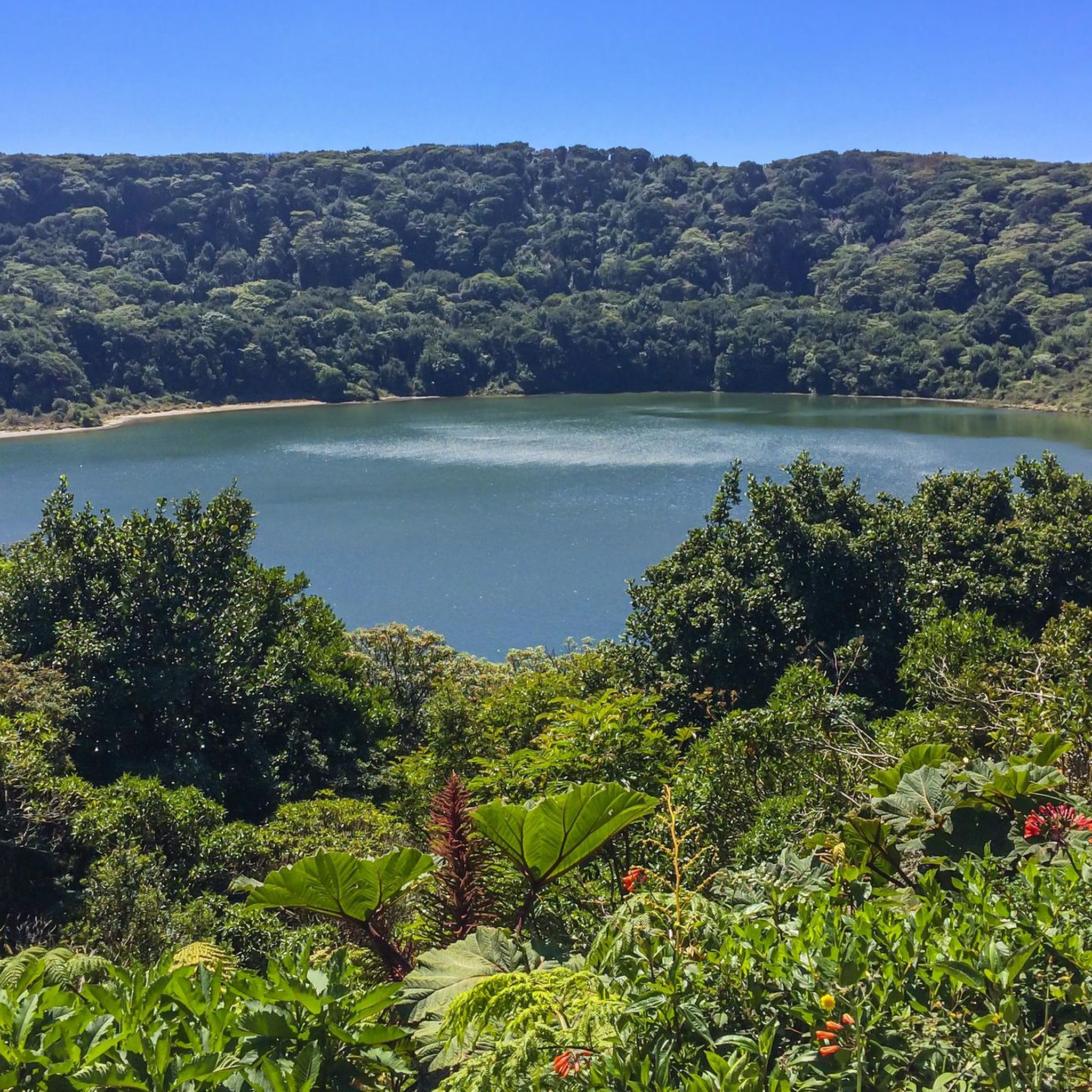
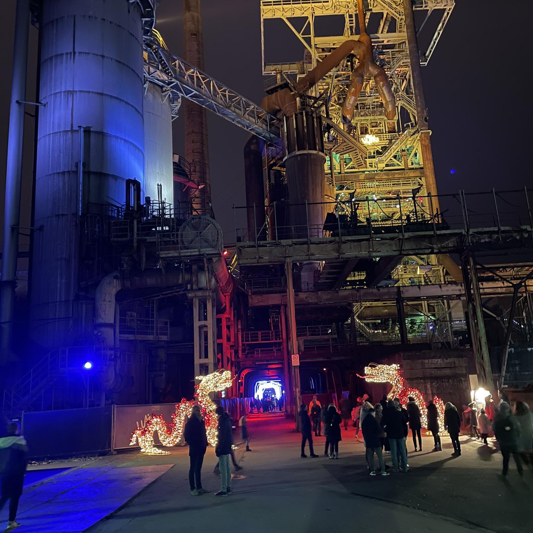
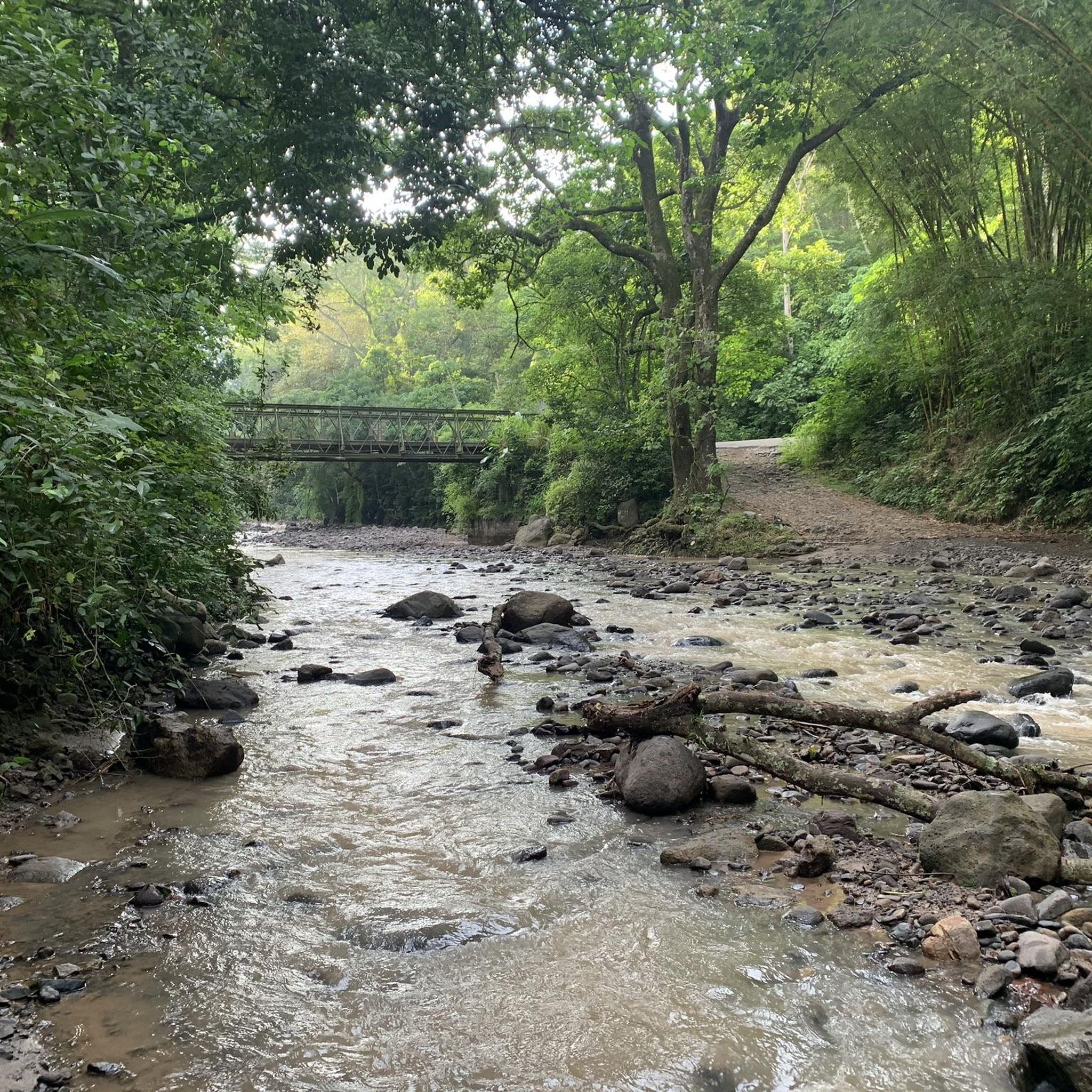
Tips from the Community

Another highlight of the Mantra Trail. The “I” is missing so please put it in the right place.😜
0
0


Ascent with intermediate / high difficulty.
0
0
Frequently Asked Questions
What kind of terrain can I expect when hiking in Mora?
Hiking trails in Mora, San José, are characterized by mountainous terrain and significant elevation changes. You'll find routes through the Central Valley region of Costa Rica, featuring prominent peaks like Cerro Piedra Blancas and Pico Blanco. The topography includes varied ascents and descents, typical of the region's volcanic and hilly formations.
Are there any circular hiking routes in Mora?
Yes, Mora offers several excellent circular routes. Popular options include the Cerro Piedra Blancas Summit – Pico Blanco Rock loop from Alajuelita, which is a challenging 9.9 miles (15.9 km) hike. Another favorite is the Costa Rica Sign – The Hand of Mantra loop from Santa Ana, a moderate 7.0 miles (11.2 km) path. There's also the Hiking loop from Colón, covering 6.2 miles (9.9 km) through hilly landscapes.
What are some notable landmarks or viewpoints along the trails?
Mora's trails offer stunning views of the Central Valley. You can find excellent viewpoints, such as the View of Colón from Senderos Colón. The region also features natural attractions like the Virilla River Canyon and the Picagres River.
What is the difficulty level of hiking trails in Mora?
Mora offers a range of trails suitable for different abilities. You'll find both moderate and difficult routes. For instance, the Costa Rica Sign – The Hand of Mantra loop from Santa Ana and the Hiking loop from Colón are considered moderate. More challenging options include the Cerro Piedra Blancas Summit – Pico Blanco Rock loop from Alajuelita and the View of the Central Valley – Cerro Piedra Blancas Summit loop from San Antonio, both featuring substantial elevation gain.
How long do hikes in Mora typically take?
Hiking durations vary depending on the route and your pace. For example, the difficult Cerro Piedra Blancas Summit – Pico Blanco Rock loop from Alajuelita typically takes around 6 hours and 31 minutes. A moderate hike like the Hiking loop from Colón can be completed in about 3 hours and 50 minutes.
Are there any easy or beginner-friendly hiking routes in Mora?
While Mora's trails are generally characterized by mountainous terrain and elevation changes, offering moderate to difficult options, there are no routes explicitly classified as 'easy' in the current selection. Hikers new to the area or seeking less strenuous options might consider shorter sections of the moderate trails or consult local guides for suitable paths.
What do other hikers say about the trails in Mora?
The hiking routes in Mora are highly rated by the komoot community, with an average score of 4.8 stars from over 5 reviews. Hikers often praise the challenging ascents, scenic loops, and the rewarding views of the Central Valley.
Is there parking available at the trailheads?
Yes, some trailheads offer parking facilities. For instance, the Senderos Colón Entrance and Car Park is a known parking spot for accessing trails in that area.
What is the elevation gain like on Mora's hiking trails?
Mora's trails are known for significant elevation changes. For example, the Cerro Piedra Blancas Summit – Pico Blanco Rock loop from Alajuelita involves an elevation gain of over 1244 meters. Even moderate routes like the Hiking loop from Colón can have an ascent of over 706 meters.
Are there any trails that lead to prominent summits?
Absolutely. The region is known for its prominent peaks. The Cerro Piedra Blancas Summit – Pico Blanco Rock loop from Alajuelita is a prime example, leading to significant summits and offering panoramic views.
Can I find trails with views of the Central Valley?
Many of Mora's hiking routes offer spectacular views of the Central Valley. The View of the Central Valley – Cerro Piedra Blancas Summit loop from San Antonio is specifically highlighted for its scenic vistas of the valley.
Most popular attractions in Mora

Get inspired with the komoot mobile app


Didn’t find what you were looking for?
Check out more Hikes throughout Mora below and find the perfect route in your destination.
Explore more
Browse the best Hikes in other regions.
