The best road cycling routes in Zarcero
4.8
(6)
237
riders
12
rides
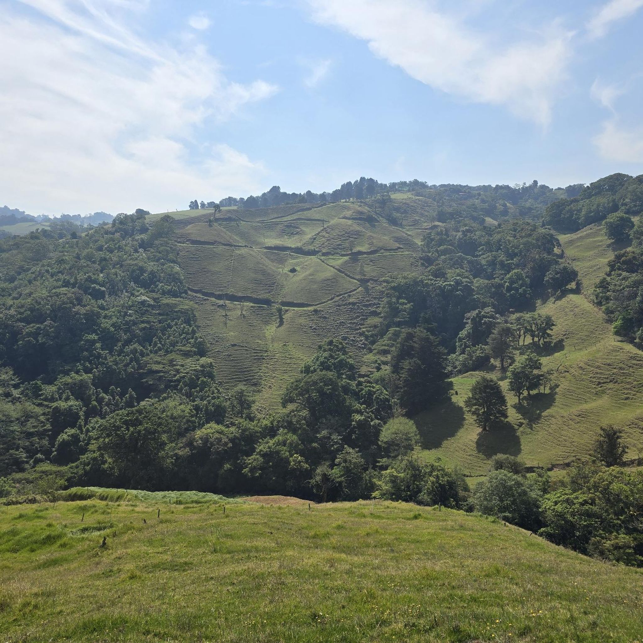
Road cycling in Zarcero features routes characterized by significant elevation changes, indicative of its mountainous terrain. The region, situated at an elevation of 1,736 meters (5,695 feet) in the Cordillera Central, offers a network of roads that traverse rolling hills and provide sustained climbs. These routes often lead through agricultural landscapes, including coffee plantations, and forested areas. Zarcero's high altitude provides a cool mountain climate, making it suitable for strenuous activities like road cycling.
Best road cycling routes in Zarcero
…Last updated: July 2, 2026
5.0
(1)
10
riders
67.6km
03:29
1,200m
1,200m
Hard road ride. Very good fitness required. Mostly well-paved surfaces and easy to ride.
8
riders
42.1km
02:46
1,020m
1,020m
Hard road ride. Very good fitness required. Mostly well-paved surfaces and easy to ride.

Sign up for free
5.0
(1)
4
riders
45.9km
02:28
890m
890m
Moderate road ride. Good fitness required. Mostly well-paved surfaces and easy to ride.
4
riders
22.8km
01:10
310m
310m
Moderate road ride. Good fitness required. Mostly well-paved surfaces and easy to ride.
5
riders
15.2km
00:53
330m
330m
Moderate road ride. Good fitness required. Mostly well-paved surfaces and easy to ride.
5
riders
18.5km
01:07
480m
480m
Moderate road ride. Good fitness required. Mostly well-paved surfaces and easy to ride.
Get access to more routes and recommendations from other explorers.
Sign up for free
Already have an account?
Our route recommendations are based on thousands of hikes, rides, and runs completed by other people on komoot.
Start today with a free account
Your next adventure awaits.
Login or Signup




Tips from the Community

Frequently Asked Questions
How many road cycling routes are available in Zarcero?
Zarcero offers a selection of 14 road cycling routes, ranging from moderate to difficult, designed to challenge and reward cyclists with its varied terrain.
Are there any easy road cycling routes for beginners in Zarcero?
While Zarcero's terrain is characterized by rolling hills and sustained climbs, making most routes moderate to difficult, beginners might find the shorter moderate options more approachable. For example, the Florencia Roundabout loop from Soda La Negrita is a moderate 14.2-mile (22.8 km) route with less elevation gain compared to others.
What is the typical length and duration of road cycling routes in Zarcero?
The routes in Zarcero vary significantly in length and duration. You can find moderate routes like the Planta de Tratamiento – Condominio Castillo Real loop from San Roque, which is 22.0 miles (35.5 km) and takes about 2 hours, up to challenging routes such as the Florencia Roundabout loop from Quesada, spanning 74.6 miles (120.1 km) and requiring around 7 hours to complete.
Where can I find challenging road bike climbs in Zarcero?
For challenging climbs, Zarcero delivers with routes featuring substantial elevation gain. The Cool Place loop from Quesada is a difficult 42.3-mile (68.1 km) path with over 1200 meters of ascent, offering a significant test for experienced riders. Another demanding option is the 74.6-mile Florencia Roundabout loop from Quesada, which includes nearly 2900 meters of climbing.
What is the best time of year for road biking in Zarcero?
Zarcero, located in Costa Rica's Central Valley, generally experiences a tropical climate. The dry season, typically from December to April, offers more consistent sunny weather and less chance of rain, making it ideal for road cycling. The green season (May to November) can bring afternoon showers, but mornings are often clear and lush.
Are there many loop road cycling routes in Zarcero?
Yes, the majority of road cycling routes in Zarcero are designed as loops. This allows cyclists to start and finish at the same point, offering convenience and a continuous riding experience through the region's diverse landscapes. Examples include the El Laguito loop from Volio and the Roadbike loop from Quesada.
Which road cycling routes in Zarcero offer the best scenic viewpoints?
Many routes in Zarcero traverse agricultural landscapes and forested areas, providing scenic views. Routes with significant elevation gain, such as the Cool Place loop from Quesada, often lead to higher elevations where panoramic vistas of the surrounding mountains and valleys can be enjoyed.
What do other road cyclists enjoy the most about road cycling in Zarcero?
The area is highly rated by the komoot community, with an average score of 4.5 stars from over 3 reviews. Reviewers often praise the challenging climbs, the varied gradients, and the scenic beauty of the agricultural and forested landscapes encountered along the routes.
Are there any family-friendly road cycling routes in Zarcero?
Given Zarcero's characteristic rolling hills and sustained climbs, most road cycling routes are rated moderate to difficult. While there aren't specific 'easy' routes, families with older, experienced cycling members might consider shorter moderate options like the Estanque loop from Concepción, which is 9.5 miles (15.2 km) with moderate elevation.
How does road cycling in Zarcero compare to nearby regions like Naranjo?
Road cycling in Zarcero is defined by its mountainous terrain, offering significant elevation changes and sustained climbs through agricultural and forested areas. While Naranjo also features hilly landscapes, Zarcero's routes are particularly noted for their consistent gradients and longer distances, appealing to cyclists seeking a more rigorous and varied challenge.
What are the typical weather conditions for road cycling in Zarcero?
Zarcero's weather is generally mild due to its elevation. Temperatures are pleasant year-round, typically ranging from 60-75°F (15-24°C). The dry season (December-April) offers sunny days, while the green season (May-November) brings more humidity and afternoon rain, which can make roads slick. Always check the local forecast before heading out.
Are there cafes or places to refuel along Zarcero's road cycling routes?
Many routes in Zarcero pass through or near small towns and villages, offering opportunities to stop at local 'sodas' (small restaurants) or cafes for refreshments and a meal. It's advisable to carry sufficient water and snacks, especially on longer routes, as services may be spread out.
Most popular routes in Zarcero

Get inspired with the komoot mobile app


Didn’t find what you were looking for?
Check out more Road cycling routes throughout Zarcero below and find the perfect route in your destination.
Explore more
Browse the best Road cycling routes in other regions.
