The best walks and hikes in Alajuela
4.7
(66)
622
hikers
12
hikes
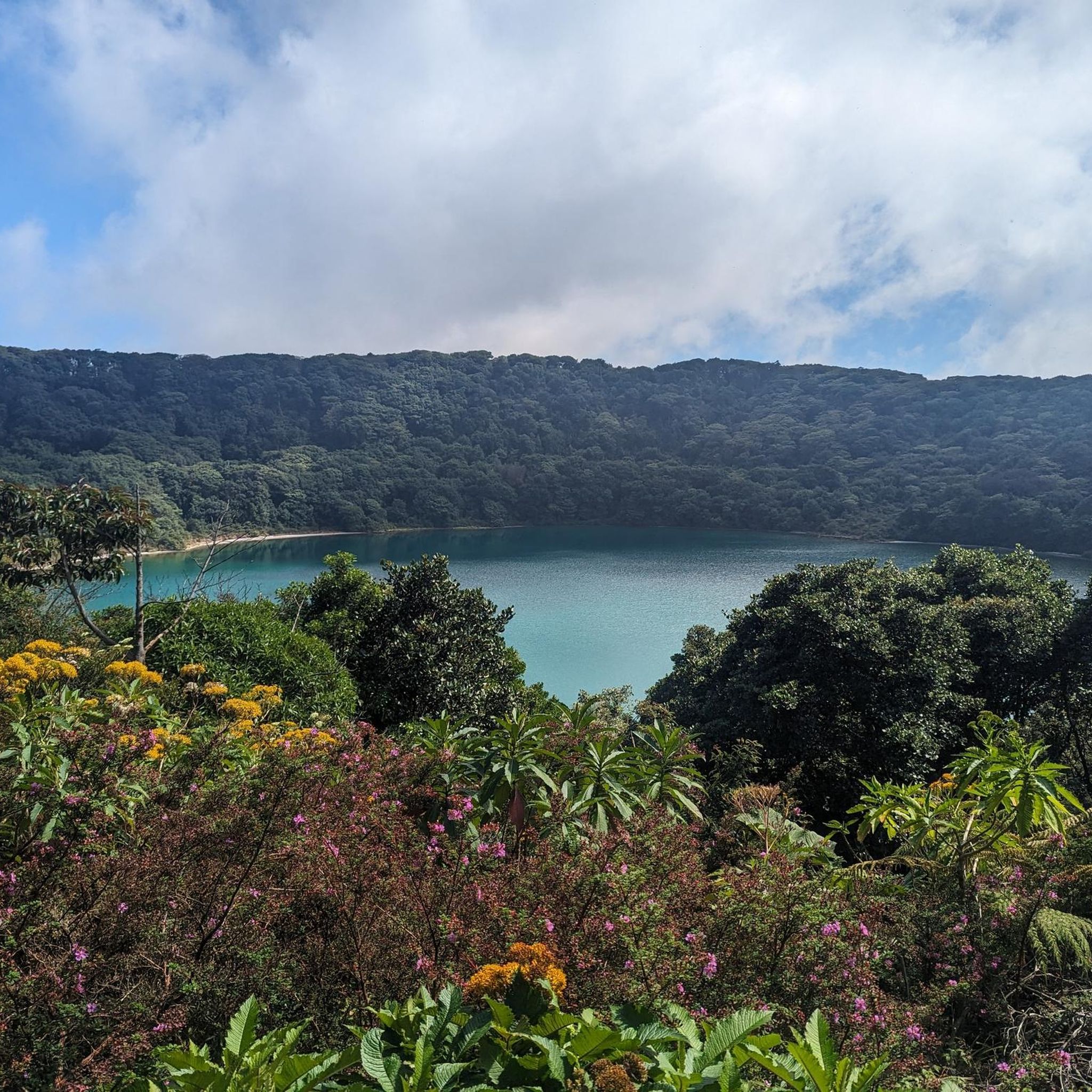
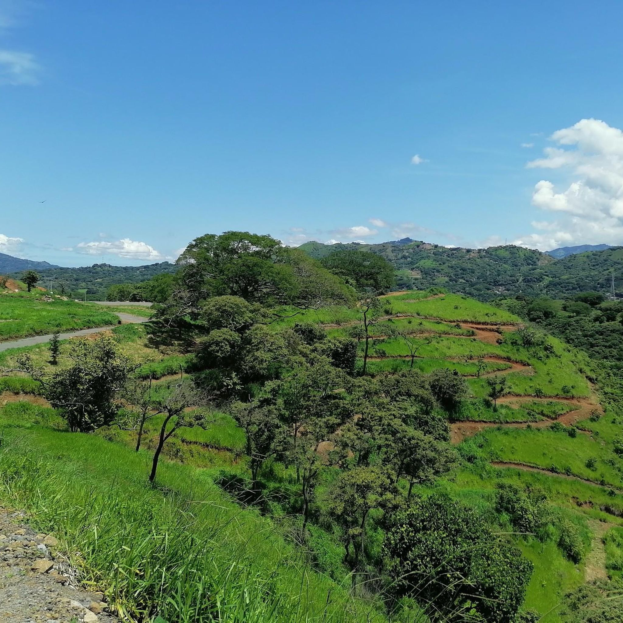
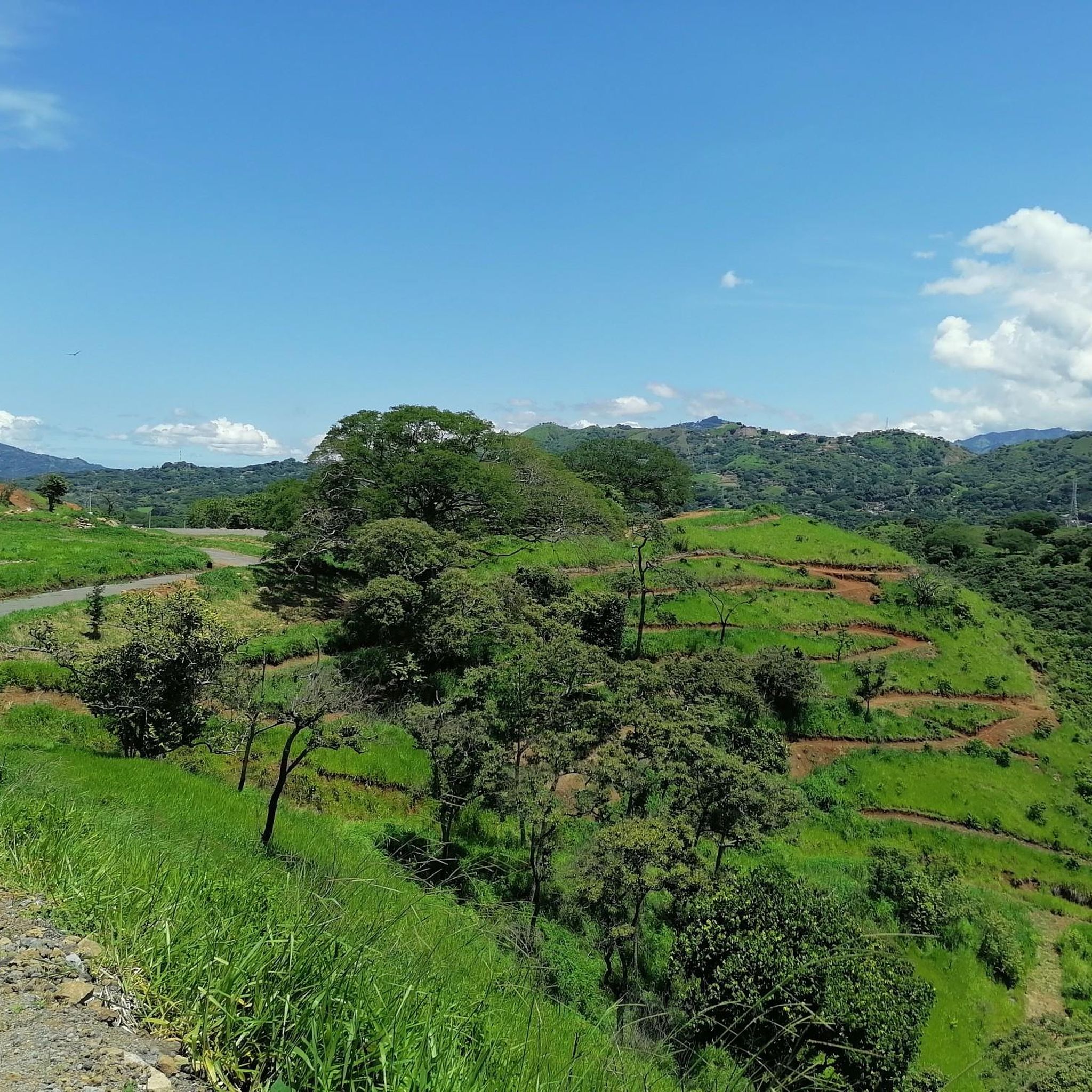
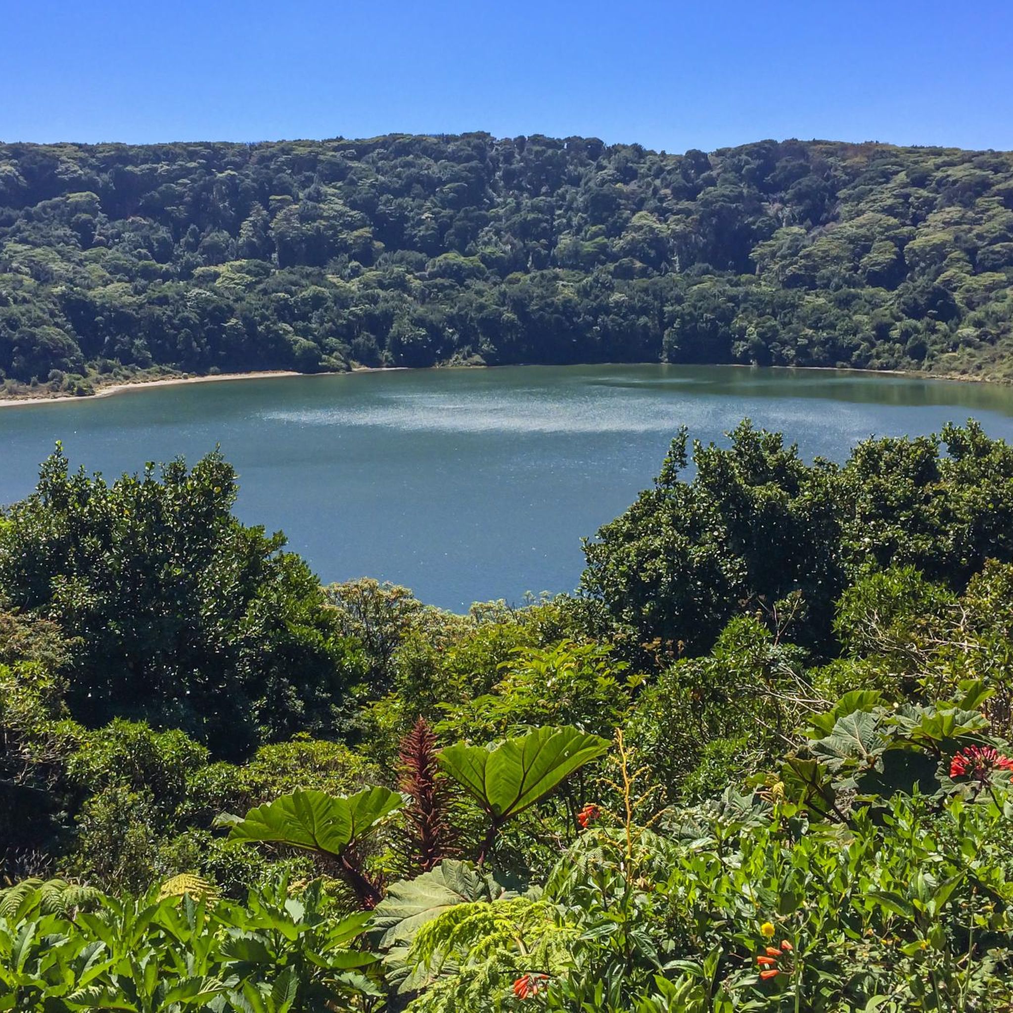
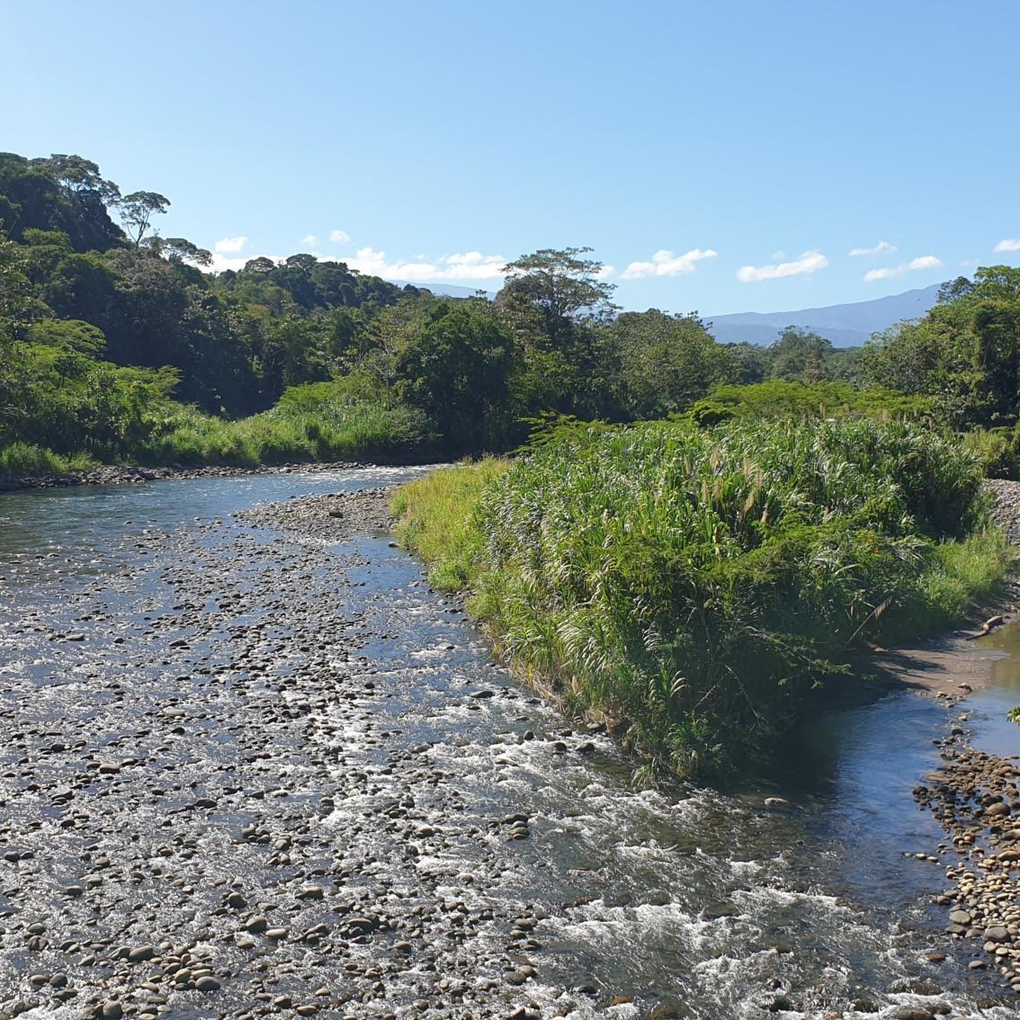
Hiking in Alajuela traverses a landscape shaped by volcanic activity, cloud forests, and numerous waterfalls. The region features active and dormant volcanoes, contributing to fertile soils and diverse ecosystems. Hikers can explore verdant rainforests, high-humidity cloud forests, and areas with rivers and geological formations that create waterfalls. This topography offers varied terrain for outdoor activities.
Best hiking trails in Alajuela
- The most popular hiking route is Poás Volcano loop from Poás, a 1.2 miles (1.9 km) trail that takes…
Last updated: July 1, 2026
5.0
(3)
169
hikers
1.86km
00:31
40m
30m
Easy hike. Great for any fitness level. Easily-accessible paths. Suitable for all skill levels.
4.3
(7)
45
hikers
Moderate hike. Good fitness required. Easily-accessible paths. Suitable for all skill levels.

Sign up for free
4.0
(1)
6
hikers
2.20km
00:41
80m
80m
Easy hike. Great for any fitness level. Easily-accessible paths. Suitable for all skill levels.
4.5
(2)
9
hikers
11.2km
03:27
380m
380m
Moderate hike. Good fitness required. Easily-accessible paths. Suitable for all skill levels.
5.0
(1)
16
hikers
2.35km
00:38
30m
30m
Easy hike. Great for any fitness level. Easily-accessible paths. Suitable for all skill levels.
10
hikers
1.79km
00:33
60m
60m
Easy hike. Great for any fitness level. Easily-accessible paths. Suitable for all skill levels.
5.0
(2)
6
hikers
9.93km
03:50
710m
710m
Moderate hike. Good fitness required. Easily-accessible paths. Suitable for all skill levels.
3
hikers
8.72km
02:20
100m
90m
Moderate hike. Good fitness required. Easily-accessible paths. Suitable for all skill levels.
Get access to more routes and recommendations from other explorers.
Sign up for free
Already have an account?
Our route recommendations are based on thousands of hikes, rides, and runs completed by other people on komoot.
Start today with a free account
Your next adventure awaits.
Login or Signup



Tips from the Community

Small waterfall right by the road. You can go behind the waterfall.
0
0
Spectacular waterfall, the path is challenging.
0
0

Animals that have had accidents or were rescued by people who kept them as pets live here.
0
0

The waterfall is fed by the Río La Paz. There is parking for visitors right next to it.
0
0
A lovely little area with benches and tables for a picnic, partly hidden in the forest. If you're lucky, you can spot hummingbirds or coatis here.
1
0
This work was made by the Costa Rican artist Leda Astorga in 1999. She is internationally renowned for her artistic ability, creativity and the expression of her work. The work responds to the recovery plan of public spaces, of history and identity of Alajuela. It is being carried by the municipality, to make clear the spirit of friendship, joy and peaceful coexistence.
1
0
A beautiful place, but said to be one of the more dangerous places in the city after sunset.
1
0
Frequently Asked Questions
How many hiking trails are available in Alajuela?
Alajuela offers over a dozen hiking trails, catering to various preferences. The komoot community has explored these routes over 500 times, indicating a vibrant hiking scene.
What kind of landscapes can I expect to see while hiking in Alajuela?
Hiking in Alajuela provides a diverse experience, from dramatic volcanic terrains and lush cloud forests to areas rich with rivers and geological formations that create stunning waterfalls. You'll encounter unique ecosystems shaped by active and dormant volcanoes.
Are there any easy hiking trails suitable for beginners or families?
Yes, Alajuela has several easy trails perfect for beginners or families. For instance, the Poás Volcano loop from Varablanca is an easy 1.9 km path, offering access to unique volcanic landscapes. Another option is the Butterfly House – La Paz Waterfall loop from Trout Lake, an easy 2.1 km route.
Where can I find waterfalls along hiking trails in Alajuela?
Alajuela is rich in waterfalls. The Butterfly House – La Paz Waterfall loop from Trout Lake and the Butterfly House – La Paz Waterfall loop from Varablanca both offer access to the magnificent La Paz Waterfall. Other notable waterfalls in the region include La Fortuna Waterfalls, Catarata del Toro, and Los Chorros Waterfalls.
Are there any circular hiking routes in Alajuela?
Many trails in Alajuela are circular, offering convenient exploration. Examples include the Viewpoint loop from Los Pinos, the Laguna de Hule – View of Laguna de Hule loop from Refugio de Vida Silvestre Bosque Alegre, and the Costa Rica Sign – The Hand of Mantra loop from Santa Ana.
What are some interesting landmarks or attractions to see near the hiking trails?
Beyond the trails, Alajuela offers several points of interest. You can visit the impressive La Paz Waterfall, explore the dramatic Virilla River Canyon, or see the Fallen Bridge of Carrizal. The Juan Santamaría Statue is also a notable landmark in the region.
What is the best time of year to go hiking in Alajuela?
The dry season, from December to March, is generally considered the best time for hiking in Alajuela. During this period, average temperatures are around 73°F (23°C), offering clearer views and more comfortable hiking conditions.
What do other hikers enjoy most about hiking in Alajuela?
The area is highly rated by the komoot community, with an average score of 4.7 stars from over 50 reviews. Reviewers often praise the diverse terrain, from volcanic landscapes to cloud forests, and the abundance of natural features like waterfalls and viewpoints.
Are there any moderate trails for more experienced hikers?
Yes, Alajuela also offers moderate trails for those seeking a bit more challenge. The Costa Rica Sign – The Hand of Mantra loop from Santa Ana is a moderate 11.1 km route. Another moderate option is the Hiking loop from Colón, which covers nearly 10 km with significant elevation changes.
Can I find trails that offer scenic viewpoints?
Absolutely. Many trails in Alajuela provide excellent viewpoints. The Viewpoint loop from Los Pinos is specifically known for its scenic vistas. Additionally, the Viewpoint loop from Refugio de Vida Silvestre La Tirimbina offers beautiful perspectives of the surrounding natural environment.
What should I wear for hiking in Alajuela?
Given the consistent average temperatures around 73°F (23°C) and varied terrain, it's advisable to wear lightweight, breathable clothing. Layers are recommended, especially if hiking in cloud forests where humidity can be high. Sturdy hiking shoes are essential for navigating volcanic paths and potentially wet trails near waterfalls.
Most popular attractions in Alajuela

Get inspired with the komoot mobile app


Didn’t find what you were looking for?
Check out more Hikes throughout Alajuela below and find the perfect route in your destination.
Explore more
Browse the best Hikes in other regions.
