The best MTB trails around Gütenbach
4.6
(1781)
6,155
riders
259
rides
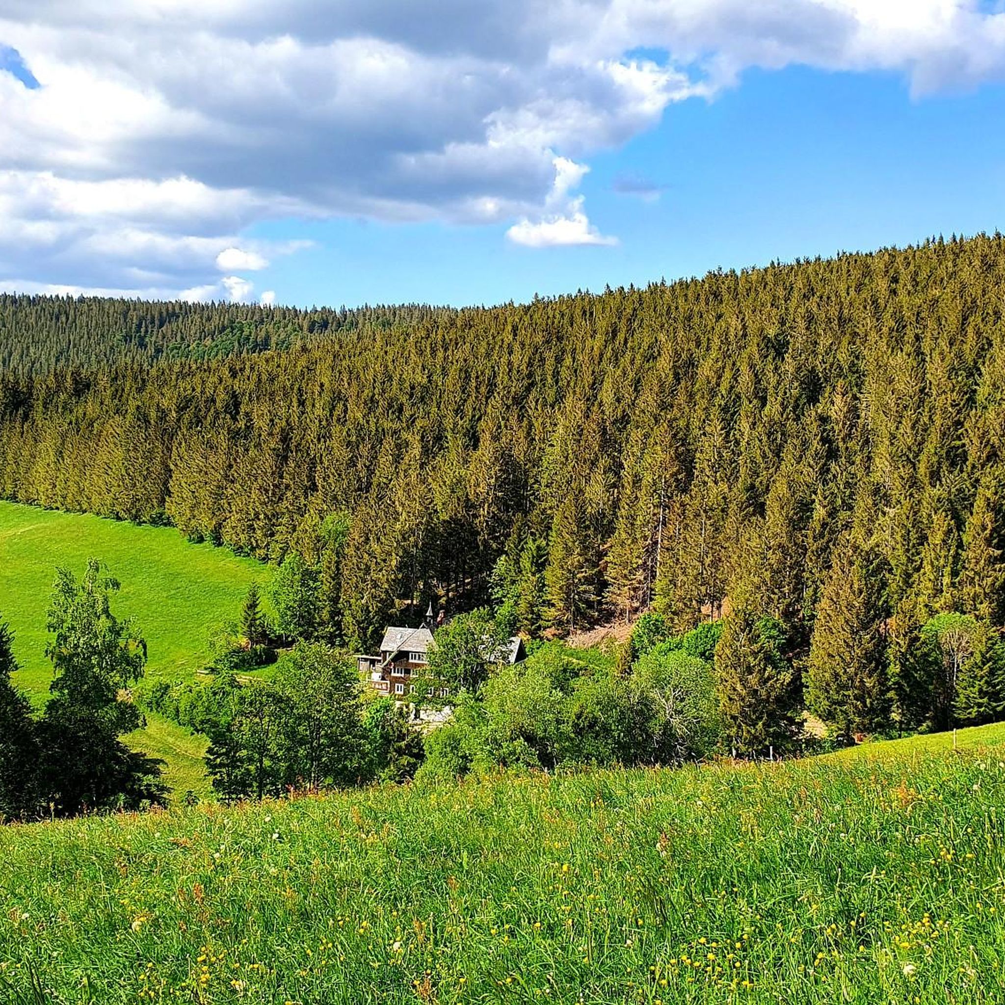
Mountain bike trails around Gütenbach are set within the Black Forest, characterized by dense forests, undulating hills, and scenic valleys. The region features varied terrain, including gorges like Teichschlucht and numerous natural viewpoints. This geographical setting provides diverse conditions for mountain biking, from challenging ascents to more moderate paths.
Best mountain bike trails around Gütenbach
- The most popular mountain bike trail is Brend Tower – View of Rohrbach Valley loop from Neukirch, a 29.7 miles (47.7 km) trail that…
Last updated: October 7, 2026
5.0
(5)
29
riders
76.1km
07:24
2,350m
2,350m
Hard mountain bike ride. Very good fitness required. Advanced riding skills necessary.
5.0
(8)
38
riders
50.7km
04:31
1,230m
1,230m
Hard mountain bike ride. Very good fitness required. Advanced riding skills necessary.

4.0
(1)
7
riders
13.5km
01:03
150m
150m
Easy mountain bike ride. Great for any fitness level. Suitable for all skill levels.
5.0
(1)
10
riders
28.1km
02:31
620m
620m
Hard mountain bike ride. Good fitness required. Advanced riding skills necessary. Some portions of the route may require you to push your bike.
5.0
(3)
8
riders
13.4km
01:07
330m
330m
Moderate mountain bike ride. Good fitness required. Suitable for all skill levels.
Get access to more routes and recommendations from other explorers.
Already have an account?
Our route recommendations are based on thousands of hikes, rides, and runs completed by other people on komoot.
Start today with a free account
Your next adventure awaits.
Popular around Gütenbach
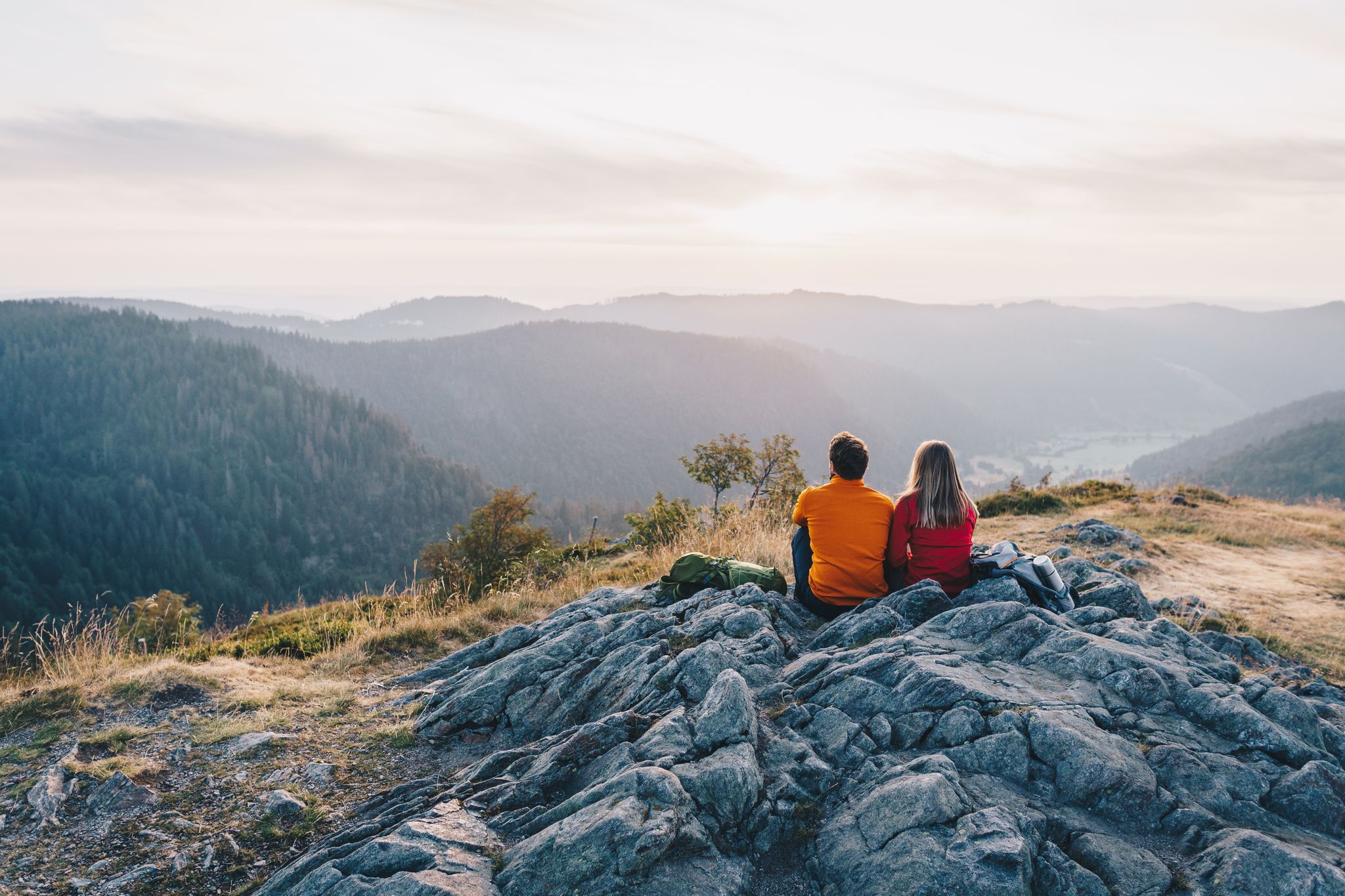
ZweiTälerSteig and other cool hikes in Germany
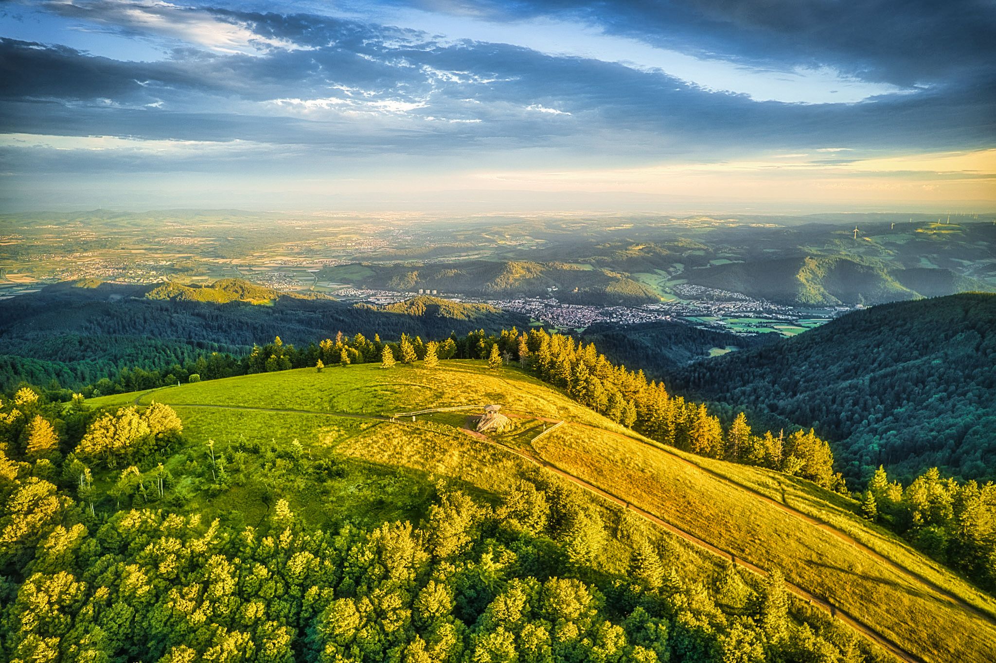
Two valleys, endless views – hiking in the ZweiTälerLand
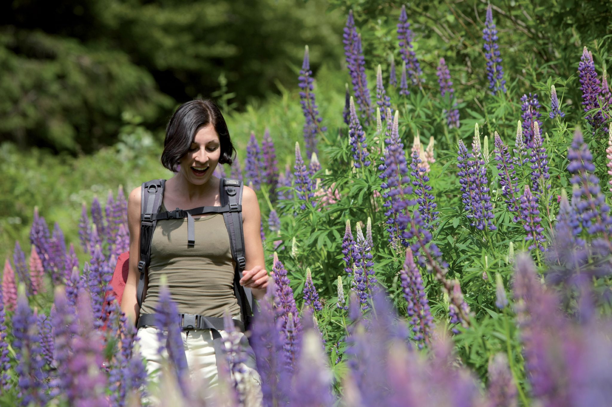
Exploring the Black Forest in Germany – fantastic trails & nature
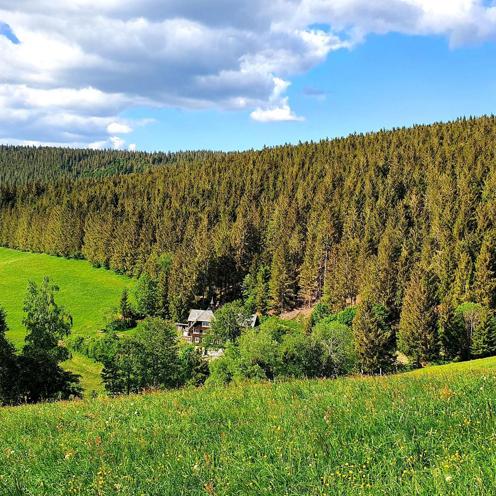
Hiking around Gütenbach
Road Cycling Routes around Gütenbach
Cycling around Gütenbach
Running Trails around Gütenbach
Gravel biking around Gütenbach

Mountain Hikes around Gütenbach
Other adventures around Gütenbach


Tips from the Community

Great valleys with a great plateau
0
0

The European watershed at the Martinskapelle near Furtwangen in the Black Forest separates the catchment area of the North Sea (via the Rhine) from that of the Black Sea (via the Danube) at an altitude of around 1,085 meters. Course of the watershed Rhine catchment area (northwest side): Here the Elz originates, which flows via the Rhine ultimately into the North Sea. Danube catchment area (southeast side): Only about 100 meters from the watershed lies the source of the Breg. The Breg is considered the longest headstream of the Danube, whose water flows into the Black Sea. The separation: A ridge only a few meters wide decides here whether a water droplet begins its journey west to the Rhine or east to the Danube.
0
0

another highlight of the day
0
0

Beautiful mountain road with lots of views, including the view over St. Peter.
0
0


Even without snow (cross-country skiing starts here most days), it's a lovely place to linger.
0
0

Nice and friendly
1
0

The path goes along the top, on the sunny side, simply a dream 😉
0
0
Frequently Asked Questions
How many mountain bike trails are available around Gütenbach?
Gütenbach offers a wide selection of mountain bike trails, with over 240 routes recorded on komoot. These range in difficulty, ensuring options for various skill levels.
What are the general difficulty levels of mountain bike trails in Gütenbach?
The trails around Gütenbach cater to all abilities. You'll find approximately 32 easy routes, 157 moderate routes, and 51 difficult routes, providing diverse challenges from gentle rides to demanding ascents.
When is the best time of year to go mountain biking in Gütenbach?
The Black Forest region around Gütenbach experiences pleasant, mild weather during certain months, which significantly enhances the biking experience. Spring through autumn generally offers the most favorable conditions for exploring the trails.
Are there mountain bike trails suitable for beginners in Gütenbach?
Yes, Gütenbach has approximately 32 easy mountain bike routes, perfect for beginners or those looking for a more relaxed ride. These trails allow you to enjoy the scenic Black Forest without overly challenging terrain.
Can I find circular mountain bike routes in the Gütenbach area?
Absolutely. The local community actively promotes various circular routes, allowing visitors to experience the full beauty of the expansive Black Forest region. Many of the trails on komoot are designed as loops, such as the Brend Tower – View of Rohrbach Valley loop from Neukirch.
What natural attractions or landmarks can I see while mountain biking near Gütenbach?
The region is rich in natural wonders. You might encounter the impressive Blindensee, a mythical lake with a boardwalk through its moorland, or the breathtaking Zweribach Waterfalls. Other notable features include the Teichschlucht gorge and the unique Balzer Herrgott, a crucifix encased in an ancient beech tree.
Are there any notable viewpoints along the mountain bike trails in Gütenbach?
Yes, the area boasts several fantastic viewpoints. The Brend Tower offers expansive views, and the Spitzer Stein provides incredible vistas over the Simonswälder Tal. The Hohwart Viewpoint (1025 m) is also a highlight on some routes.
What do other mountain bikers enjoy most about the trails in Gütenbach?
The mountain bike trails in Gütenbach are highly rated by the komoot community, with an average score of 4.7 stars from over 1,300 reviews. Riders frequently praise the diverse terrain, dense forests, undulating hills, and scenic valleys, as well as the well-maintained paths that offer options for all skill levels.
Are there family-friendly mountain bike trails in Gütenbach?
Yes, with 32 easy routes available, there are plenty of options for families looking to enjoy mountain biking together. These trails typically feature less challenging terrain, making them suitable for riders of varying ages and experience levels.
Are dogs allowed on the mountain bike trails in Gütenbach?
Generally, dogs are welcome on trails in the Black Forest region, provided they are kept under control, especially in nature protection areas or near livestock. It's always advisable to check specific trail regulations or local signage for any restrictions.
Where can I find parking for mountain bike trails in Gütenbach?
While specific parking areas vary by trailhead, Gütenbach and its surrounding villages typically offer designated parking spots for outdoor enthusiasts. Many routes start from accessible locations, and you can often find parking near the starting points of popular trails.
Are there options for food and drink stops along the mountain bike routes?
Yes, the Black Forest region is known for its charming traditional guesthouses and inns. Many routes pass through or near villages where you can find opportunities for refreshments and meals, allowing you to refuel during your ride.
Are there any permits required for mountain biking in the Black Forest around Gütenbach?
For general mountain biking on designated trails in the Black Forest around Gütenbach, specific permits are typically not required. However, always respect local regulations, private property, and nature conservation areas.
Most popular routes around Gütenbach
Most popular attractions around Gütenbach

Get inspired with the komoot mobile app


Explore more
Browse the best MTB trails in other regions.
