The 20 Most Amazing Peaks around Dreis-Brück
Best mountain peaks around Dreis-Brück are characterized by a unique volcanic landscape, featuring maars and undulating hills rather than towering, jagged peaks. The region offers numerous elevated points that provide expansive views and are popular for outdoor activities. These natural features and landmarks contribute to the Vulkaneifel's distinct character.
Best mountain peaks around Dreis-Brück
- The most popular mountain peaks is Freudenkoppe Castle Ruins, a castle ruin located on a 610 meter high basalt cone. The well-preserved keep and impressive…
Last updated: June 24, 2026
Dronke Tower on the Mäuseberg
Highlight • Viewpoint
Translated by Google •
Tip by

View of Gerolstein from the Munterley
Highlight • Viewpoint
Translated by Google •
Tip by

Sign up now to discover places like this
Get recommendations on the best single tracks, peaks, & plenty of other exciting outdoor places.
Sign up for free
Maarkreuz Schalkenmehren
Highlight • Viewpoint
Translated by Google •
Tip by

Millstone Cave at Nerother Kopf
Highlight • Cave
The millstone cave consists of lava boards and is an artificial cave in the Vulkaneifel, Rhineland-Palatinate. It was created by the production of …
Translated by Google •
Tip by

Freudenkoppe Castle Ruins
Highlight • Castle
Translated by Google •
Tip by
Sign up for free to discover even more peaks around Dreis-Brück.
Sign up for free
Already have an account?
Start today with a free account
Your next adventure awaits.
Login or Signup
Popular around Dreis-Brück

Excellent paths in the Vulkaneifel – Explore the HeimatSpuren
Lava pits & fairytale lakes – hiking through Vulkaneifel in Germany
Hiking around Dreis-Brück
Cycling around Dreis-Brück
MTB Trails around Dreis-Brück
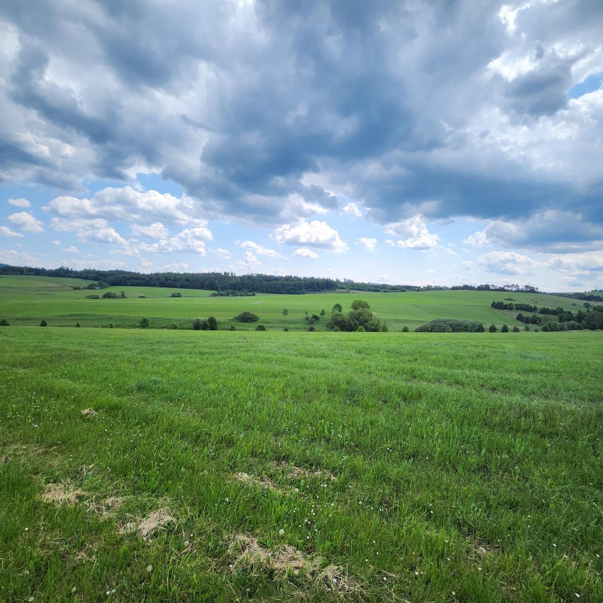
Running Trails around Dreis-Brück
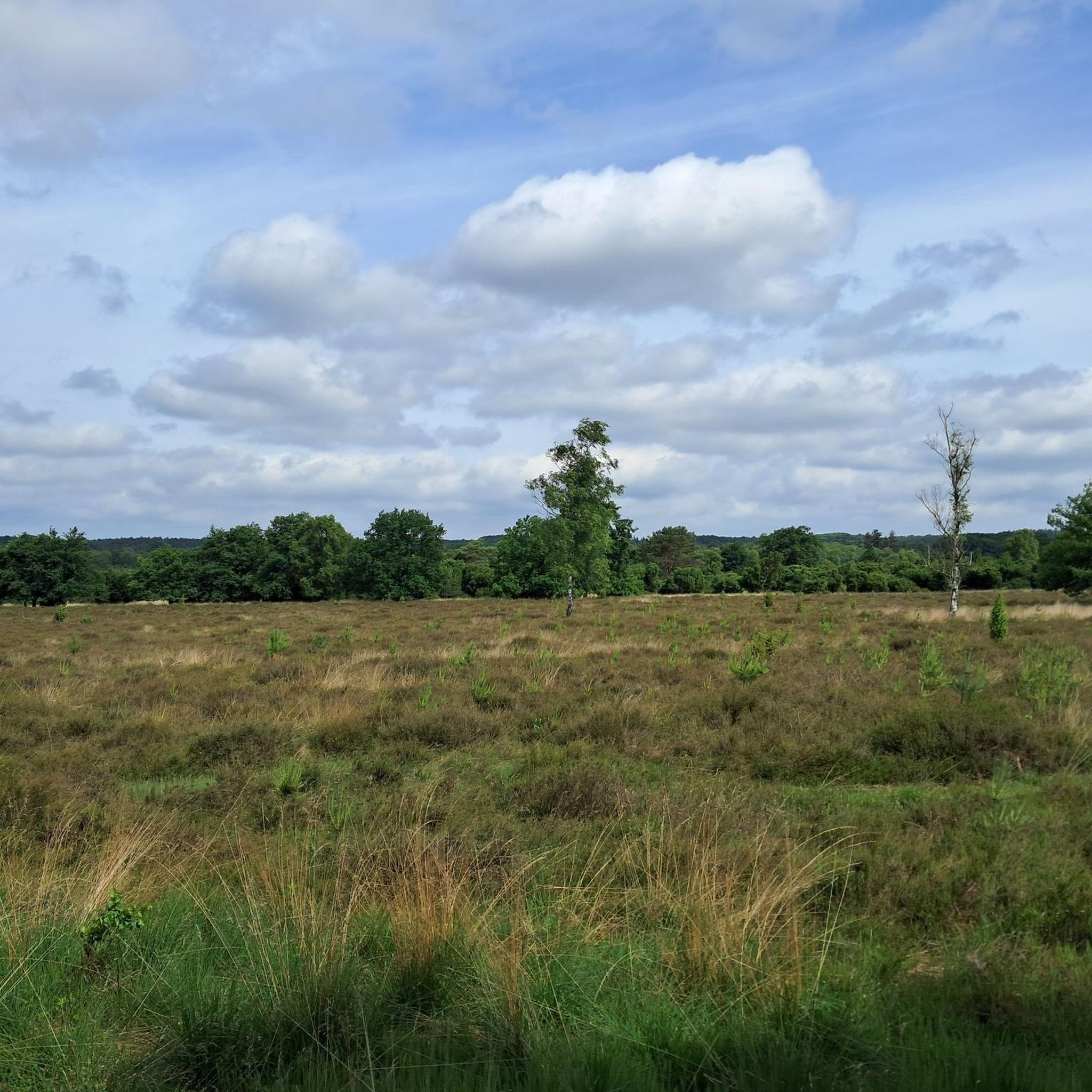
Gravel biking around Dreis-Brück
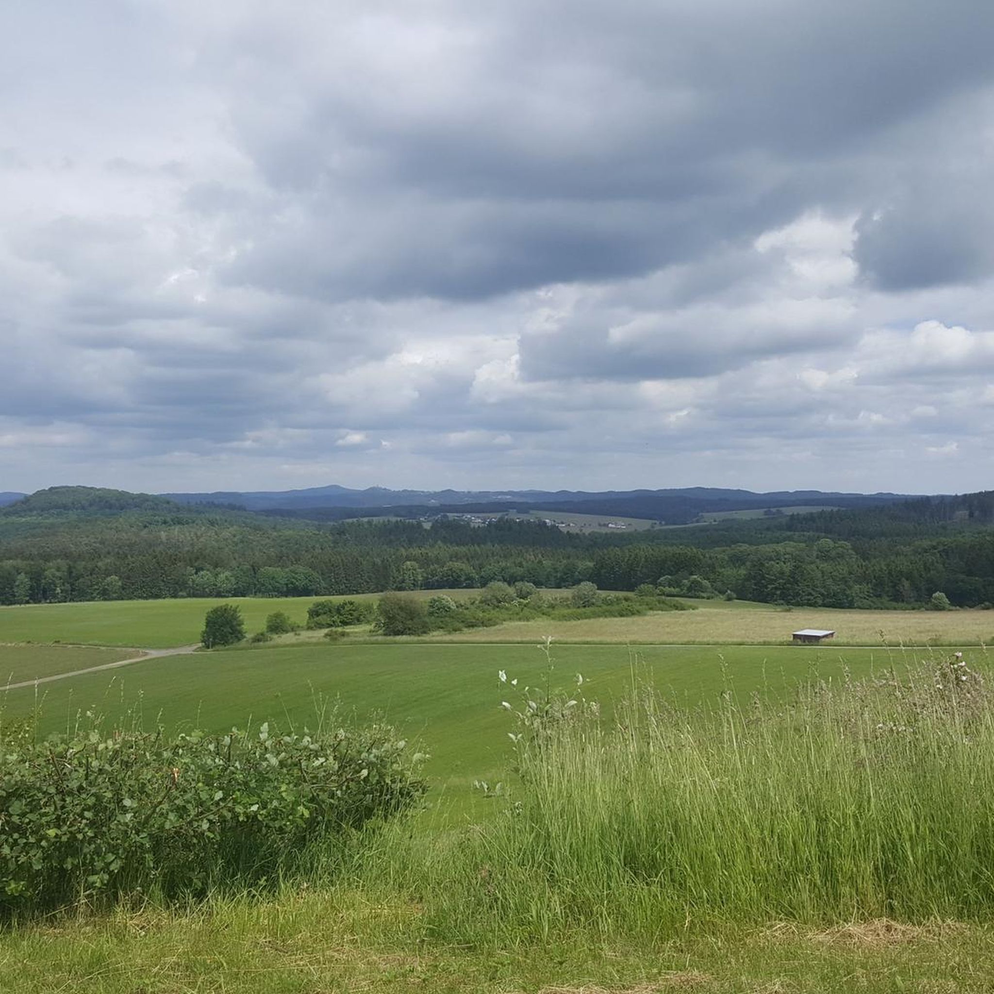
Road Cycling Routes around Dreis-Brück
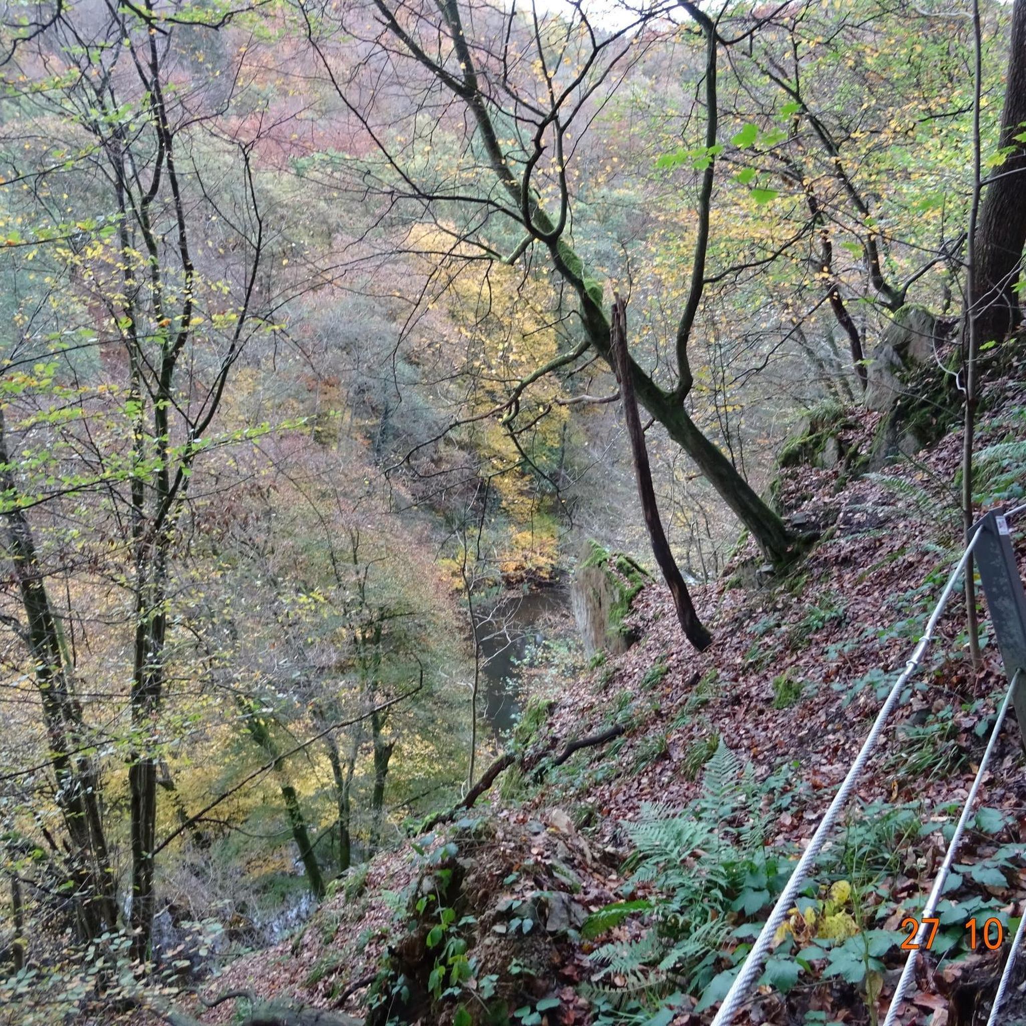
Mountain Hikes around Dreis-Brück

Tips from the Community

The steep climb to the castle is quite difficult. A real calf biter! But once at the top you forget it all. Beautiful ruin and the cave is more than worth it.
5
0

Nice view with markers for orientation. The tower, which was built in 1902, is only 11m high, but stands on top of the 560m high Mauseberg and is thus 166m above the Gemünder Maar, guaranteeing a magnificent view of the surrounding area.
14
0
Beautiful view with an information board for orientation. The tower, built in 1902, is only eleven meters high, but stands at the top of the 560-meter-high Mäuseberg and is thus 166 meters above the Gemünder Maar. This guarantees a magnificent view over the surrounding area.
19
1
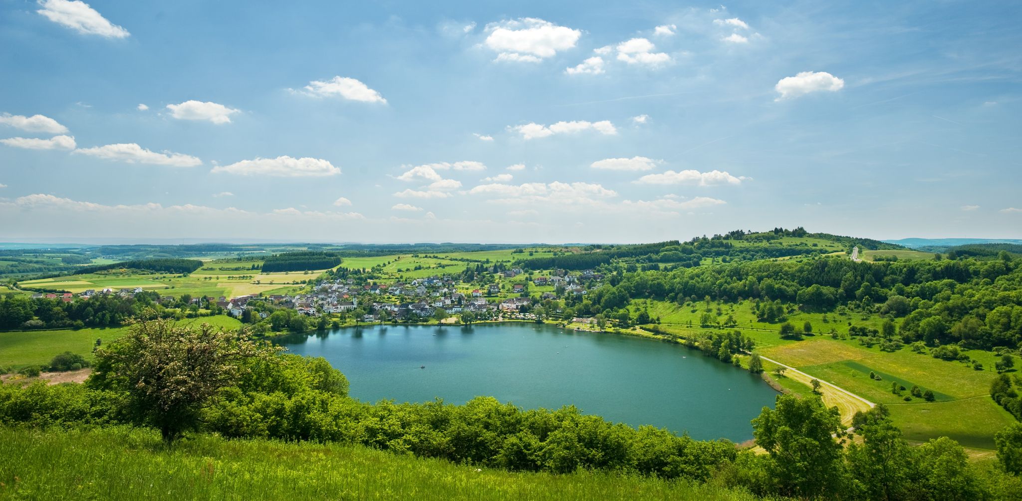
Very nice place and viewing point at the Maarkreuz above the Schalkenmehrener Maar. With its inscription "You are called the Maar Cross, for the salvation of us and this country. Emergency year 1932", the cross commemorates severe thunderstorms and the resulting damage and crop failures.
12
0

"With an area of approx. 102 hectares, the area around the Gerolsteiner Dolomites has been a nature reserve since 1990. + occurring animal species: bat + occurring plant species: juniper, orchids, character plants calcareous grassland, grove rush-beech forest, woodruff-beech forest, orchid-limestone-beech forest Around 380 million years ago there was a warm, subtropical shallow sea here, in which mighty reefs of stromatopores - relatives of sponges - and corals formed. After the dolomitization, sinking and folding of the rocks, the Devonian deposits were lifted out again. Today's Gerolsteiner Dolomites were formed, which rise steeply above the Kylltal north of the center of Gerolstein. The rocks "Hustley", "Munterley", "Drohende Ley", "Große Kanzel" and "Auberg" characterize the cityscape from afar and form the landmark of Gerolstein. The most famous summit of the Gerolsteiner Dolomites is the "Munterley" - with a height of 482 meters - and offers a breathtaking view over Gerolstein, the Kylltal and far into the Vulkaneifel. Stone Age people, who settled here 30,000 years ago, obviously enjoyed this view, as evidenced by stone tools and bones found at the nearby Buchenloch Cave. Visiting the Gerolsteiner Dolomites can be perfectly combined with hiking the Felsenpfad - the northern part of the "Gerolsteiner Dolomiten Acht". The almost eight-kilometer round tour offers many magical places and geological traces." https://www.eifel.info/a-gerolsteiner-dolomites
10
0

Very well preserved ruin. Exploring them with children is a very special experience. Especially nice in late spring when the trees all around are fresh green.
8
0
The Nerother Kopf is an extinct volcano of recent date. It was formed about 15,000 years ago when the earth broke up here and glowing magma welled up from the depths of the earth. At that time, a fracture zone formed in the earth rock, which formed the origin of the volcanic chain "West Eifel". https://www.neroth.de/tourismus/nerother-kopf
6
0
The Millstone Cave is located at the summit of the Neroth Head, a wooded hill of volcanic origin east of Neroth. The entrance is just below the Freudenkoppe castle ruins at an altitude of about 640 m and can be reached via a hiking trail. The cave is 18 meters deep and its vault up to 10 meters high. It is walkable, but unlit (torch required). Wikipedia
5
0
Frequently Asked Questions
What are some popular elevated points or 'mountain peaks' to visit around Dreis-Brück?
The Dreis-Brück area, part of the Vulkaneifel, features unique volcanic elevations rather than traditional jagged mountain peaks. Popular spots include the Freudenkoppe Castle Ruins, located on a 610-meter-high basalt cone, and the Dronke Tower on the Mäuseberg, which offers panoramic views from its 561-meter summit. Another must-see is the Dietzenley Observation Tower, providing impressive views of the Vulkaneifel landscape.
What kind of views can I expect from the elevated points in Dreis-Brück?
From many elevated points, you can expect sweeping panoramic views of the volcanic Eifel landscape. For instance, the Dronke Tower on the Mäuseberg offers direct views over the Gemündener Maar, Weinfelder Maar, and Schalkenmehrener Maar. The Dietzenley Observation Tower provides an impressive vista over Gerolstein and Büscheich, and on clear days, you might even see the Lissinger Kaserne, Birresborn, Salm, and the Kasselburg.
Are there any historical sites among the elevated points around Dreis-Brück?
Yes, several elevated points in the region have significant historical value. The Freudenkoppe Castle Ruins, built around 1340, features a well-preserved keep and impressive gables. The Dronke Tower on the Mäuseberg is a historic lookout tower erected in 1902. Additionally, the Dietzenley Observation Tower stands on a site that was once a Celtic housing settlement approximately 2500 years ago. The Millstone Cave at Nerother Kopf is an artificial cave created by millstone production, with its origins likely predating the castle built around 1340.
What is the Ernstberg, and can I hike there?
The Ernstberg, at nearly 700 meters, is the highest volcano in the Western Eifel and the second-highest mountain in the entire Eifel region. While its summit is densely forested and doesn't offer direct views, its slopes feature exciting rock formations and ancient beech trees. It is a popular destination for both hikers and mountain bikers, with beautiful trails around the summit.
Are there hiking trails suitable for different skill levels near these elevated points?
Yes, the Vulkaneifel region around Dreis-Brück offers a variety of hiking trails. For example, the paths leading up to the Dronke Tower on the Mäuseberg can be steep and challenging, suitable for experienced hikers and mountain bikers. You can find a range of routes, from easy to moderate, including those listed in the Mountain Hikes around Dreis-Brück guide, such as the 'Weinfelder Maar viewpoint – Dronke Tower on the Mäuseberg loop' which is rated easy.
What other outdoor activities can I do near the elevated points in Dreis-Brück?
Beyond hiking, the area is excellent for various outdoor activities. Mountain biking is popular, especially on the challenging paths around the Mäuseberg. You can also find numerous running trails, such as those detailed in the Running Trails around Dreis-Brück guide. For cyclists, there are gravel biking opportunities, with routes like the 'View of the Schalkenmehrener Maar – Weinfelder Maar loop' mentioned in the Gravel biking around Dreis-Brück guide.
Are there family-friendly elevated points or trails around Dreis-Brück?
Many of the trails and elevated points in the Vulkaneifel are suitable for families. While specific 'family-friendly' tags are not always present for every highlight, the general nature of the region's well-marked hiking trails and the moderate difficulty of many routes make them enjoyable for families. The views from places like the Dronke Tower are rewarding for all ages.
Are the trails around Dreis-Brück's elevated points dog-friendly?
The Vulkaneifel region is generally very welcoming to dogs, and most hiking trails around Dreis-Brück's elevated points are dog-friendly. It's always advisable to keep dogs on a leash, especially in nature reserves or near livestock, and to carry water for them, particularly on longer hikes.
What do visitors particularly enjoy about the elevated points around Dreis-Brück?
Visitors consistently praise the breathtaking panoramic views of the volcanic lakes and surrounding Eifel scenery. The unique volcanic landscape, with its maars and undulating hills, offers a distinct natural beauty. The well-integrated network of hiking and cycling routes, combined with historical landmarks like the Freudenkoppe Castle Ruins and the Dronke Tower, makes for a rewarding outdoor experience.
What is the best time of year to visit the elevated points around Dreis-Brück?
The elevated points around Dreis-Brück can be visited year-round, each season offering a different charm. Spring brings lush greenery and blooming wildflowers, while autumn showcases vibrant fall foliage. Summer is ideal for longer hikes and clear views, and even winter, with snow, can offer a serene and picturesque landscape. The Dronke Tower, for instance, is noted for being worth a trip in every season.
Where can I find interesting rock formations in the area?
The volcanic nature of the Eifel region means there are several places to find interesting rock formations. The Ernstberg, for example, features exciting rock formations emerging from the forest floor. The Munterley, near Gerolstein, is a Devonian reef formed 380 million years ago, showcasing dolomite rock. The Millstone Cave at Nerother Kopf is itself an artificial cave carved from a volcanic rock wall, with lava boards and unfinished millstone blanks still visible.
Are there any circular hiking trails around Dreis-Brück's elevated points?
Yes, the region offers various circular hiking trails that incorporate its elevated points. For example, the Mountain Hikes around Dreis-Brück guide includes routes like the 'Weinfelder Maar viewpoint – Dronke Tower on the Mäuseberg loop from Schalkenmehren', which is an easy 3 km circular route.
Most popular routes around Dreis-Brück
Most popular attractions around Dreis-Brück

Get inspired with the komoot mobile app


Explore more
See even more amazing summits around Dreis-Brück with these guides:
