The best cycling routes in Norte De Santander
4.8
(42)
110
riders
18
rides
Touring cycling routes in Norte De Santander traverse a diverse landscape characterized by mountains, rivers, and valleys in northeastern Colombia. The region's varied geography includes high-altitude moorlands like Santurbán Paramo and sections of the Andes Mountains, providing a range of elevations and terrains. Cyclists can expect routes that wind through different climates and offer views of natural features such as rock formations and river basins. This area provides a rich environment for outdoor activities, with numerous paths suitable for touring…
Last updated: July 15, 2026
4.5
(4)
19
riders
46.3km
02:49
370m
370m
Moderate bike ride. Good fitness required. Mostly paved surfaces. Suitable for all skill levels.
5.0
(4)
14
riders
Moderate bike ride. Good fitness required. Mostly paved surfaces. Suitable for all skill levels.

Sign up for free
4.6
(5)
10
riders
40.2km
02:33
400m
400m
Moderate bike ride. Good fitness required. Mostly paved surfaces. Suitable for all skill levels.
5.0
(3)
6
riders
34.5km
02:04
260m
260m
Moderate bike ride. Good fitness required. Mostly paved surfaces. Suitable for all skill levels.
5.0
(3)
10
riders
31.1km
02:12
600m
600m
Hard bike ride. Very good fitness required. Mostly paved surfaces. Suitable for all skill levels.
4.7
(3)
6
riders
46.1km
02:55
440m
440m
Moderate bike ride. Good fitness required. Mostly paved surfaces. Suitable for all skill levels.
5.0
(2)
5
riders
25.8km
01:32
200m
200m
Moderate bike ride. Good fitness required. Mostly paved surfaces. Suitable for all skill levels.
5
riders
33.2km
02:58
1,130m
1,120m
Hard bike ride. Very good fitness required. Mostly paved surfaces. Suitable for all skill levels.
4.3
(3)
3
riders
21.2km
01:27
350m
350m
Moderate bike ride. Good fitness required. Mostly paved surfaces. Suitable for all skill levels.
5.0
(1)
4
riders
22.1km
01:22
210m
210m
Moderate bike ride. Good fitness required. Mostly paved surfaces. Suitable for all skill levels.
Get access to more routes and recommendations from other explorers.
Sign up for free
Already have an account?
Our route recommendations are based on thousands of hikes, rides, and runs completed by other people on komoot.
Start today with a free account
Your next adventure awaits.
Login or Signup





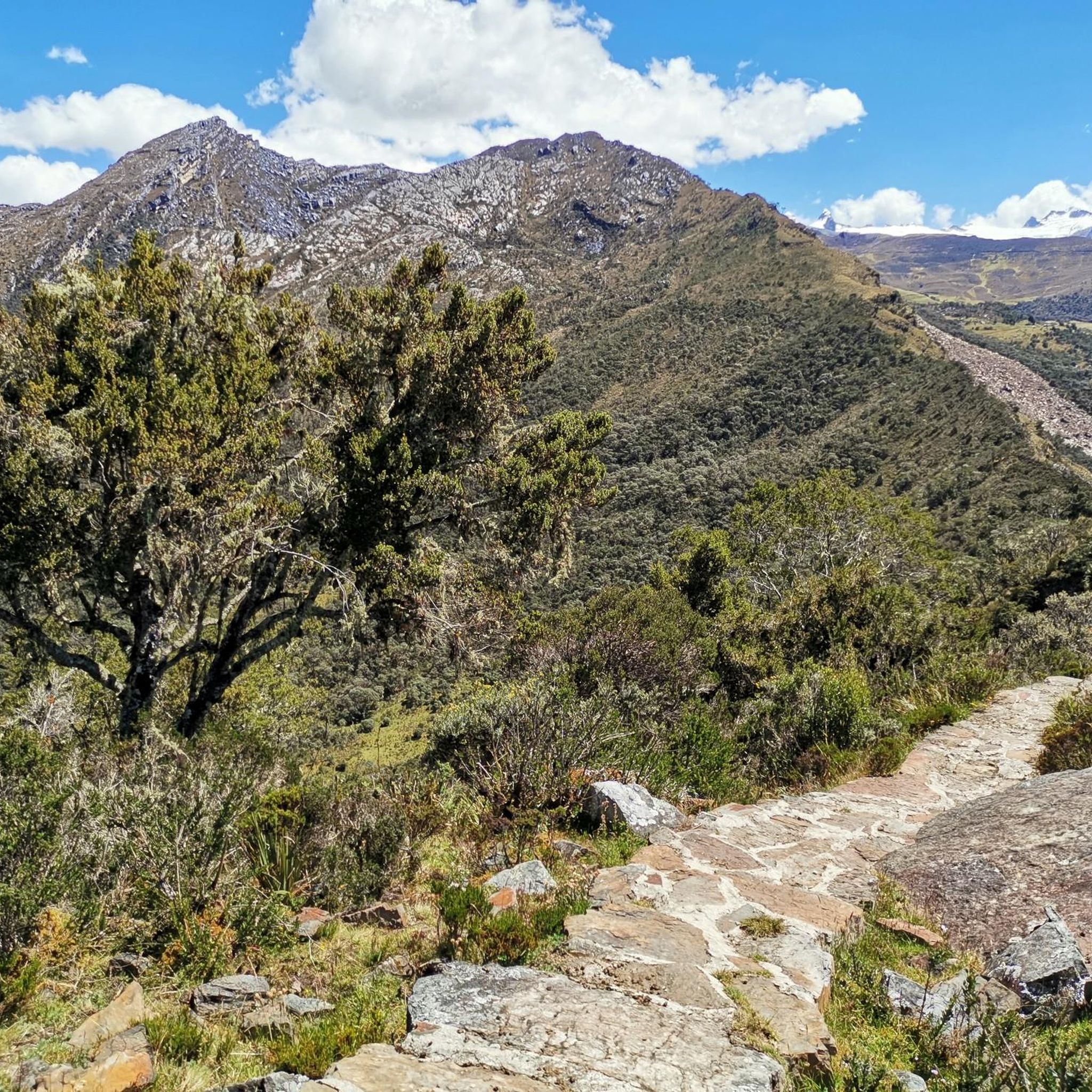
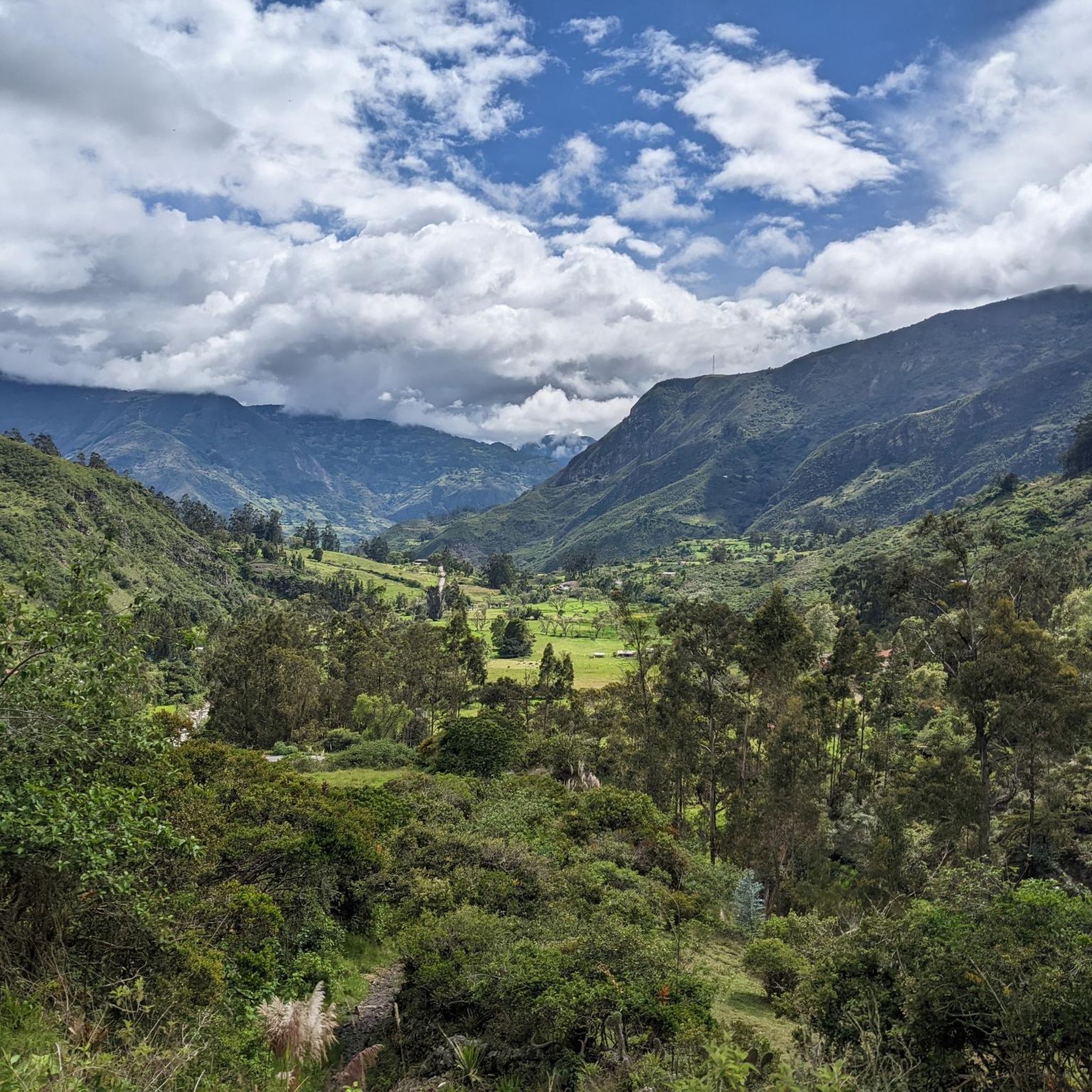
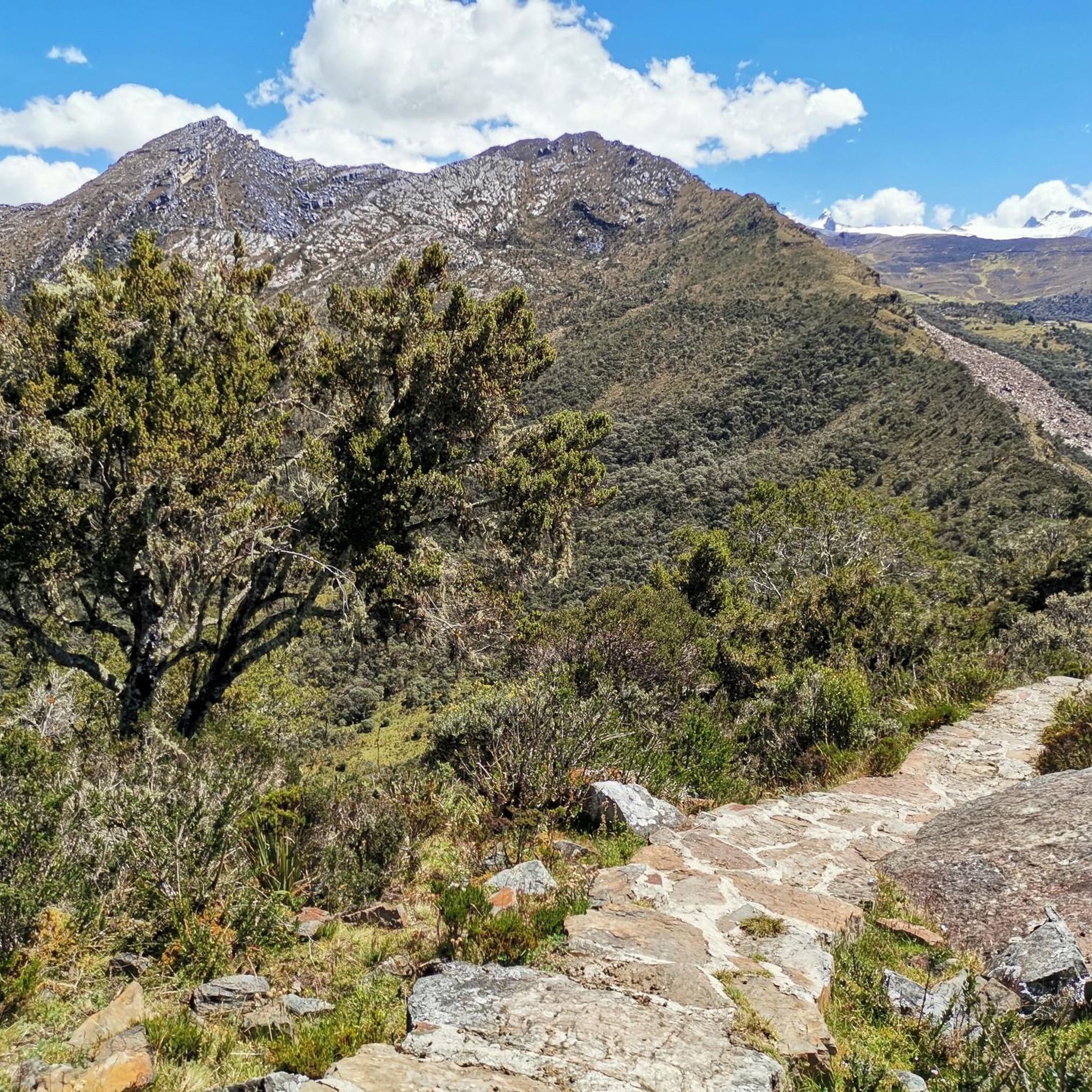
Tips from the Community

21km climb from "La" towards Ocaña. As you ascend to the edge of the mountain, you will notice how you leave behind the flat roads of the Ruta del Sol and enter the mountains of the Eastern Cordillera of the Andes.
1
0


Frequently Asked Questions
What kind of terrain can I expect on touring cycling routes in Norte De Santander?
Norte De Santander offers a highly diverse landscape for touring cyclists, characterized by mountains, rivers, and valleys. You'll encounter varied terrain including high-altitude moorlands like the Santurbán Paramo, sections of the Andes Mountains, and plateaus. This means routes can range from challenging climbs with significant elevation gain to more balanced rides through green zones and river valleys.
How many touring cycling routes are available in Norte De Santander?
Komoot features over 25 touring cycling routes in Norte De Santander, catering to various skill levels. This includes 3 easy routes, 15 moderate routes, and 7 difficult routes, ensuring there's an option for every cyclist.
Are there any circular touring cycling routes in Norte De Santander?
Yes, many touring cycling routes in Norte De Santander are designed as loops. For example, you can try the Trocha a la Palmita – zona verde loop from Portachuelo, a moderate 28.7-mile path, or the more challenging Los Patios Toll loop from San Gregorio, which covers 29 miles with significant elevation gain.
What are some natural attractions or landmarks I can see along the touring cycling routes?
Norte De Santander is rich in natural beauty. You can explore areas near the distinctive rock formations of Los Estoraques Unique Natural Area, or pass by the scenic Río Algodonal. The region also features ecological trails, viewpoints with unique landscapes, and hidden waterfalls within its mountainous terrain.
What is the best time of year for touring cycling in Norte De Santander?
Touring cycling in Norte De Santander is particularly popular during March and June. The region's varied geography leads to diverse climates, so it's always a good idea to check local weather conditions for your specific route and elevation before heading out.
Are there any family-friendly touring cycling options in Norte De Santander?
While many routes involve mountainous terrain, there are easier options available. Komoot lists 3 easy touring cycling routes in the region. When planning a family outing, look for routes with lower elevation gain and shorter distances, and consider areas known for their natural beauty and ecological trails like those near Pamplona and Chinácota.
What do other touring cyclists say about the routes in Norte De Santander?
The touring cycling routes in Norte De Santander are highly rated by the komoot community, with an average score of 4.8 stars from over 50 reviews. Cyclists often praise the diverse landscapes, from river valleys to mountain foothills, and the variety of challenges offered.
Are there any long-distance touring cycling routes in Norte De Santander?
Yes, you can find longer routes suitable for touring. For instance, the Los Patios Toll loop from Ciudadela Juan Atalaya is a significant 38.4-mile (61.8 km) trail that takes approximately 4 hours and 15 minutes to complete, leading through the foothills of the Andes.
What are some moderate difficulty touring cycling routes in the region?
For a balanced ride, consider routes like the Los Patios B Bonito – Kilometer 8 loop from Zulima, a 24.7-mile route, or the Los Patios B Bonito – Final Summit loop from Sayago, which is 25 miles long. These routes offer varied landscapes without the extreme elevation of the most difficult trails.
Are there any routes that pass through historical or cultural sites?
While the focus is on natural landscapes, some routes may pass near points of interest. For example, the TEMPLO HISTORICO loop from Zulima is a 20.9-mile route that suggests proximity to historical elements. Additionally, towns like Chitagá are known for their Murals, offering cultural glimpses.
What kind of elevation gain can I expect on the more difficult touring cycling routes?
Difficult routes in Norte De Santander can feature substantial elevation gain. For example, the Los Patios Toll loop from San Gregorio involves over 650 meters of ascent, while the Los Patios Toll loop from Ciudadela Juan Atalaya has nearly 1000 meters of climbing, making them suitable for experienced touring cyclists.
Most popular routes in Norte De Santander
Most popular attractions in Norte De Santander

Get inspired with the komoot mobile app


Didn’t find what you were looking for?
Check out more Cycling routes throughout Norte De Santander below and find the perfect route in your destination.
Explore more
Browse the best Cycling routes in other regions.
