The best cycling routes in Magdalena
4.5
(30)
223
riders
29
rides
Touring cycling in Magdalena, Colombia, offers diverse landscapes ranging from Caribbean coastlines to the foothills of the Sierra Nevada de Santa Marta. The region features extensive lowlands defined by the Magdalena River, alongside areas with significant elevation changes. Cyclists can explore routes near coastal cities, riverfront promenades, and into the mountainous terrain of Minca, known for its coffee and cocoa farms. The varied topography provides options from flat, urban paths to challenging climbs in the foothills.
Best touring cycling routes in Magdalena
- The most popular touring cycling route is Minca Ecological Capital – Minca loop from Santa Marta, a 24.6 miles (39.6 km) trail that takes 2 hours 48 minutes to complete. This route features significant elevation gain through the Minca region.
- Another top favourite among local touring cyclists is Rela – Rodadero Beach loop from Santa Marta, a moderate 18.3 miles (29.5 km) path. This route explores coastal areas and beaches near Santa Marta.
- Local touring cyclists also love the Entrance to Malecón del Río – Riverfront Promenade, 72nd Street loop from Localidad Norte - Centro Histórico, a 6.8 miles (11.0 km) trail leading through urban riverfront areas, often completed in about 38 minutes.
- Touring cycling in Magdalena is defined by Caribbean beaches, riverfront promenades, and the foothills of the Sierra Nevada mountains. The network offers options for different ability levels, from easy urban rides to difficult mountain ascents.
- The routes in Magdalena are highly rated by the komoot community with an average score of 4.5 stars from more than 20 reviews. More than 200 touring cyclists have used komoot to explore Magdalena's varied terrain.
Last updated: July 15, 2026
5.0
(8)
75
riders
39.5km
02:48
710m
710m
Hard bike ride. Very good fitness required. Mostly paved surfaces. Suitable for all skill levels.
5.0
(7)
23
riders
Easy bike ride. Great for any fitness level. Mostly paved surfaces. Suitable for all skill levels.

Sign up for free
5.0
(2)
15
riders
29.5km
01:48
190m
190m
Moderate bike ride. Good fitness required. Mostly paved surfaces. Suitable for all skill levels.
5.0
(2)
11
riders
12.7km
00:52
210m
210m
Moderate bike ride. Good fitness required. Mostly paved surfaces. Suitable for all skill levels.
13
riders
29.5km
02:02
290m
290m
Moderate bike ride. Good fitness required. Mostly paved surfaces. Suitable for all skill levels.
9
riders
37.7km
02:16
290m
290m
Moderate bike ride. Good fitness required. Mostly paved surfaces. Suitable for all skill levels.
9
riders
36.6km
02:44
400m
400m
Moderate bike ride. Good fitness required. Mostly paved surfaces. Suitable for all skill levels.
5.0
(1)
8
riders
27.5km
02:37
1,090m
1,090m
Hard bike ride. Very good fitness required. Mostly paved surfaces. Suitable for all skill levels.
5.0
(2)
9
riders
18.3km
01:12
230m
230m
Moderate bike ride. Good fitness required. Mostly paved surfaces. Suitable for all skill levels.
5.0
(3)
3
riders
Easy bike ride. Great for any fitness level. Mostly paved surfaces. Suitable for all skill levels.
Get access to more routes and recommendations from other explorers.
Sign up for free
Already have an account?
Our route recommendations are based on thousands of hikes, rides, and runs completed by other people on komoot.
Start today with a free account
Your next adventure awaits.
Login or Signup
Tips from the Community

The La Victoria coffee plantation near Minc is one of the oldest and most traditional coffee plantations in the country. It was founded in 1892 by British engineers and is now run as an active coffee museum. What makes it unique is that the plantation still works with the original machines from the late 19th century, which were largely imported from England and the USA. The entire coffee process uses gravity and hydropower from the mountains to drive the machines. In addition to coffee, the site houses the Nevada Brewery, a craft brewery that produces various types of beer with spring water from the Sierra Nevada.
0
0

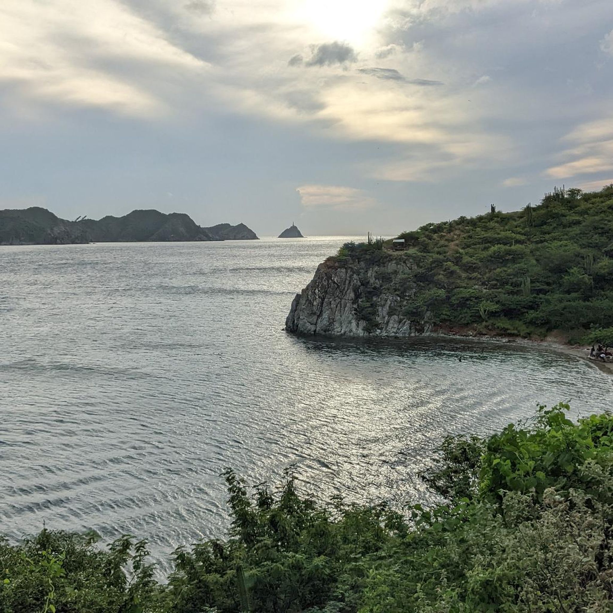
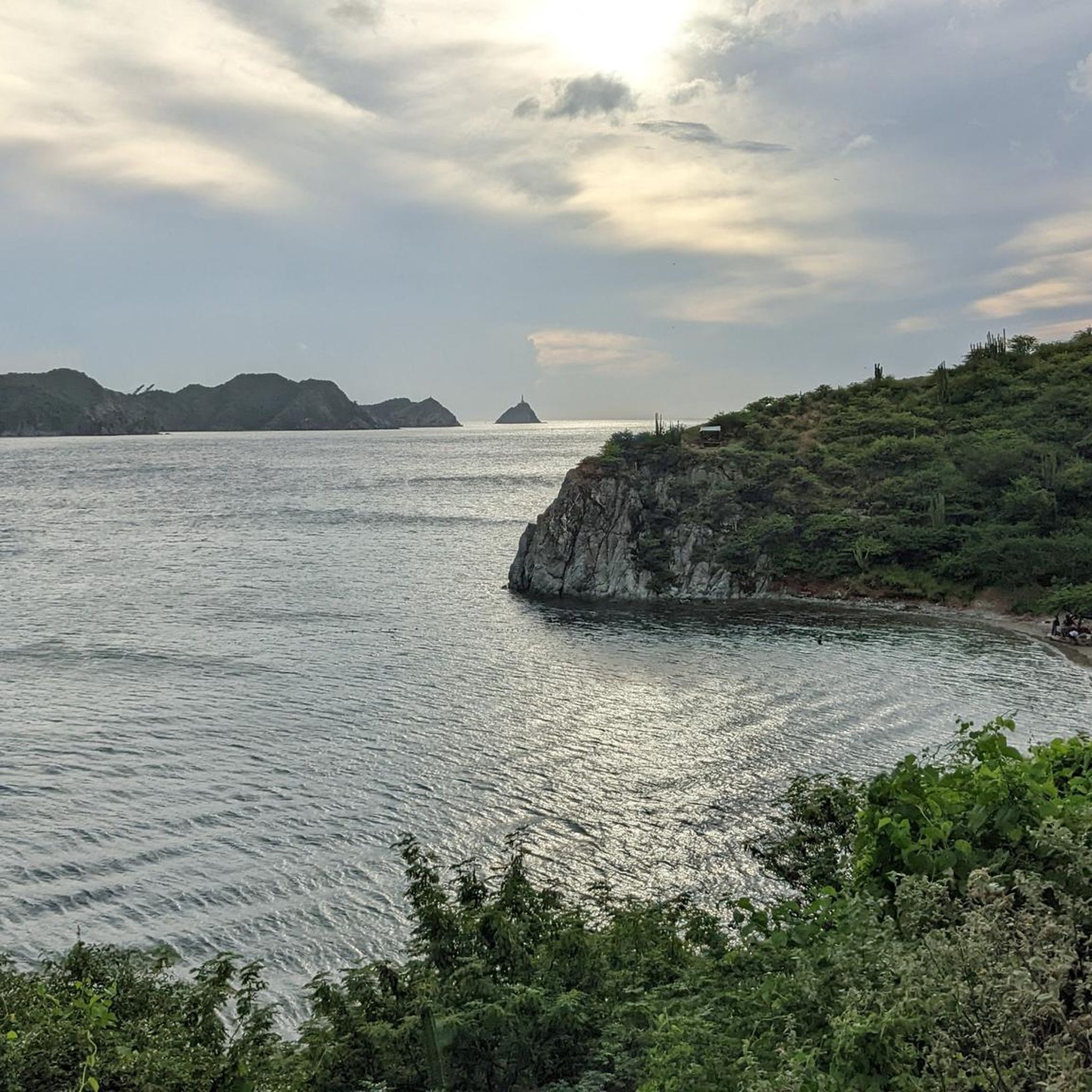
Very nice photo opportunity at the harbor
1
0

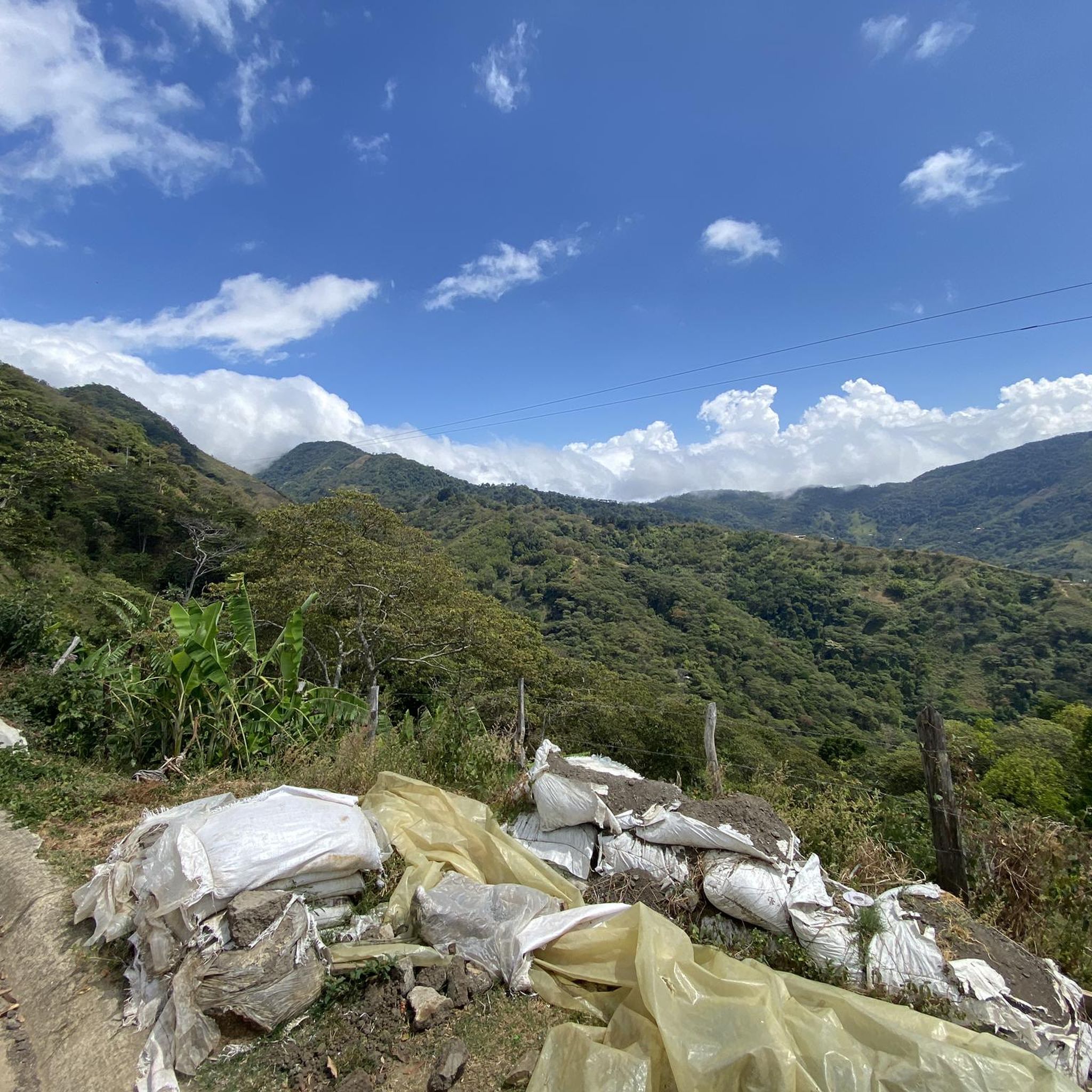
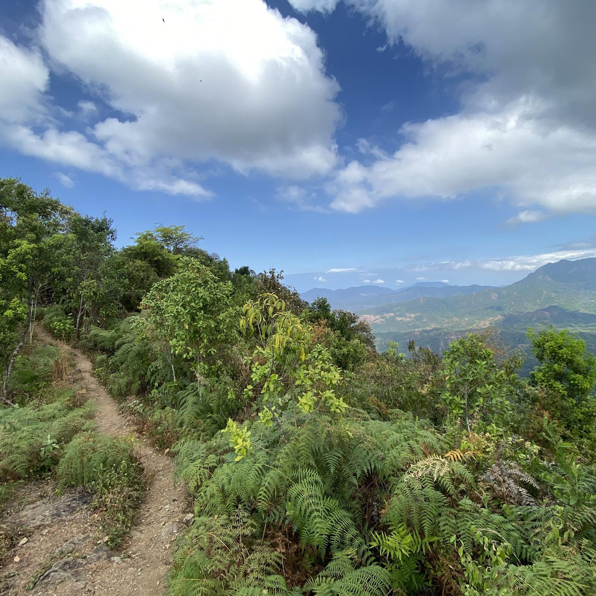
El Campano is a village that sits at an altitude of approximately 1280 meters. It's an ideal starting point for venturing into the lush nature that surrounds you.
0
0

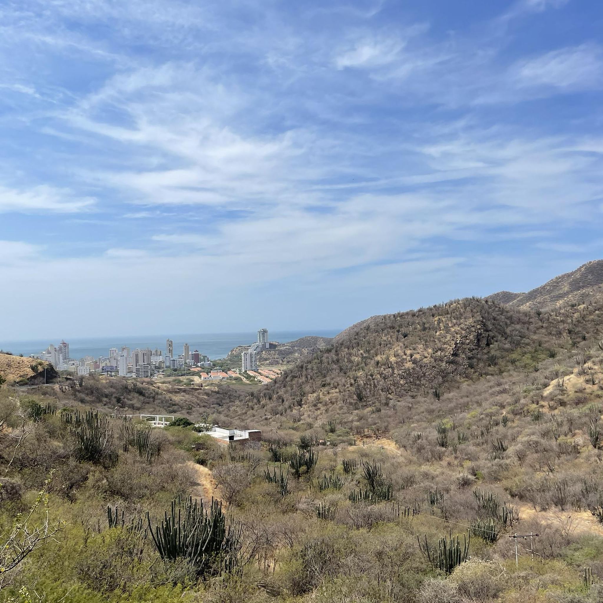
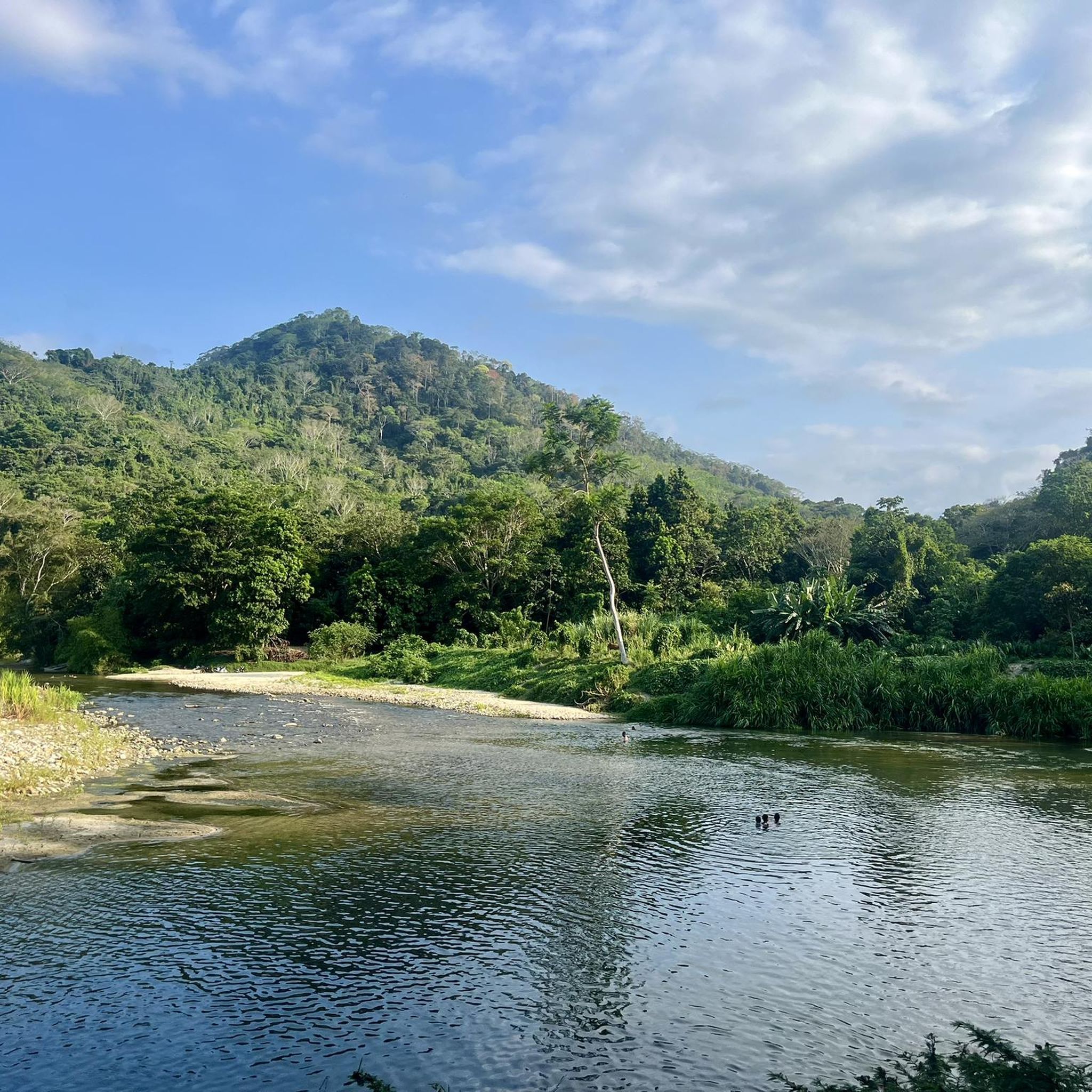
Minca is a small eco-village in the foothills of the Sierra Nevada de Santa Marta, known for its cool climate, rivers and waterfalls like Pozo Azul and Marinka, and trails offering sweeping views of Santa Marta. It's an ideal destination for leisurely hikes through tropical forest, with options to visit coffee and cacao farms. Wear comfortable shoes and bring water, as many trails start from the village and have wet or steep sections.
0
0

Good for training zone 2
0
0

This is a route you should NOT walk. From the railway you will enter a neighbourhood where many robberies take place. I have been reminded of this several times and then went back. Just so you know.
1
0

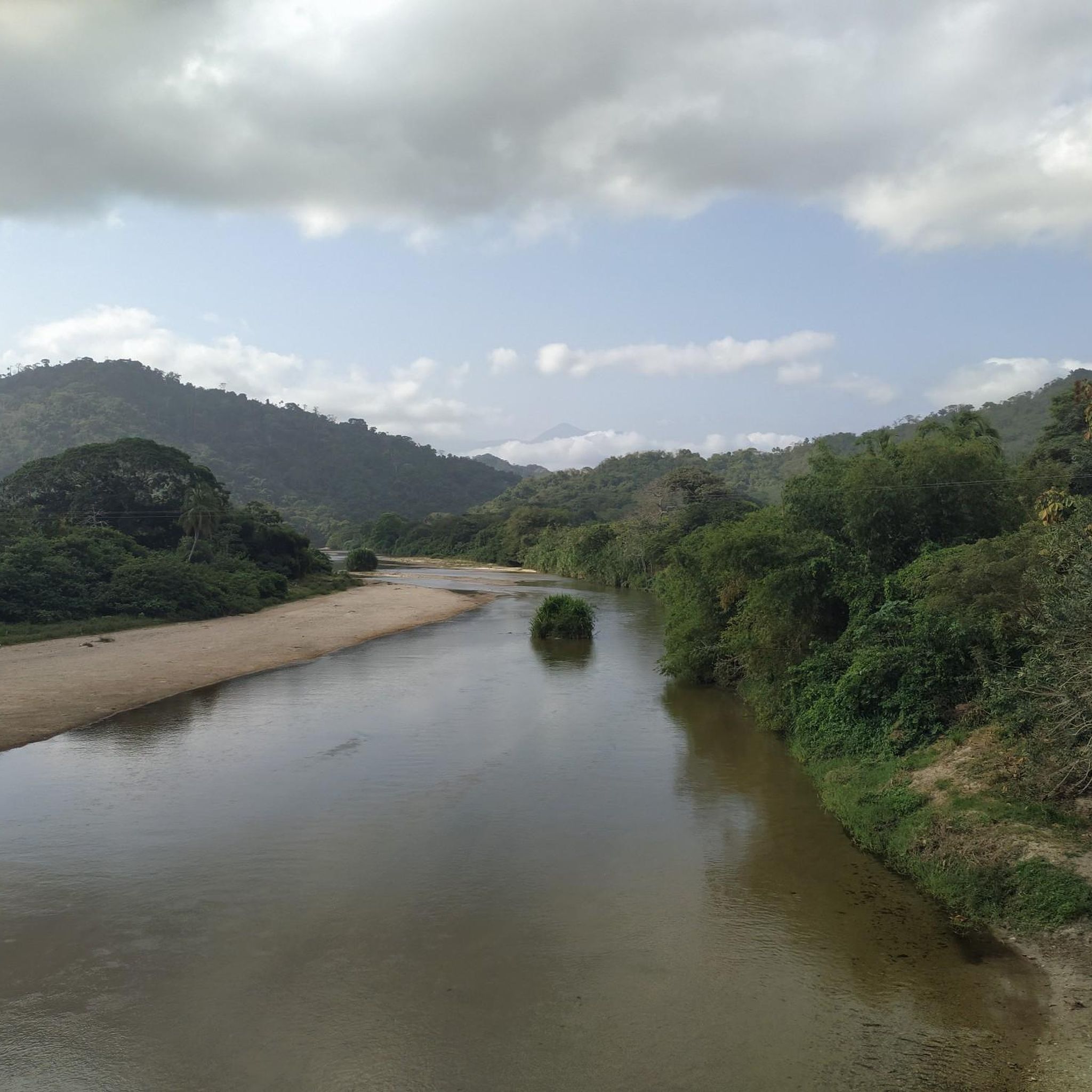
The Malecón del Río, the number one tourist place in the city of Barranquilla.
0
0

Drive with caution due to high traffic flow
0
0
Frequently Asked Questions
How many touring cycling routes are available in Magdalena?
Magdalena offers a diverse selection of nearly 30 touring cycling routes. These routes cater to various skill levels, from easy urban rides to challenging mountain ascents.
What are the difficulty levels of touring cycling routes in Magdalena?
The routes in Magdalena vary significantly in difficulty. You'll find 5 easy routes, 22 moderate routes, and 2 difficult routes, ensuring options for every experience level. For a challenging ride with significant elevation gain, consider the Minca Ecological Capital – Minca loop from Santa Marta.
What kind of terrain can I expect on touring cycling routes in Magdalena?
Touring cycling in Magdalena offers a rich variety of terrain. You can expect everything from flat, urban paths along riverfront promenades, such as the Entrance to Malecón del Río – Riverfront Promenade, 72nd Street loop from Localidad Norte - Centro Histórico, to coastal routes near beaches, and challenging climbs into the foothills of the Sierra Nevada de Santa Marta, particularly around Minca.
Are there any circular touring cycling routes in Magdalena?
Yes, many of the touring cycling routes in Magdalena are designed as loops, allowing you to start and end in the same location. Examples include the popular Rela – Rodadero Beach loop from Santa Marta, which explores coastal areas, and the more challenging Minca Ecological Capital – Minca loop from Santa Marta in the mountains.
Can I find routes that pass by waterfalls in Magdalena?
Absolutely! The Minca region, nestled in the Sierra Nevada foothills, is known for its beautiful waterfalls. Routes in this area, like the Minca – La Victoria Coffee Plantation loop from Reserva Natural de la Sociedad Civil De Las Aves el Dorado Cincinati lote 1, can bring you close to natural attractions such as the Second Marinka waterfall and the Blue Pool.
Are there family-friendly touring cycling routes in Magdalena?
For families or those seeking an easier ride, Magdalena offers several less strenuous options. Routes like the Entrance to Malecón del Río – Riverfront Promenade, 72nd Street loop from Localidad Norte - Centro Histórico provide a gentle experience along urban riverfront areas, with minimal elevation gain.
What do other touring cyclists say about the routes in Magdalena?
The touring cycling routes in Magdalena are highly regarded by the komoot community, boasting an average rating of 4.5 stars from over 20 reviews. More than 200 touring cyclists have explored the region using komoot, often praising the varied topography and the unique blend of Caribbean coastlines and mountain foothills.
Where can I find scenic viewpoints along the touring cycling routes?
Magdalena offers numerous scenic viewpoints, especially in the Sierra Nevada foothills around Minca, where you can enjoy panoramic views of the mountains and valleys. Coastal routes, such as those near Tayrona National Natural Park or the Rodadero Beach loop from Santa Marta, also provide stunning Caribbean sea vistas.
Are there cafes or places to stop for refreshments along the routes?
Yes, particularly in areas like Minca, which is known for its coffee and cocoa farms. Many routes in this region, including the Minca Ecological Capital – Minca loop from Santa Marta, will take you through areas where you can find local cafes and establishments offering refreshments and a taste of local produce.
What is the best time of year for touring cycling in Magdalena?
Magdalena generally experiences a tropical climate. The dry season, typically from December to April, offers more stable weather conditions with less rainfall, making it an ideal time for touring cycling. However, even during the wet season, showers are often brief, and the lush landscape is particularly vibrant.
Are there any routes that explore the coastal areas and beaches?
Yes, several routes are perfect for exploring Magdalena's beautiful coastline and beaches. The Rela – Rodadero Beach loop from Santa Marta is a great option, allowing you to cycle along the Caribbean Sea and enjoy the coastal scenery. Another route, the Rodadero Beach – Rela loop from Santa Marta, also offers similar coastal experiences.
Are there any routes near the Magdalena River?
The Magdalena River defines the western boundary of the department, and you can find routes that explore its vicinity. The Entrance to Malecón del Río – Riverfront Promenade, 72nd Street loop from Localidad Norte - Centro Histórico is an excellent example, offering an urban ride along the riverfront promenade.
Most popular routes in Magdalena
Most popular attractions in Magdalena

Get inspired with the komoot mobile app


Didn’t find what you were looking for?
Check out more Cycling routes throughout Magdalena below and find the perfect route in your destination.
Explore more
Browse the best Cycling routes in other regions.
