The best walks and hikes in Cauca
4.9
(27)
90
hikers
9
hikes
Hiking in Cauca offers diverse terrain across the department's varied topography, which includes Andean mountain ranges, volcanic peaks, and river valleys. The region is characterized by rugged landscapes, high summits, and significant biodiversity, providing a range of experiences from challenging mountain ascents to paths through fertile valleys. Hikers can explore areas within the Colombian Massif, featuring landmarks like the Sotará Volcano and the Volcanic Mountain Range of the Coconucos. The Cauca River also carves through deep gorges and narrow valleys,…
Last updated: July 11, 2026
4.7
(7)
18
hikers
8.27km
03:04
510m
510m
Moderate hike. Good fitness required. Easily-accessible paths. Suitable for all skill levels.
4.7
(7)
16
hikers
8.36km
03:05
520m
520m
Moderate hike. Good fitness required. Easily-accessible paths. Suitable for all skill levels.

Sign up for free
5.0
(4)
16
hikers
8.96km
02:45
310m
310m
Moderate hike. Good fitness required. Easily-accessible paths. Suitable for all skill levels.
5.0
(6)
12
hikers
Moderate hike. Good fitness required. Easily-accessible paths. Suitable for all skill levels.
4
hikers
7.99km
02:14
140m
140m
Moderate hike. Good fitness required. Easily-accessible paths. Suitable for all skill levels.
Get access to more routes and recommendations from other explorers.
Sign up for free
Already have an account?
Our route recommendations are based on thousands of hikes, rides, and runs completed by other people on komoot.
Start today with a free account
Your next adventure awaits.
Login or Signup
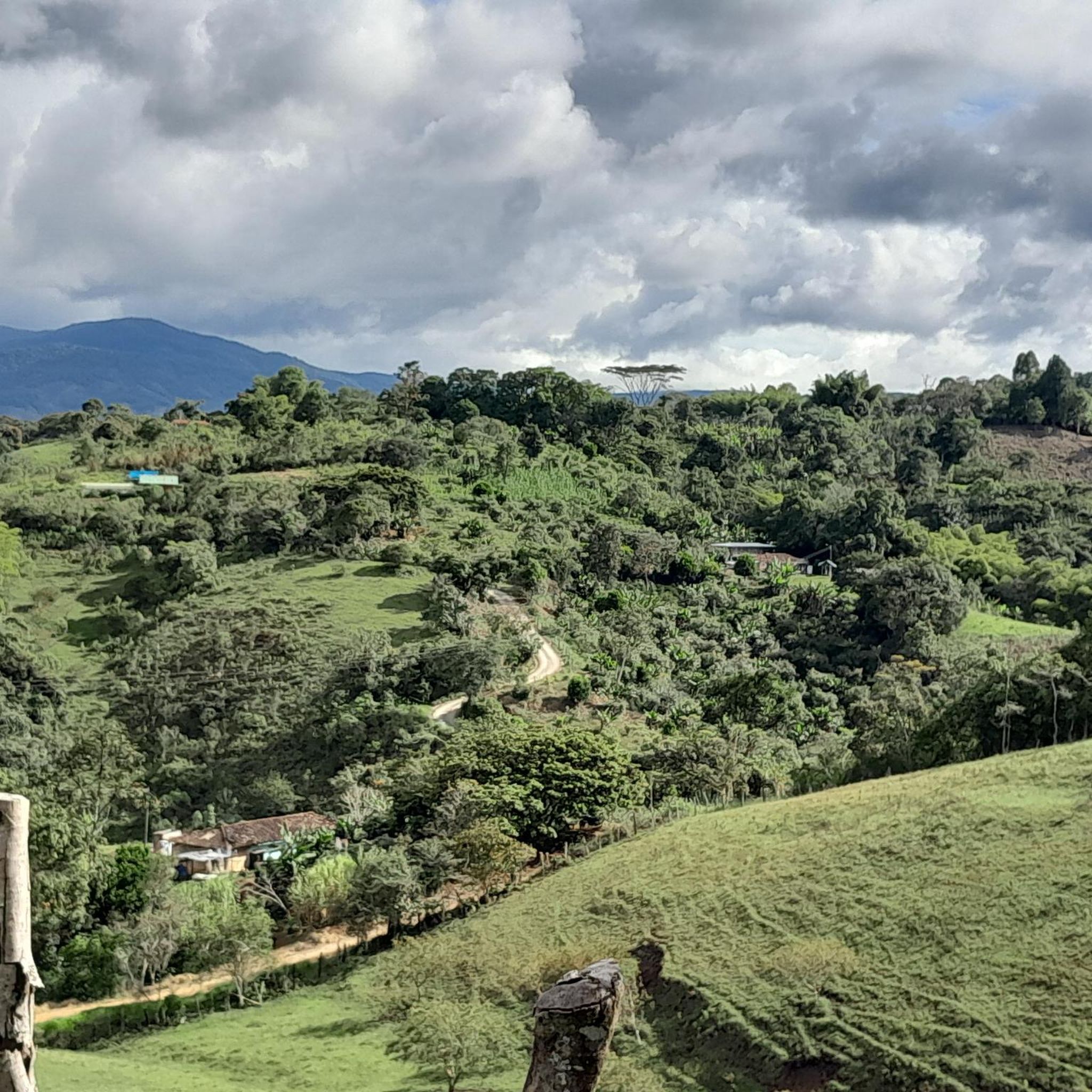
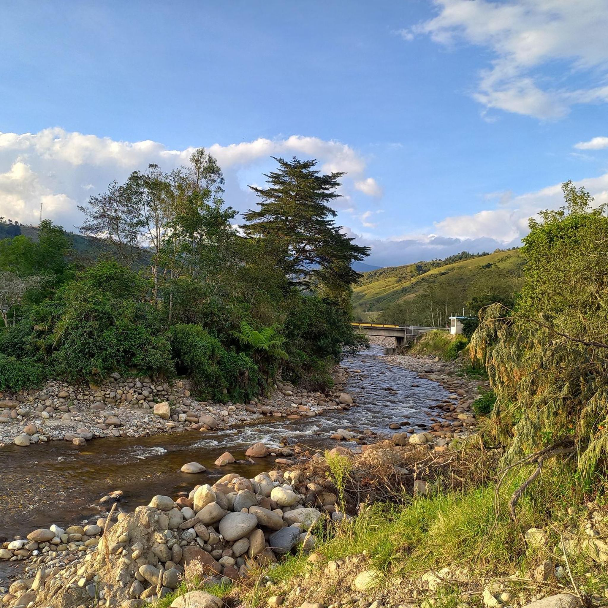
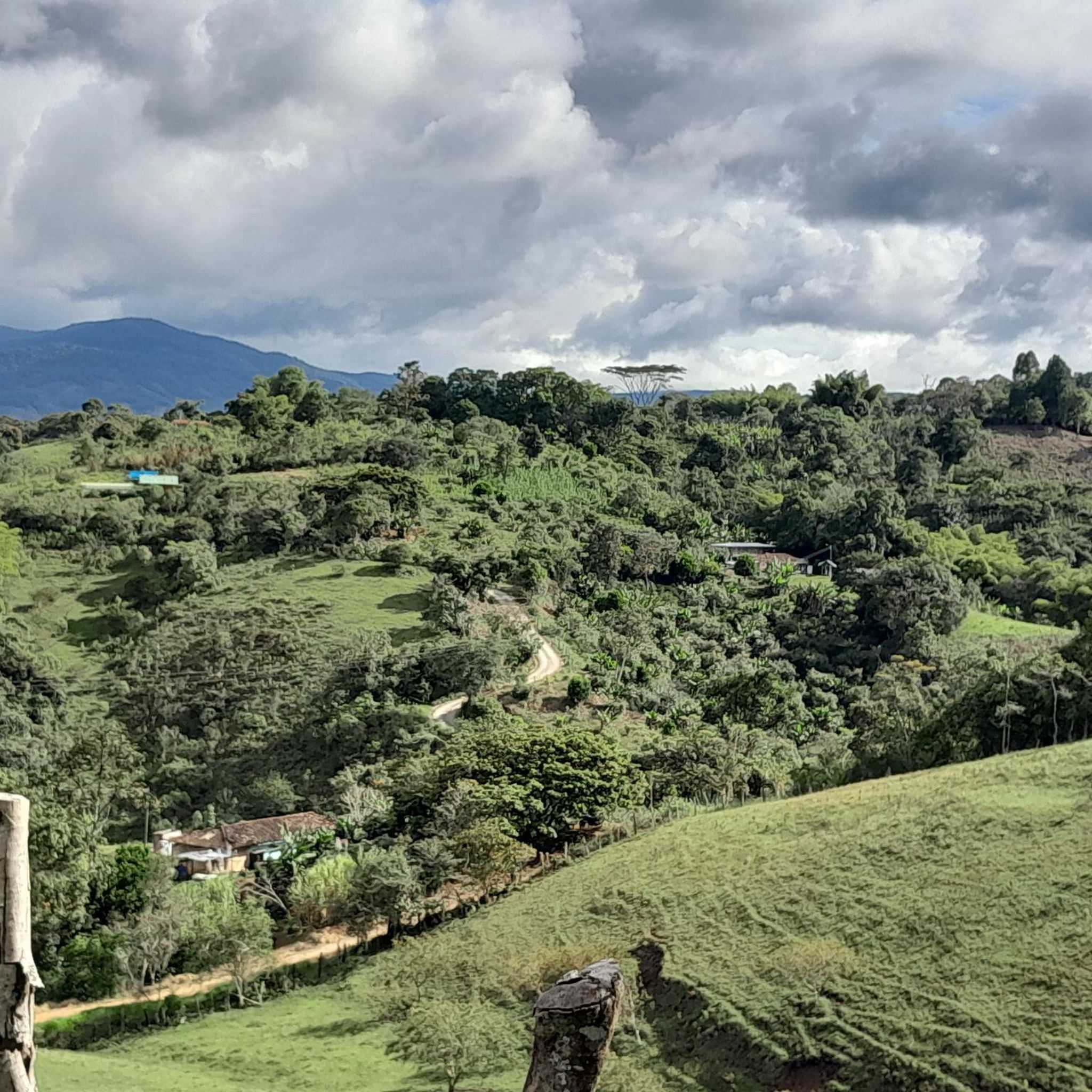
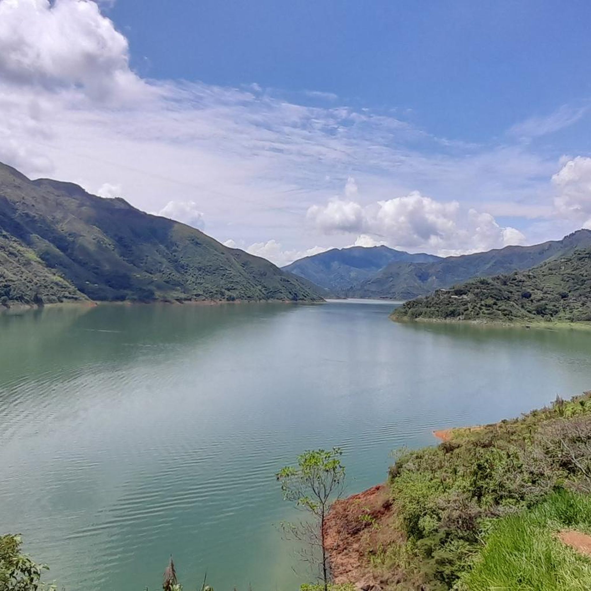
Tips from the Community


Beautiful ecological park that borders the Pance River, which is one of the most important in the City of Cali and emblem of the Cali Culture for Family walks
0
0


wafers at 3000
0
0

The town is an imitation of Popayán in miniature. Well additional place on the walk to the hill of Morro.
0
0
Frequently Asked Questions
What kind of terrain can I expect on hiking trails in Cauca?
Cauca offers incredibly diverse terrain, ranging from high Andean mountain ranges and volcanic landscapes to river valleys and moorlands. You'll find rugged paths in the Colombian Massif, challenging ascents around volcanoes like Puracé and Sotará, and more gentle routes through fertile valleys. The department's topography includes canyons, lagoons, and even coastal areas, ensuring a varied hiking experience.
Are there any easy hiking trails suitable for beginners in Cauca?
Yes, Cauca has several easy trails. For a more accessible experience, consider the Rincón Payanés loop from Caldas, which is 3.7 km long and takes about an hour to complete. This route offers a pleasant walk through a more accessible landscape.
Can I find challenging hikes in Cauca?
Absolutely. Cauca is home to demanding trails, especially around its volcanic peaks and high Andean regions. The region's highest points, such as Puracé volcano (4,700 meters) and Azúcar (5,000 meters), offer strenuous routes. While specific difficult routes are not detailed in this guide, the general terrain of the Colombian Massif and the Volcanic Mountain Range of the Coconucos provides ample opportunities for experienced hikers seeking a challenge.
Are there any circular hiking routes in Cauca?
Many of Cauca's trails are designed as loops, allowing you to start and end at the same point. Examples include the Alto El Aguacate – El Aguacate Ancient Tomb loop from Alto de San Andrés, a moderate 8.2 km route, and the Hiking loop from Alto de San Andrés, which covers 8.45 km. These loops are great for exploring without needing to arrange return transport.
What natural attractions or landmarks can I see while hiking in Cauca?
Cauca's hiking trails often lead to significant natural and cultural landmarks. You can explore areas within the Puracé National Natural Park, known for its high-altitude Andean ecosystems and volcanic landscapes. The region also features the Sotará Volcano and the Volcanic Mountain Range of the Coconucos. For cultural insights, the Inzá Pyramid in Tierradentro offers an archaeological site accessible by hike. Additionally, you might encounter highlights like the Puracé Sulfur Mine or the La Virgen Shrine near some routes.
What is the best time of year to go hiking in Cauca?
The best time for hiking in Cauca generally depends on the specific area and elevation. While the region experiences varied weather, the drier seasons typically offer more favorable conditions for exploring the trails. It's always advisable to check local weather forecasts for the specific area you plan to visit, especially for high-altitude regions like Puracé National Natural Park, which can have unpredictable conditions.
Are there any family-friendly hiking options in Cauca?
For families looking for easier walks, the Rincón Payanés loop from Caldas is a good option. Its shorter distance and easier grade make it suitable for a pleasant outing with children. When planning, consider the elevation changes and trail surface to ensure it's appropriate for all family members.
What do other hikers say about the trails in Cauca?
The hiking trails in Cauca are highly regarded by the komoot community, with an average score of 4.2 stars from over 20 reviews. Hikers often praise the diverse landscapes, from volcanic peaks to lush valleys, and the opportunities to explore both natural beauty and cultural sites. Many appreciate the variety of routes available for different skill levels.
Are permits required for hiking in certain areas of Cauca?
Yes, permits may be required for hiking in specific protected areas, particularly within National Natural Parks like Puracé National Natural Park or Munchique National Natural Park. It's crucial to check the regulations of the specific park or reserve you plan to visit in advance, as access might be restricted or require prior authorization for conservation purposes.
What kind of wildlife might I encounter on the trails in Cauca?
Cauca's diverse ecosystems, especially within its national parks, are rich in biodiversity. Depending on the altitude and habitat, you might spot various bird species, including Andean condors in higher elevations, and potentially mammals like spectacled bears or tapirs in more remote areas. Always maintain a respectful distance and avoid disturbing wildlife.
Are there any hiking routes that offer views of volcanoes?
Yes, Cauca is defined by its volcanic landscapes. Trails in the Central Cordillera, particularly around the Volcanic Mountain Range of the Coconucos, offer stunning views of peaks like Sotará Volcano, Puracé, and Azúcar. These routes provide a unique opportunity to experience the dramatic scenery shaped by these active geological features.
Where can I find accommodation near hiking areas in Cauca?
Accommodation options vary depending on the specific hiking area. Near Popayán, a major city in Cauca, you'll find a range of hotels and guesthouses. For areas closer to national parks or volcanoes like Sotará, there might be more rustic lodges, haciendas, or eco-tourism accommodations. It's recommended to research and book in advance, especially for remote locations.
Is public transport available to reach hiking trailheads in Cauca?
Public transport options to trailheads can be limited, especially for more remote routes. Major towns like Popayán have bus services, but reaching specific starting points for hikes often requires local taxis, shared jeeps (colectivos), or private transport. For popular areas, there might be more organized transport options, but planning ahead is essential.
Most popular attractions in Cauca

Get inspired with the komoot mobile app


Explore more
Browse the best Hikes in other regions.
