The best walks and hikes in Caldas
4.6
(333)
1,659
hikers
22
hikes
Hiking in Caldas Colombia offers diverse landscapes, from warm valleys to cold, mountainous terrain within the Coffee Axis. The region is characterized by varying thermal altitudes, encompassing dense Andean forests, páramo ecosystems, and volcanic peaks. This varied topography provides a wide spectrum of natural environments for exploration.
Best hiking trails in Caldas
- The most popular hiking route is Vuelta por la cascada Velo de Dragón desde Jardín, a 9.5 miles (15.3 km) trail that takes 5 hours 7 minutes…
Last updated: July 15, 2026
4.4
(59)
238
hikers
15.3km
05:07
730m
730m
Hard hike. Very good fitness required. Easily-accessible paths. Suitable for all skill levels.
4.7
(57)
213
hikers
18.8km
06:12
870m
870m
Hard hike. Very good fitness required. Easily-accessible paths. Suitable for all skill levels.

Sign up for free
4.7
(57)
269
hikers
4.83km
01:21
120m
120m
Easy hike. Great for any fitness level. Easily-accessible paths. Suitable for all skill levels.
4.4
(11)
84
hikers
13.5km
04:32
630m
630m
Moderate hike. Good fitness required. Easily-accessible paths. Suitable for all skill levels.
4.3
(12)
41
hikers
3.92km
01:16
170m
160m
Easy hike. Great for any fitness level. Easily-accessible paths. Suitable for all skill levels.
4.9
(7)
47
hikers
16.0km
05:37
880m
880m
Hard hike. Very good fitness required. Easily-accessible paths. Suitable for all skill levels.
4.7
(3)
41
hikers
10.6km
03:29
480m
480m
Moderate hike. Good fitness required. Easily-accessible paths. Suitable for all skill levels.
4.8
(4)
17
hikers
10.7km
03:25
450m
450m
Moderate hike. Good fitness required. Easily-accessible paths. Suitable for all skill levels.
4.7
(48)
143
hikers
6.93km
02:03
210m
210m
Moderate hike. Good fitness required. Easily-accessible paths. Suitable for all skill levels.
4.8
(35)
187
hikers
10.1km
02:50
210m
210m
Moderate hike. Good fitness required. Easily-accessible paths. Suitable for all skill levels.
Get access to more routes and recommendations from other explorers.
Sign up for free
Already have an account?
Our route recommendations are based on thousands of hikes, rides, and runs completed by other people on komoot.
Start today with a free account
Your next adventure awaits.
Login or Signup
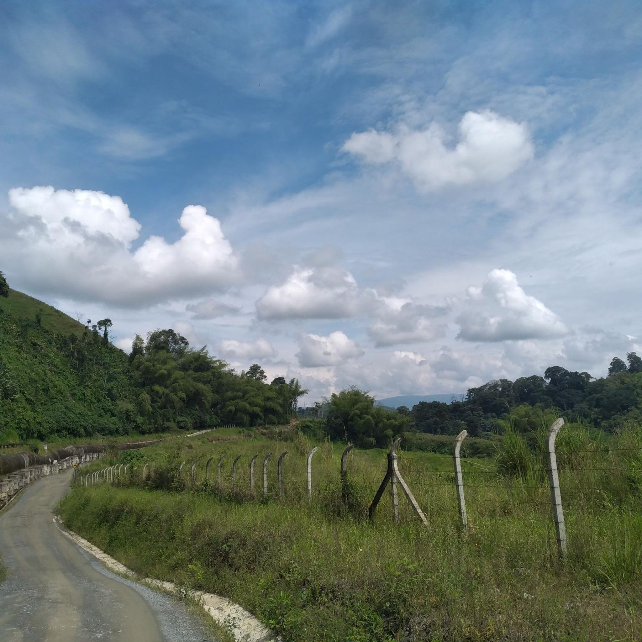
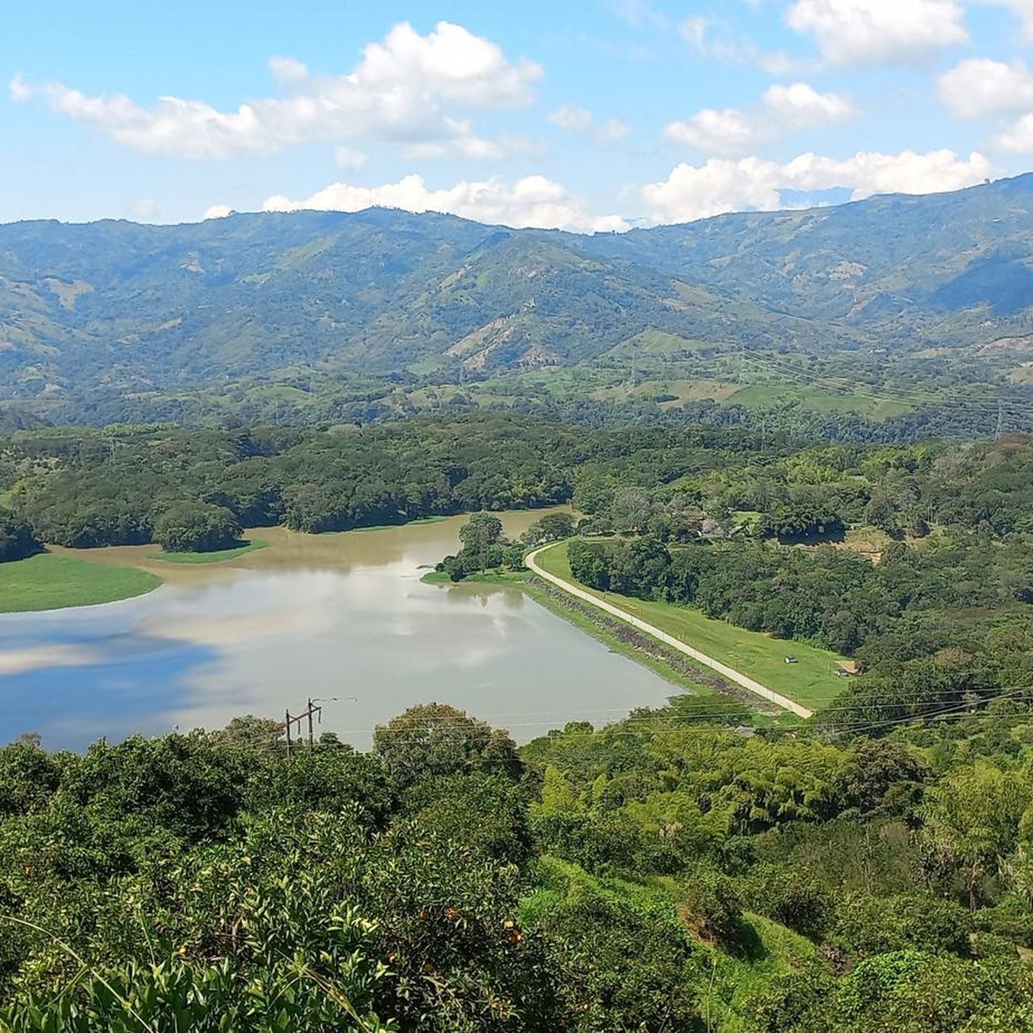
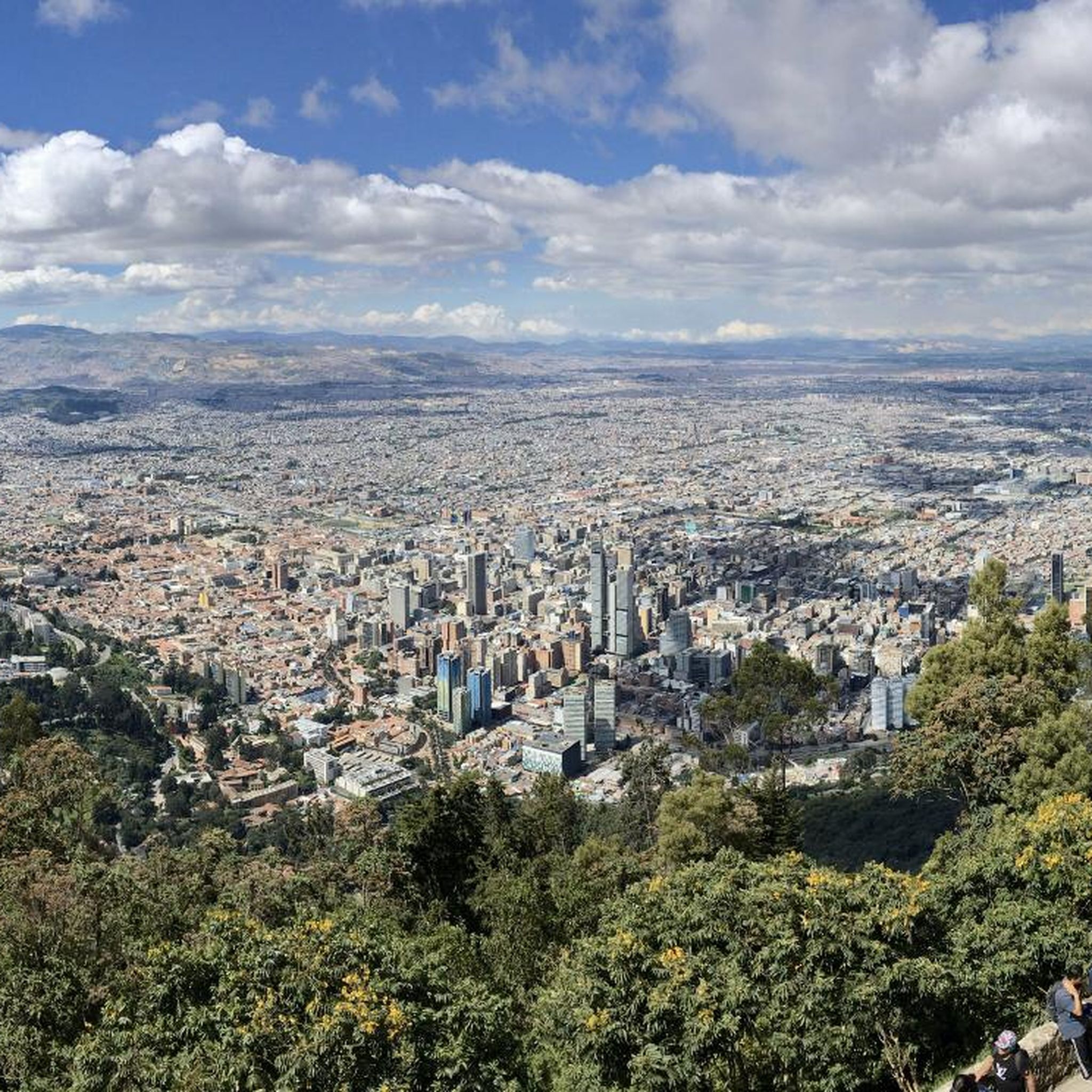

Tips from the Community

After an easy hike, you'll reach this open cave with a waterfall in the middle. There's an entrance fee, but it's really worth it.
0
0
This is just one of the seven waterfalls along the route you should be taking if you're following this path. The idyllic setting is well worth it. The best part? You can cool off after a long hike.
0
0

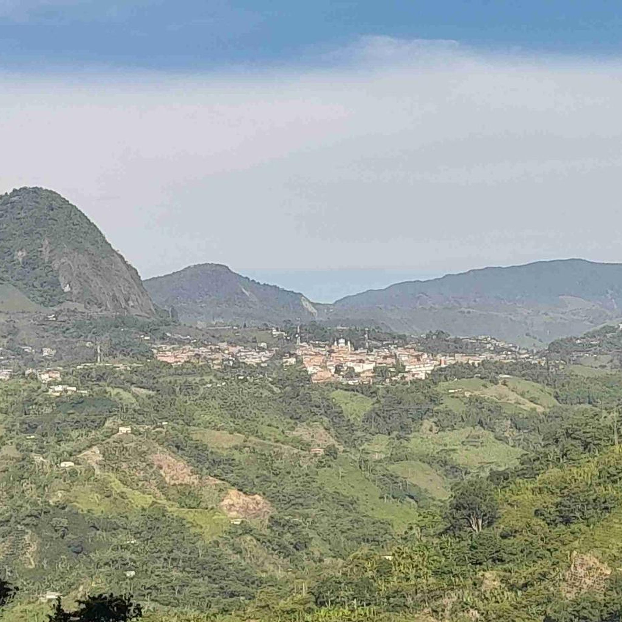
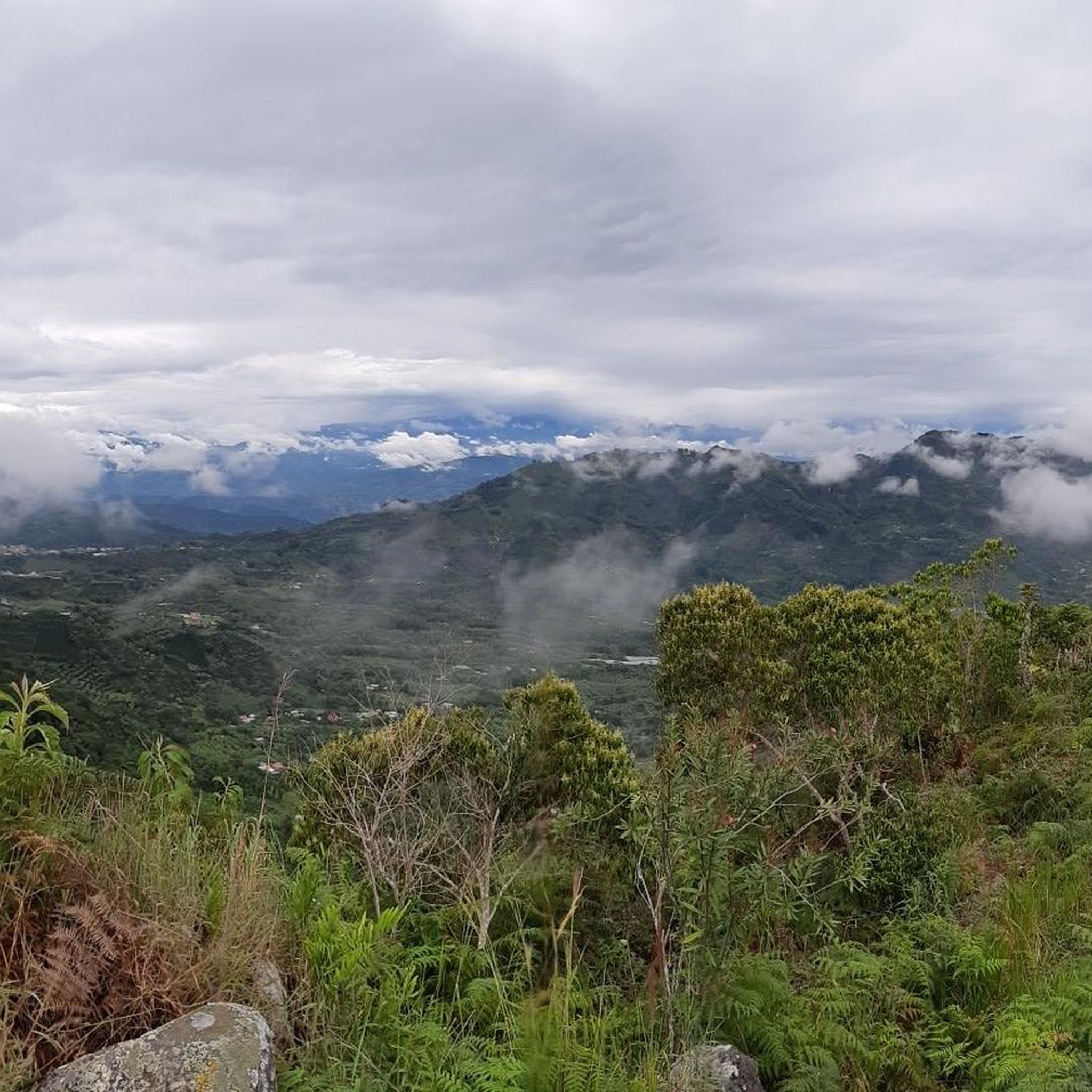
The cluster of communication antennas marks the distant summit towards which the surrounding trails lead. The views from here are spectacular and more than compensate for the effort of the climb.
0
0
This is one of several churches in Colombia dedicated to the Immaculate Conception. Inaugurated in 1932, it was elevated to a minor basilica by Pope John Paul II in 2003, making it a pilgrimage site in the country.
0
0
Along the way, you'll pass through a series of banana plantations. This section is especially beautiful for the views and the contrast between the plantation and the landscape towards the valley.
0
0

Charco Corazón is a natural pool of clear water on the outskirts of Jardín, ideal for a quick swim in a peaceful, green setting. The access path is short but can have muddy sections, so it's advisable to wear shoes with good traction.
0
0
One of the waterfalls worth seeing in the area around Jardín.
0
0
The La Garrucha cable car offers quick and scenic access to the hillsides surrounding Jardín, providing open views of the valley and the town. It's an easy and affordable way to connect with hiking trails along quiet country lanes.
1
0
Frequently Asked Questions
What kind of terrain and landscapes can I expect when hiking in Caldas?
Caldas offers incredibly diverse landscapes due to its varying thermal altitudes. You can expect to hike through dense Andean forests, unique páramo ecosystems with frailejón plants, and even superpáramo near volcanic peaks. The region also features cloud forests, thermal springs, and valleys, providing a wide spectrum of natural environments.
Are there easy hiking trails suitable for beginners in Caldas?
Yes, Caldas has several easy trails perfect for beginners or those looking for a relaxed walk. For example, the Charco Corazón y Cascada del Amor desde Jardín — circular con teleférico is an easy 3.0-mile (4.8 km) circular route featuring a heart-shaped pool and a waterfall, accessible via a cable car. Another easy option is the Vuelta al cerro de Cristo Rey — Circular desde Jardín.
Are there challenging hikes for experienced trekkers in Caldas?
Absolutely. Caldas is home to difficult trails that will test experienced hikers. The Vuelta por la cascada Velo de Dragón desde Jardín is a challenging 9.5-mile (15.3 km) route leading to a prominent waterfall. Another demanding option is the Ruta a la cueva del Esplendor desde Jardín, an 11.7-mile (18.8 km) trail through varied terrain to a cave.
What natural features or landmarks can I see while hiking in Caldas?
Caldas is rich in natural beauty. You can encounter majestic snow-capped volcanic peaks in Los Nevados National Natural Park, such as Nevado del Ruiz, Nevado de Santa Isabel, and Nevado del Tolima. The region also boasts stunning waterfalls like the Velo de Dragón and Cascada del Amor, cloud forests, and unique páramo landscapes. For specific points of interest, you might explore areas like Alto de la Mina or the Lusitania–Gallinazo Dirt Road.
Are there any waterfalls to visit on hikes in Caldas?
Yes, waterfalls are a prominent feature on many Caldas hikes. The Vuelta por la cascada Velo de Dragón desde Jardín leads directly to a significant waterfall. Another route, Charco Corazón y Cascada del Amor desde Jardín, features the Cascada del Amor. You can also explore the Ruta de las siete cascadas for multiple waterfall views.
What is the best time of year to go hiking in Caldas?
Caldas experiences varying thermal altitudes, meaning weather can differ significantly across the region. Generally, the drier seasons are often preferred for hiking, but the tropical climate means rain can occur year-round. It's best to check local weather forecasts for the specific area and altitude you plan to hike, especially if venturing into high-altitude areas like Los Nevados National Natural Park.
Are there any specific regulations or permits needed for hiking in Caldas, especially in national parks?
Yes, if you plan to hike in protected areas like Los Nevados National Natural Park, permits or specific regulations may apply. It's crucial to check with the park authorities in advance for current entry requirements, guided tour mandates, and any restrictions due to volcanic activity or conservation efforts. You can find more information on the official park website: Parques Nacionales Naturales de Colombia.
Are there circular hiking routes available in Caldas?
Yes, Caldas offers several circular routes for hikers who prefer to start and end in the same location. An example is the Charco Corazón y Cascada del Amor desde Jardín — circular con teleférico. Another popular loop is the Vuelta al cerro de Cristo Rey — Circular desde Jardín.
What do other hikers enjoy most about hiking in Caldas?
The hiking routes in Caldas are highly rated by the komoot community, with an average score of 4.7 stars from nearly 300 reviews. Reviewers often praise the region's stunning and diverse natural landscapes, from volcanic scenery to cloud forests, and the opportunity to discover beautiful waterfalls and unique ecosystems.
Is Caldas a good destination for birdwatching while hiking?
Absolutely. Caldas is renowned for its exceptional bird diversity, boasting over 800 bird species. Areas like the Río Blanco Nature Reserve and Termales del Ruiz are particularly famous among birdwatchers, offering ecological trails where you can combine hiking with spotting numerous endemic and migratory bird species in their natural cloud forest habitats.
Can I find trails that lead to caves in Caldas?
Yes, there are trails that lead to interesting cave formations. The Ruta a la cueva del Esplendor desde Jardín is a notable example, taking hikers through varied terrain to reach the impressive Cueva del Esplendor.
Are there opportunities for relaxing in thermal springs after a hike in Caldas?
Yes, Caldas is known for its volcanic thermal springs, offering a perfect way to relax after a day of hiking. Termales del Ruiz, located near Los Nevados National Natural Park, is a popular spot where you can enjoy the natural hot springs and even explore ecological trails leading to waterfalls in the surrounding area.
Most popular attractions in Caldas

Get inspired with the komoot mobile app


Didn’t find what you were looking for?
Check out more Hikes throughout Caldas below and find the perfect route in your destination.
Explore more
Browse the best Hikes in other regions.
