The best road cycling routes in Francisco Morazán
5.0
(3)
65
riders
4
rides
Road cycling routes in Francisco Morazán traverse a diverse landscape characterized by mountainous terrain, cloud forests, and extensive pine forests. The region offers routes with significant elevation changes, particularly around Tegucigalpa, catering to cyclists seeking challenging ascents and descents. Roads leading to areas like La Tigra National Park and Valle de Ángeles provide scenic opportunities through lush environments. This varied topography ensures a range of road cycling experiences across different skill levels.
Best road cycling routes in Francisco Morazán
- The…
Last updated: July 2, 2026
5.0
(2)
36
riders
44.2km
02:27
810m
810m
Moderate road ride. Good fitness required. Mostly well-paved surfaces and easy to ride.
10
riders
33.9km
02:04
800m
800m
Moderate road ride. Good fitness required. Mostly well-paved surfaces and easy to ride.

Sign up for free
1
riders
45.2km
02:40
930m
930m
Hard road ride. Very good fitness required. Mostly well-paved surfaces and easy to ride.
Our route recommendations are based on thousands of hikes, rides, and runs completed by other people on komoot.
Start today with a free account
Your next adventure awaits.
Login or Signup

Tips from the Community

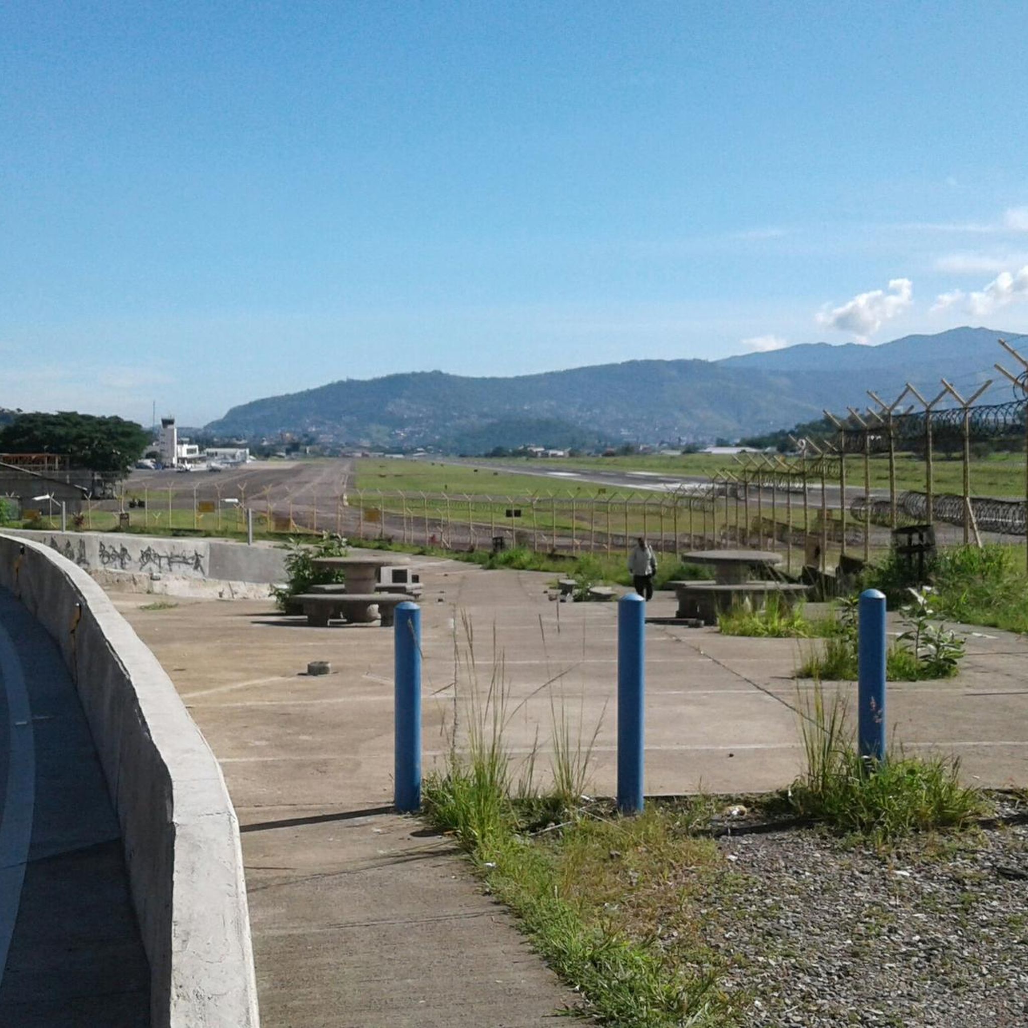
It has a small square in the south head to be able to observe the takeoffs, at night with the lights on it is a show, highly recommended for the end of night roles
0
0
open until 8pm, near CABEI AND SUPERMERCADO LA COLONIA # 1, to eat or hydrate after training
0
0
Frequently Asked Questions
What kind of terrain can I expect on road cycling routes in Francisco Morazán?
Francisco Morazán is characterized by diverse terrain, including mountainous areas, cloud forests, and extensive pine forests. You'll encounter challenging ascents and descents, particularly around Tegucigalpa, with many routes featuring significant elevation changes. While some sections may be unpaved, many roads are mostly paved, offering varied experiences for different skill levels.
How challenging are the road cycling routes in Francisco Morazán?
The routes vary in difficulty. For instance, the Cuestita Larga loop from Universidad Nacional Autónoma de Honduras is considered difficult, featuring over 930 meters of elevation gain. Other routes like the Cuestita Larga loop from Colonia Arturo Quezada and the Mega Larach loop from Casa Presidencial are rated moderate, still offering substantial climbing. The region caters to cyclists seeking demanding rides.
What natural features and landmarks can I see along the road cycling routes?
Many routes offer scenic views through lush environments. You can cycle towards areas like La Tigra National Park, a significant cloud forest, or through the charming mountain landscape around Valle de Ángeles. Pine forests are also a common sight, especially in areas like Santa Ana. These routes combine natural beauty with opportunities to explore local culture.
Are there any easy or family-friendly road cycling routes in Francisco Morazán?
While many routes in Francisco Morazán feature significant elevation changes, there are options for varying ability levels. The region offers a network of routes, some of which are less demanding, though specific 'easy' or 'family-friendly' designated road cycling routes are not explicitly detailed in the provided data. It's advisable to check individual route profiles for elevation and distance to find suitable options.
When is the best time of year for road cycling in Francisco Morazán?
Francisco Morazán experiences cool temperatures and consistent winds, particularly in higher altitude areas like Santa Ana. Generally, the dry season (roughly November to April) is preferred for outdoor activities like cycling, offering more predictable weather conditions. The rainy season can make some unpaved sections more challenging.
What do other road cyclists enjoy most about road cycling in Francisco Morazán?
The area is highly rated by the komoot community, with an average score of 5.0 stars. Reviewers often praise the varied terrain, which includes mountainous landscapes, cloud forests, and pine forests, providing both challenging climbs and scenic beauty. The diverse network of routes caters to different skill levels, making it appealing to many cyclists.
Are there specific parking areas for cyclists near the routes in Francisco Morazán?
While specific parking areas for cyclists are not detailed, many routes originate from urban or suburban areas like Colonia Arturo Quezada, Universidad Nacional Autónoma de Honduras, and Casa Presidencial in Tegucigalpa. It is recommended to check the starting points of individual routes for available parking options in those vicinities.
Can I reach road cycling routes in Francisco Morazán using public transport?
Routes often start from accessible locations within Tegucigalpa, such as universities or presidential areas. Depending on the specific starting point, public transport options within Tegucigalpa may allow you to get close to the beginning of a route. However, direct public transport specifically designed for cyclists to trailheads is not broadly specified.
Are there any permits required for road cycling in Francisco Morazán?
Generally, permits are not required for road cycling on public roads in Francisco Morazán. However, if your route takes you into protected areas like La Tigra National Park, there might be entrance fees or specific regulations for accessing certain sections. It's always best to check with local authorities or park management for the latest requirements.
Are there cafes or accommodation options near the road cycling routes?
Yes, routes often pass through or near towns and communities. For example, cycling through Valle de Ángeles offers opportunities to explore local art studios and find cafes. Towns like Santa Lucía also provide pleasant environments for stops. In Tegucigalpa, being a major city, you will find numerous cafes and accommodation options near the starting points of many routes.
What is the total number of road cycling routes available in Francisco Morazán?
Francisco Morazán offers a comprehensive network of road cycling routes. There are over 116 recorded cycling routes in the department, with a significant concentration around Tegucigalpa.
Can I bring my dog on road cycling trails in Francisco Morazán?
While road cycling is generally on public roads, specific regulations regarding dogs on trails or in natural parks can vary. It's best to check local ordinances or park rules if your route includes protected areas or designated trails. For general road cycling, dogs are usually permitted if kept under control and in accordance with local leash laws.
Most popular routes in Francisco Morazán

Get inspired with the komoot mobile app


Didn’t find what you were looking for?
Check out more Road cycling routes throughout Francisco Morazán below and find the perfect route in your destination.
Explore more
Browse the best Road cycling routes in other regions.
