The best MTB trails in Totonicapán
4.8
(90)
233
riders
37
rides
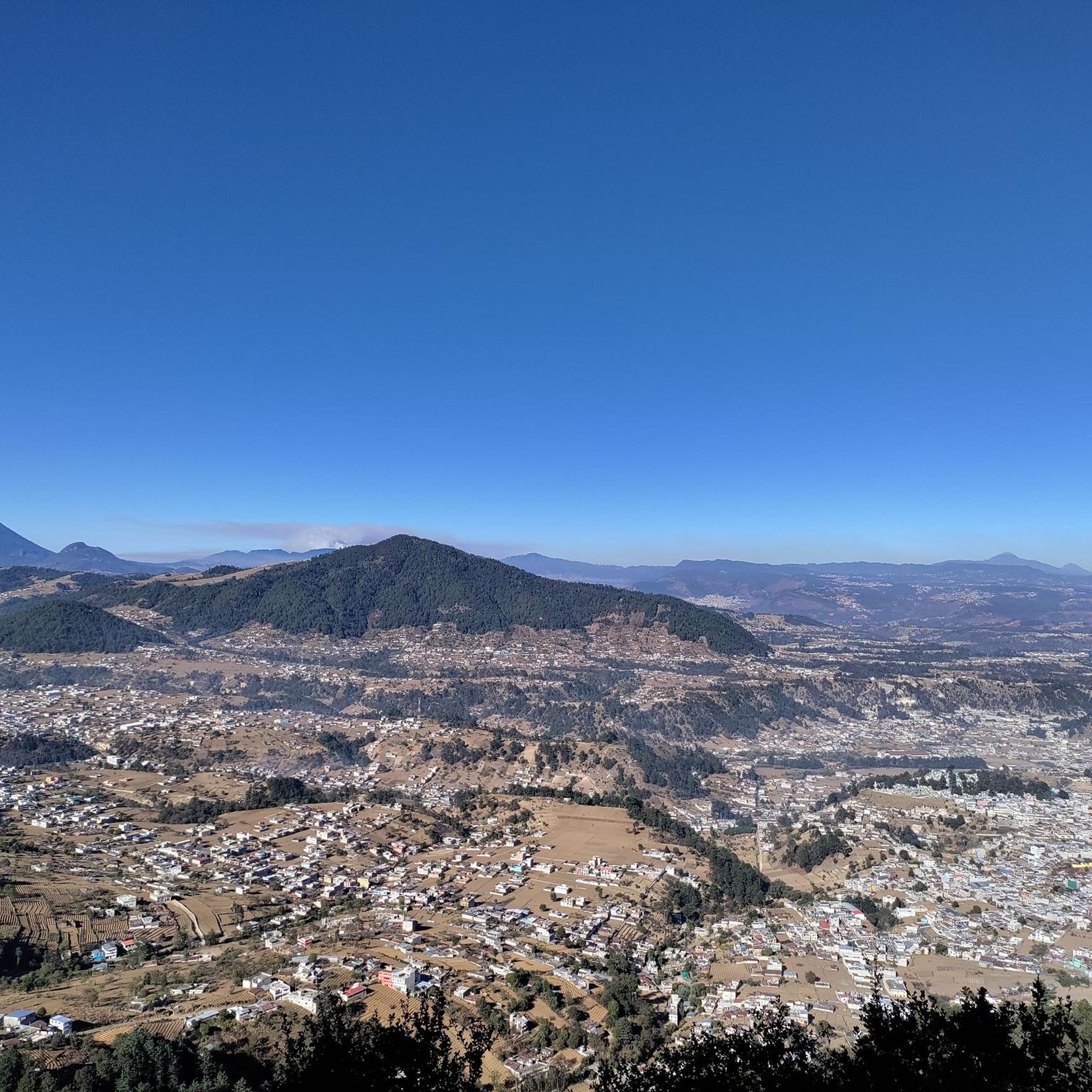
Mountain biking in Totonicapán offers diverse landscapes across its western highlands. The region features mountainous terrain with elevations reaching up to 3,000 meters, characterized by extensive conifer forests. Riders can expect a cool climate and sweeping views, with trails winding through valleys and past distant volcanoes. This area provides a compelling backdrop for mountain biking adventures.
Best mountain bike trails in Totonicapán
- The most popular mountain bike trail is Forest Trail – Trail loop from Quetzaltenango, a 19.9 miles…
Last updated: July 5, 2026
4.8
(13)
28
riders
32.0km
02:48
790m
790m
Moderate mountain bike ride. Good fitness required. Suitable for all skill levels.
4.5
(8)
19
riders
14.5km
01:18
400m
400m
Moderate mountain bike ride. Good fitness required. Advanced riding skills necessary.

Sign up for free
5.0
(1)
11
riders
Moderate mountain bike ride. Good fitness required. Suitable for all skill levels.
5.0
(3)
10
riders
21.6km
01:44
470m
470m
Moderate mountain bike ride. Good fitness required. Suitable for all skill levels.
4.0
(1)
8
riders
13.9km
01:06
300m
300m
Easy mountain bike ride. Great for any fitness level. Suitable for all skill levels.
5.0
(1)
6
riders
27.3km
02:09
640m
640m
Moderate mountain bike ride. Good fitness required. Suitable for all skill levels.
4.3
(9)
7
riders
20.6km
01:49
680m
680m
Moderate mountain bike ride. Good fitness required. Suitable for all skill levels.
5.0
(5)
8
riders
87.7km
06:32
1,610m
1,610m
Hard mountain bike ride. Very good fitness required. Suitable for all skill levels.
4.7
(6)
5
riders
21.4km
01:54
600m
600m
Moderate mountain bike ride. Good fitness required. Suitable for all skill levels.
5
riders
21.9km
01:45
480m
480m
Moderate mountain bike ride. Good fitness required. Suitable for all skill levels.
Get access to more routes and recommendations from other explorers.
Sign up for free
Already have an account?
Our route recommendations are based on thousands of hikes, rides, and runs completed by other people on komoot.
Start today with a free account
Your next adventure awaits.
Login or Signup


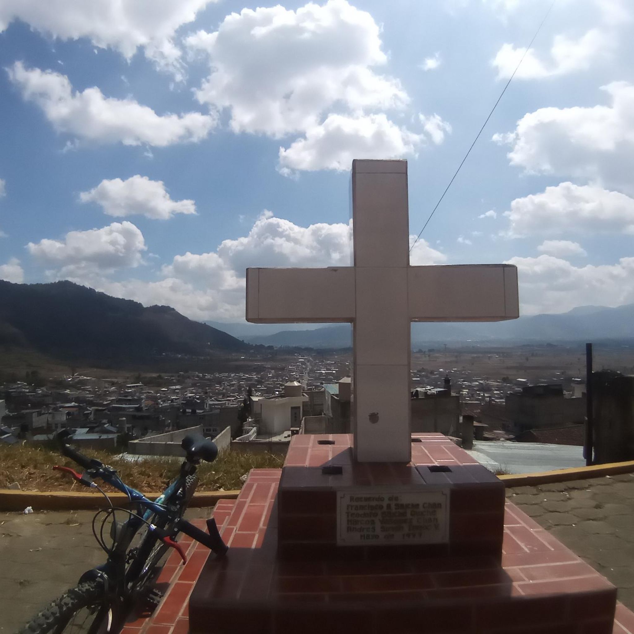
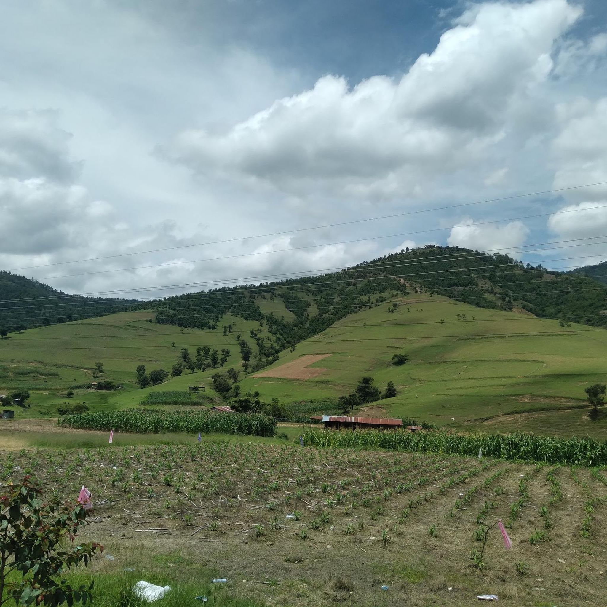
Tips from the Community

sidewalk up !! you have to be a minimum intermediate to complete it !!
0
0
Frequently Asked Questions
What are the typical terrain and difficulty levels of mountain bike trails in Totonicapán?
Totonicapán's mountain bike trails are primarily characterized by highland terrain and extensive conifer forests. You'll find a mix of moderate and challenging routes, with elevations reaching up to 3,000 meters. The region offers a cool climate and sweeping views, with trails winding through valleys and past distant volcanoes. Out of 37 total tours, 25 are rated moderate and 5 are difficult, providing options for various skill levels.
Are there mountain bike trails suitable for beginners in Totonicapán?
Yes, Totonicapán offers several trails suitable for beginners. There are 7 easy-rated mountain bike tours available. An example of an easy route is the Forest Trail loop from Quetzaltenango, which covers 13.9 km with moderate elevation gain, making it a good option for those new to mountain biking in the highlands.
What natural features and landmarks can I expect to see on the trails?
The trails in Totonicapán offer stunning natural beauty, including vast conifer forests, picturesque valleys, and distant volcano views. You might encounter specific landmarks like the El Baúl Monument, which can be seen on routes such as the El Baúl Monument – El Baúl Monument loop from Quetzaltenango. The region is also known for its ecological parks like Caballo Blanco and El Aprisco, which feature diverse flora and fauna.
Are there any trails that feature waterfalls?
Yes, the region has trails that pass by water features. The San Cristóbal Waterfalls Trail – San Andrés Xecul Church loop from Quetzaltenango is a notable route that leads through varied terrain and includes the San Cristóbal Waterfalls, offering a refreshing natural highlight.
When is the best time of year to go mountain biking in Totonicapán?
Totonicapán generally experiences a cool climate due to its high elevation. The dry season, typically from November to May, is often considered the best time for mountain biking as trails are less muddy and weather conditions are more stable. However, the lush conifer forests provide shade, making it enjoyable even during warmer periods.
How many mountain bike trails are available in Totonicapán?
There are 37 mountain bike tours available in Totonicapán on komoot. These routes cater to various skill levels, from easy forest paths to more challenging ascents, ensuring a diverse experience for all riders.
What do other mountain bikers enjoy the most about mountain biking in Totonicapán?
The mountain biking experience in Totonicapán is highly rated by the komoot community, with an average score of 4.7 stars from over 80 reviews. Riders often praise the diverse landscapes, the cool climate provided by the extensive conifer forests, and the sweeping views of valleys and distant volcanoes that many trails offer.
Are there any long-distance or challenging mountain bike routes for experienced riders?
Yes, experienced riders looking for a challenge will find several difficult routes. For example, the El Baúl Monument – San Cristóbal Waterfalls Trail loop from Quetzaltenango is a difficult 89 km route with significant elevation gain, designed for those seeking a more demanding adventure.
Are there any circular mountain bike routes in Totonicapán?
Many of the mountain bike trails in Totonicapán are designed as loops, allowing you to start and end at the same point. Examples include the Forest Trail – Trail loop from Quetzaltenango and the Chuicaxtun Viewpoint loop from Totonicapán, which offer convenient circular options.
Can I bring my dog on the mountain bike trails in Totonicapán?
While specific regulations for dogs on all trails can vary, many natural areas in Totonicapán, particularly communal forests and ecological parks, are generally welcoming to dogs, especially if kept on a leash. It's always recommended to check local signage or park rules for specific trails you plan to ride to ensure a dog-friendly experience.
Are there any family-friendly mountain bike trails in Totonicapán?
For families, the easier-rated trails are the best option. The region's ecological parks, such as El Aprisco Ecological Trails, offer well-maintained paths through forests that are suitable for less experienced riders and children. Look for routes rated as 'easy' on komoot for the most family-friendly options.
How can I get to the mountain bike trailheads in Totonicapán?
Access to trailheads in Totonicapán often involves a combination of private vehicle and local transport. Many routes start from towns like Quetzaltenango or Totonicapán itself. While specific public transport details to every trailhead might vary, local buses (chicken buses) are a common way to travel between towns in the region, and you may need to arrange for a local taxi or shuttle for the final stretch to more remote starting points.
Is parking available at the mountain bike trailheads?
Parking availability can vary depending on the specific trailhead. In more established ecological parks like Caballo Blanco or El Aprisco, designated parking areas are usually available. For routes starting from towns or more remote forest access points, you might find informal parking spots or need to inquire locally about safe places to leave your vehicle.
Are there any viewpoints offering panoramic vistas along the trails?
Yes, many trails in Totonicapán are known for their sweeping views. Routes like the View to the West loop from San Cristóbal Totonicapán and the Las Cuevas Viewpoint loop from Totonicapán are specifically designed to showcase the region's dramatic landscapes, including distant volcanoes and valleys.
Most popular routes in Totonicapán

Get inspired with the komoot mobile app


Didn’t find what you were looking for?
Check out more MTB trails throughout Totonicapán below and find the perfect route in your destination.
Explore more
Browse the best MTB trails in other regions.
