The best cycling routes around Burglengenfeld
4.6
(619)
4,011
riders
137
rides
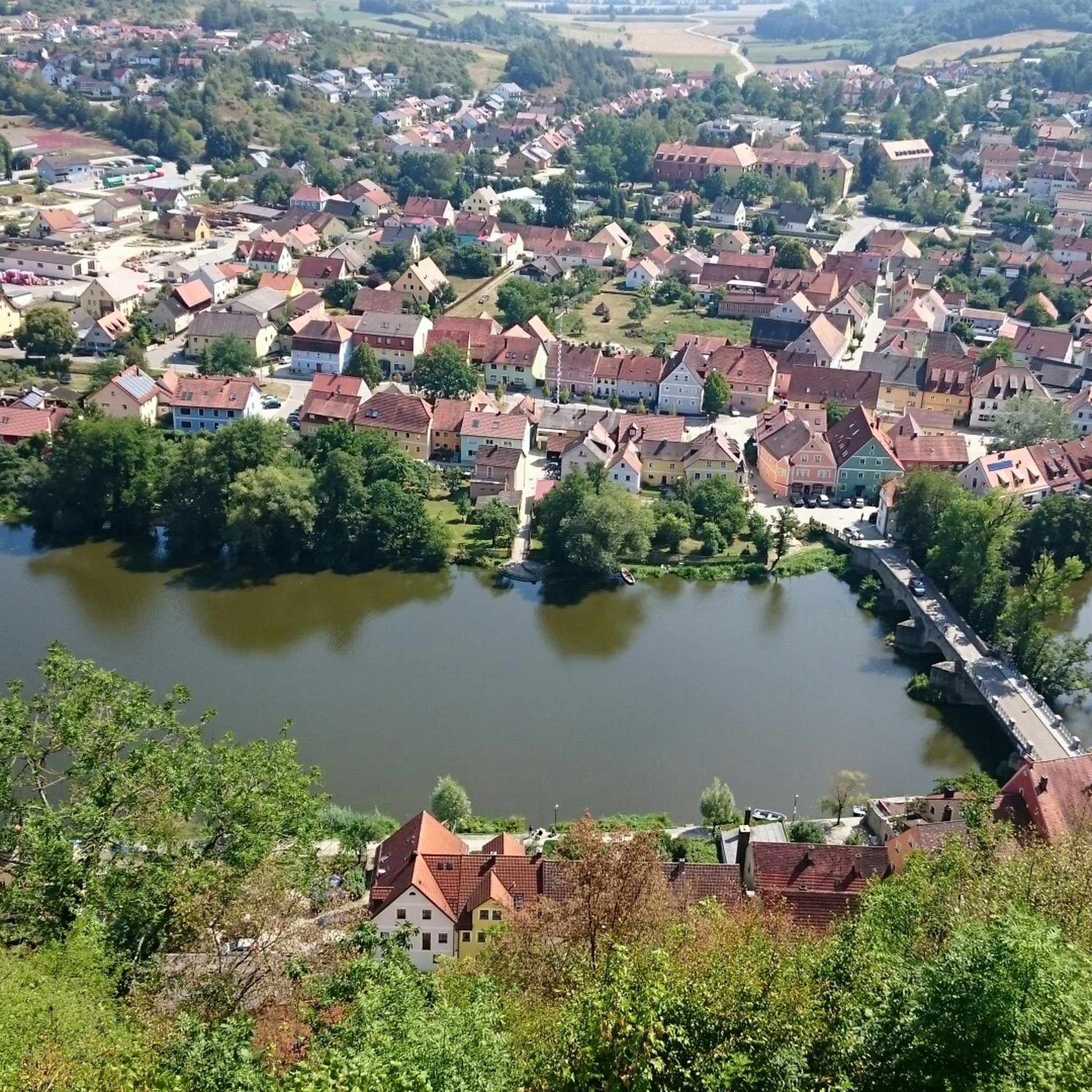
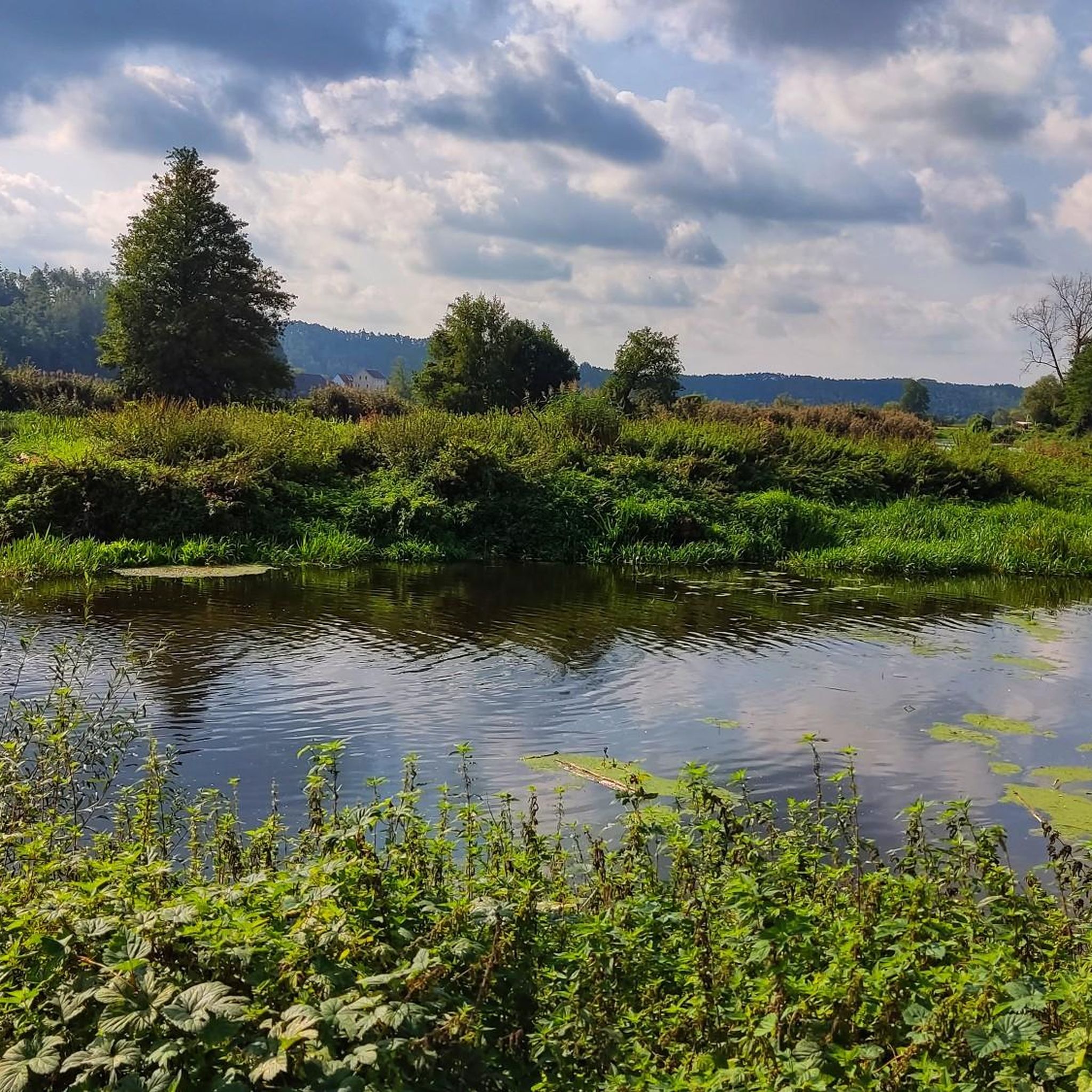
Touring cycling routes around Burglengenfeld are characterized by diverse landscapes, including serene river valleys, rolling hills, and dense forests. The region is situated along the Naab River, offering numerous flat, riverside paths, and also features the Vils River with its own network of trails. Proximity to the Bavarian Jura introduces varied terrain with significant elevation gains. Extensive forest areas further contribute to the varied natural features for cycling.
Best touring cycling routes around Burglengenfeld
- The most popular touring cycling route is Lauterachtal Cycle Path – Forellenbach Bridges loop from Lanzenried, a 48.0 miles (77.3 km) trail that takes 4 hours 55 minutes to complete. This difficult route offers a challenging experience through varied landscapes.
- Another top favourite among local touring cyclists is Kallmünz and the Vils Valley – House without a Roof (Kallmünz) loop from Burglengenfeld, a moderate 20.0 miles (32.2 km) path. This route explores the Vils Valley and passes through the historic town of Kallmünz.
- Local touring cyclists also love the View of the Naab – View of Schwandorf loop from Burglengenfeld, a 25.3 miles (40.7 km) trail leading through the Naab River valley, often completed in about 2 hours 25 minutes.
- Touring cycling around Burglengenfeld is defined by scenic river valleys, rolling hills of the Bavarian Jura, and extensive forest paths. The network offers options for different ability levels.
- The routes in Burglengenfeld are highly rated by the komoot community with an average score of 4.5 stars from over 500 reviews. More than 3,700 touring cyclists have used komoot to explore Burglengenfeld's varied terrain.
Last updated: June 27, 2026
4.7
(77)
273
riders
77.3km
04:56
790m
790m
Hard bike ride. Very good fitness required. Mostly paved surfaces. Suitable for all skill levels.
4.8
(45)
331
riders
Moderate bike ride. Good fitness required. Mostly paved surfaces. Suitable for all skill levels.

Sign up for free
4.2
(31)
213
riders
Moderate bike ride. Good fitness required. Mostly paved surfaces. Suitable for all skill levels.
5.0
(1)
97
riders
40.6km
03:33
800m
800m
Hard bike ride. Very good fitness required. You may need to push your bike for some segments of this route.
4.5
(4)
72
riders
Hard bike ride. Very good fitness required. You may need to push your bike for some segments of this route.
Get access to more routes and recommendations from other explorers.
Sign up for free
Already have an account?
Our route recommendations are based on thousands of hikes, rides, and runs completed by other people on komoot.
Start today with a free account
Your next adventure awaits.
Login or Signup


Tips from the Community

It already looks impressive when you pass by.
0
0

Great view from the summit of Münchshofer Berg
0
0

nice to ride on the old railway line
0
0

Beautiful section between Marienthal ferry and the crossing!
0
0

The pictures are from the town hall in Burglengenfeld.
0
1


Velburg is really a beautiful area. A visit there is definitely worth it.
1
0

Very nice cycle path
0
0
Frequently Asked Questions
How many touring cycling routes are available around Burglengenfeld?
There are over 140 touring cycling routes around Burglengenfeld, offering a wide variety of options for different skill levels and preferences. These include routes along serene river valleys, through rolling hills, and dense forests.
What kind of terrain can I expect when touring cycling near Burglengenfeld?
The terrain around Burglengenfeld is quite diverse. You'll find many flat, scenic paths along the Naab and Vils rivers, perfect for relaxed rides. For those seeking more challenge, the proximity to the Bavarian Jura offers routes with significant elevation gains and rolling hills. The area also features extensive forest paths, providing shaded and tranquil cycling experiences.
What do other cyclists say about touring cycling in Burglengenfeld?
The touring cycling routes in Burglengenfeld are highly rated by the komoot community, with an average score of 4.5 stars from over 570 reviews. More than 3,700 touring cyclists have used komoot to explore the varied terrain, often praising the scenic river paths and the diverse landscapes.
Are there easy, family-friendly touring cycling routes in Burglengenfeld?
Yes, Burglengenfeld offers several easy and family-friendly touring cycling routes, particularly along the Naab and Vils rivers. These paths are largely flat and follow the natural course of the rivers, making them suitable for all ages. The Naabtal Cycle Path, for instance, is known for its gentle gradients and scenic riverside sections.
Are there challenging touring cycling routes for experienced riders in Burglengenfeld?
Absolutely. For experienced riders seeking a challenge, the region's proximity to the Bavarian Jura provides routes with significant elevation gains. One such route is the Lauterachtal Cycle Path – Forellenbach Bridges loop from Lanzenried, which is classified as difficult and features over 790 meters of elevation gain over 77 kilometers.
What natural features can I explore on a touring bike around Burglengenfeld?
You can explore a rich variety of natural features. The Naab and Vils river valleys offer picturesque riverside paths. The region also boasts rolling hills of the Bavarian Jura and dense forests, providing diverse scenery. Nearby lakes like Lake Steinberg are also popular cycling destinations, with paths around their perimeters.
Are there any circular touring cycling routes in the area?
Yes, many touring cycling routes around Burglengenfeld are designed as loops. For example, the Kallmünz and the Vils Valley – House without a Roof (Kallmünz) loop from Burglengenfeld is a moderate 32-kilometer circular path. Another option is the Lake Steinberg – Lake Steinberger loop from Burglengenfeld, which takes you around the lake.
What historical landmarks or attractions can I see along the touring cycling routes?
The region is rich in historical sites. Along your rides, you can encounter places like the historic town of Kallmünz, often called an 'artist's village,' with its castle ruins and unique cave dwellings. You might also pass by castles such as Oberes Schloss Schmidmühlen (Town Hall) or Stockenfels Castle Ruins. Burglengenfeld itself has a well-preserved historic old town and Burglengenfeld Castle.
Are there long-distance touring cycling routes accessible from Burglengenfeld?
Burglengenfeld is a hub for several significant long-distance cycling routes. The Naabtal Cycle Path, approximately 97 kilometers long, follows the Naab River. Additionally, Burglengenfeld is part of the 300-kilometer Five Rivers Cycle Route, which offers a varied experience through Bavaria, encompassing the Danube, Altmühl, Pegnitz, Vils, and Naab rivers.
When is the best time of year to go touring cycling in Burglengenfeld?
The best time for touring cycling in Burglengenfeld is typically during spring and autumn. During these seasons, the weather is generally pleasant, and the foliage in the forests and along the river valleys is particularly vibrant, offering beautiful scenic rides. Summer can also be enjoyable, especially on shaded forest paths.
Can I find places to eat or stay near the cycling routes?
Yes, the region offers various options for refreshments and accommodation. Towns and villages along the Naab and Vils rivers, such as Kallmünz and Burglengenfeld, have cafes, pubs, and restaurants. You'll also find accommodation options ranging from guesthouses to hotels, particularly in the larger towns, making it convenient for multi-day tours.
Are there any routes that pass by lakes or offer water sports activities?
Yes, routes like the Lake Steinberg – Lake Steinberger loop from Burglengenfeld take you directly to Lake Steinberg. This lake is a popular recreational spot where you can find opportunities for water sports, including wakeboarding and waterskiing at places like Wild Wake Park.
Most popular routes around Burglengenfeld
Most popular attractions around Burglengenfeld

Get inspired with the komoot mobile app


Explore more
Browse the best Cycling routes in other regions.
