The best walks and hikes around Grüningen
4.6
(52)
361
hikers
23
hikes
Hiking around Grüningen, located in the Zurich Oberland region of Switzerland, offers diverse landscapes for outdoor enthusiasts. The area features pre-alpine terrain, including the scenic Lützelsee and Giessenweiher ponds, alongside varied woodlands and open fields. This region provides an extensive network of trails suitable for different skill levels, characterized by gentle elevations and natural beauty.
Best hiking trails around Grüningen
- The most popular hiking route is View of Lutikerried – Lutikon Hamlet loop from Grüningen, a 4.6 miles (7.5 km) trail that takes about 2 hours to complete. This easy route offers views of the surrounding natural areas.
- Another top favourite among local hikers is Frog Pond – Töbeliweiher loop from Grüningen, an easy 3.8 miles (6.1 km) path. This trail leads through areas featuring ponds and natural habitats, typically completed in about 1 hour 40 minutes.
- Local hikers also love the View of Lutikerried – Töbeliweiher loop from Grüningen, a 8.6 miles (13.8 km) trail leading through varied terrain near the Lützelsee, often completed in about 3 hours 45 minutes.
- Hiking around Grüningen is defined by pre-alpine landscapes, the Lützelsee, and diverse woodlands. The network offers options for different ability levels, from easy family-friendly walks to more moderate excursions.
- The routes in Grüningen are highly rated by the komoot community with an average score of 4.5 stars from over 40 reviews. More than 350 hikers have used komoot to explore Grüningen's varied terrain.
Last updated: June 27, 2026
4.4
(20)
79
hikers
9.32km
02:31
120m
120m
Moderate hike. Good fitness required. Easily-accessible paths. Suitable for all skill levels.
5.0
(1)
41
hikers
7.48km
02:00
80m
80m
Easy hike. Great for any fitness level. Easily-accessible paths. Suitable for all skill levels.

Sign up for free
3.0
(1)
6
hikers
6.09km
01:38
80m
70m
Easy hike. Great for any fitness level. Easily-accessible paths. Suitable for all skill levels.
4.0
(1)
14
hikers
8.38km
02:15
100m
100m
Moderate hike. Good fitness required. Easily-accessible paths. Suitable for all skill levels.
4.5
(2)
12
hikers
13.8km
03:43
160m
160m
Moderate hike. Good fitness required. Easily-accessible paths. Suitable for all skill levels.
Get access to more routes and recommendations from other explorers.
Sign up for free
Already have an account?
Our route recommendations are based on thousands of hikes, rides, and runs completed by other people on komoot.
Start today with a free account
Your next adventure awaits.
Login or Signup
Tips from the Community

No matter which side you come from, it's a steep descent first, followed by a steep climb. It's nice to have the small pond in all its splendor. It's worth the effort.
0
0

Very nice little pool and the catering is run with love. Delicious, homemade things in addition to the ready-made things
0
0

From May to September, the Lützelsee hosts a bathing area with drinks and food for sale. The perfect place to relax after a nice walk.
0
0

The Giessenweiher is located in the eastern municipality of Grüningen in the canton of Zurich. It is located between Reitbacher Ried and Itziker Riet at 500 meters above sea level. It is fed by the Mönchaltorfer Aa (also called Alaubach here) and drained in the same way. A hiking trail that leads from Bubikon to Grüningen passes the Giessenweiher. There is a barbecue area at the pond. Source: https://www.schweizersee.ch/giessenweiher/
0
0


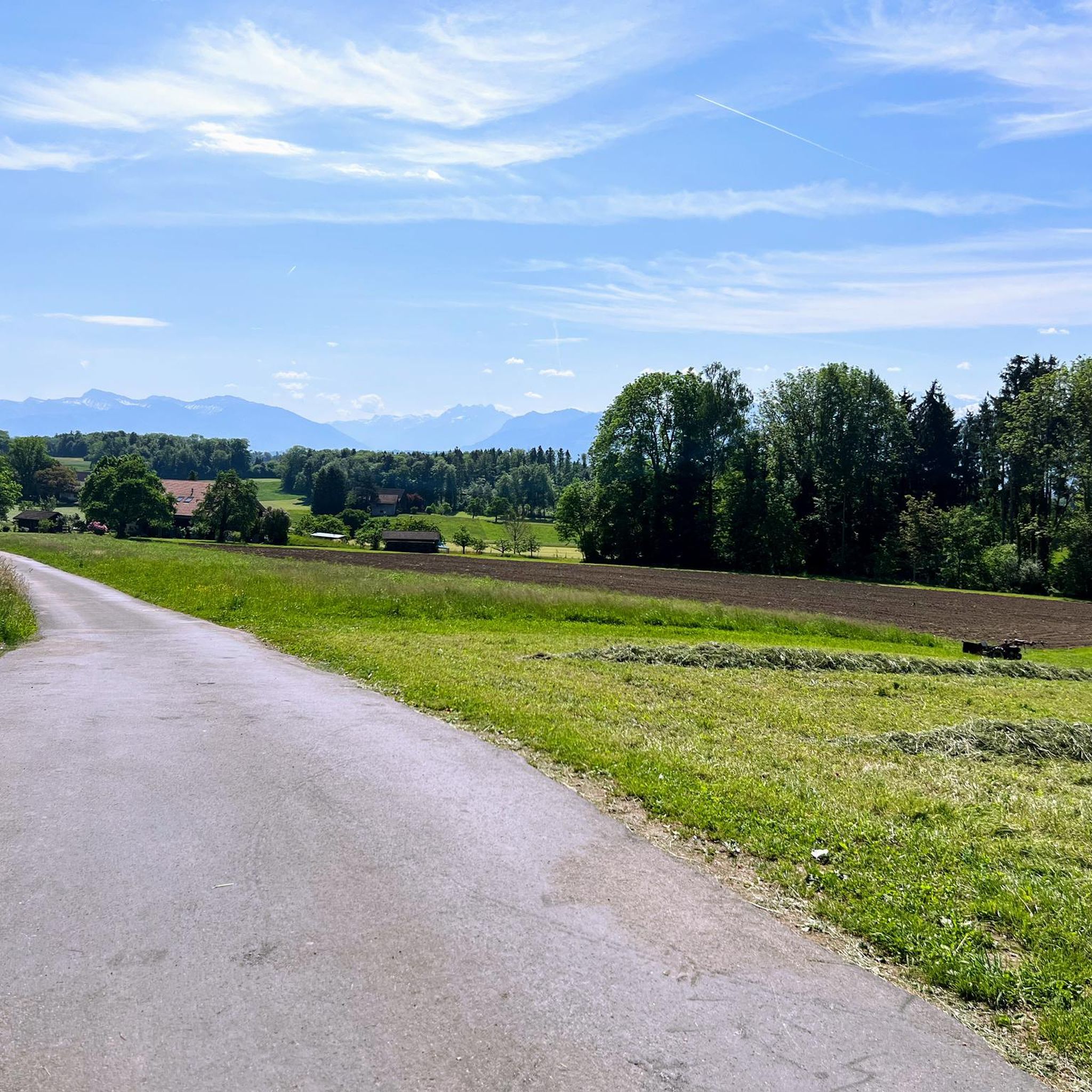
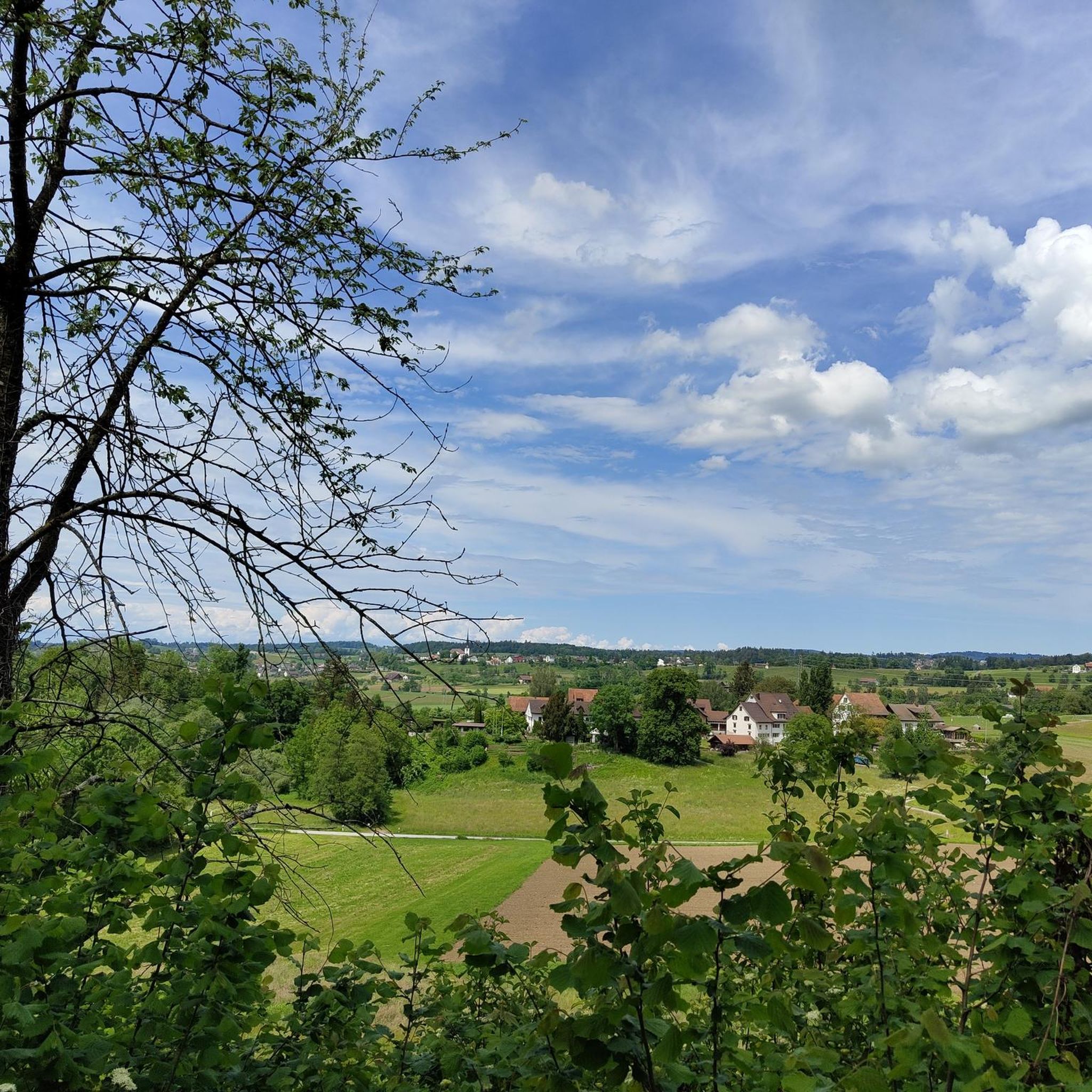
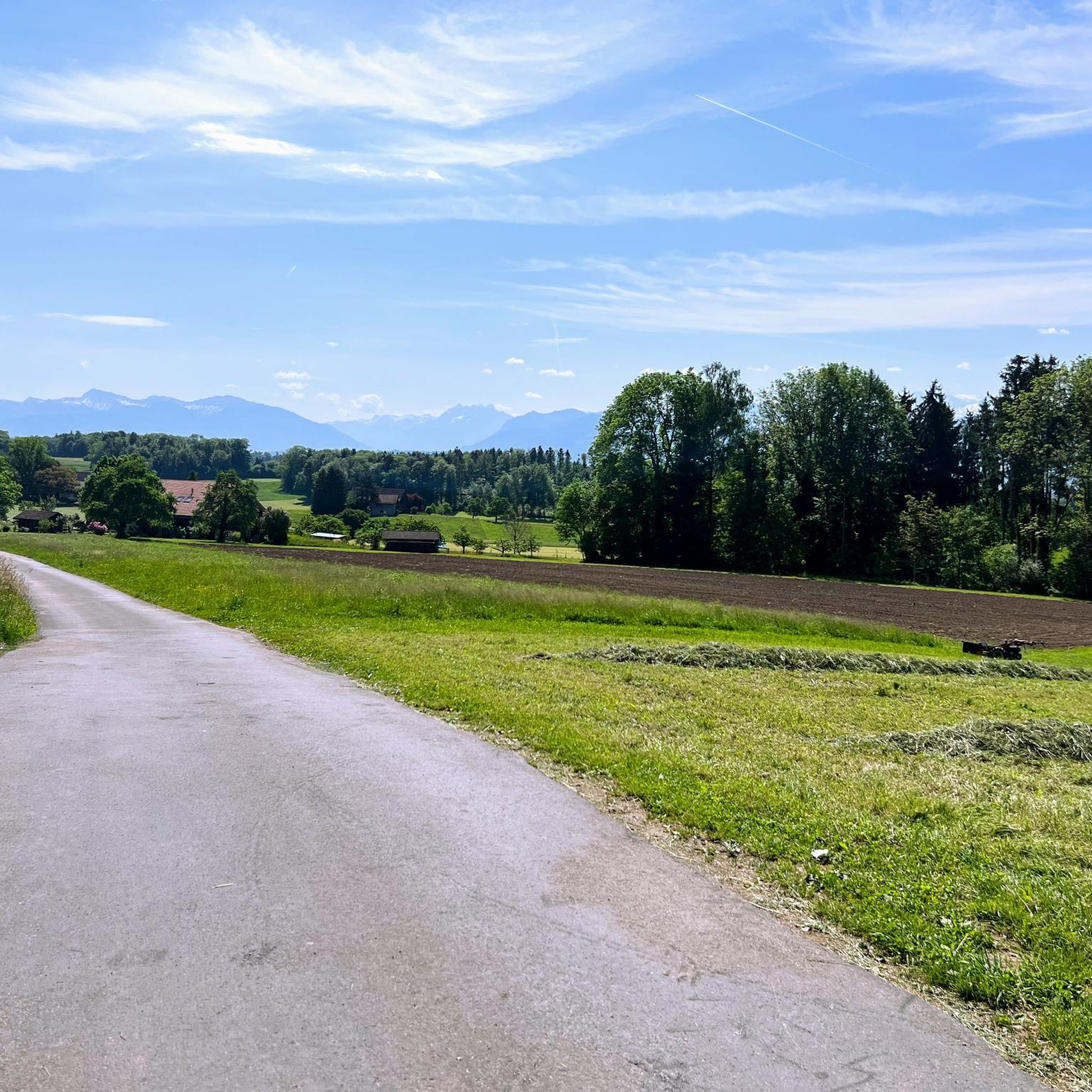
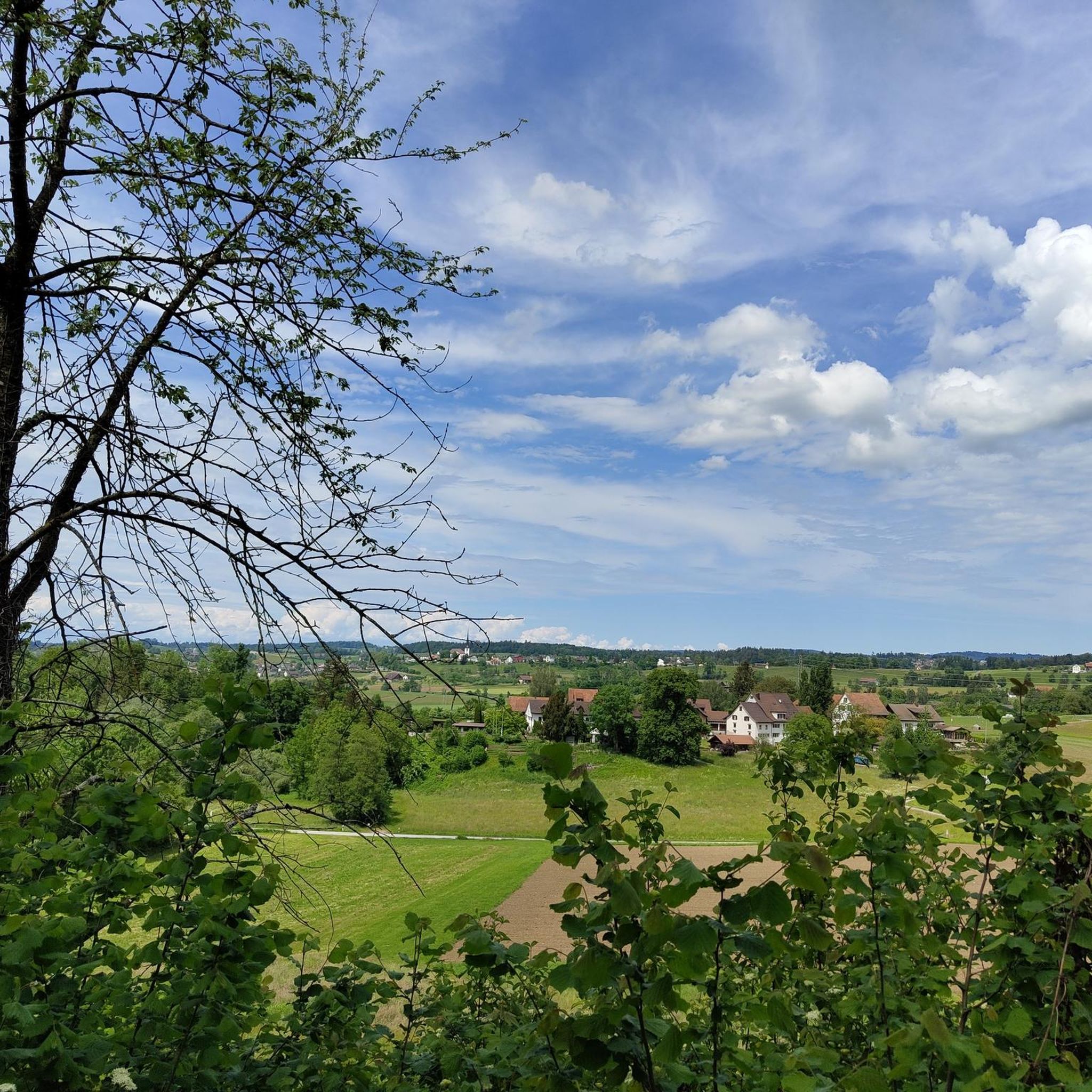
As Kitty already wrote, you can only just see the lake from here. But you can overlook the beautiful Luikerried.
1
0
Very nice barbecue area with several fireplaces, table sets, benches, great views and a toilet.
2
0
Frequently Asked Questions
What kind of terrain can I expect on hikes around Grüningen?
Hikes around Grüningen feature diverse pre-alpine landscapes, including varied woodlands, open fields, and gentle elevations. You'll encounter scenic areas around lakes like the Lützelsee and Giessenweiher, offering a mix of natural beauty.
Are there easy hiking options suitable for beginners or families in Grüningen?
Yes, Grüningen offers many easy hiking options perfect for beginners and families. For instance, the Frog Pond loop from Grüningen is a short, easy route. The region also features the Grüningen Children's Route, designed to introduce visitors to local flora and fauna in a playful way.
Can I find more challenging hikes near Grüningen?
While many routes are easy to moderate, you can find more extended and moderately challenging options. The View of Lutikerried – Töbeliweiher loop from Grüningen is a moderate 8.6-mile trail. For more elevation, the broader Zurich Oberland region, including areas like Pfannenstiel, offers trails with more significant climbs and rewarding views.
Are there any lakes or water features to see on hikes in Grüningen?
Absolutely. The Lützelsee is a prominent natural highlight, known for its scenic beauty and as a nesting ground for storks. Several routes, like the View of Lutikerried – Lutikon Hamlet loop from Grüningen, offer views of this area. The Giessenweiher pond is another pleasant spot, often found along trails connecting to places like Bubikon.
Are there any waterfalls to discover around Grüningen?
Yes, the Grüningen area is home to some beautiful waterfalls. You can explore the Sagenraintobel Waterfalls and the Wissengubel Waterfall, which are notable natural monuments in the vicinity.
What viewpoints offer the best panoramic views in the Grüningen area?
Many trails in and around Grüningen offer stunning vistas, including distant views of the Alps. For exceptional panoramic views, consider visiting the Bachtel Tower, located on the elevated Pfannenstiel area, which provides expansive outlooks over the Zurich Oberland.
Are there circular hiking routes available in Grüningen?
Yes, Grüningen has several popular circular routes. Examples include the Frog Pond – Töbeliweiher loop from Grüningen, an easy 3.8-mile path, and the Hiking loop from Grüningen, which is 3.9 miles long.
Is Grüningen a dog-friendly hiking destination?
Grüningen is generally dog-friendly, with many trails suitable for walks with your canine companion. The region's natural trails through woodlands and open fields provide ample space for dogs. Always ensure your dog is under control and check for any specific local leash regulations, especially near nature reserves or agricultural areas.
What is the best time of year to go hiking in Grüningen?
The best time for hiking in Grüningen is typically from spring through autumn, when the weather is mild and the landscapes are vibrant. Spring brings blooming flora, while autumn offers beautiful fall colors. While winter hikes are possible, some trails might be icy or muddy, so appropriate gear is essential.
Are there cultural or historical sites to visit near the hiking trails?
Yes, you can combine your hike with a visit to cultural sites. The impressive Ritterhaus in Bubikon, a historical commandery, is located near some of the hiking routes and adds a cultural element to your outdoor excursion.
What are the parking options for hikers in Grüningen?
Grüningen offers various parking options for hikers, particularly near trailheads and in the village center. Specific parking availability can vary by starting point, so it's advisable to check local signage or use navigation apps for designated parking areas when planning your route.
Can I reach Grüningen's hiking trails using public transport?
Grüningen is well-connected by public transport within the Zurich Oberland region, making it accessible for hikers. You can reach Grüningen by bus, which connects to larger train stations. This allows you to start and end your hikes conveniently without needing a car.
What do other hikers enjoy most about hiking in Grüningen?
The area is highly rated by the komoot community, with an average score of 4.5 stars from over 40 reviews. Reviewers often praise the diverse landscapes, the tranquility of the woodlands, and the well-maintained trails that cater to various fitness levels, especially the scenic routes around the Lützelsee.
Most popular routes around Grüningen
Most popular attractions around Grüningen

Get inspired with the komoot mobile app


Explore more
Browse the best Hikes in other regions.
