The best road cycling routes around Grünenplan
4.5
(306)
1,485
riders
117
rides
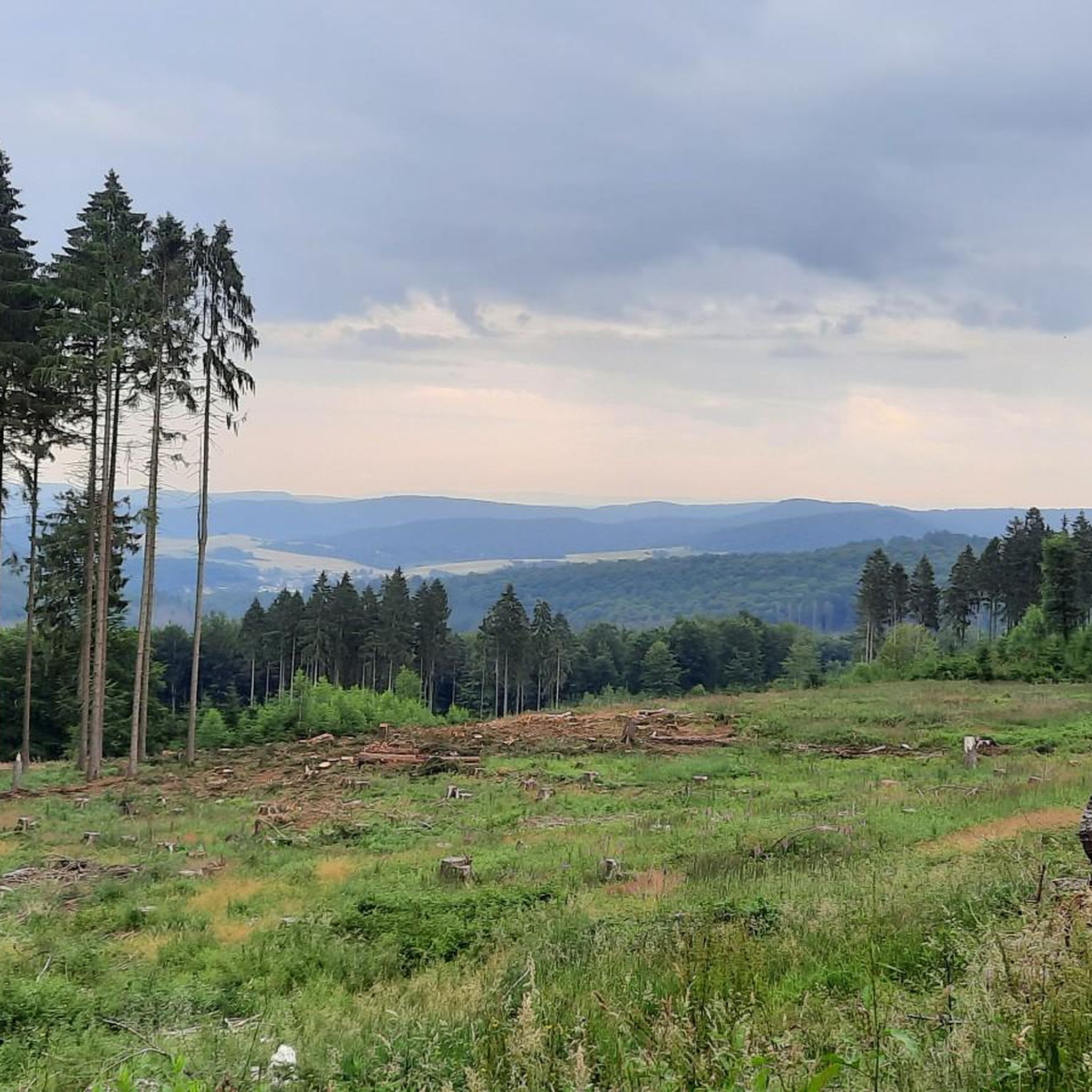
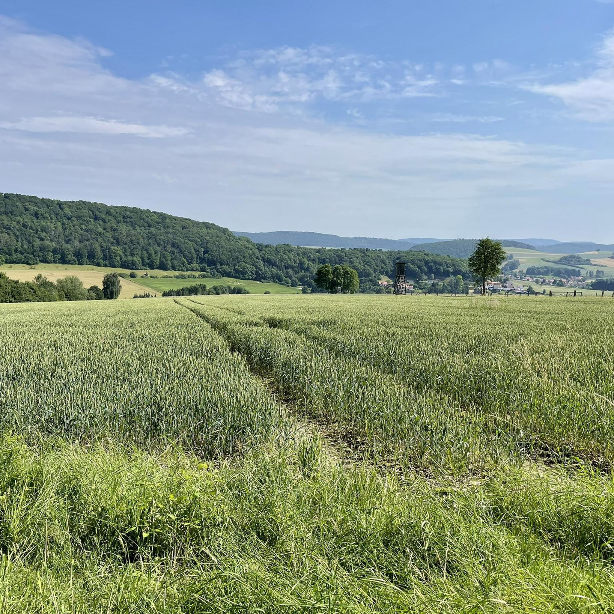
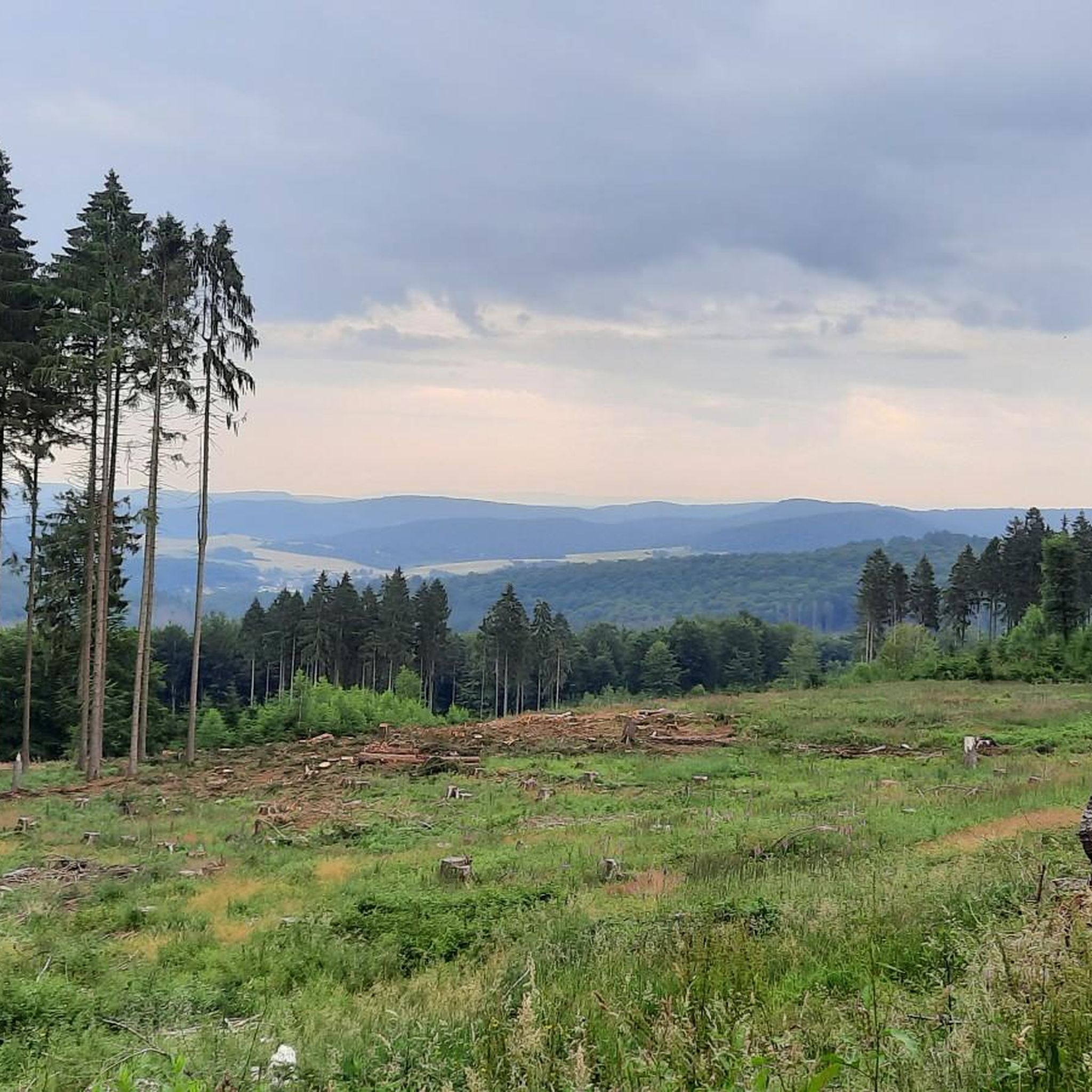
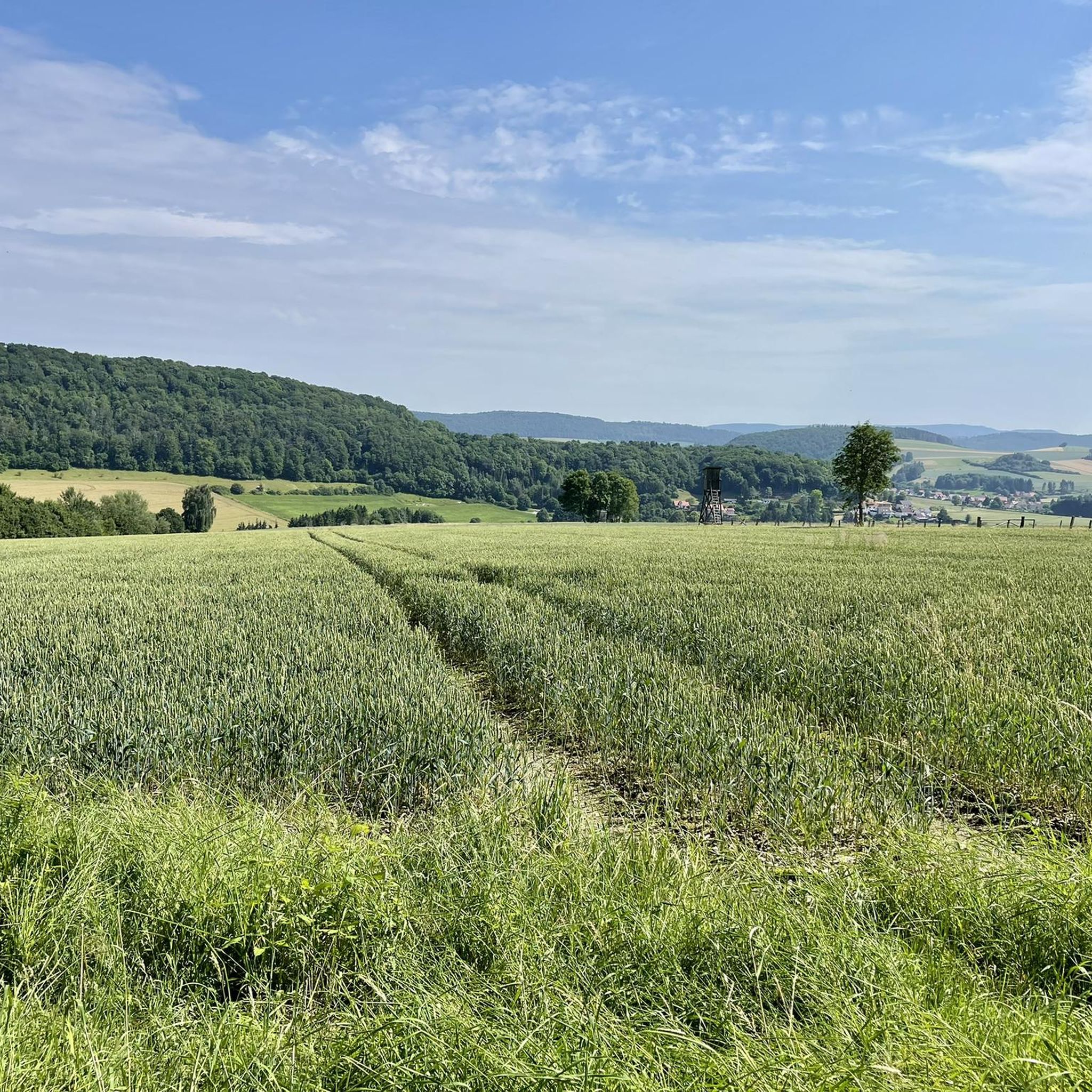
Road cycling routes around Grünenplan are characterized by rolling hills and varied terrain, situated within the broader Weserbergland region. The area features numerous ascents and descents, providing diverse challenges for road cyclists. Well-developed roads allow for efficient rides through picturesque landscapes, including the Hils and Ith ridges.
Best road cycling routes around Grünenplan
- The most popular road cycling route is Descent With View of Alfeld – Leinewiesen Cycle Path loop from Delligsen, a 30.2 miles (48.7 km) trail that…
Last updated: July 8, 2026
4.4
(14)
43
riders
48.7km
02:13
340m
340m
Moderate road ride. Good fitness required. Mostly well-paved surfaces and easy to ride.
3.9
(14)
46
riders
Moderate road ride. Great for any fitness level. Some segments of this route may be unpaved and difficult to ride.

Sign up for free
5.0
(11)
35
riders
Moderate road ride. Great for any fitness level. Some segments of this route may be unpaved and difficult to ride.
5.0
(2)
19
riders
Moderate road ride. Great for any fitness level. Some segments of this route may be unpaved and difficult to ride.
16
riders
42.6km
02:06
500m
500m
Moderate road ride. Good fitness required. Mostly well-paved surfaces and easy to ride.
Get access to more routes and recommendations from other explorers.
Sign up for free
Already have an account?
Our route recommendations are based on thousands of hikes, rides, and runs completed by other people on komoot.
Start today with a free account
Your next adventure awaits.
Login or Signup
Tips from the Community

The rapid appears relatively wide here. The weir makes it look a bit like a waterfall.
9
0

The St. Jakobi Church was built in 1738.
0
0

Here you have a wonderful view of the Leine. The Leine is a 280 km long, southern and orographically left tributary of the Aller, which also flows here in Alfeld.
2
0
This lion sculpture is definitely remarkable. You can find more works of this kind in the town.
8
0

We really enjoyed the discovery tour. I learned a lot today!
1
0

Great museum, worth a visit. Unfortunately, it's not always open.
0
0

A must for Bauhaus fans, very well preserved and still in its original function.
1
0
Update. In the 90° bend before the bridge towards Wettensen and in the area of the southern access road there is a lot of gravel on the road.
0
0
Frequently Asked Questions
How many road cycling routes are available around Grünenplan?
Grünenplan offers a wide selection of road cycling routes, with over 120 tours available. These routes cater to various skill levels, including 19 easy, 91 moderate, and 12 difficult options.
What is the terrain like for road cycling in Grünenplan?
The region around Grünenplan is characterized by rolling hills and varied terrain, situated within the broader Weserbergland. Cyclists can expect numerous ascents and descents, providing diverse challenges. The area includes routes along the scenic Hils and Ith ridges, offering both demanding climbs and picturesque stretches.
What do other road cyclists enjoy most about the routes in Grünenplan?
The road cycling routes in Grünenplan are highly rated by the komoot community, with an average score of 4.5 stars from over 300 reviews. Cyclists often praise the well-developed roads, the varied terrain, and the beautiful landscapes of the Weserbergland, Hils, and Ith ridges.
Are there challenging routes for experienced road cyclists?
Yes, Grünenplan offers challenging routes for advanced cyclists. The region's hilly terrain, with its numerous ascents and descents, provides ample opportunity to test your fitness. For example, the area features routes with winding pass roads and steep climbs, such as those leading to the Wilhelm-Raabe-Turm, which are ideal for those seeking a demanding ride.
Are there any scenic viewpoints along the road cycling routes?
Absolutely. The Grünenplan area is rich in viewpoints. You can find routes that pass by or offer access to stunning vistas. Notable viewpoints include the Ebersnacken Tower within the Solling-Vogler Nature Park, and the Ernst-Binnewies Tower (Tafelbergturm) on Hohe Tafel. The Wilhelm-Raabe-Turm on the Großer Sohl in the Hils also provides panoramic views extending to the Brocken on clear days.
What is the best time of year for road cycling in Grünenplan?
The region is generally enjoyable for road cycling throughout the warmer months. Spring and autumn offer pleasant temperatures and beautiful scenery, with vibrant foliage in the fall. Summer is also suitable, though it's advisable to start earlier in the day to avoid the midday heat on longer rides.
Are there circular road cycling routes available?
Yes, many of the road cycling routes around Grünenplan are designed as loops, allowing you to start and finish at the same point. For instance, the Descent With View of Alfeld – Leinewiesen Cycle Path loop from Delligsen is a popular circular option, offering views towards Alfeld and following the Leinewiesen Cycle Path.
What are some interesting landmarks or natural features to explore near the routes?
Beyond the cycling, the region offers several attractions. You can explore the Homburg Castle Ruins, or visit natural features like the Hils and Ith ridges. The Bloße Zelle (480 m) is the highest point in the Hils. For a unique experience, the Rothesteinhöhle and Lippoldshöhle caves are also nearby, though the Rothesteinhöhle is accessible seasonally.
Are there any family-friendly road cycling routes in Grünenplan?
While many routes involve rolling hills, there are easier options suitable for families. The region offers 19 easy routes, which tend to have less elevation gain and are shorter in distance. These routes often traverse picturesque villages and flatter sections of the Weserbergland, providing a more relaxed cycling experience.
Can I find places to stop for refreshments or accommodation along the routes?
Yes, the Grünenplan area and surrounding villages offer various opportunities for refreshment and accommodation. You'll find cafes and pubs in the towns and villages along many routes. For example, the Leinebergland Balcony and Reuber Hut are examples of places where you might find a stop for a break.
What is the typical length of road cycling routes in Grünenplan?
The road cycling routes in Grünenplan vary significantly in length. You can find shorter loops, such as the Leine bridge Wettensen – The Seven Hills (Sieben Berge) loop from Brunkensen, which is about 16.6 miles (26.7 km). Longer routes, like the Adenstedt Pass – Alfeld climb loop from Fagus-Werk, can extend to over 26.8 miles (43.2 km), offering options for different time commitments and fitness levels.
Is public transport available to access road cycling routes in Grünenplan?
Grünenplan is situated in Lower Saxony, and while local bus services connect some villages, direct public transport access specifically for road cycling routes can be limited. It's advisable to check local bus schedules and routes in advance if you plan to use public transport to reach a starting point.
Most popular attractions around Grünenplan

Get inspired with the komoot mobile app


Explore more
Browse the best Road cycling routes in other regions.
