The best walks and hikes around Groß Stieten
4.5
(1717)
7,937
hikers
322
hikes
Hiking around Groß Stieten offers a network of trails primarily characterized by flat terrain and proximity to water features. The region features the historic Wallensteingraben canal and Lostener Lake, providing varied landscapes for outdoor activities. Elevation changes are generally minimal, making many routes accessible. The area is situated in Mecklenburg-Vorpommern, known for its gentle topography and natural waterways.
Best hiking trails around Groß Stieten
- The most popular hiking route is Lostener Lake – Wallensteingraben loop from Moidentin, an easy…
Last updated: July 8, 2026
4.5
(12)
45
hikers
5.38km
01:23
20m
20m
Easy hike. Great for any fitness level. Easily-accessible paths. Suitable for all skill levels.
5.0
(2)
6
hikers
Moderate hike. Good fitness required. Easily-accessible paths. Suitable for all skill levels.

Sign up for free
5.0
(2)
16
hikers
Easy hike. Great for any fitness level. Easily-accessible paths. Suitable for all skill levels.
4.2
(5)
14
hikers
23.5km
06:03
110m
110m
Hard hike. Very good fitness required. Easily-accessible paths. Suitable for all skill levels.
4.5
(2)
6
hikers
Moderate hike. Good fitness required. Easily-accessible paths. Suitable for all skill levels.
Get access to more routes and recommendations from other explorers.
Sign up for free
Already have an account?
Our route recommendations are based on thousands of hikes, rides, and runs completed by other people on komoot.
Start today with a free account
Your next adventure awaits.
Login or Signup
Tips from the Community

The church in Dorf Mecklenburg is one of the region's most striking historical monuments, reflecting religious, social, and political developments over many centuries. The village of Dorf Mecklenburg is located in northwestern Mecklenburg, an area with a long Christian tradition that was closely linked to the development of small German towns and aristocratic rule in the Middle Ages. Current Significance: Modern churches in rural regions like Dorf Mecklenburg combine historical heritage with contemporary community work. They face tasks such as maintaining buildings, preserving art treasures, adapting to new religious movements, and integrating them into local educational and cultural programs. The history of the village church thus remains not merely an archival history, but a living source of the region's cultural memory.
0
0

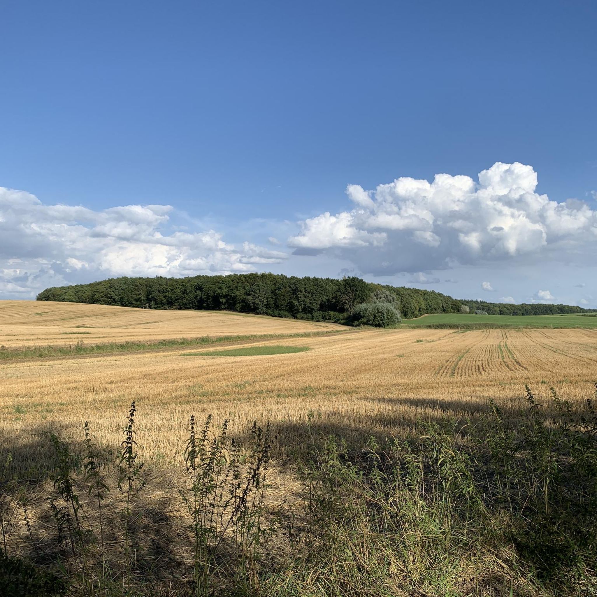
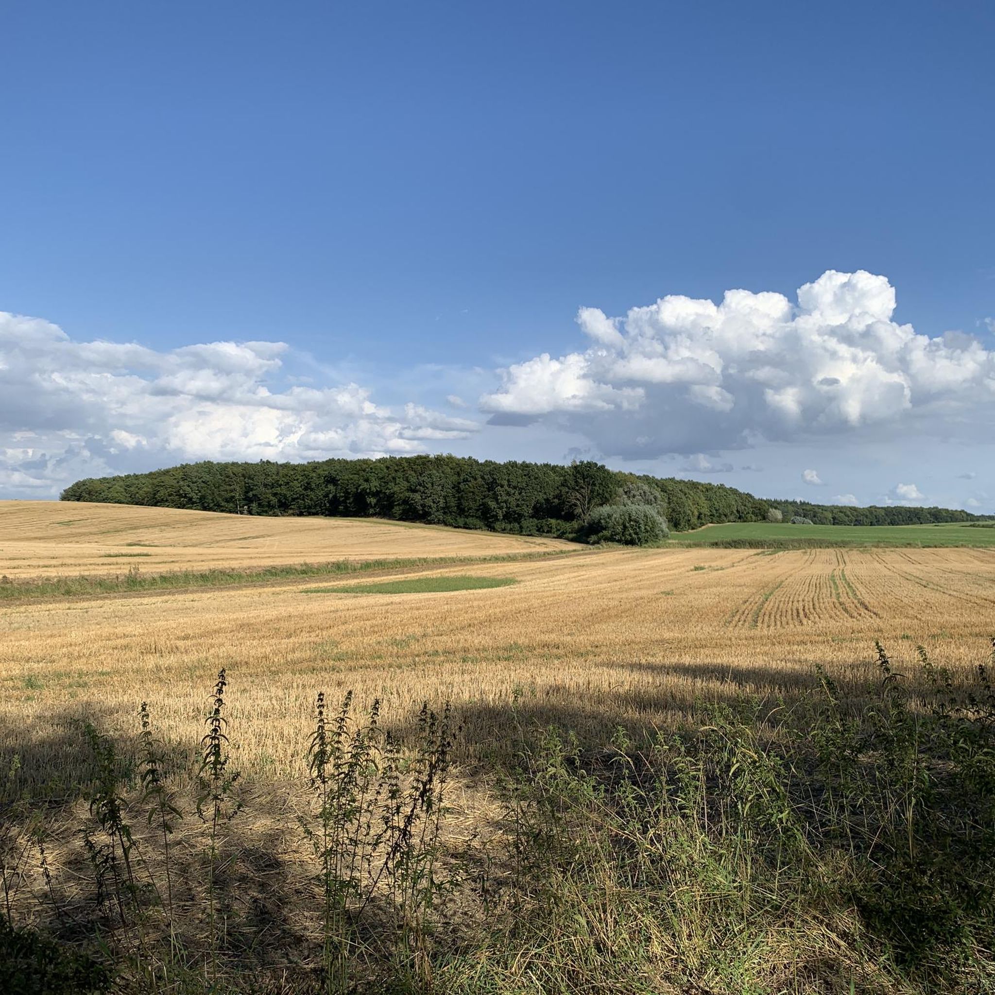
The path today (July 7, 2025) was machete-worthy: nettles, blackberry bushes (more than a man's height), thistles, grass. In places, it was so overgrown that one had to question the concept and definition of a path. Despite the Sleeping Beauty hedge experience, it was great. Long trousers and long-sleeved outerwear are recommended. The limbo training course after the nettle field behind the Moidenthin stop in the direction of the village of Mecklenburg was also a highlight.
0
0

The early Gothic brick building was built in the 14th century. The square tower (r) bears a Romanesque diamond-shaped spire, which is unique in Mecklenburg. https://www.auf-nach-mv.de/reiseziele/a-dorfkirche-dorf-mecklenburg
0
0
The building was constructed in 1701 and is considered the oldest secular building in Mecklenburg. Grain was once threshed in the passageway. It has been extensively renovated and is set to become the village center and meeting point again. https://pfarrscheune-dorfmecklenburg.de/geschichte-der-pfarrscheune/
0
0

The town owes its name "Bad" to the former hydrotherapy facility in 1915. Due to the existing electrification and its location on Lake Schwerin, the Bad Kleinen Mill Works were established in 1916. Bad Kleinen looks back on a varied history. https://www.mein-bad-kleinen.de/historisches-bad-kleinen/#:~:text=Der%20damaligen%20Wasserheilanstalt%20verdankt%20der,auf%20eine%20avielfalte%20Geschichte%20zur%C3%BCck. In Bad Kleinen stands a large old mill that produced first-class flour. When the Treuhand (Treuhand) took over, the business was closed. The site is now owned by a real estate group.
3
0

The tour is impressive not only for nature lovers 😉👍
0
0
The connection to Lake Schwerin was artificially created in 1531 with the aim of making it navigable. A stream called Steffine[1] and draining towards the Baltic Sea was originally already there
0
0
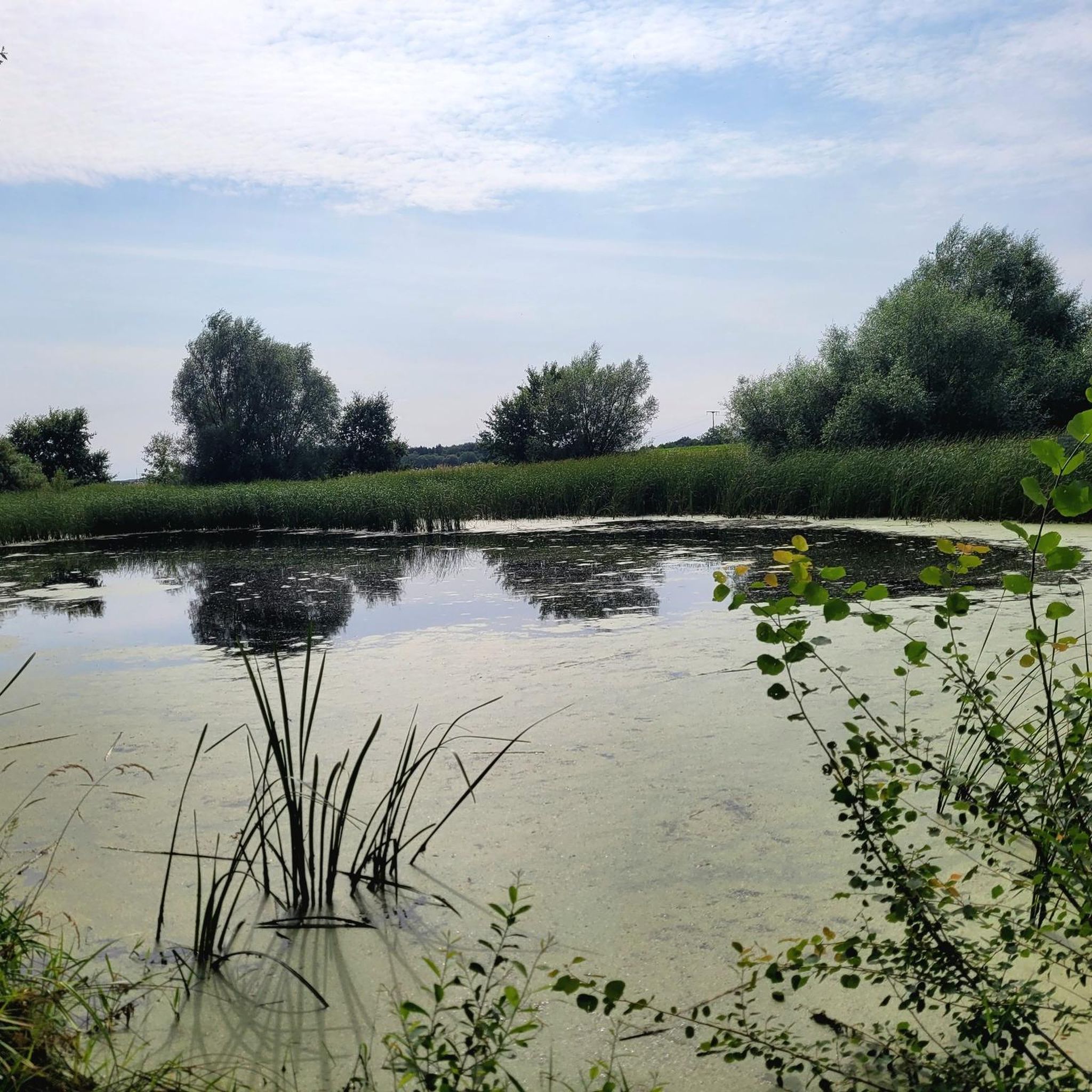
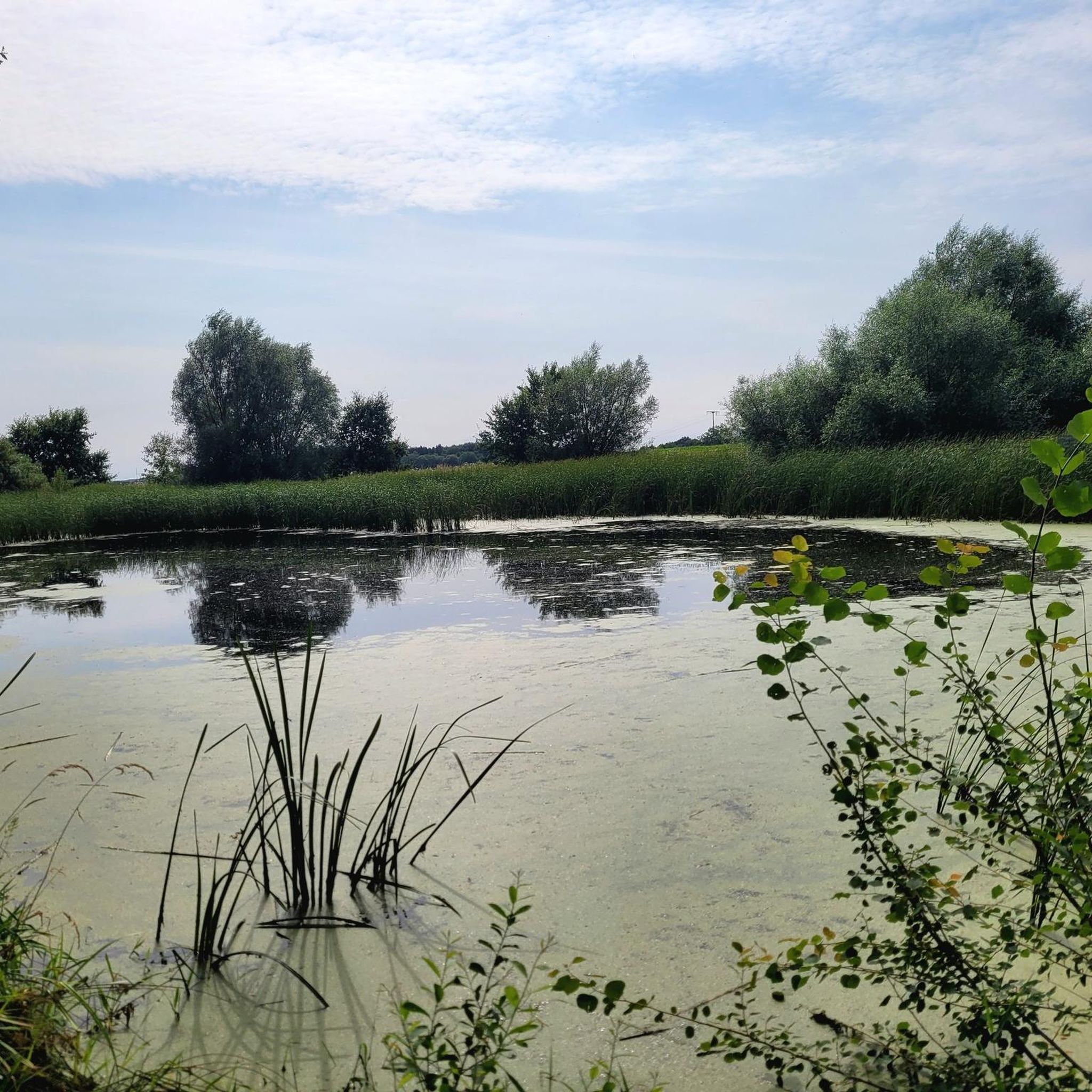
The Wallensteingraben, which connects Lake Schwerin with the Bay of Wismar, flows through the water from south to north. The banks are mainly covered with dense woodland. The Bad Kleinen-Wismar railway line runs along the west bank. Directly accessible areas are on the east bank. There are isolated reed beds on the south and north banks.
0
0
Frequently Asked Questions
What is the general terrain like for hiking around Groß Stieten?
Hiking around Groß Stieten is characterized by generally flat terrain with minimal elevation changes. The routes often follow the historic Wallensteingraben canal and skirt the shores of Lostener Lake, offering pleasant walks through natural waterways and surrounding countryside.
How many hiking trails are available in the Groß Stieten area?
There are over 300 hiking routes available around Groß Stieten, catering to various preferences. This includes a significant number of easy trails, making the area accessible for many hikers.
Are there many easy hiking trails suitable for beginners or casual walkers?
Yes, Groß Stieten offers a wide selection of easy trails, with over 200 routes classified as easy. A good example is the Lostener Lake – Wallensteingraben loop from Moidentin, which is an easy 3.3-mile (5.4 km) trail perfect for a relaxed outing.
Can I find circular hiking routes in Groß Stieten?
Many of the hiking routes around Groß Stieten are circular, allowing you to start and end at the same point. For instance, the Wallensteingraben – Lostener Lake loop from Groß Stieten is a popular 6.7-mile (10.9 km) circular route that explores the canal and lake.
What kind of attractions or landmarks can I see along the hiking trails?
The trails often lead past natural features like the Wallensteingraben canal and Lostener Lake. Nearby, you can explore the Outer Lake of Schwerin or the Döpe Nature Reserve. For historical interest, the charming Old Harbour Wismar and Wismar Old Town are also within reach.
Are there any family-friendly hiking options in Groß Stieten?
Given the predominantly flat terrain and numerous easy routes, Groß Stieten is well-suited for family hikes. Trails like the Wilder Wallensteingraben – Wallensteingraben Rest Area loop from Dorf Mecklenburg-Bad Kleinen offer manageable distances and gentle paths, ideal for families with children.
What do other hikers say about the trails in Groß Stieten?
The hiking routes in Groß Stieten are highly regarded by the komoot community, holding an average rating of 4.5 stars from over 1600 reviews. Hikers frequently praise the peaceful natural settings, the scenic views of the lakes and canal, and the well-maintained paths.
Is Groß Stieten a good destination for dog-friendly hiking?
Many of the trails around Groß Stieten are suitable for hiking with dogs, especially given the natural, open landscapes. It's always recommended to keep your dog on a leash, especially near wildlife or agricultural areas, and to check for any specific local regulations or protected zones.
What is the typical length and duration of hikes in this region?
Hikes in Groß Stieten vary in length and duration. You can find shorter, easy walks like the Swing by the Lake – Lostener Lake loop from Moidentin, which is about 3.3 miles (5.3 km) and takes around 1 hour 20 minutes. There are also longer, moderate options such as the Lostener Lake – Wallensteingraben loop from Dorf Mecklenburg-Bad Kleinen, spanning 7.5 miles (12.1 km) and taking approximately 3 hours.
Are there any good viewpoints or scenic spots along the trails?
The region's charm comes from its water features. You'll find scenic views along the Wallensteingraben canal and especially around Lostener Lake. The flat landscape also offers expansive views of the Mecklenburg-Vorpommern countryside. Consider visiting the Fischermeister Prignitz lakeside fish snack bar for a pleasant stop with lake views.
What is the best time of year to go hiking in Groß Stieten?
The best time to hike in Groß Stieten is typically from spring through autumn (April to October), when the weather is mild and the natural scenery is vibrant. Summer offers longer daylight hours, while spring and autumn provide pleasant temperatures and beautiful foliage. Winter hikes are also possible, especially on the flat trails, but be prepared for colder conditions and potentially icy paths.
Most popular routes around Groß Stieten
Most popular attractions around Groß Stieten

Get inspired with the komoot mobile app


Explore more
Browse the best Hikes in other regions.
