The best walks and hikes around Groß-Siegharts
4.7
(431)
2,107
hikers
27
hikes
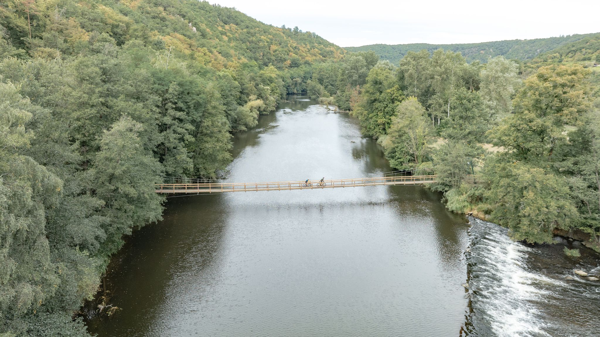
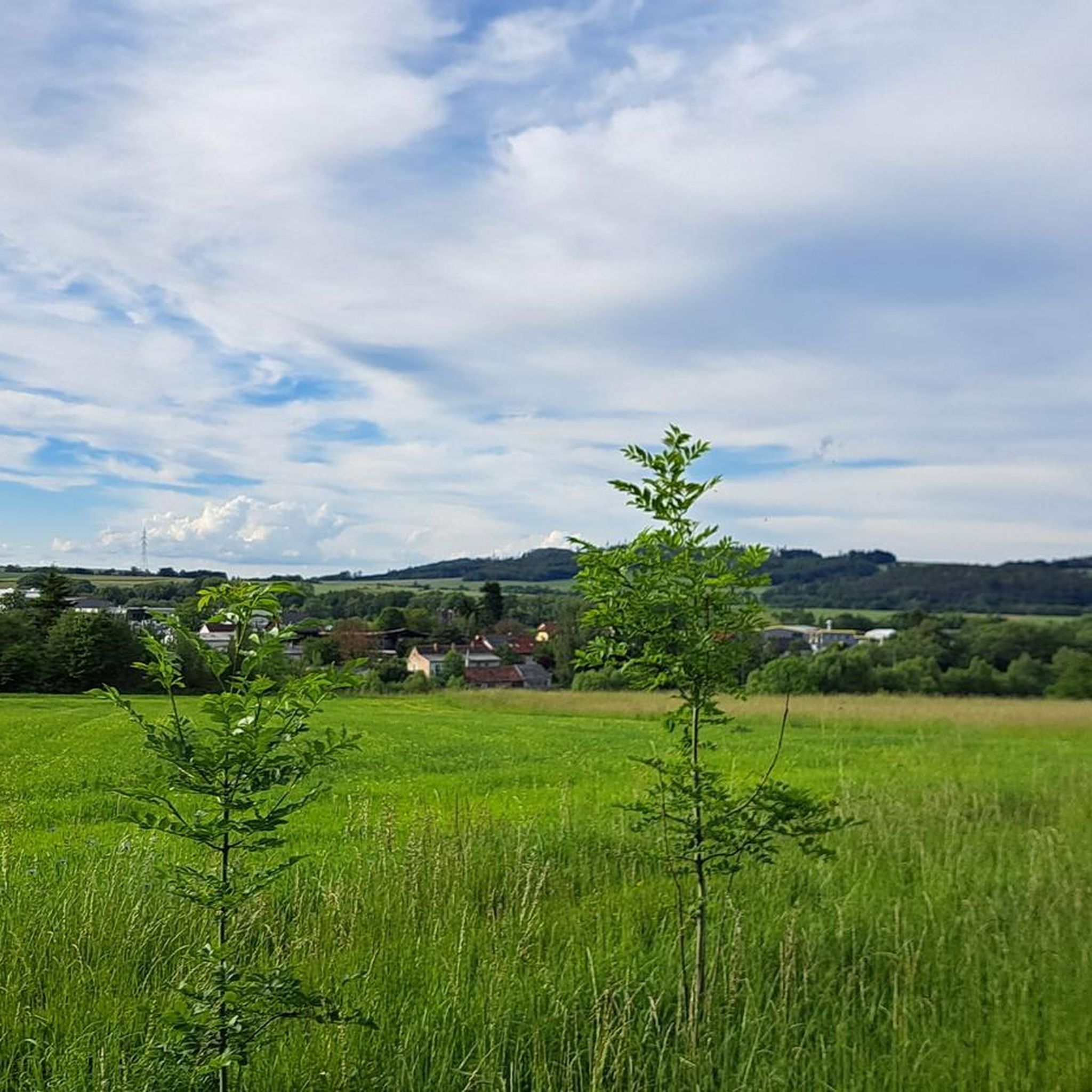
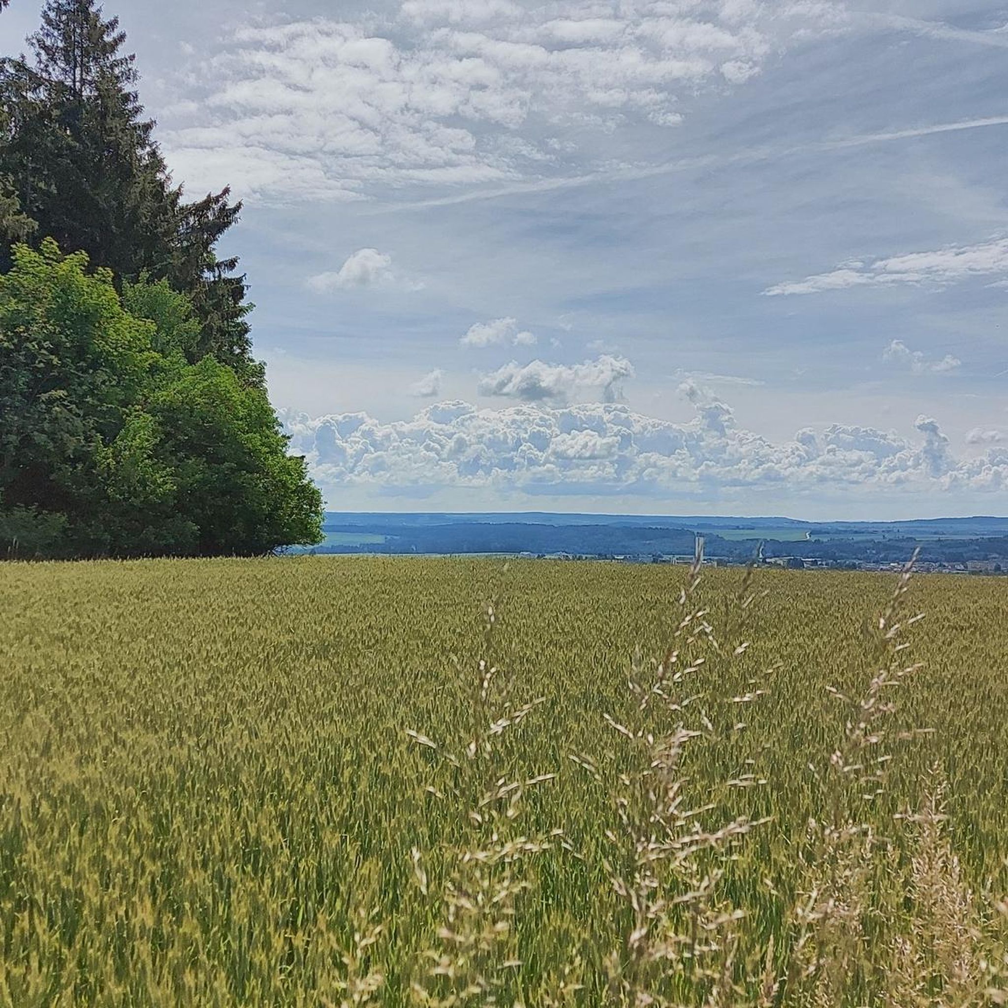
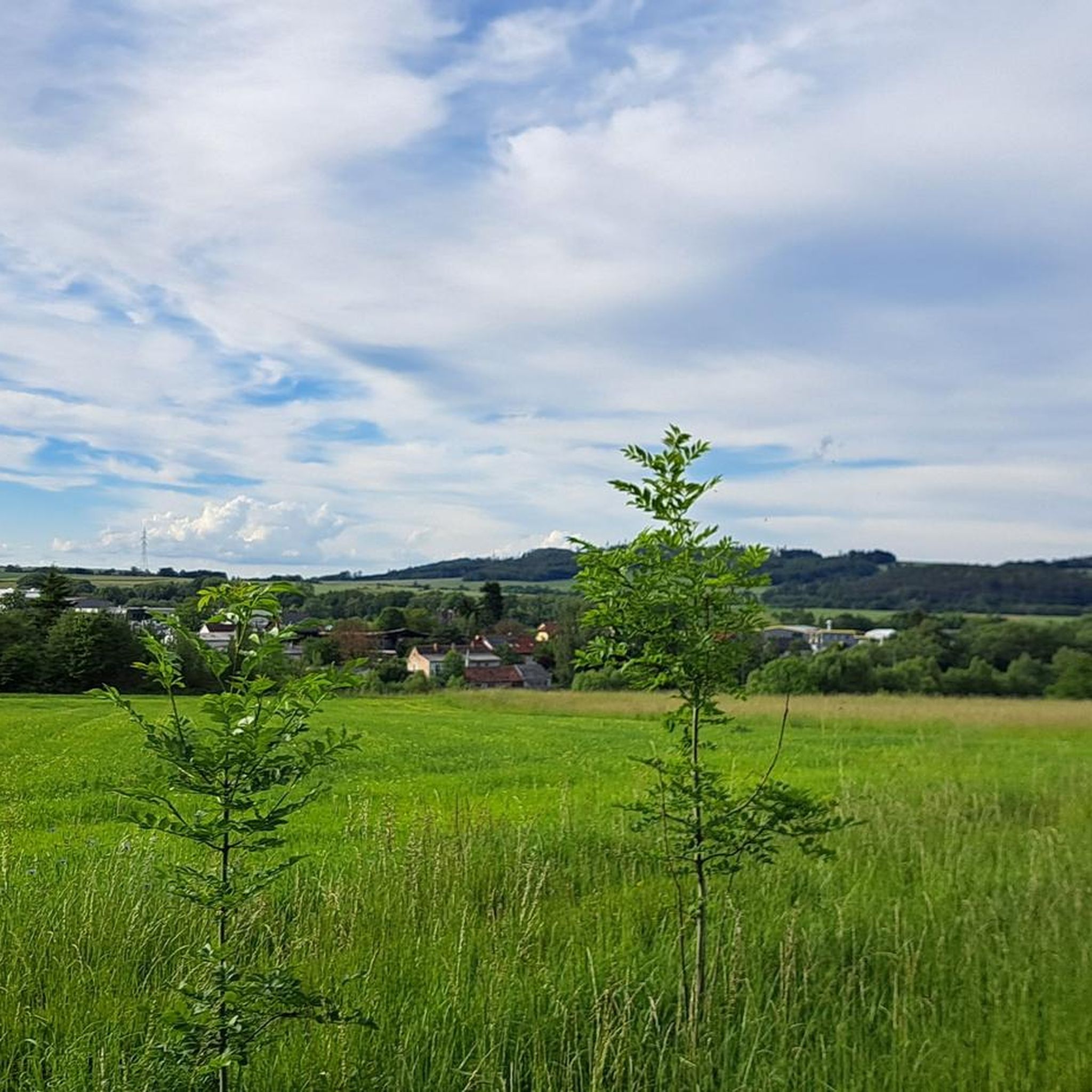
Hiking around Groß-Siegharts features an undulating landscape within the Waldviertel region of Austria. The area is characterized by a mix of woodlands, open countryside, and river valleys, including the Thayatal. The Predigtstuhl, at 718 meters, stands as a notable elevation, offering views of the surrounding terrain. This diverse environment provides varied hiking experiences across different elevations and surfaces.
Best hiking trails around Groß-Siegharts
- The most popular hiking route is Wayside Cross – Vogelpark Nature Trail loop from Groß-Siegharts, a…
Last updated: July 2, 2026
5.0
(6)
11
hikers
Moderate hike. Good fitness required. Easily-accessible paths. Suitable for all skill levels.
4.5
(2)
8
hikers
Moderate hike. Good fitness required. Easily-accessible paths. Suitable for all skill levels.

Sign up for free
10
hikers
8.56km
02:18
100m
100m
Moderate hike. Good fitness required. Easily-accessible paths. Suitable for all skill levels.
5.0
(1)
8
hikers
6.81km
01:54
130m
130m
Easy hike. Great for any fitness level. Easily-accessible paths. Suitable for all skill levels.
5.0
(2)
7
hikers
3.89km
01:03
50m
50m
Easy hike. Great for any fitness level. Easily-accessible paths. Suitable for all skill levels.
Get access to more routes and recommendations from other explorers.
Sign up for free
Already have an account?
Our route recommendations are based on thousands of hikes, rides, and runs completed by other people on komoot.
Start today with a free account
Your next adventure awaits.
Login or Signup

Other adventures around Groß-Siegharts

Tips from the Community

You can eat great food here all year round, and the swimming pond is also open in the summer.
0
0

View of the rock formation "Kanzel" near the Prädigtstuhl.
0
0

At the time of the creation of "Sigharz" around 1100, this place belonged to the old parish of Raabs an der Thaya - as early as 1080, the Bishop of Passau, Altmann, had personally established its parish rights with the consecration of the church of "Assumption of Mary on the Mountain". Around 1300, when Siegharts had already become a sizeable village with over 20 houses, the "Baptismal Church of St. John" was built here under Weichhart von Siegharts and his brother-in-law, Pastor Weigand von Raabs. This church survived all political unrest in the Middle Ages and early modern times, was even spared during the Thirty Years' War, and existed until the time of the lord Count Johannes Christoph Ferdinand von Mallenthein. He had the 400-year-old church demolished in 1720 and the "St. John's Church" was built in its place between 1723 and 1727, which was elevated to a parish church in 1783. The building plans for the church were drawn up by Donato Felice d’Allio, who also drew up the plans for the Klosterneuburg monastery. In 1727, Count Mallenthein became impoverished, partly due to excessive debt and partly due to difficulties in selling the textiles he produced. The construction of the church was therefore halted. Other ruling families also stopped building the church, so the lavish plans of the time could not be fully implemented. It was only after the war, in 1950, that the baroque furnishings could be added due to the growing prosperity.
0
0

An outdoor pool on the outskirts of town that can be used free of charge. The adjacent café/bistro invites you to linger with good food and drinks. In the cycling/hiking season there is an additional menu tailored to cyclists. Highlights include the 18-meter water slide with non-swimmer area, a sandy beach with play facilities for children, an open bookcase to browse with a wonderful view (and a glass of wine) and a decent selection of board games to linger with. There is also a separate dog area separate from the lawn. The area itself is surrounded by old, beautiful trees, the water is natural and pleasant, the old hunters' chapel completes the "rustic" picture. The staff speaks German, English and Czech and really cares about the well-being of the guests. Details can be found at www.waldbad-siegharts.at.
0
0

An inconspicuous rock formation that houses the "Dragon's Cave".
0
0
One of the few rock formations in front of the preaching chair
0
0
A great hiking destination that you can hike to in many variations.
1
1

The name is taken from the book "Der Predigtstuhl - The mystical guardian of the Waldviertel" by Gabriele Wanko.
0
0
Frequently Asked Questions
How many hiking trails are available around Groß-Siegharts?
There are over 25 hiking trails around Groß-Siegharts, offering a variety of experiences. The majority, about 19, are considered easy, while 8 are moderate in difficulty, making the area accessible for various fitness levels.
What are some notable natural features or landmarks to see while hiking in Groß-Siegharts?
The region is rich in natural beauty and historical sites. You can hike to the Predigtstuhl Summit, the highest point in the Waidhofen an der Thaya district, offering panoramic views. The Thayatal Valley is an impressive nature reserve with rare species. For historical exploration, consider the Ruins of Kollmitz Castle perched above the Thaya river, or the Sieghartsburg Castle which also provides breathtaking views. Additionally, the Lower Hackelstein Rock Shelter and Haidl-Keller are interesting natural monuments and caves in the vicinity.
Are there any family-friendly hiking options in Groß-Siegharts?
Yes, Groß-Siegharts offers several family-friendly routes. The ascent to Sieghartsburg Castle is relatively easy and suitable for families. Within Groß-Siegharts itself, the Waldbad (forest pool) and the spacious Schlosspark (castle park) provide pleasant areas for strolls and connecting to longer, gentler routes. Many of the 19 easy trails are well-suited for families.
When is the best time of year to go hiking in Groß-Siegharts?
Spring and autumn are considered the best seasons for hiking in Groß-Siegharts. During these times, the weather is pleasant, and the natural surroundings display vibrant colors, making for a particularly scenic experience.
Are there any circular walks available in Groß-Siegharts?
Yes, many of the trails around Groß-Siegharts are circular. For example, the Wayside Cross – Vogelpark Nature Trail loop from Groß-Siegharts is a moderate 12.6 km route exploring the Waldviertel countryside. Another popular option is the Fischstein Rock Formation – Predigtstuhl Summit (718 m) loop from Groß-Siegharts, which includes an ascent to the Predigtstuhl summit.
What do other hikers enjoy most about hiking in Groß-Siegharts?
The hiking routes in Groß-Siegharts are highly rated by the komoot community, with an average score of 4.7 stars from nearly 100 reviews. Hikers often praise the unspoiled Waldviertel countryside, the diverse terrain, and the rewarding panoramic views from points like the Predigtstuhl summit.
Are there any routes that include water features or reservoirs?
Yes, the region offers routes that incorporate water features. A notable option is a circular route around the idyllic Ottenstein Reservoir, which not only provides beautiful natural scenery but also opportunities for water sports.
What is the typical terrain and elevation gain like on trails around Groß-Siegharts?
Hiking around Groß-Siegharts is characterized by undulating hills, dense woodlands, and river valleys. While many trails are easy, some moderate routes, like the Fischstein Rock Formation – Predigtstuhl Summit (718 m) loop, involve ascents to higher points like the Predigtstuhl (718 m), offering varied elevation changes and rewarding views.
Are there any cultural or historical sites accessible via hiking trails?
Absolutely. Besides the aforementioned Sieghartsburg Castle and the Ruins of Kollmitz Castle, you can explore routes that pass through cultural sites. The Horn City Park – Living Textile Museum loop from Groß-Siegharts, for instance, leads through urban parkland and cultural attractions, offering a blend of nature and heritage.
Are there any facilities or shelters along the hiking trails?
Yes, there are some facilities and shelters available. For example, the Covered Rest Area by the Thaya and the Plapperhütte Shelter and Thaya River View provide places to rest. There's also a Shelter and picnic area on the Moravian Thaya.
What kind of views can I expect on hikes in Groß-Siegharts?
Hikers can expect rewarding panoramic views, especially from higher elevations. The Predigtstuhl Summit offers extensive vistas of the surrounding Waldviertel landscape. Routes leading to Sieghartsburg Castle also provide breathtaking views of the area's gently undulating terrain.
Most popular routes around Groß-Siegharts
Most popular attractions around Groß-Siegharts

Get inspired with the komoot mobile app


Explore more
Browse the best Hikes in other regions.
