The 14 Most Amazing Peaks around Rutesheim
Best mountain peaks around Rutesheim are characterized by rolling hills and forests, offering numerous elevated areas and vantage points. The town itself lies at an elevation of 447 meters, with elevated points reaching approximately 490 meters. These hills near Rutesheim Germany provide scenic views and opportunities for outdoor activities like hiking and cycling. The Rutesheim hiking areas contribute to the landscape, making it a destination for those seeking natural beauty and expansive vistas.
Best mountain peaks around Rutesheim
- The most…
Last updated: August 25, 2026
Engelberg Tower, Leonberg
Highlight • Monument
Translated by Google •
Tip by

Celtic grave Hochdorf
Highlight • Historical Site
Translated by Google •
Tip by

Sign up now to discover places like this
Get recommendations on the best single tracks, peaks, & plenty of other exciting outdoor places.
Sign up for free
Gerlinger Kopf
Highlight • Summit
Translated by Google •
Tip by

Geißberg
Highlight • Summit
The Gäurandweg trail also runs through here.
Several marked hiking trails, such as the Schneckenweg (Snail Trail) or Veigelesweg (Veigeles Trail), also pass through here.
Translated by Google •
Tip by

View of the Biet Heights and Heckengäu
Highlight • Viewpoint
Translated by Google •
Tip by

Sign up for free to discover even more peaks around Rutesheim.
Sign up for free
Already have an account?
Start today with a free account
Your next adventure awaits.
Login or Signup
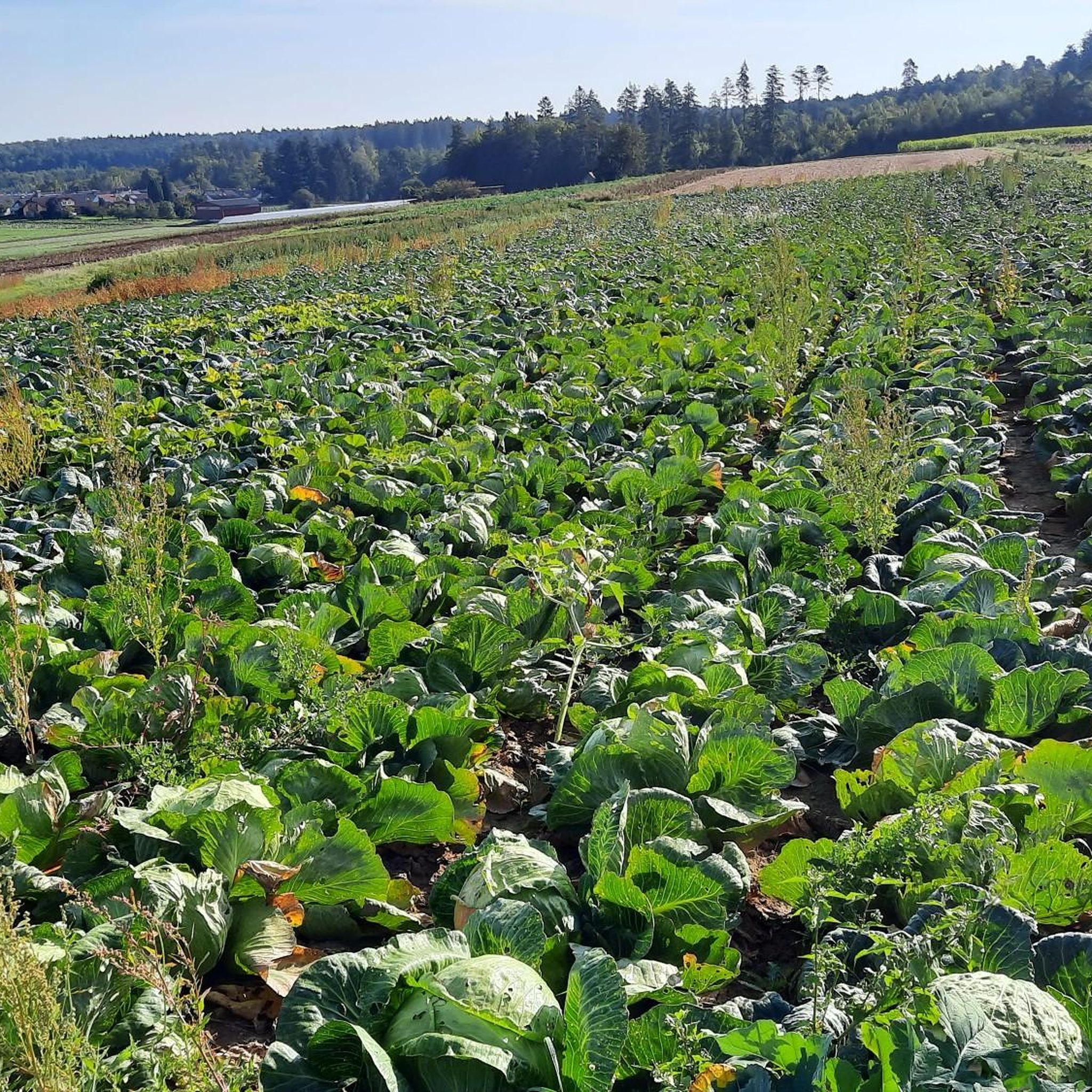
Tips from the Community

Magnificent panoramic views over the landscape and towns on both sides of the Würm valley. To the west, the view extends to the northern Black Forest and the Nagold valley.
4
0

A beautiful nature reserve for hikers and cyclists. The Gäurandweg trail also runs through here. Several marked hiking trails, such as the Schneckenweg (Snail Trail) or Veigelesweg (Veigeles Trail), also pass through here.
9
0

Hörnle and Geißberg is a nature reserve designated by decree of the Karlsruhe Regional Council on December 30, 1993, with the number 2.176, and a landscape conservation area of the same name with the number 2.35.051. Source: https://de.wikipedia.org/wiki/H%C3%B6rnle_und_Gei%C3%9Fberg To reduce the whole thing to one point is...
0
0

The path down to the quarry is very steep and can be challenging, especially in wet weather.
0
0

When it was discovered, the princely burial mound of Hochdorf had been reduced to a mere mound of ground. After its reconstruction in 1987, it once again forms an imposing landmark with a diameter of 60 m, a height of 6 m, and a volume of 7,000 m³ of earth and 280 tons of stone. The mound is freely accessible and is half a kilometer from the museum. From the top, you have a magnificent view 👀 of the surrounding landscape 👍🏼
2
0

Looks like the little brother of the big Engelberg tower
7
1
Unfortunately, Leonberg's landmark is only open on Sundays and public holidays from May 1st to October 31st, from 9:00 a.m. to 5:00 p.m., which is a real shame! ☹️ You can also visit outside of these hours. If you know in advance, you should call the number provided in the photo.
7
1
Around 550 BC, a man aged around 40 to 50 was buried here with princely pomp. A mighty burial mound, around 6 m high and 60 m in diameter, was built over the burial chamber. It was not until the 1970s that traces of this mighty grave monument were found again. The Baden-Württemberg State Monument Authority carried out excavations from 1978 to 1979. The result was and still is sensational: the burial chamber was found completely unrobbed. The dead man was lying on a bronze couch. The prince wore the typical large gold collar and his dagger as a badge of status. Golden funeral jewelry suggests that the body was laid out in a ceremonial manner. The many fragments of fabrics and other objects are of particular importance. In keeping with his status, his four-wheeled, iron-clad cart with yoke and decorated bridle was placed in the grave. A showpiece of bronzesmithing from the Mediterranean region is the large lion cauldron, which contained over 400 litres of mead.
9
0
Frequently Asked Questions
What are some notable elevated points or 'peaks' to explore around Rutesheim?
While Rutesheim is characterized by rolling hills rather than dramatic mountain peaks, several elevated areas offer scenic views and outdoor opportunities. Key spots include the historical site of Celtic grave Hochdorf, the elevated Gerlinger Kopf, and Kaiserstein Hemmingen, which offers panoramic views.
Are there any historical sites among the elevated points near Rutesheim?
Yes, the Celtic grave Hochdorf is a significant historical site. It features a reconstructed burial mound where a Celtic prince was interred around 550 BC, offering insights into ancient history and culture. Original finds from this site are housed in the Württemberg State Museum.
What kind of views can I expect from the elevated points around Rutesheim?
From locations like Kaiserstein Hemmingen, you can enjoy a great panoramic view of the surrounding area. The region's elevated spots generally provide expansive vistas of the picturesque rolling hills and forests that define the Rutesheim landscape.
Are there any nature reserves or natural monuments among the elevated areas?
Yes, the Feuerbacher Heide-Dickenberg Nature Reserve is a notable natural monument. This 17.8-hectare reserve preserves the typical, diverse Heckengäu landscape, featuring heathland, species-rich meadows, hedges, and mixed forests, maintained through sheep grazing.
What outdoor activities can I do near the elevated areas of Rutesheim?
The region is excellent for outdoor activities, particularly hiking and cycling. You can explore numerous trails that traverse the beautiful landscapes. For specific routes, consider the Gravel biking around Rutesheim guide or the MTB Trails around Rutesheim guide for cycling adventures.
Are there family-friendly hiking options around Rutesheim's elevated points?
Yes, several elevated points and trails are considered family-friendly. For instance, both the Celtic grave Hochdorf and Kaiserstein Hemmingen are categorized as family-friendly. The Feuerbacher Heide-Dickenberg Nature Reserve also offers accessible natural beauty for families.
What do visitors enjoy most about the elevated areas around Rutesheim?
Visitors frequently appreciate the natural beauty, the expansive vistas from viewpoints, and the historical significance of sites like the Celtic grave. The opportunity for peaceful hikes through picturesque hills and forests, often integrated with these landmarks, is also highly valued by the komoot community.
Are there specific hiking trails near these elevated points?
Yes, the elevated points are often integrated into local hiking trails. For example, the Running Trails around Rutesheim guide features routes like the 'Kraxlalm Experience Dining – Rutesheim Forest High Ropes Course loop' which is an easy option, and the 'View of Rutesheim – Gebersheim Indian Playground loop' for a moderate challenge.
What is the highest point in the Rutesheim district?
The highest point in the Rutesheim district is an area around a water reservoir, reaching approximately 490 meters (1,608 ft) above sea level. While not a dramatic peak, it contributes to the elevated landscape of the region.
Is the Kaltenberg Summit worth visiting for views?
While Kaltenberg Summit is an elevated point, visitor tips indicate that the bushes and trees have grown quite high, significantly obstructing the views. Therefore, it is generally not recommended if your primary goal is panoramic scenery.
Can I find challenging routes for mountain biking near Rutesheim's elevated areas?
Yes, for those seeking more challenging mountain biking, the MTB Trails around Rutesheim guide offers routes such as the 'Eltinger Kopf – Trail With Small Jumps loop' and the 'View from Betzenbuckel – Tiefenbronn Trail loop', which are rated as moderate difficulty.
What is the significance of Kaiserstein Hemmingen?
Kaiserstein Hemmingen is a man-made monument with historical significance. It marks the location where Kaiser Wilhelm I observed military maneuvers in 1885. Beyond its historical context, it also provides a panoramic view of the surrounding area.
Most popular routes around Rutesheim
Most popular attractions around Rutesheim

Get inspired with the komoot mobile app


Explore more
See even more amazing summits around Rutesheim with these guides:
