The best cycling routes around Groß Rönnau
4.5
(2080)
8,498
riders
11
rides
Touring cycling routes around Groß Rönnau offer a network of paths through a landscape characterized by lakes, former railway lines, and nature reserves. The region features generally flat terrain with gentle elevation changes, making it suitable for various cycling abilities. Routes often traverse open countryside, connecting small towns and natural areas.
Best touring cycling routes around Groß Rönnau
- The most popular touring cycling route is Ehrgarten Cafe – Nehmser Lake loop from Krems II, a 19.9 miles (32.0 km)…
Last updated: July 6, 2026
4.8
(111)
356
riders
32.3km
02:08
180m
180m
Hard bike ride. Good fitness required. You may need to push your bike for some segments of this route.
4.6
(13)
29
riders
17.3km
01:08
70m
70m
Hard bike ride. Great for any fitness level. You may need to push your bike for some segments of this route.

Sign up for free
5.0
(3)
12
riders
46.6km
02:54
260m
260m
Hard bike ride. Good fitness required. You may need to push your bike for some segments of this route.
5.0
(2)
9
riders
Hard bike ride. Good fitness required. You may need to push your bike for some segments of this route.
8
riders
36.0km
02:12
150m
150m
Hard bike ride. Good fitness required. You may need to push your bike for some segments of this route.
Get access to more routes and recommendations from other explorers.
Sign up for free
Already have an account?
Our route recommendations are based on thousands of hikes, rides, and runs completed by other people on komoot.
Start today with a free account
Your next adventure awaits.
Login or Signup
Tips from the Community

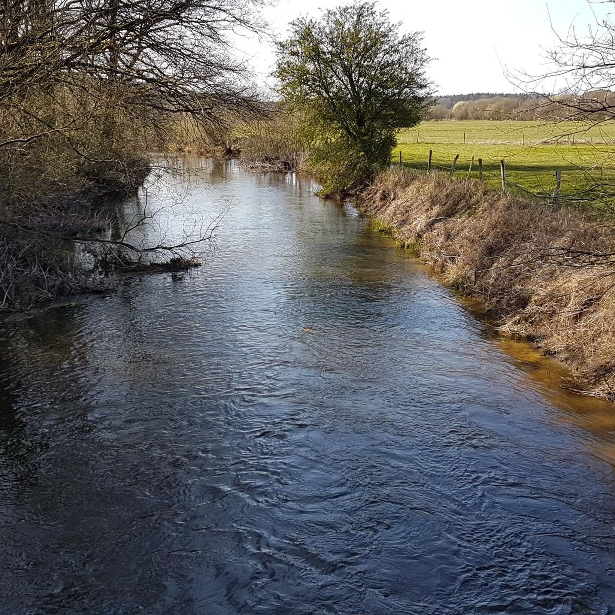
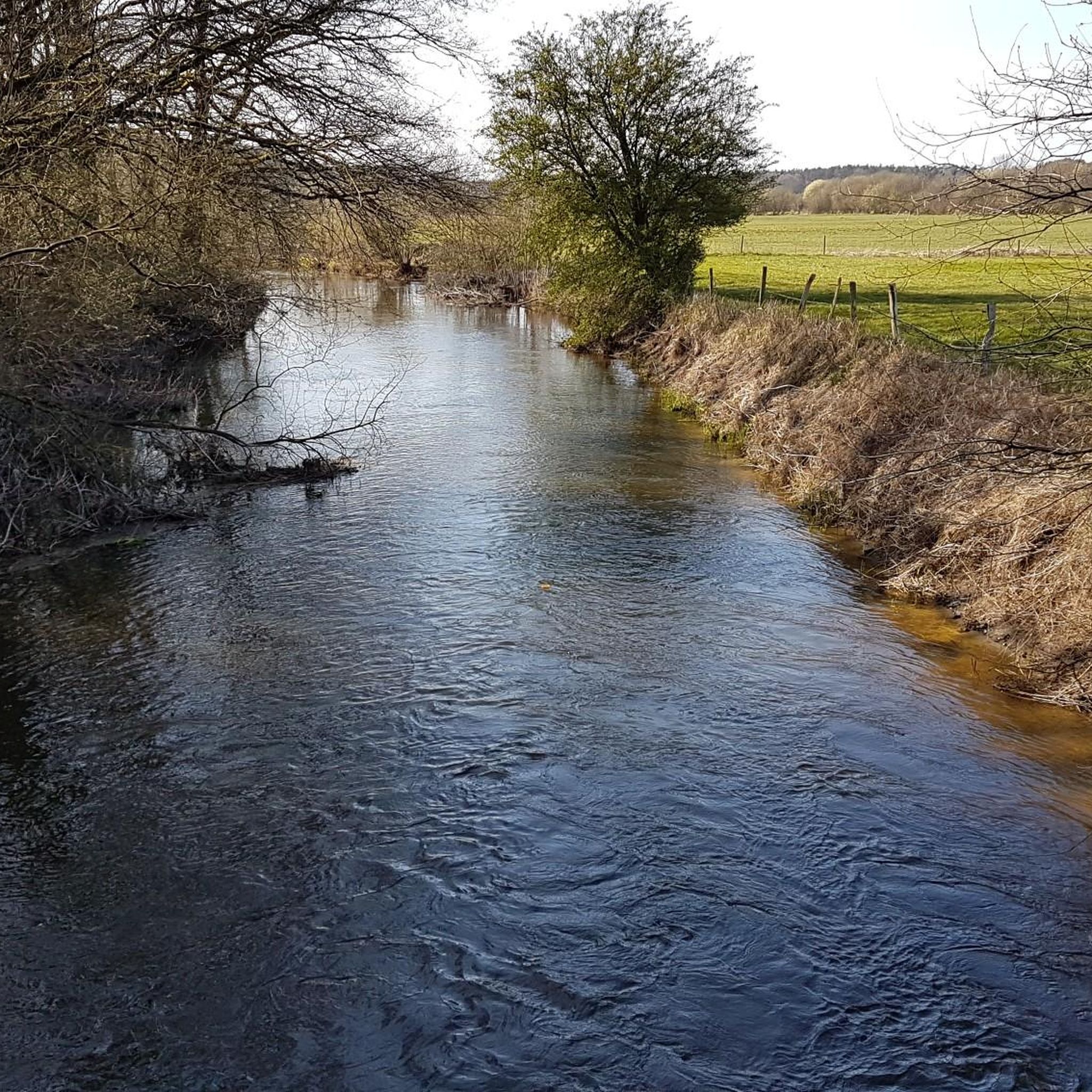
Overall, a small-scale mosaic of moorland vegetation, water bodies, and dry peat dams has emerged. The area provides habitat for numerous amphibian species such as the European green toad and the moor frog. The otter can be found in the Tensfelder Au area. Thanks to the successfully initiated renaturation, the Tarbeker Moor has developed into a diverse, species-rich moor complex and is particularly worthy of protection as a remnant of an originally extensive moor landscape. It is of statewide importance in terms of its species and habitat diversity, its regeneration approaches, and its extensive nature. The overarching conservation goal is to promote regenerating transitional moor vegetation and its further development into a raised bog. To this end, optimizing the waterlogged condition in the moor and its surroundings is particularly important. Furthermore, the area's suitability as a corridor for otters is to be preserved.
7
0

The path leads directly past the bathing area.
1
0

A grassy path leads along the lake to the bathing area, and there is also a parking lot above the bathing area. The bathing area has a jetty and is marked as a non-swimmer and swimmer zone. Watch out for seaweed in the swimming area. There is a small sandy beach, a large lawn, and benches for relaxing, as well as restrooms and a changing room. The lake is 23 hectares in size and 2.2 meters deep and is a channel lake (formed by thawed meltwater during the last ice age).
1
0

I passed through there two years ago on my "Timmd-Uetersen-a02" tour. The tour is part of the return trip from the cycling trip to Plön, which several people took with me.
1
0
The lake was first mentioned in a document in 1075 in a description of the Limes Saxoniae by Adam of Bremen. The village was first mentioned in 1347, when the knight Nikolaus Splyth pledged his estate, including the village of Stocksee, to Reinfeld Monastery. From 1640 to 1649, Stocksee was owned by the noble Brockdorff family. In 1649, Duke Joachim Ernst (Schleswig-Holstein-Sonderburg-Plön), the first Duke of the Duchy of Schleswig-Holstein-Sonderburg-Plön, acquired Stocksee.[6]
6
0
On October 1, 1937, the municipality of Stocksee was merged with the neighboring village of Damsdorf under the name Stocksee. In 1948, the municipal council decided to separate the municipalities again, and this decision was implemented on March 31, 1951.[8][9] In the 1980s, divers found a roughly 700-year-old dugout canoe in the lake, indicating a longer settlement history in the village.
6
0
Today's lake fills a deeply incised glacial tongue basin from the Weichselian glaciation. This basin was formed by the advance of various glaciers, which carved out large basins in the soft soil and deposited the material laterally. This formation resulted in the lake's shores being relatively steep, and the reed beds along the shores are relatively narrow. The lake contains three islands (Großrethberg, Kleine Insel, and Lange Insel) and a peninsula, which, like the shoreline, are predominantly covered in alder swamp forests. In higher elevations, these wetland forests transition into extensively managed beech forests.
7
0
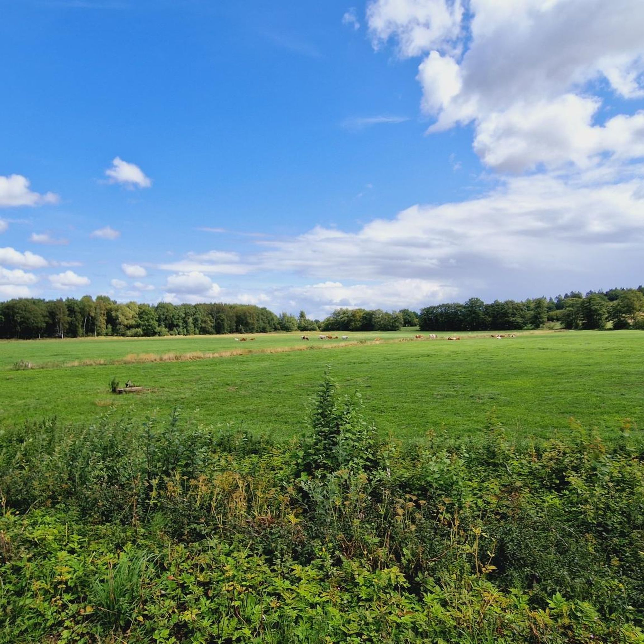
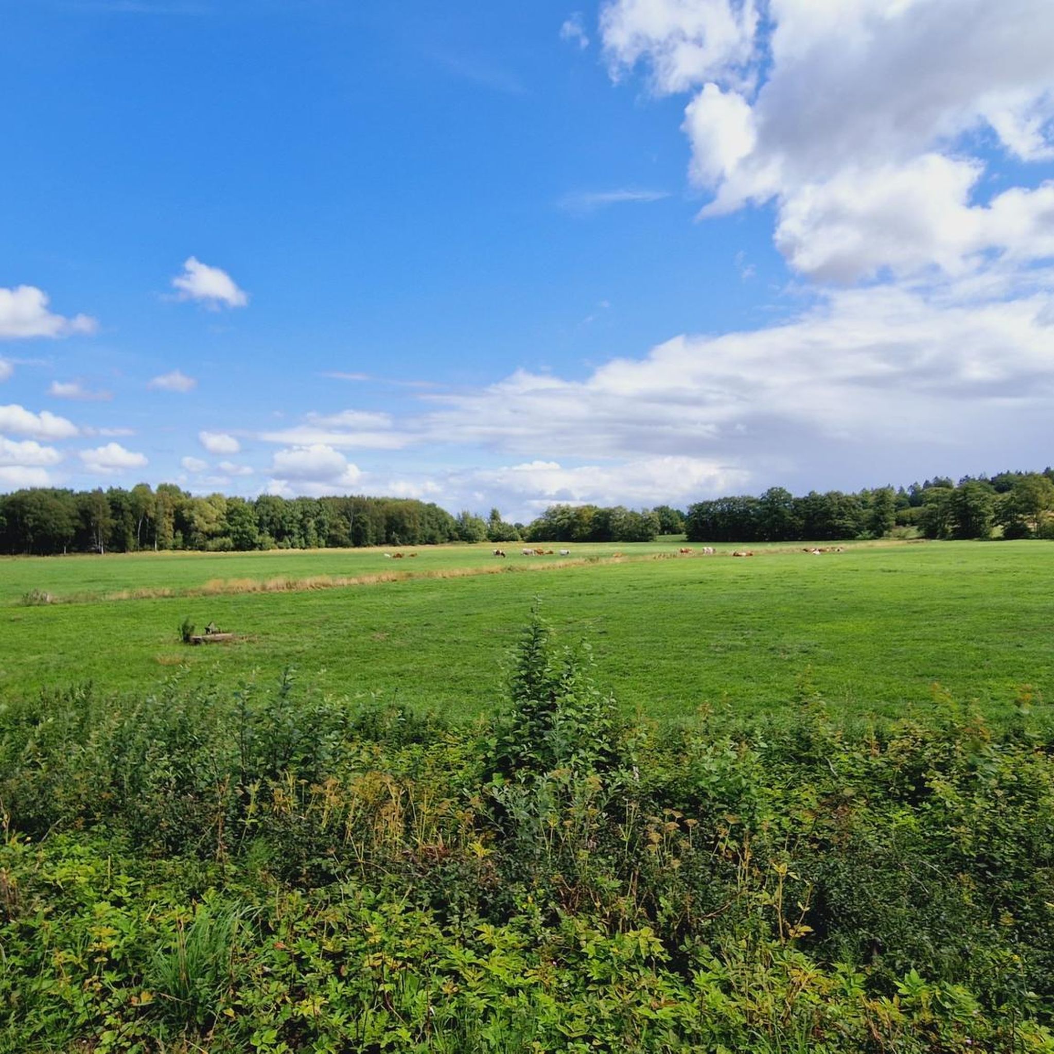
Cows and calves grazing on pasture is an image often associated with species-appropriate animal husbandry and a high quality of life for the animals. Spending time together on pasture promotes the animals' natural behavior, enables social interaction, and contributes to their health. Advantages of grazing cows and calves: Natural husbandry: Cows and calves can pursue their natural needs, such as eating, exercising, resting, and interacting with other animals. Social learning: Calves learn how to interact in the herd from older animals and imitate their eating behavior. Improved animal welfare: Grazing promotes the animals' health because they can exercise, soak up sunlight, and breathe fresh air. Stable herd structure: Grazing together contributes to the development of close relationships and promotes a calm and stable herd structure. Promoting natural feeding habits: Calves learn to eat pasture feed early on and can thus better meet their needs. Less stress and competition: Due to the larger space and forage variety on the pasture, stress caused by competition is reduced. Aspects to consider when grazing: Weather conditions: Dry weather is important to protect pasture soils and animals from wet conditions. Forage availability: A good pasture with sufficient forage is crucial for successful grazing. Shelter: A sheltered shelter with dry bedding should be available to protect the animals from the elements. Frost-free water troughs: A frost-free water supply is important in winter, so heated water troughs should be provided. Keeping cows and calves together on pasture is an animal-friendly and natural form of husbandry that has a positive effect on the well-being and health of the animals.
6
0
Frequently Asked Questions
What is the general difficulty level of touring cycling routes around Groß Rönnau?
The touring cycling routes around Groß Rönnau offer a mix of difficulties. While the terrain is generally flat with gentle elevation changes, there are routes suitable for various skill levels. Out of the 10 available routes, 2 are considered easy, 1 is moderate, and 7 are more challenging, catering to both casual riders and those seeking a more demanding experience.
Are there family-friendly touring cycling routes around Groß Rönnau?
Yes, there are touring cycling routes suitable for families. The region's generally flat terrain makes it accessible for riders of all ages. Look for routes designated as 'easy' within the komoot app, which typically feature well-maintained paths and shorter distances, ideal for a family outing.
What are the typical distances and durations for touring cycling routes in Groß Rönnau?
The routes vary in length and time. For instance, the Ehrgarten Cafe – Nehmser Lake loop from Krems II is about 19.9 miles (32.0 km) and takes around 2 hours 7 minutes. Longer options like the Nehmser Lake – Former Railway Line Near Blunk loop from Groß Rönnau cover 29.0 miles (46.7 km) and can take nearly 3 hours.
What natural attractions or landmarks can I explore while cycling around Groß Rönnau?
The region is rich in natural beauty. You can encounter several lakes, such as Nehmser Lake, and areas like the Tarbeker Moor Nature Reserve. Highlights include the Lakeside promenade at the Great Segeberg Lake, the View of Großer Segeberger Lake, and the Lake Ihl. Many routes also follow former railway lines, offering unique perspectives of the landscape.
Are most touring cycling routes around Groß Rönnau circular?
Yes, many of the touring cycling routes in Groß Rönnau are designed as loops, allowing you to start and end your journey at the same point. Examples include the Ehrgarten Cafe – Nehmser Lake loop from Krems II and the Trave Bridge – Trave Bridge, Klein Rönnau loop from Groß Rönnau.
What do other touring cyclists enjoy the most about cycling in Groß Rönnau?
The area is highly rated by the komoot community, with an average score of 4.5 stars from over 1,600 reviews. Reviewers often praise the diverse landscape, which includes lakes, former railway lines, and nature reserves, as well as the well-maintained network of paths suitable for various abilities.
Are there any cafes or refreshment stops along the touring cycling routes?
Yes, some routes pass by cafes or offer opportunities for refreshment. For example, the Ehrgarten Cafe – Nehmser Lake loop from Krems II specifically mentions passing by the Ehrgarten Cafe, providing a convenient stop during your ride.
What is the best season for touring cycling around Groß Rönnau?
The best season for touring cycling in Groß Rönnau is generally from spring to autumn (April to October). During these months, the weather is typically mild, and the natural landscapes are at their most vibrant, offering pleasant conditions for longer rides. Always check the local weather forecast before heading out.
Are dogs allowed on touring cycling paths in Groß Rönnau?
While many paths in the region are dog-friendly, it's always advisable to keep your dog on a leash, especially when cycling through nature reserves or areas with livestock. Be mindful of local regulations and other path users to ensure a pleasant experience for everyone.
Are there more challenging touring cycling routes in the area?
Yes, for experienced touring cyclists seeking a challenge, there are several difficult routes. The Former Railway Line Near Blunk – Lake view of the Wardersee loop from Groß Rönnau is a difficult 29.0-mile (46.8 km) route with notable elevation changes, offering a more strenuous ride through varied landscapes.
Can I access touring cycling routes in Groß Rönnau using public transport?
Groß Rönnau and its surrounding towns are generally accessible by public transport, though options may vary. It's recommended to check local bus or train schedules to see which routes connect to your desired starting points. Some public transport services may also allow bicycles, but this should be confirmed in advance.
Is parking available near the touring cycling routes in Groß Rönnau?
Parking is typically available in or near the villages and towns that serve as starting points for many routes. Look for designated parking areas in Groß Rönnau or nearby communities like Krems II, especially near popular trailheads or local amenities.
Most popular routes around Groß Rönnau
Most popular attractions around Groß Rönnau

Get inspired with the komoot mobile app


Explore more
Browse the best Cycling routes in other regions.
