The best road cycling routes around Großraming
4.7
(141)
3,300
riders
15
rides
Road cycling around Großraming offers diverse landscapes, from the valleys of the Enns River to the foothills of the Kalkalpen National Park. The region features a mix of rolling terrain, forested areas, and routes that follow river courses. Cyclists can expect varied elevation profiles, with options ranging from moderate climbs to more challenging ascents through the Upper Austrian countryside. This area provides a network of road cycling routes suitable for different fitness levels.
Best road cycling routes around Großraming
- The…
Last updated: July 5, 2026
5.0
(1)
103
riders
86.8km
04:28
1,110m
1,110m
Hard road ride. Very good fitness required. Mostly well-paved surfaces and easy to ride.
4.0
(2)
77
riders
57.5km
02:50
760m
760m
Moderate road ride. Good fitness required. Mostly well-paved surfaces and easy to ride.

Sign up for free
5.0
(1)
17
riders
39.3km
02:13
580m
580m
Moderate road ride. Good fitness required. Mostly well-paved surfaces and easy to ride.
4.8
(4)
14
riders
23.9km
01:34
330m
330m
Moderate road ride. Good fitness required. Some segments of this route may be unpaved and difficult to ride.
8
riders
40.8km
02:13
760m
760m
Moderate road ride. Good fitness required. Mostly well-paved surfaces and easy to ride.
Get access to more routes and recommendations from other explorers.
Sign up for free
Already have an account?
Our route recommendations are based on thousands of hikes, rides, and runs completed by other people on komoot.
Start today with a free account
Your next adventure awaits.
Login or Signup
Popular around Großraming
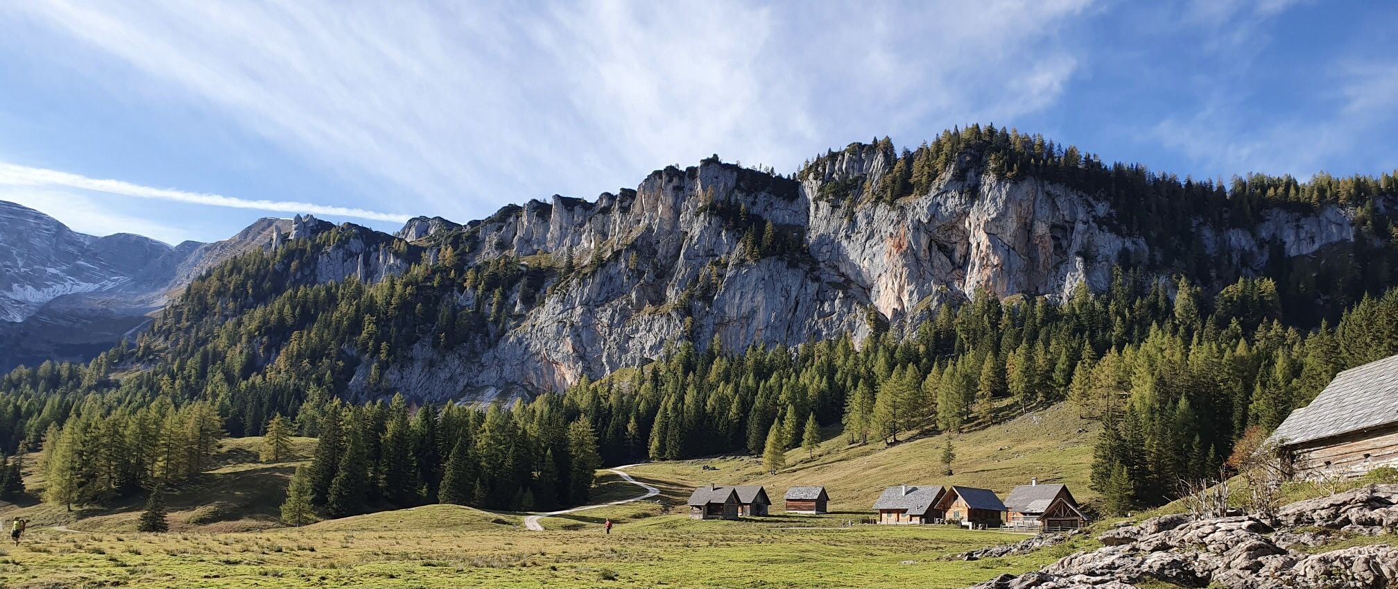
Austria's Kalkalpen Trail – Giant rocks & alpine meadows
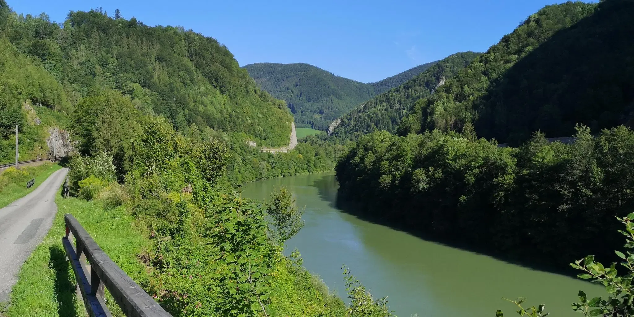
A pilgrimage in Austria’s Ennstal National Park – Sebaldusweg
Natur erleben: Dein Wanderurlaub am Bauernhof
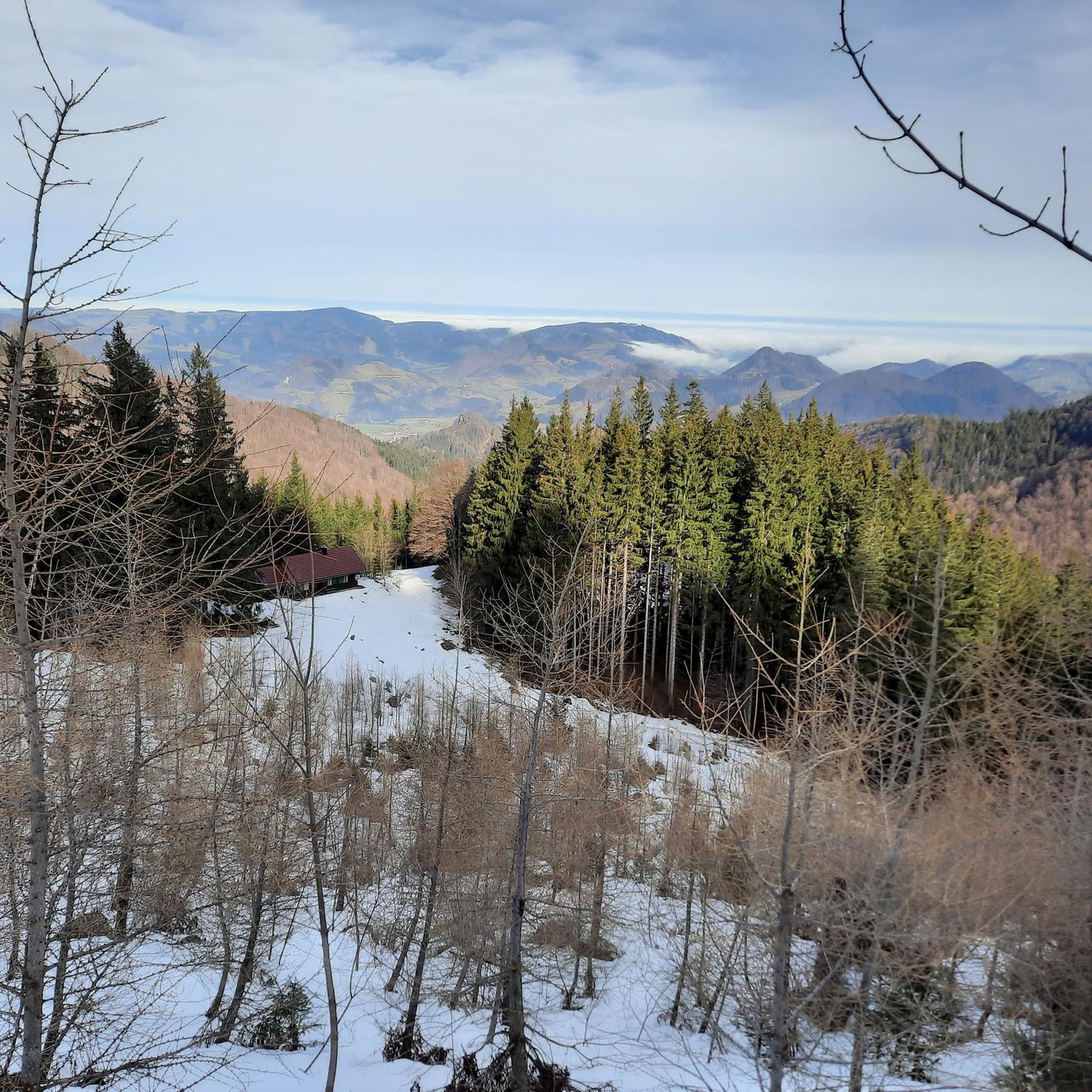
Hiking around Großraming
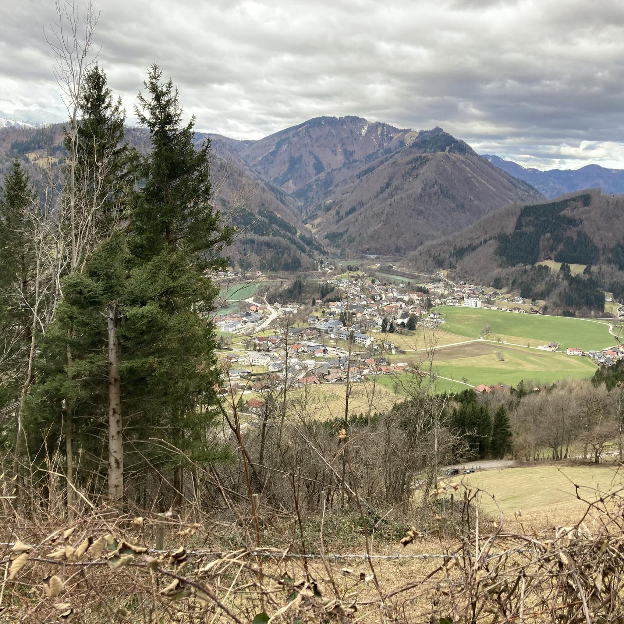
Cycling around Großraming
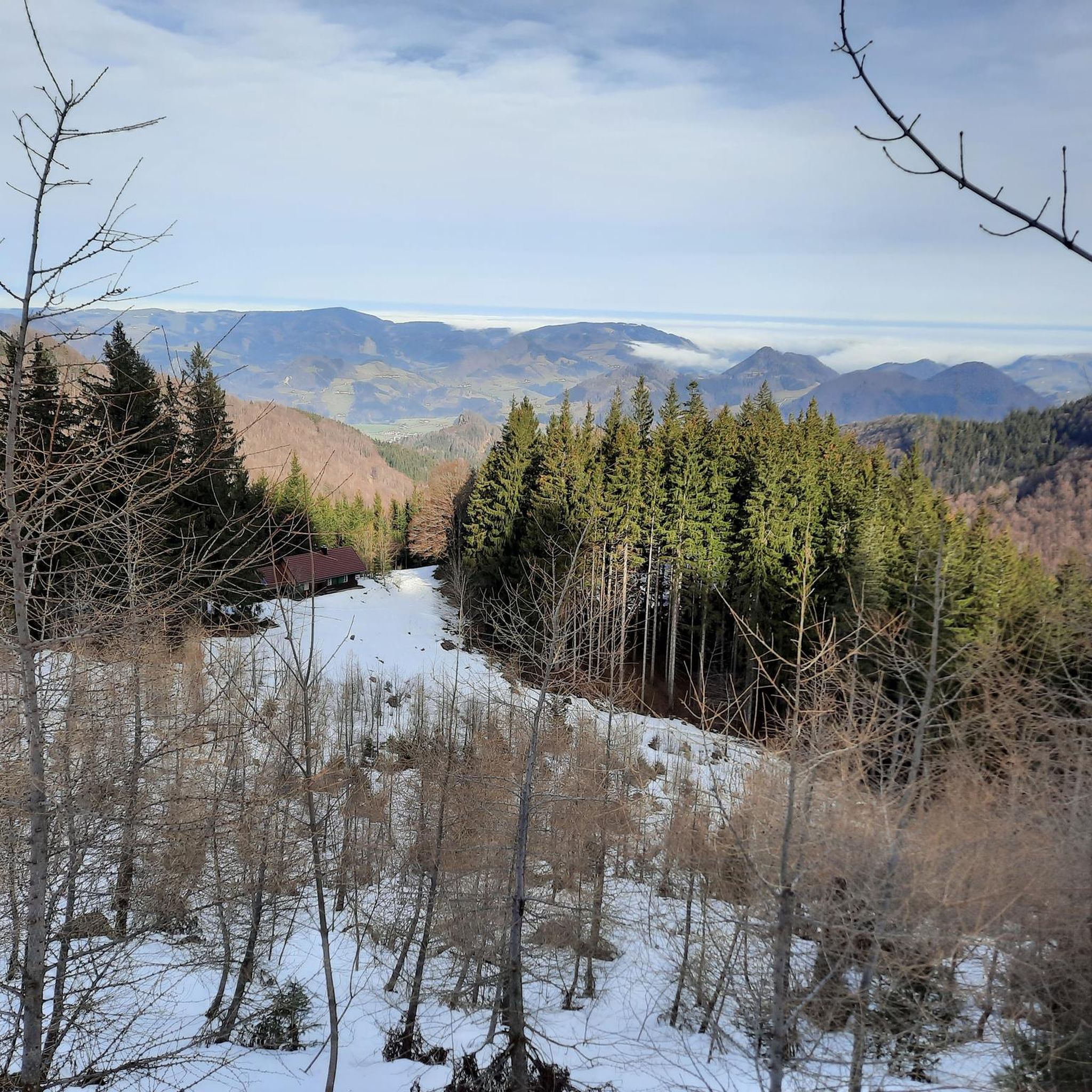
MTB Trails around Großraming
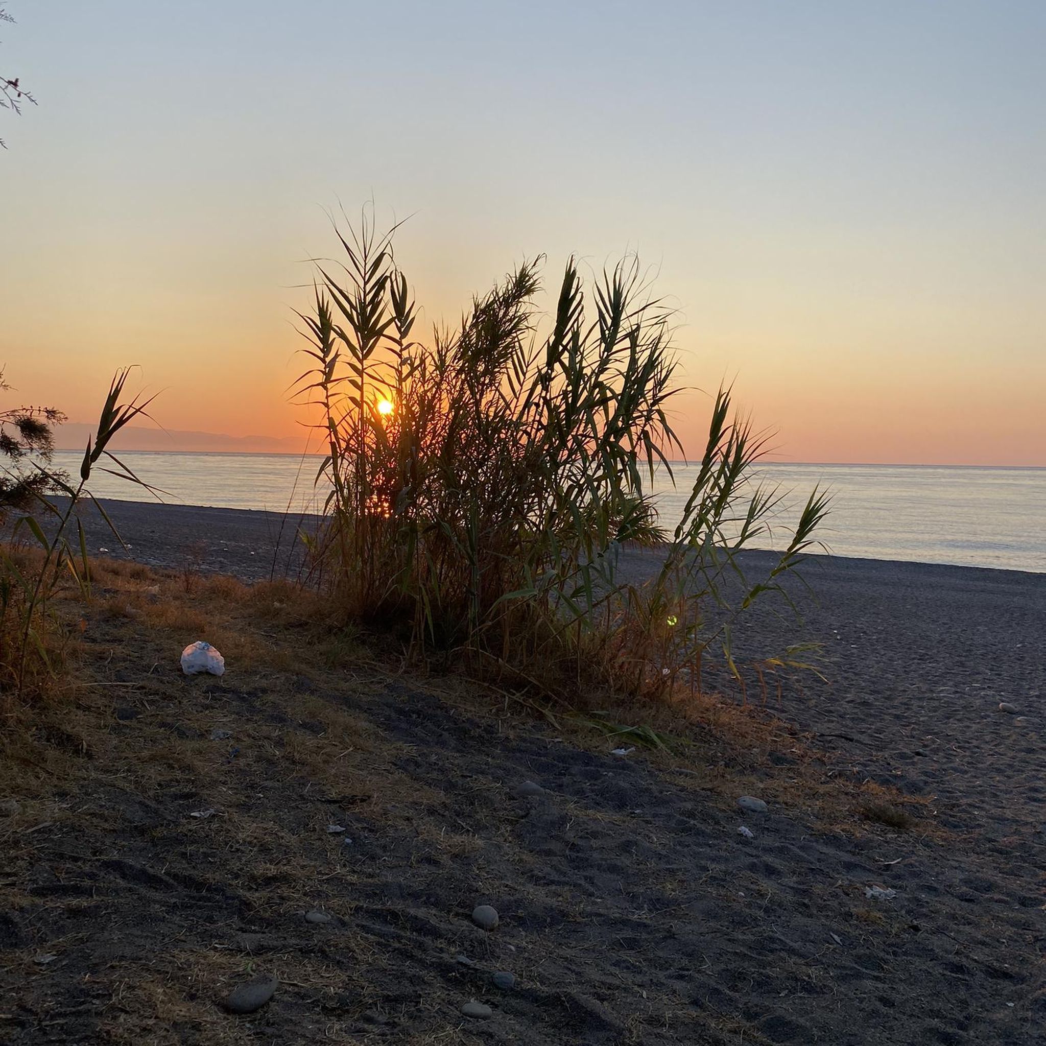
Gravel biking around Großraming

Mountain Hikes around Großraming
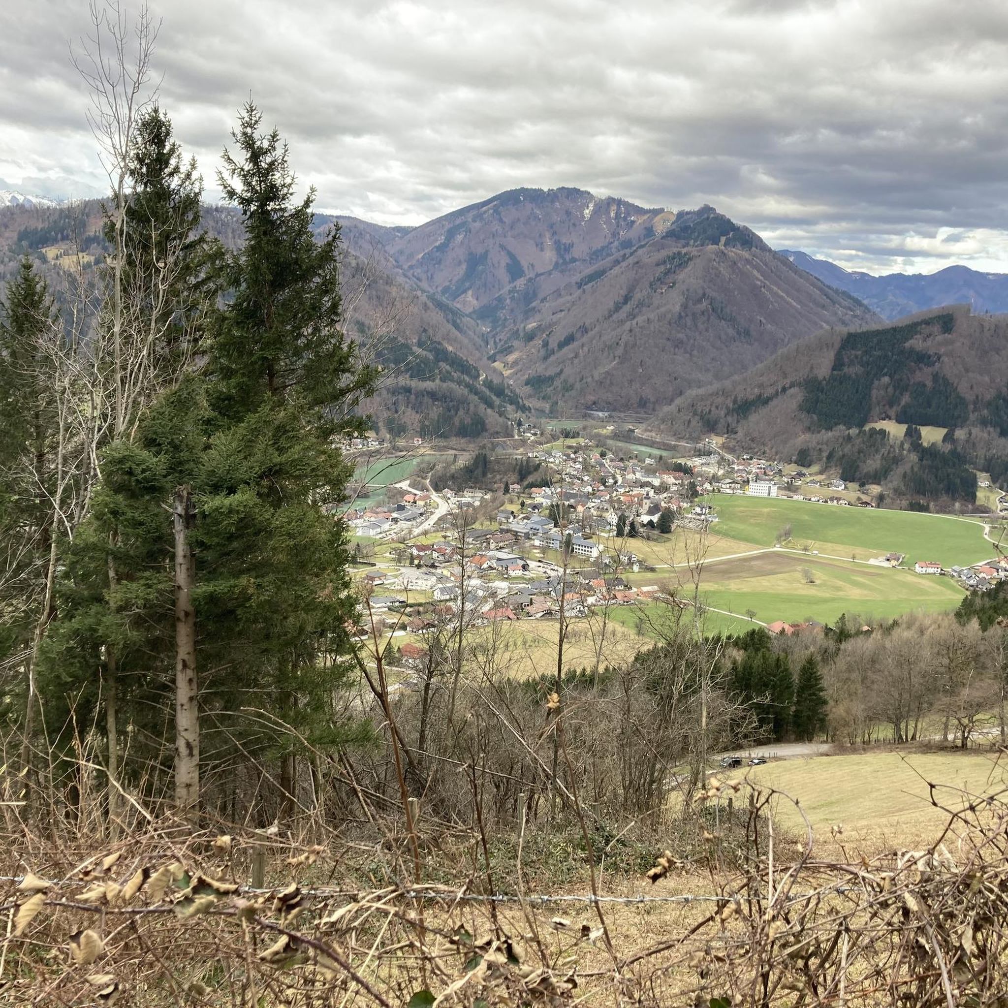
Running Trails around Großraming
Other adventures around Großraming


Tips from the Community

The scenery is very beautiful, but the riding technique and terrain are definitely not up to the challenge of mountain biking!!!! What a pity😩
0
0

With the bypass, the market square has become less traffic-intensive
1
0

Although a bit dated, it is an idyllic place
0
0
Waidhofen is always worth a stay
1
0

Beautiful small community along the Ybbstal cycle path.
2
0
Looks quite nice when you drive past, although I haven't been swimming yet.
0
0

Beautiful square with a fountain in the center of Weyer. The street and the square are lined with charming, brightly painted historic buildings.
1
0

Very nice and not very busy - very relaxing. No problem with 32 tyres
0
0
Frequently Asked Questions
How many road cycling routes are available around Großraming?
There are over 15 road cycling routes around Großraming listed on komoot, offering a variety of experiences for different skill levels. These include routes through river valleys, forested areas, and the foothills of the Kalkalpen National Park.
What kind of terrain can I expect on road cycling routes in Großraming?
Road cycling around Großraming features diverse landscapes, from the valleys of the Enns River to the foothills of the Kalkalpen National Park. You'll encounter a mix of rolling terrain, forested areas, and routes that follow river courses, with varied elevation profiles ranging from moderate climbs to more challenging ascents.
Are there challenging road cycling routes for experienced riders in Großraming?
Yes, Großraming offers several challenging road cycling routes. For instance, the At the Gaflenzbach – Hollenstein an der Ybbs loop from Großraming is a difficult 86.6 km trail with significant elevation gain through the scenic Gaflenzbach area.
Are there any moderate road cycling routes suitable for most fitness levels?
Absolutely. Many routes around Großraming are moderate. The At the Gaflenzbach – Gaflenz Church loop from Großraming is a popular moderate 57.2 km path offering a balanced ride through river valleys and past local landmarks. Another option is the Reichraming Village Center – At the Gaflenzbach loop from Großraming, a moderate 39.3 km route.
What natural features or landmarks can I see along the road cycling routes?
Road cycling routes in Großraming often pass by stunning natural features and points of interest. You can enjoy views of the Enns River and the Kalkalpen National Park. Notable attractions include the Lindaumauer Summit, offering panoramic vistas, and the unique Tunnel Chain of the Reichraming Forest Railway, though this is more suited for gravel or mountain biking. The Schleierfall Waterfall is also a prominent natural attraction in the Reichraminger Hintergebirge.
Are there any circular road cycling routes around Großraming?
Yes, many of the road cycling routes around Großraming are designed as loops. Examples include the At the Gaflenzbach – Hollenstein an der Ybbs loop from Großraming and the Freithofberg viewpoint loop from Großraming, which offers panoramic views.
What do other road cyclists enjoy most about road cycling in Großraming?
The road cycling routes around Großraming are highly rated by the komoot community, with an average score of 4.6 stars from over 28 reviews. Cyclists often praise the diverse landscapes, the scenic river valleys, and the challenging ascents through the Upper Austrian countryside.
Is Großraming suitable for family-friendly road cycling?
While many road cycling routes in Großraming feature varied terrain and significant elevation, some sections of paths like the Ennsradweg or Steyrtalradweg offer flatter, more accessible options that could be suitable for families, especially if focusing on shorter segments. Always check the route's difficulty and elevation profile before setting out with children.
When is the best time of year for road cycling in Großraming?
The best time for road cycling in Großraming is typically from spring through autumn. During these seasons, the weather is generally mild, and the natural beauty of the Kalkalpen National Park and river valleys is at its peak. Winter cycling can be challenging due to snow and ice, especially on higher elevation routes.
Are there viewpoints along the road cycling routes in Großraming?
Yes, several routes offer excellent viewpoints. The Freithofberg viewpoint loop from Großraming is specifically known for its panoramic vistas. Other routes provide views of the Lumplgraben and the peaks of the Haller Mauern and Hoher Nock, particularly in the foothills of the Kalkalpen National Park.
Can I access road cycling routes in Großraming using public transport?
Großraming is connected by public transport, which can facilitate access to various starting points for road cycling routes. The Enns Cycle Path, for example, offers good connections and can be reached via public transport, allowing for multi-day cycling adventures or starting points for day trips.
Where can I find parking for road cycling in Großraming?
Parking options are generally available in and around Großraming, particularly near the village center or designated trailheads. It's advisable to check local signage for specific parking regulations and availability, especially when planning to start a longer route.
Most popular routes around Großraming
Most popular attractions around Großraming

Get inspired with the komoot mobile app


Explore more
Browse the best Road cycling routes in other regions.
