The best road cycling routes in Río Abajo
4.0
(4)
112
riders
3
rides
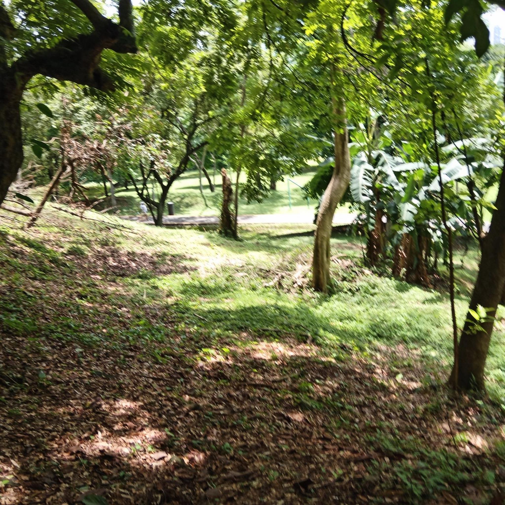
Road cycling routes in Río Abajo traverse a region characterized by its unique karst topography, featuring steep limestone hills known as mogotes and deep valleys. The area, situated in north-central Puerto Rico, includes the Río Abajo State Forest, which offers a rugged and scenic environment with significant elevation changes. Paved roads in the surrounding municipalities of Arecibo and Utuado provide challenging routes for road cyclists. The landscape also incorporates lush forests and natural features like the Tanamá River and Dos…
Last updated: July 15, 2026
50
riders
90.0km
04:13
840m
840m
Moderate road ride. Good fitness required. Mostly well-paved surfaces and easy to ride.
36
riders
36.9km
01:44
300m
300m
Easy road ride. Great for any fitness level. Mostly well-paved surfaces and easy to ride.

Sign up for free
4.0
(4)
26
riders
Easy road ride. Great for any fitness level. Mostly well-paved surfaces and easy to ride.
Our route recommendations are based on thousands of hikes, rides, and runs completed by other people on komoot.
Start today with a free account
Your next adventure awaits.
Login or Signup
Popular around Río Abajo


Tips from the Community

Colorful Panama sign on the lake promenade. It is a well-known photo motif for tourists. The surroundings offer a mix of modern skyscrapers and historic city districts.
0
0
Absolutely impressive skyline, thanks to the newly laid out road, you drive an arc over the sea and from there you have a view of the old town on the left and the new town on the right.
2
0

Drive with caution on Sundays as there are many beginners using the road and many do not follow traffic rules. However, it is still an excellent road to practice your favorite sport.
1
0

Huge letters of the Country/City name, in front of the skyline and the park overlooking the waterfront
3
0

Great view of the Panama City skyline
1
2
Great view of the Panama City skyline
1
0
The tall colorful letters stand along the waterfront on a small elevation overlooking the middle of the Cinta Costera park and trails
4
1
Frequently Asked Questions
What kind of terrain can I expect on road cycling routes in Río Abajo?
Río Abajo is characterized by its unique karst topography, featuring steep, rounded limestone hills known as mogotes, and deep valleys. You'll encounter significant elevation changes, making for a rugged and scenic environment. The routes primarily use paved roads in the surrounding municipalities of Arecibo and Utuado, offering a challenging and picturesque experience.
How many road cycling routes are available in Río Abajo?
There are 4 road cycling routes detailed in this guide for Río Abajo, catering to both easy and moderate ability levels. These routes are highly rated by the komoot community, with an average score of 5.0 stars.
Are there any easy road cycling routes for beginners in Río Abajo?
Yes, Río Abajo offers routes suitable for beginners. For example, the Cardenas Cycling Meeting Point loop from El Ingenio is an easy 22.9-mile (36.9 km) path that provides scenic views without being overly strenuous. Another easy option is the View of Panama City skyline – View of the Panama City skyline loop from El Chorrillo, which is 8.1 miles (8.1 km) long.
What are some challenging road cycling routes in Río Abajo?
For those seeking a challenge, routes like the Panama City Temple – Cardenas Cycling Meeting Point loop from Brisas Del Golf offer significant elevation gain over its 56.0 miles (90.1 km). The region's mountainous and rugged karstic terrain naturally provides demanding ascents on many paved roads.
What natural features or landmarks can I see along the road cycling routes?
While cycling the paved roads around Río Abajo, you'll experience lush forests and the distinctive mogotes. The broader region also features natural attractions like the Tanamá River and Dos Bocas Lake. In nearby areas, you can explore cultural landmarks such as Plaza de Francia and the Metropolitan Cathedral of Panama.
Are there any scenic viewpoints on the road cycling routes?
The rugged and scenic environment of Río Abajo, with its karst topography and elevation changes, naturally offers many picturesque views of lush forests and mogotes. While specific viewpoints are not always marked on road routes, the varied terrain ensures a constantly changing and beautiful landscape. You might also find panoramic views from higher elevations, such as Cerro Cedro in the vicinity.
What is the best time of year to go road cycling in Río Abajo?
Río Abajo, being in a subtropical wet and moist forest, generally offers year-round cycling opportunities. However, it's always advisable to check local weather forecasts, especially during the rainy season, to ensure optimal conditions for your ride. The varied altitude, with jumps between 700ft and 1400ft, means conditions can vary slightly across the region.
Are there any loop road cycling routes in Río Abajo?
Yes, several routes in Río Abajo are designed as loops. For instance, the Panama City Temple – Cardenas Cycling Meeting Point loop from Brisas Del Golf and the Cardenas Cycling Meeting Point loop from El Ingenio are both excellent loop options, allowing you to start and finish at the same point.
What do other road cyclists enjoy most about road cycling in Río Abajo?
The komoot community highly rates road cycling in Río Abajo, with an average score of 5.0 stars. Cyclists often praise the unique karst topography, the challenging ascents, and the scenic beauty of the lush forests and mogotes. The availability of both easy and moderate routes also makes it appealing to a range of abilities.
Are there options for shorter road cycling routes in Río Abajo?
Yes, if you're looking for a shorter ride, the View of Panama City skyline – View of the Panama City skyline loop from El Chorrillo is an easy 8.1-mile (8.1 km) loop. Another moderate option for a shorter ride is the Flower Shop in Panama – Cárdenas Cycling Meeting Point loop from Fernández de Córdoba, which is 24.1 miles (38.8 km) long and can be completed in about 2 hours 14 minutes.
Most popular routes in Río Abajo
Most popular attractions in Río Abajo

Get inspired with the komoot mobile app


Explore more
Browse the best Road cycling routes in other regions.
