The best cycling routes in Dolega
31
riders
7
rides
Touring cycling in Dolega, situated in Panama's Chiriquí province, features a diverse topography ranging from hilly to mountainous terrain. The region's landscape includes undulating roads and significant elevation changes, providing varied challenges for cyclists. Proximity to the Chiriquí Highlands and Volcán Barú National Park offers access to cloud forests and rivers, contributing to scenic routes. This area is characterized by its natural features, making it suitable for touring cyclists seeking diverse physical experiences.
Best touring cycling routes in Dolega
- The…
Last updated: July 3, 2026
8
riders
50.1km
03:07
410m
410m
Moderate bike ride. Good fitness required. Mostly paved surfaces. Suitable for all skill levels.
5
riders
27.1km
01:38
210m
210m
Moderate bike ride. Good fitness required. Mostly paved surfaces. Suitable for all skill levels.

Sign up for free
4
riders
13.4km
00:55
110m
110m
Easy bike ride. Great for any fitness level. Mostly paved surfaces. Suitable for all skill levels.
3
riders
23.5km
01:21
110m
110m
Easy bike ride. Great for any fitness level. Mostly paved surfaces. Suitable for all skill levels.
3
riders
41.8km
03:12
920m
920m
Hard bike ride. Very good fitness required. Mostly paved surfaces. Suitable for all skill levels.
Get access to more routes and recommendations from other explorers.
Sign up for free
Already have an account?
Our route recommendations are based on thousands of hikes, rides, and runs completed by other people on komoot.
Start today with a free account
Your next adventure awaits.
Login or Signup
Popular around Dolega
Tips from the Community

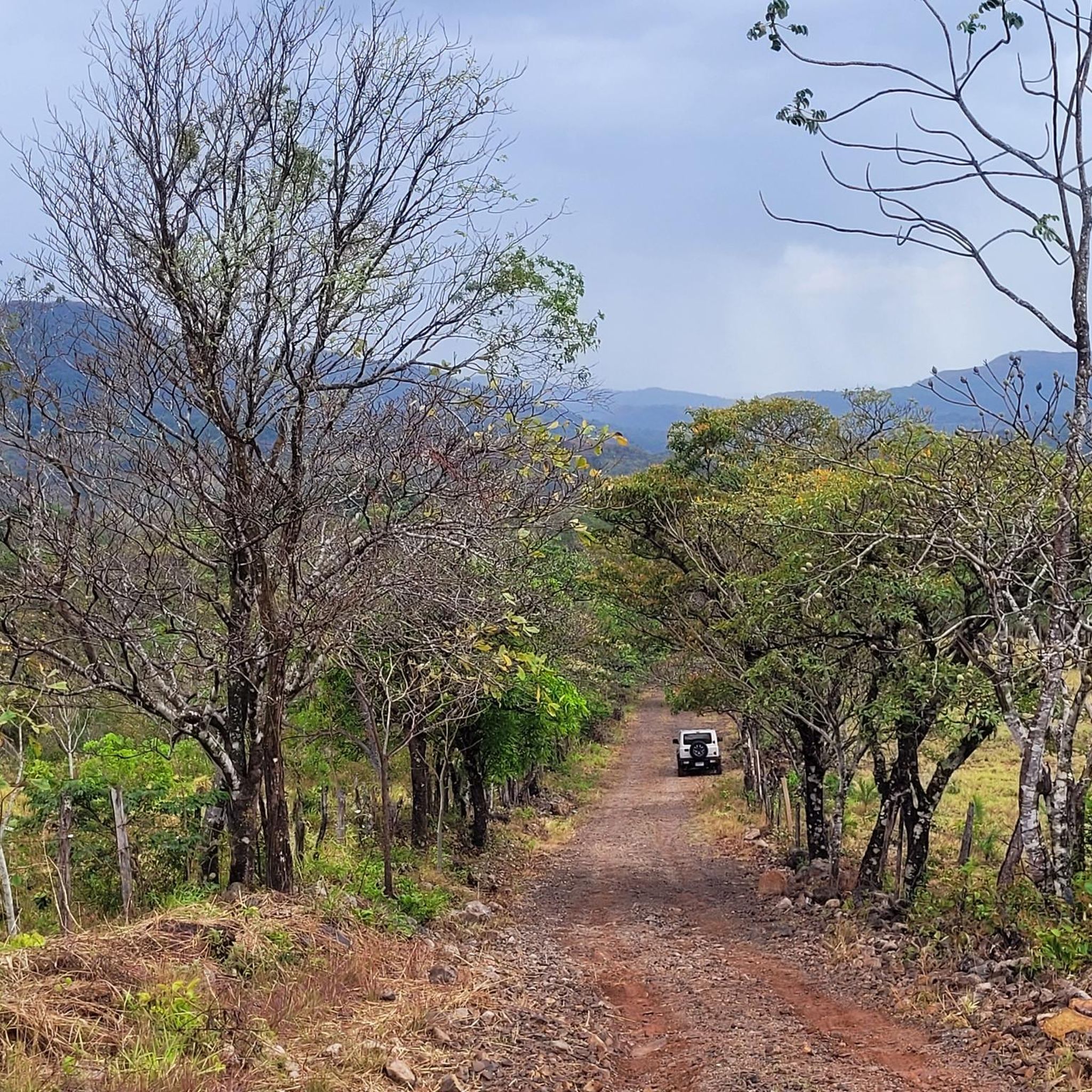
This is a reservoir created by the construction of a dam in the caldera river. Beautiful scenery surrounded by big trees and beautiful mountains.
0
0
Navigate with your bike next to a water channel surrounded by beautiful trees and great views. Keep eyes open, sometimes cows go drink water at the spot.
0
0
Stunning views of the tallest mountain in the country sitting at 3,474 meters high (11,398 ft). An active stratovolcano that allows to see both oceans from the top. This is the twelfth highest peak in Central America. There are at least 250 different species of animals identified so far. Including Toucan, quetzal, jaguar, black and white hawk-eagle, and the hummingbird.
0
0
Estrella-Los Valles hydroelectric in Caldera river built in the 1970’s.
0
0
Beautiful views of the volcano and the river from the Wilson bridge.
0
0
Frequently Asked Questions
What kind of terrain can I expect when touring cycling in Dolega?
Dolega offers a diverse topography, ranging from hilly to mountainous terrain. You'll encounter undulating roads and significant elevation changes, providing varied challenges. The region's proximity to the Chiriquí Highlands means you can expect routes through cloud forests and along rivers, offering both physical engagement and scenic beauty.
Are there any easy touring cycling routes suitable for beginners or families in Dolega?
Yes, Dolega has options for easier rides. For instance, the Bike loop from Aqualina is an easy 13.4 km route with moderate elevation, taking about 55 minutes. Another accessible option is the Bike loop from San Pablo Viejo, which is 23.5 km long and also rated as easy.
What are some challenging touring cycling routes in Dolega for experienced riders?
Experienced touring cyclists looking for a challenge will find routes with significant elevation gains. The Cerro Perico – Wilson Bridge loop from La Rocalla is a difficult 41.8 km trail with over 900 meters of elevation gain, typically completed in about 3 hours and 12 minutes. This route navigates through demanding hilly terrain.
Are there circular touring cycling routes available in Dolega?
Yes, many of the touring cycling routes in Dolega are designed as loops, allowing you to start and end at the same point. Examples include the Bike loop from David, a 50.1 km moderate route, and the Bike loop from Madre Terra, a 27.1 km moderate path.
What natural attractions or scenic viewpoints can I expect along the cycling routes?
Dolega's routes offer access to the rich biodiversity of the Chiriquí Highlands. You can expect panoramic views of the surrounding countryside, especially on higher elevation routes. The region is known for its cloud forests, rivers descending from Volcán Barú, and opportunities for birdwatching, including the resplendent quetzal. Picturesque waterfalls are also a feature of the area, providing scenic stops.
When is the best time of year to go touring cycling in Dolega?
Dolega generally experiences pleasant weather for cycling. While warmer than the highlands, it's cooler than coastal areas, with daytime temperatures often around 85°F (29°C). This makes it comfortable for cycling, though staying hydrated is important. The region's climate is generally favorable, but it's always wise to check local forecasts for specific conditions.
How many touring cycling routes are available in Dolega?
There are several touring cycling routes in Dolega, with komoot featuring 7 distinct options. These routes cater to various skill levels, from easy to difficult, ensuring there's something for every touring cyclist.
What should I know about elevation and climbs on Dolega's touring cycling routes?
Dolega is characterized by its hilly to mountainous landscape, meaning you will encounter significant climbs. Specific climbs like the 'Vía Boquete Climb' are known in the region. Routes can feature elevation gains ranging from over 100 meters on easier paths to more than 900 meters on difficult ones, providing a good workout and rewarding views.
Are there places to eat or get refreshments along the touring cycling routes in Dolega?
As Dolega offers a more authentic rural setting, you'll find opportunities to stop at local 'tiendas' for refreshments. While specific cafes or restaurants directly on every route aren't detailed, the local culture encourages interaction, and you can often find small shops in villages along your journey.
Is Dolega a good destination for cyclists interested in local culture?
Absolutely. Touring cyclists in Dolega can immerse themselves in the local Panamanian culture. Being a less urbanized area, it offers a more authentic rural experience. Stopping at local 'tiendas' and interacting with friendly locals adds a unique dimension to the touring experience, allowing you to connect with the community.
What do other touring cyclists enjoy most about cycling in Dolega?
Over 30 touring cyclists have explored Dolega using komoot. They often appreciate the region's diverse terrain, which offers a good mix of challenges and scenic beauty. The undulating roads, cloud forests, and rivers contribute to a varied and engaging cycling experience.
Can I reach the touring cycling routes in Dolega using public transport?
While specific public transport links to every trailhead are not detailed, Dolega is part of the Chiriquí province, which has a general appreciation for cycling. Depending on your starting point, local buses or shared taxis might provide access to the general vicinity of some routes, but direct access might require personal transport.
Most popular routes in Dolega

Get inspired with the komoot mobile app


Explore more
Browse the best Cycling routes in other regions.
