The 20 Most Amazing Peaks around Ringgau
Best mountain peaks around Ringgau are found within a picturesque low mountain range, characterized by its Muschelkalk-Hochplateau geology. This region, located primarily in Hesse and partly in Thuringia, offers diverse natural beauty and historical sites. It is a destination for hikers and nature enthusiasts, featuring a well-developed network of trails and notable elevations. The Ringgau provides opportunities to explore both natural landscapes and historical landmarks.
Best mountain peaks around Ringgau
- The most popular mountain peaks is Heldrastein and view of…
Last updated: August 16, 2026
Heldrastein and view of the Werra valley
Highlight • Viewpoint
Translated by Google •
Tip by

Ziegenküppel Observation Tower
Highlight • Viewpoint
Translated by Google •
Tip by

Sign up now to discover places like this
Get recommendations on the best single tracks, peaks, & plenty of other exciting outdoor places.
Sign up for free
Pioneer Tower Mäuseberg
Highlight • Viewpoint
Pioneer tower
Soldiers from the 1st Command of the Pioneer Battalion 29 from Hann. Münden built the first observation tower on the Mäuseberg. In 1937 the 12.50 m …
Translated by Google •
Tip by

Summit Bench and Cross at Spitzenberg
Highlight • Summit
Translated by Google •
Tip by

Kahler Berg (Keuper Hill)
Highlight • Natural Monument
Translated by Google •
Tip by

Sign up for free to discover even more peaks around Ringgau.
Sign up for free
Already have an account?
Start today with a free account
Your next adventure awaits.
Login or Signup
Popular around Ringgau

Wonderful Green Band
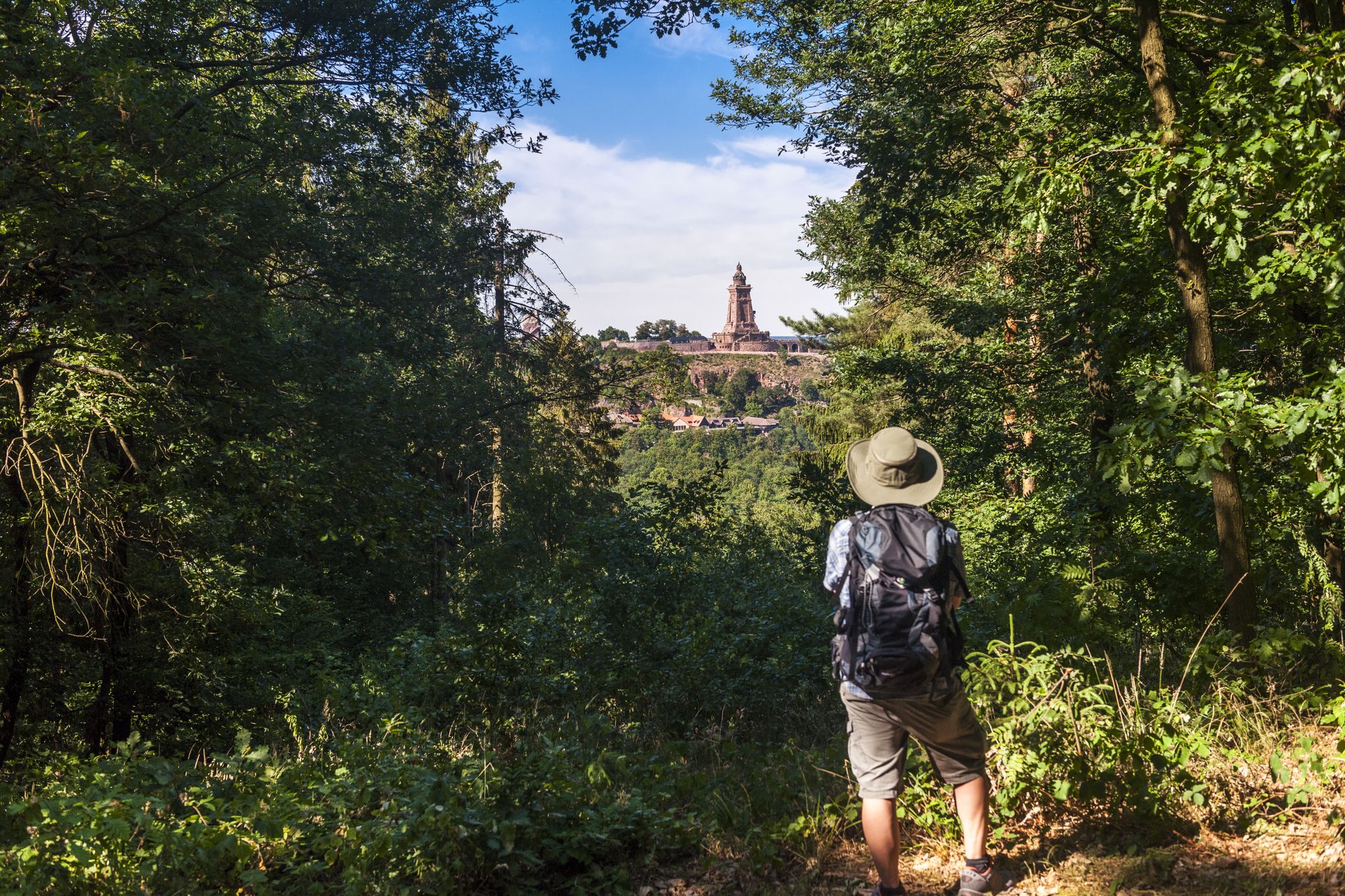
Hiking in Germany’s Kyffhäuser hills – 15 days on the Barbarossa Trail
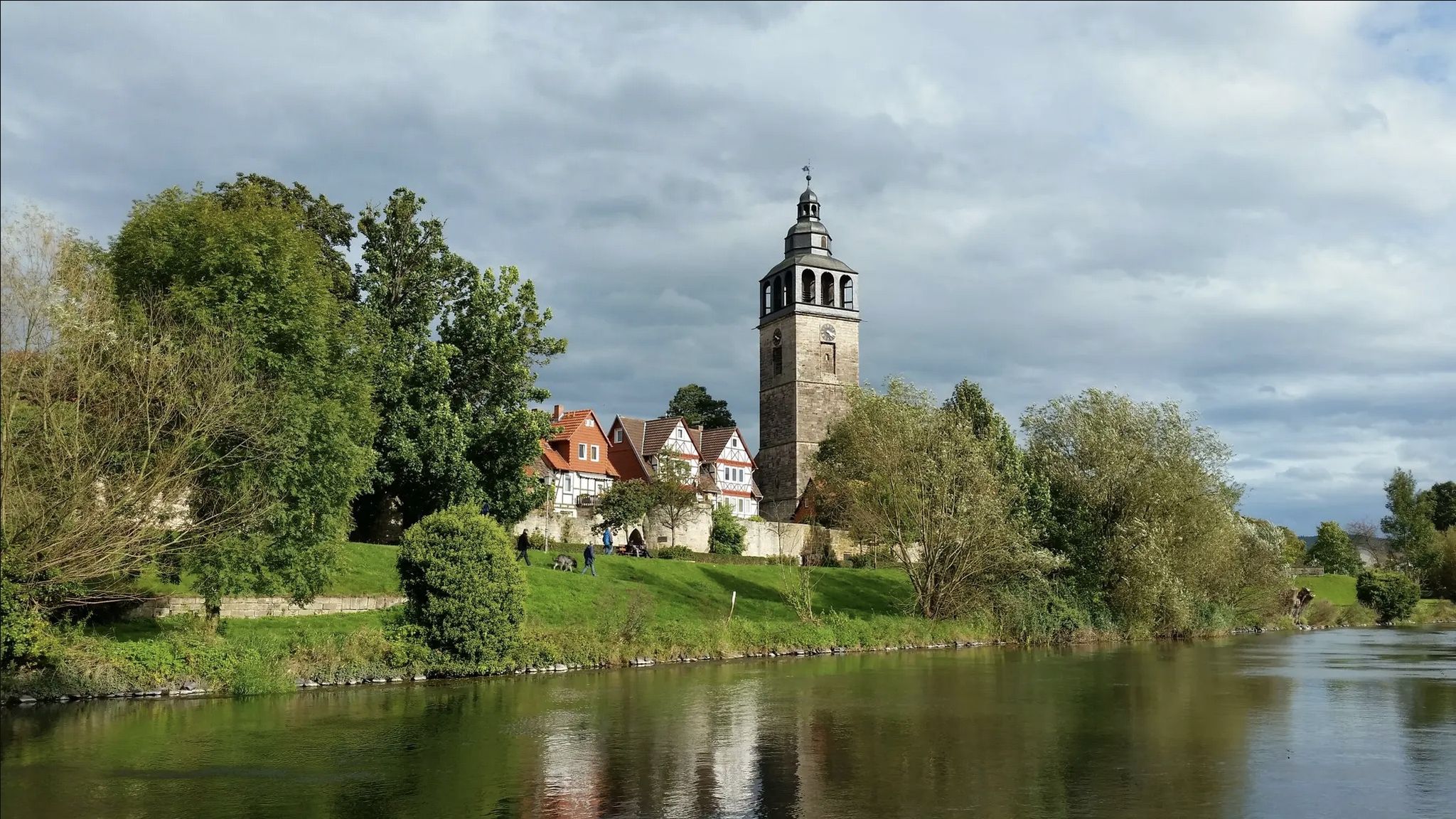
Werra-Burgen-Steig trail – castles and forests in 3 states
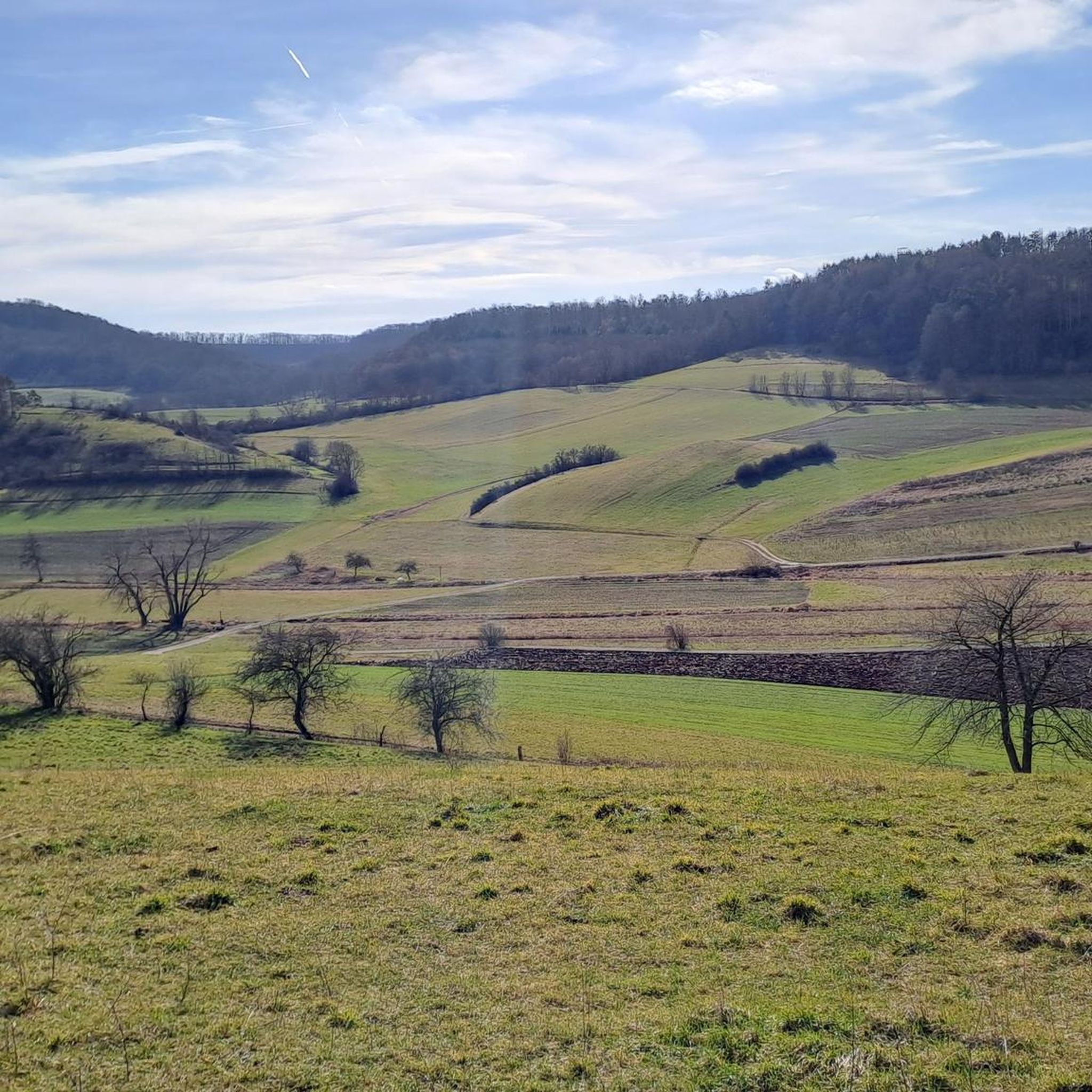
Hiking around Ringgau
Cycling around Ringgau
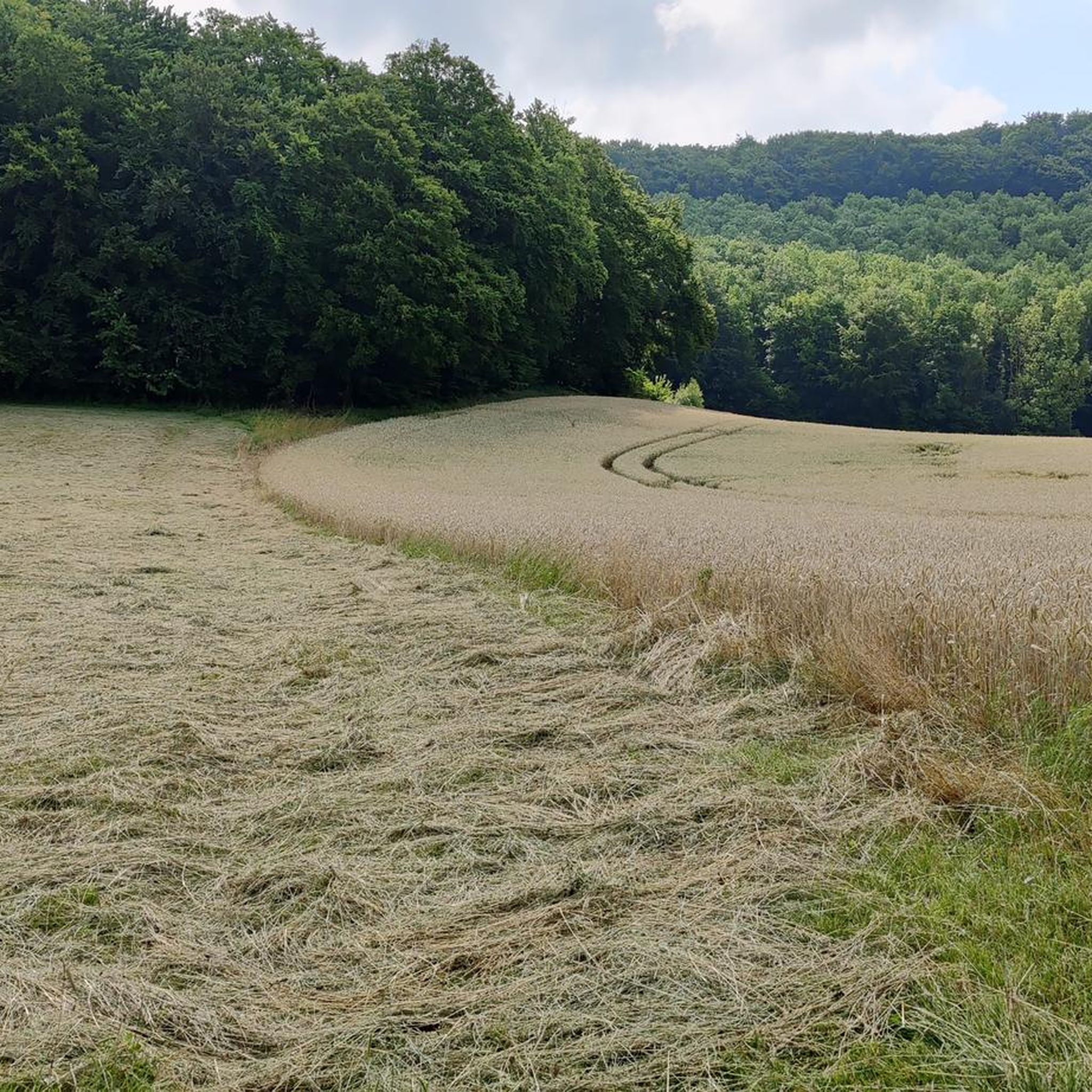
MTB Trails around Ringgau
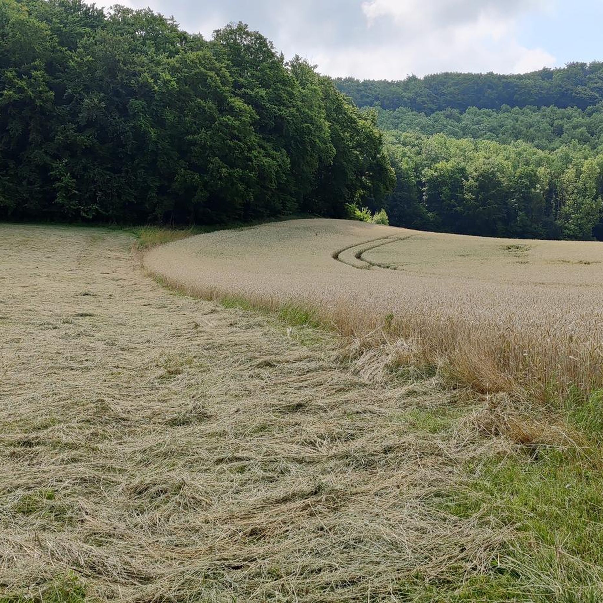
Road Cycling Routes around Ringgau
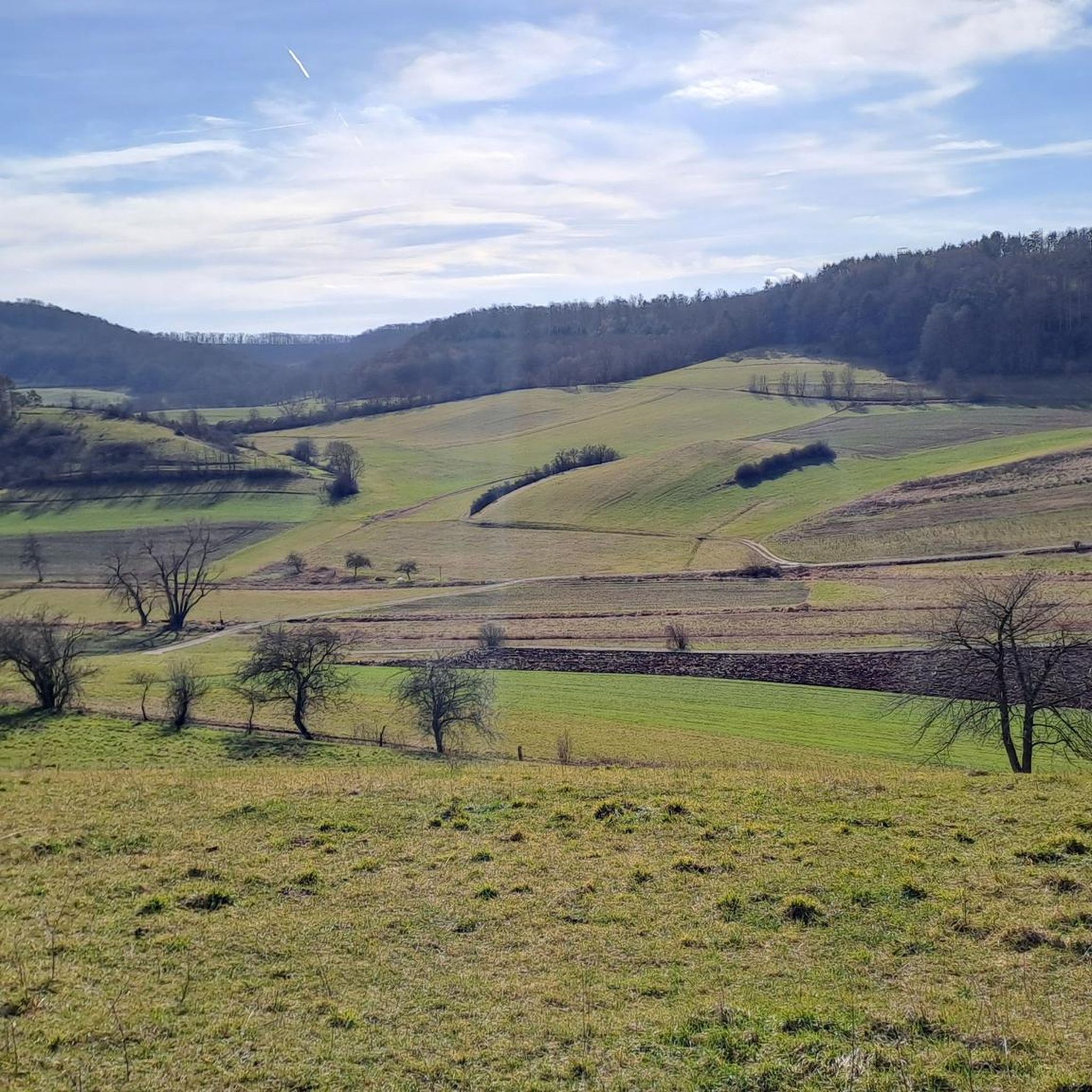
Running Trails around Ringgau

Gravel biking around Ringgau


Tips from the Community

Here at the summit cross there is also a summit book to sign 😊! Great!
1
0

The Kahle Berg is climbed during a hike on the P21. More precisely, a short and crisp ascent path that makes it clear which geological rock layer you are hiking on. A barren, reddish-colored stone hill, with sparse grasses and bushes. You should take the detour to the edge of the hill and enjoy the beautiful view.
1
0

Summit cross with entry book :D
0
0

Resting bench at the Spitzeberg summit with a great view.
3
0

The Kahler Berg is called "kahl" for a reason: it is a nutrient-poor Keuperhügel on which only undemanding herbs and grasses grow, which, however, have become very rare these days. This makes this hill a geological feature.
1
0

Nice view over the Frau Holle Land.
2
1

The mountain is not that bare at the top, the way up here is definitely worth it. Both observation towers can be seen, point india and border tower Ifta (BT6 4x4) "A geological feature is the Keuper hill Kahler Berg near Ifta. Only undemanding herbs and grasses grow on the nutrient-poor Keuper, which have become very rare today. You will find a retreat here." ↗nature parkfrauholle.land
2
0

The short climb is worth it. From here, depending on the vantage point, you have a view of OP Point India (US or FRG side, today Hesse) and the Ifta border tower (GDR side, today Thuringia).
2
0
Frequently Asked Questions
What are some of the most popular mountain peaks to visit in the Ringgau region?
The Ringgau region offers several notable peaks. The Rabenkuppe, as the highest mountain on the plateau, provides impressive panoramic views. Another popular spot is the Boyneburg, known for its historical castle ruins and scenic trails. For breathtaking views extending to the Thuringian Forest, the Schickeberg with its viewing platform is highly recommended. Additionally, komoot users frequently visit Heldrastein and view of the Werra valley, which offers expansive views and insights into German-German history.
Are there any historical sites or landmarks on the mountain peaks in Ringgau?
Yes, the Ringgau region is rich in history. The Boyneburg is home to the ruins of Boyneburg Castle, a significant high medieval imperial castle. This protected monument offers a glimpse into imperial and state history, with archaeological excavations having taken place there. An annual 'Brotspende' festival is also held at the castle ruins on Ascension Day. The Heldrastein also features the 'Tower of Unity,' an observation tower converted from a former monitoring system, with an exhibition about border installations from the German-German division.
What kind of views can I expect from the mountain peaks in Ringgau?
The mountain peaks in Ringgau offer diverse and expansive views. From the Rabenkuppe, you can enjoy panoramic vistas over the Ringgau to the Meißner mountain. The Schickeberg features a viewing platform that provides breathtaking views over the entire surrounding area, reaching as far as the Thuringian Forest. For a 360° panoramic view of the Geo-nature park Frau Holle-Land, including the Hohe Meißner and Stölzinger Mountains, visit the Pioneer Tower Mäuseberg. The Ziegenküppel Observation Tower is also praised for its wonderful vision in all directions.
Are there family-friendly hiking options around the Ringgau peaks?
Absolutely. The Ringgau region provides various hiking opportunities suitable for families. Trails leading to the Boyneburg ruins, for instance, offer different levels of difficulty, including routes suitable for families with small children starting from the Boyneburg (Grandenborn) hiking car park. The area around Schickeberg also has numerous hiking opportunities, from easy walks to more challenging tours, including themed trails like 'The Path of Water' which are ideal for families and nature lovers. The Ziegenküppel Observation Tower is also considered family-friendly by komoot users.
What are the natural features and wildlife I might encounter in the Ringgau mountain area?
The Ringgau region is characterized by its Muschelkalk-Hochplateau geology, extensive forests of needle and deciduous trees, and diverse natural beauty. The Boyneburg and Schickeberg area is a designated nature reserve and a Fauna-Flora-Habitat (FFH area), boasting rich flora and fauna, including rare plant and animal species. You can find important yew tree populations on natural sites, particularly in the difficult-to-access, steep forest areas, some of which exhibit near-primeval conditions. The Kahler Berg (Keuper Hill) is also a geological feature known for its nutrient-poor Keuper soil, supporting rare herbs and grasses.
What outdoor activities can I do near the mountain peaks in Ringgau?
Beyond hiking, the Ringgau region offers a variety of outdoor activities. The well-developed network of trails is suitable for both hiking and cycling. You can explore road cycling routes like those found in the Road Cycling Routes around Ringgau guide, or try gravel biking with options available in the Gravel biking around Ringgau guide. For runners, there are dedicated Running Trails around Ringgau, offering routes of varying distances and difficulties.
Are there any challenging hiking trails in the Ringgau mountains?
Yes, the Ringgau region caters to various hiking preferences, including more challenging tours. While specific challenging routes are not detailed for individual peaks, the area around Schickeberg offers a range of hiking opportunities from easy walks to more demanding excursions. The dense network of hiking trails, including parts of the Barbarossaweg and European long-distance walking route E6, provides ample opportunities for longer and more strenuous hikes across the region's varied terrain.
What is the highest mountain peak in the Ringgau region?
The highest mountain on the Ringgau plateau is the Rabenkuppe, standing at 514.8 meters. It offers impressive panoramic views over the Ringgau to the Meißner mountain and is a prime location for expansive views of the surrounding natural landscape.
What do visitors enjoy most about the mountain peaks in Ringgau?
Visitors particularly appreciate the breathtaking panoramic views, the rich historical significance, and the diverse natural landscapes. Komoot users highlight the 'wonderful vision in all directions' from spots like the Ziegenküppel Observation Tower and the 'great 360° panoramic view' from the Pioneer Tower Mäuseberg. The historical context of sites like the Heldrastein, with its story of the German-German division, also adds a unique dimension to the experience.
Are there any unique or 'hidden gem' viewpoints in the Ringgau area?
While not strictly 'hidden,' the Ziegenküppel Observation Tower is considered a 'secret tip' among the viewpoints of Northern Hesse by komoot users, offering wonderful distant views. The Schickeberg also features a viewing platform that provides extensive views over the surrounding area, which might be less frequented than other well-known spots. The Summit Bench and Cross at Spitzenberg offers a unique alpine atmosphere and a great view, set up by a local family.
Can I find circular hiking routes around the Ringgau mountains?
Yes, the Ringgau region is well-suited for circular walks. The area boasts a dense network of hiking trails, many of which are designed as circular routes. For example, the 'Breitauer Panoramaweg' near Schickeberg offers magnificent views and information about local species, likely as a circular path. The overall trail network, including parts of the European long-distance walking route E6, provides numerous possibilities for creating or following circular routes through the diverse landscapes.
Most popular routes around Ringgau
Most popular attractions around Ringgau

Get inspired with the komoot mobile app


Explore more
See even more amazing summits around Ringgau with these guides:
