The best road cycling routes in Chacao
3.8
(17)
173
riders
9
rides
Road cycling in Chacao, a municipality within the Caracas Valley, offers varied terrain for cyclists. The region is situated against the Venezuelan coastal mountain range, providing a backdrop of hills and mountains to the south. This geographical setting allows for routes with significant elevation changes, connecting urban areas with natural features. Proximity to the 2,200-meter-high Cerro El Ávila, part of the Avila National Park, contributes to challenging ascents and descents.
Best road cycling routes in Chacao
- The most popular road…
Last updated: July 2, 2026
4.6
(15)
83
riders
51.3km
02:30
640m
640m
Moderate road ride. Good fitness required. Mostly well-paved surfaces and easy to ride.
3.0
(2)
36
riders
38.8km
02:13
810m
810m
Moderate road ride. Good fitness required. Mostly well-paved surfaces and easy to ride.

Sign up for free
10
riders
59.4km
03:17
1,160m
1,160m
Hard road ride. Very good fitness required. Mostly well-paved surfaces and easy to ride.
9
riders
26.8km
01:35
620m
620m
Moderate road ride. Good fitness required. Mostly well-paved surfaces and easy to ride.
8
riders
45.5km
02:35
950m
950m
Hard road ride. Very good fitness required. Mostly well-paved surfaces and easy to ride.
6
riders
27.6km
01:52
860m
860m
Moderate road ride. Good fitness required. Mostly well-paved surfaces and easy to ride.
10
riders
18.8km
00:50
140m
140m
Easy road ride. Great for any fitness level. Mostly well-paved surfaces and easy to ride.
5
riders
20.8km
01:18
510m
510m
Moderate road ride. Good fitness required. Mostly well-paved surfaces and easy to ride.
5
riders
28.0km
01:21
370m
370m
Moderate road ride. Good fitness required. Mostly well-paved surfaces and easy to ride.
Our route recommendations are based on thousands of hikes, rides, and runs completed by other people on komoot.
Start today with a free account
Your next adventure awaits.
Login or Signup
Popular around Chacao

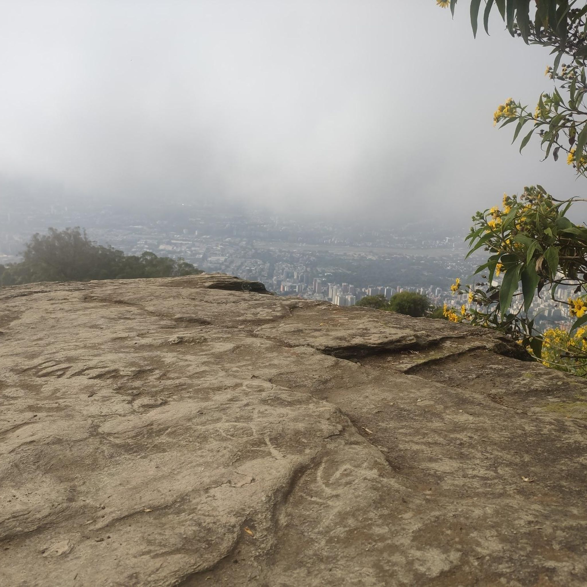
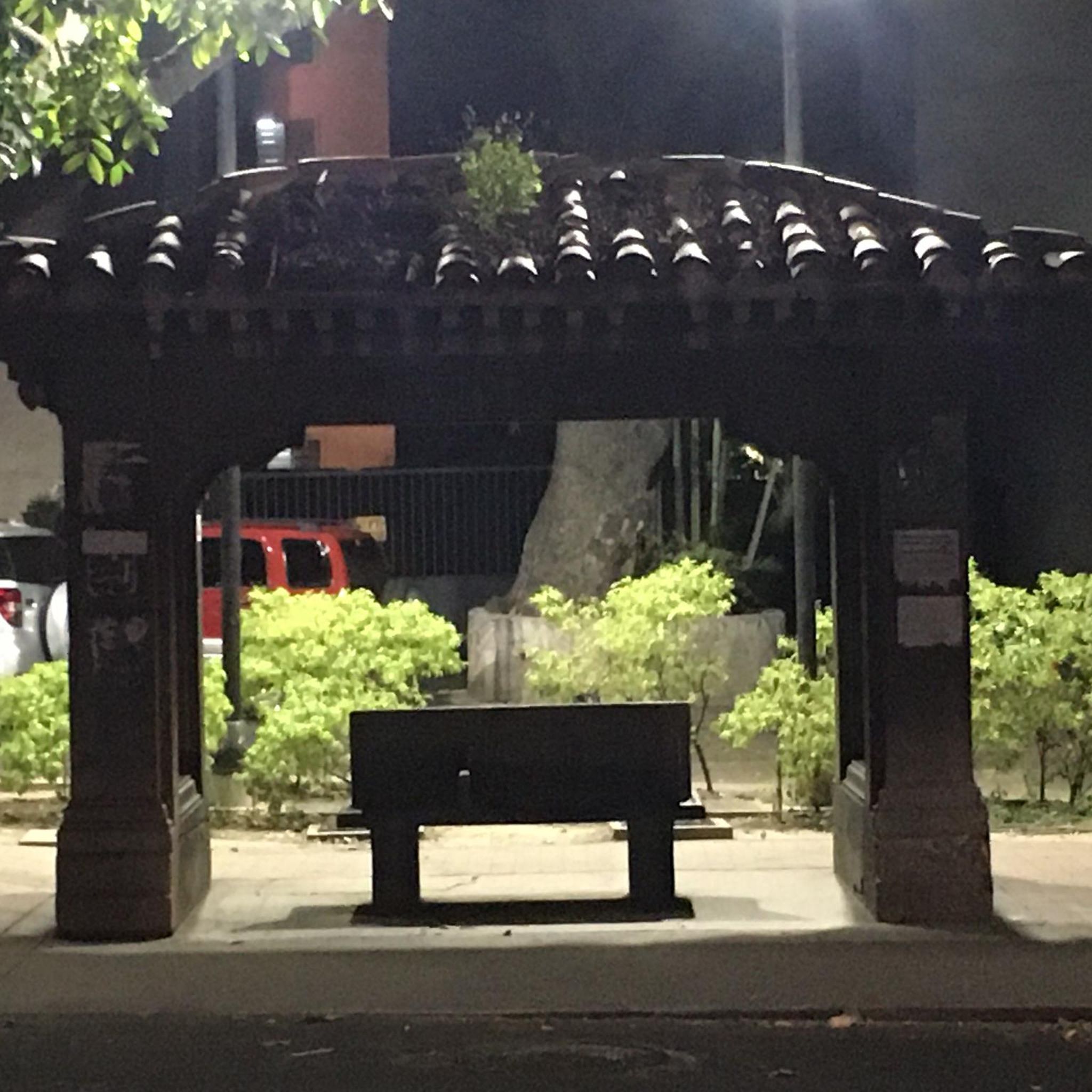
Tips from the Community


Excellent concentration point
0
0

Nice time travel in terms of the buildings. Interesting architecture all around, contrasts of all epochs. A place that is sometimes used for events. At the weekend you can see many residents strolling there. Worth a visit.
3
0
Frequently Asked Questions
What types of road cycling routes can I find in Chacao?
Chacao offers a diverse range of road cycling routes, from urban paths to more challenging mountainous terrain. The region's location within the Caracas Valley, at the foot of the Venezuelan coastal mountain range, means you'll find options with significant elevation changes as well as flatter rides. There are routes suitable for various skill levels, including easy, moderate, and difficult options.
Are there any easy road cycling routes for beginners in Chacao?
Yes, Chacao has routes suitable for beginners. For instance, the Río Guaire loop from Chacao is an easy 11.7-mile (18.8 km) trail that follows the urban environment alongside the Río Guaire, typically completed in about 50 minutes. Another easy option is the Río Guaire loop from Los Símbolos, which covers 14.1 miles (22.7 km) with minimal elevation gain.
What are some challenging road cycling routes in Chacao?
For experienced cyclists seeking a challenge, Chacao offers routes with substantial elevation gain. The Plaza Altamira – Test One loop from Chacao is a difficult 36.9-mile (59.3 km) route featuring over 3,700 feet of elevation gain. Another demanding option is the Plaza Altamira – A.C. loop from Altamira, a 28.3-mile (45.5 km) difficult path with over 3,100 feet of climbing.
What kind of elevation changes can I expect on Chacao's road cycling routes?
Chacao's road cycling routes offer varied elevation changes due to its mountainous surroundings. You can find routes with minimal climbing, such as the Río Guaire loops, or significant ascents. For example, the El Claret School Summit – Llanito Return loop from La California includes over 2,800 feet of elevation gain, providing a good workout.
Are there any circular road cycling routes in Chacao?
Many of Chacao's road cycling routes are designed as loops, allowing you to start and end in the same location. Examples include the Plaza Altamira – A.C. loop from Bello Monte, a moderate 31.9-mile (51.3 km) path, and the Plaza Altamira – Big Climb loop from Miranda, a 24.1-mile (38.8 km) moderate route.
What natural features or landmarks can I see while cycling in Chacao?
While cycling in Chacao, you'll often have views of the dramatic Venezuelan coastal mountain range, including the impressive Cerro El Ávila, which is part of the Avila National Park. The urban routes may also pass by green spaces like Plaza los Palos Grandes and East Park, offering a mix of cityscapes and natural backdrops.
What do other road cyclists say about the routes in Chacao?
The road cycling routes in Chacao are highly regarded by the komoot community, with an average rating of 3.7 stars from over 10 reviews. Cyclists often praise the varied terrain, which provides options for different skill levels, and the scenic views of the surrounding mountains.
Is Chacao suitable for family-friendly road cycling?
For families, Chacao offers easier, flatter routes that are more manageable. The Río Guaire loops, such as the Río Guaire loop from Urbanización Los Campitos, which is 17.4 miles (28 km) and moderate, could be suitable for families with some cycling experience, as they generally feature less demanding elevation changes compared to the mountainous routes.
What is the best time of year for road cycling in Chacao?
Given Chacao's location in the Caracas Valley, nestled against the Venezuelan coastal mountain range, the climate is generally tropical. It's advisable to check local weather forecasts for specific conditions, but typically, the dry season (roughly December to April) might offer more consistent weather for cycling, avoiding heavy rains that can occur during the wet season.
Are there any specific permits required for road cycling in Chacao or nearby areas?
Generally, no specific permits are required for road cycling on public roads within Chacao. However, if your route takes you into protected areas like the Avila National Park, it's always prudent to check for any specific regulations or entry requirements that might apply to cyclists within the park boundaries.
How many road cycling routes are available in Chacao on komoot?
Komoot features 10 distinct road cycling routes in Chacao, offering a range of experiences from easy urban rides to challenging climbs. These routes cater to various preferences and fitness levels.

Get inspired with the komoot mobile app


Explore more
Browse the best Road cycling routes in other regions.
