The best walks and hikes around Großlangenfeld
4.5
(3230)
11,600
hikers
664
hikes
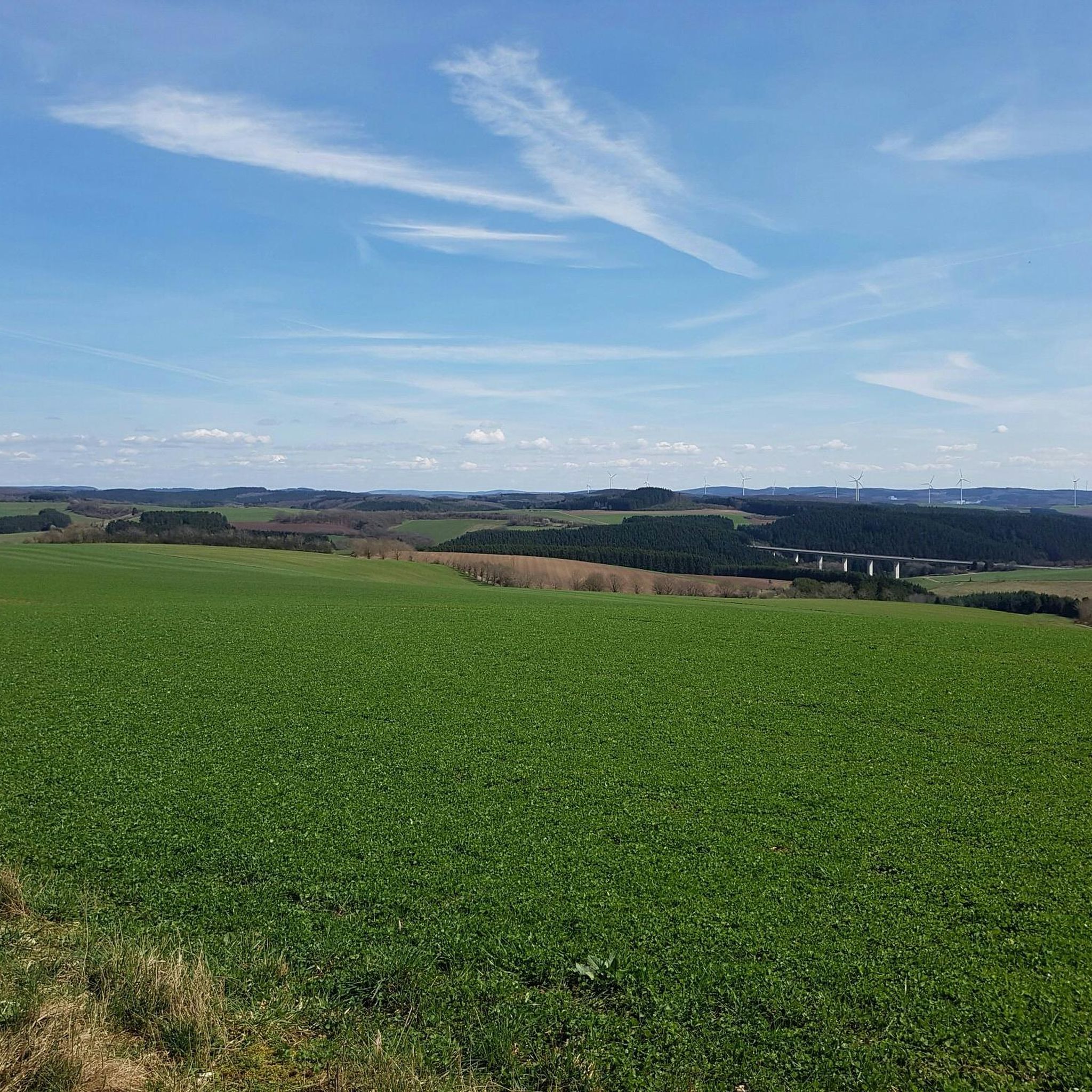
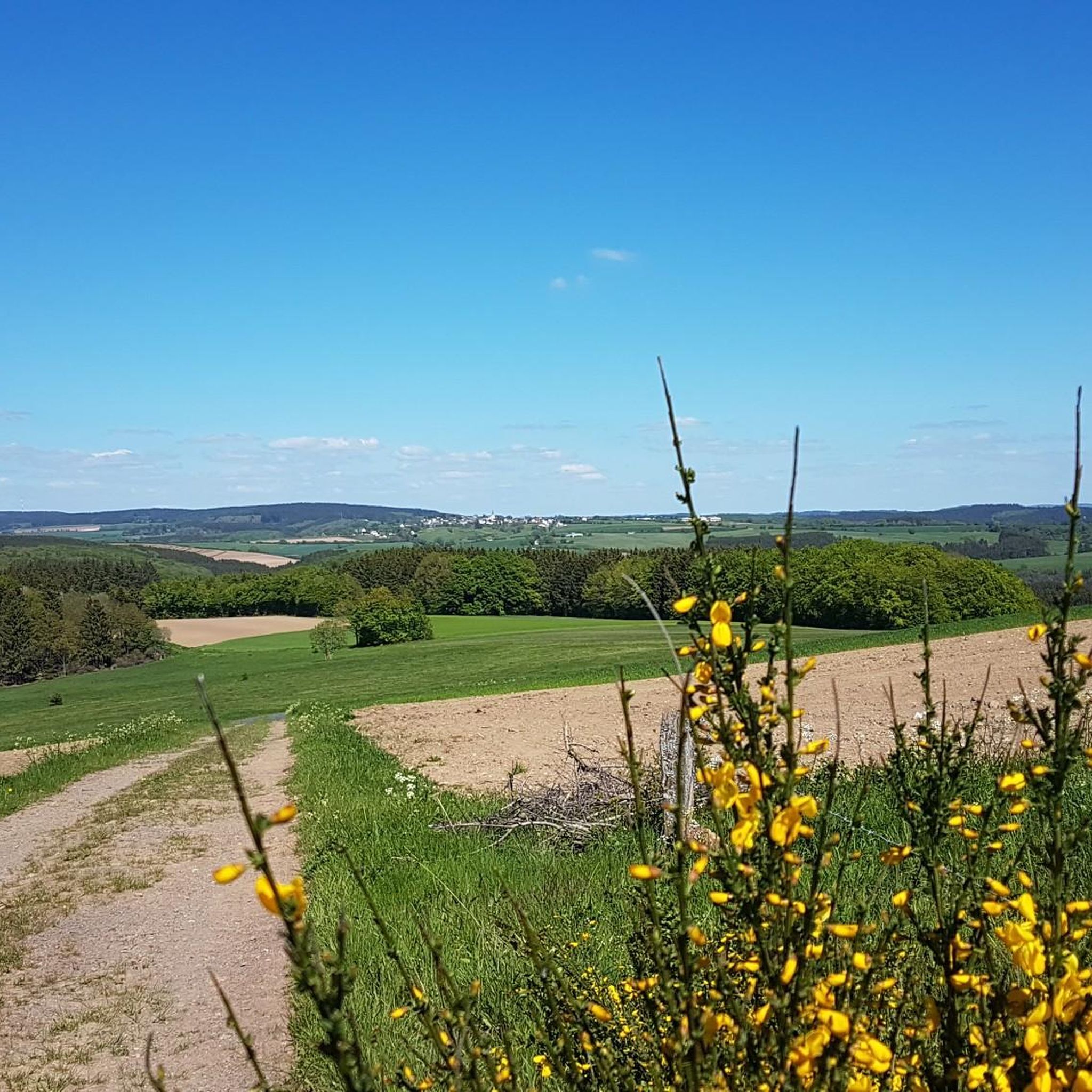
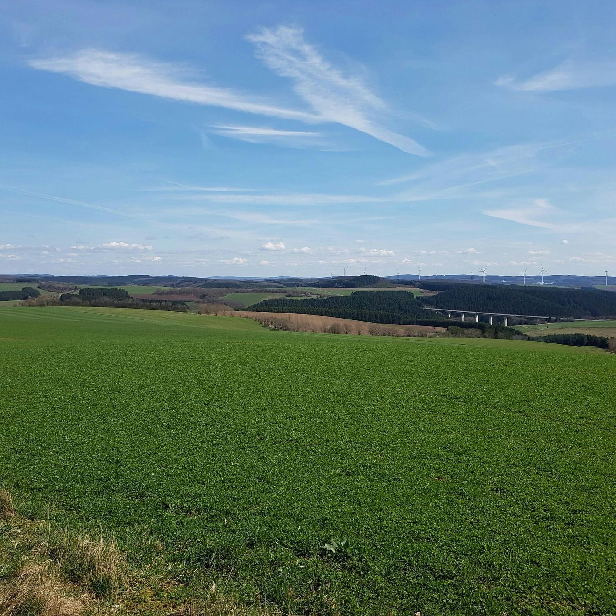
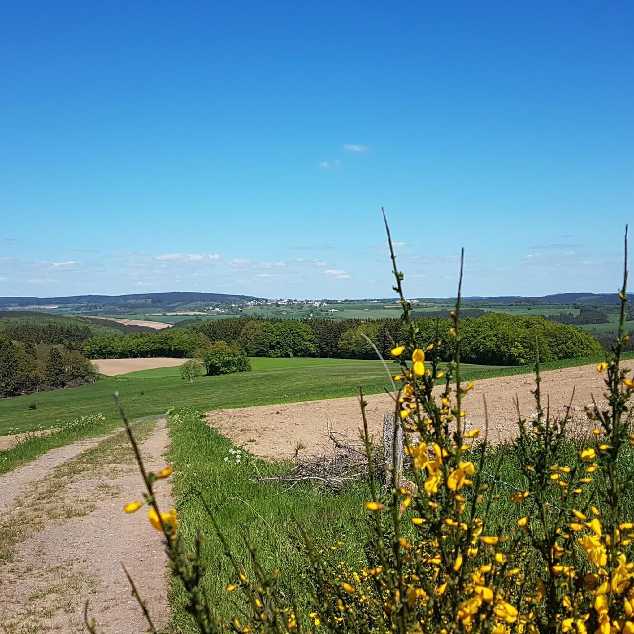
Hiking trails around Großlangenfeld traverse a varied landscape characterized by rolling hills, green forests, and picturesque meadows within the Eifel region. The terrain often features streams and offers diverse natural beauty. This area provides a range of outdoor activities suitable for various skill levels, from gentle walks to more challenging paths.
Best hiking trails around Großlangenfeld
- The most popular hiking route is Black Cross loop from Winterscheid, a 6.2 miles (10.0 km) trail that takes 2 hours 49 minutes…
Last updated: October 13, 2026
4.0
(3)
4
hikers
9.98km
02:50
220m
220m
Moderate hike. Good fitness required. Easily-accessible paths. Suitable for all skill levels.
4.2
(5)
10
hikers
4.53km
01:16
90m
90m
Easy hike. Great for any fitness level. Easily-accessible paths. Suitable for all skill levels.

5.0
(7)
12
hikers
6.48km
01:47
110m
100m
Easy hike. Great for any fitness level. Easily-accessible paths. Suitable for all skill levels.
5.0
(1)
6
hikers
9.19km
02:34
180m
180m
Moderate hike. Good fitness required. Easily-accessible paths. Suitable for all skill levels.
4.3
(3)
5
hikers
9.75km
02:44
200m
200m
Moderate hike. Good fitness required. Easily-accessible paths. Suitable for all skill levels.
Get access to more routes and recommendations from other explorers.
Already have an account?
Our route recommendations are based on thousands of hikes, rides, and runs completed by other people on komoot.
Start today with a free account
Your next adventure awaits.
Tips from the Community

The artist is called Charlie Benner
1
1
Beautiful small garden with various sculptures
1
1

The former Prüm art teacher Karl Friedrich Renner has been making sculptures out of concrete for many years. He has exhibited many of his works in his garden in Habscheid.
1
0

A lovingly created garden that invites you to linger.
0
0

You can park here easily
0
0
Frequently Asked Questions
How many hiking trails are available around Großlangenfeld?
Großlangenfeld offers a wide network of over 630 hiking trails. These routes cater to various preferences, including easy, moderate, and challenging options, allowing you to explore the diverse Eifel landscape.
What kind of landscape can I expect when hiking in Großlangenfeld?
You can expect a varied landscape characterized by rolling hills, green forests, and picturesque meadows. The region is known for its tranquil stream valleys and offers a diverse natural beauty typical of the Eifel, providing scenic views throughout your hike.
What do other hikers say about the trails in Großlangenfeld?
The hiking routes in Großlangenfeld are highly rated by the komoot community, with an average score of 4.5 stars from over 2,600 reviews. Hikers often praise the varied terrain, the peaceful atmosphere of the forests, and the well-maintained paths that wind through the Eifel landscape.
Are there easy hiking trails suitable for beginners or casual walkers in Großlangenfeld?
Yes, Großlangenfeld has over 280 easy hiking trails. A great option for a shorter outing is the Hiking loop from Habscheid, an easy 2.8-mile (4.5 km) path that winds through local forests and open fields.
Can I find challenging hikes around Großlangenfeld?
While the majority of trails are easy to moderate, there are over 30 challenging routes for experienced hikers. The broader region, part of the Eifelkreis-Bitburg-Prüm, also hosts events like the WanderMarathon Prümer Land, a difficult 43.1-kilometer hike featuring unique views along streams, meadows, and deep forests, requiring significant endurance.
Are there circular hiking routes available in Großlangenfeld?
Many of the trails around Großlangenfeld are designed as circular routes, allowing you to start and end at the same point. For example, the Black Cross loop from Winterscheid is a popular moderate circular trail offering views across the Eifel landscape.
What natural features or viewpoints can I discover on hikes near Großlangenfeld?
Hikes in the area often lead through rolling hills and green forests. You can find several viewpoints offering panoramic vistas, such as the Pavilion with Panoramic View of Bracht or general spots like the View of the rolling hills. The wider Eifel region, accessible from Großlangenfeld, is also known for impressive rock formations and crystal-clear lakes.
Are there any huts or shelters along the trails for a break?
Yes, you can find several huts and shelters in the vicinity of Großlangenfeld that offer a place to rest. Notable examples include the Stoneman Arduenna Stamp Station Maspelt (shelter with a view), the Leimbach Hut, and the Dürenbach Shelter.
Is Großlangenfeld a good destination for family-friendly hikes?
With over 280 easy trails, Großlangenfeld is well-suited for family-friendly hikes. These routes often feature gentle gradients and wind through forests and meadows, providing an enjoyable experience for all ages. The shorter Hiking loop from Habscheid is a good example of a route suitable for families.
Are dogs allowed on the hiking trails in Großlangenfeld?
Generally, dogs are welcome on hiking trails in the Großlangenfeld area and the wider Eifel region. It's always recommended to keep them on a leash, especially in nature reserves or near livestock, and to carry waste bags to maintain the cleanliness of the trails.
What is the best time of year to go hiking in Großlangenfeld?
The region is particularly beautiful in spring and summer when nature is in full bloom, offering lush green landscapes. Autumn also provides a stunning experience with its golden foliage. While winter hiking is possible, be prepared for colder temperatures and potentially snowy or icy conditions.
How long do hikes typically take around Großlangenfeld?
Hike durations vary significantly depending on the route's length and difficulty. Easy trails like the Hiking loop from Habscheid can take less than 1.5 hours, while moderate routes such as the Black Cross loop from Winterscheid typically take around 2 hours 49 minutes. Longer, more challenging routes can extend to several hours.
Is public transport available to access hiking trails in Großlangenfeld?
While Großlangenfeld is a rural village, public transport options exist within the Eifelkreis-Bitburg-Prüm. It's advisable to check local bus schedules in advance, as services might be less frequent, especially on weekends. Many hikers prefer to arrive by car for greater flexibility.
Where can I find parking for hiking trails in Großlangenfeld?
Parking is generally available at trailheads or in the village center of Großlangenfeld and surrounding communities. Look for designated hiking parking areas, often marked with signs. It's usually free, but always check local signage for any restrictions.
Most popular routes around Großlangenfeld
Most popular attractions around Großlangenfeld

Get inspired with the komoot mobile app


Explore more
Browse the best Hikes in other regions.
