The best walks and hikes around Großkmehlen
4.6
(699)
2,462
hikers
21
hikes
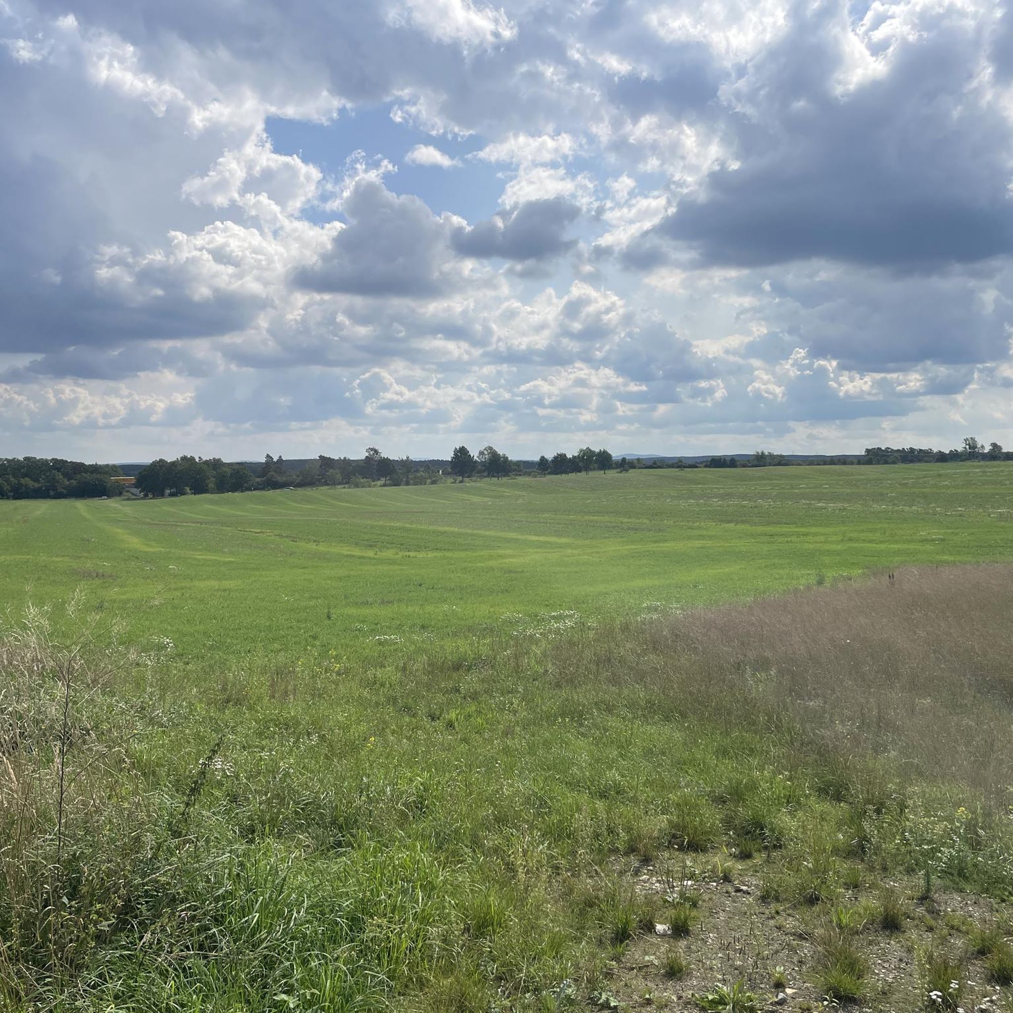
Hiking around Großkmehlen offers diverse landscapes in the southern Brandenburg region, characterized by the distinctive Kmehlen Hills. This area features the Kutschenberg, Brandenburg's highest elevation at 201 meters, providing panoramic views. Trails often lead through woodlands, maintained green spaces, and past historic sites like Großkmehlen Castle. The topography is generally gentle, suitable for various hiking abilities.
Best hiking trails around Großkmehlen
- The most popular hiking route is Großkmehlen Castle – Lindenau Castle loop from Großkmehlen, a 4.7 miles (7.5…
Last updated: June 26, 2026
4.7
(44)
150
hikers
7.40km
01:52
10m
10m
Easy hike. Great for any fitness level. Easily-accessible paths. Suitable for all skill levels.
4.7
(29)
103
hikers
9.97km
02:42
140m
140m
Moderate hike. Good fitness required. Easily-accessible paths. Suitable for all skill levels.

Sign up for free
4.7
(9)
24
hikers
5.85km
01:36
100m
100m
Easy hike. Great for any fitness level. Easily-accessible paths. Suitable for all skill levels.
5.0
(2)
16
hikers
14.1km
03:37
70m
60m
Moderate hike. Good fitness required. Easily-accessible paths. Suitable for all skill levels.
4.2
(6)
19
hikers
Easy hike. Great for any fitness level. Easily-accessible paths. Suitable for all skill levels.
Get access to more routes and recommendations from other explorers.
Sign up for free
Already have an account?
Our route recommendations are based on thousands of hikes, rides, and runs completed by other people on komoot.
Start today with a free account
Your next adventure awaits.
Login or Signup




Tips from the Community

easy to climb even for the inexperienced, no special equipment is required
3
0

a stele adorns the highest peak of Brandenburg
3
0


Beautiful St. George's Church in Großkmehlen. Info: The church was first documented in 1205. The building was altered around 1618. The church is designed in the shape of a cross.
1
0
Thanks for this amusing highlight. A witch's flying accident. The hands... the feet... and the bag... :D ...Phenomenal.
2
0

Never in spring or early summer – too many nettles and thistles from the fish ladder towards Großkmehlen – if you don't want to get into trouble with your fellow travelers, go for it! Otherwise, unfortunately, it's too "rustic and natural" and, in early June, would only get 1 out of 10 stars. Especially considering that the trail is marked by public signs.
0
0

A true treasure, this park and the unfortunately dilapidated castle.
0
0
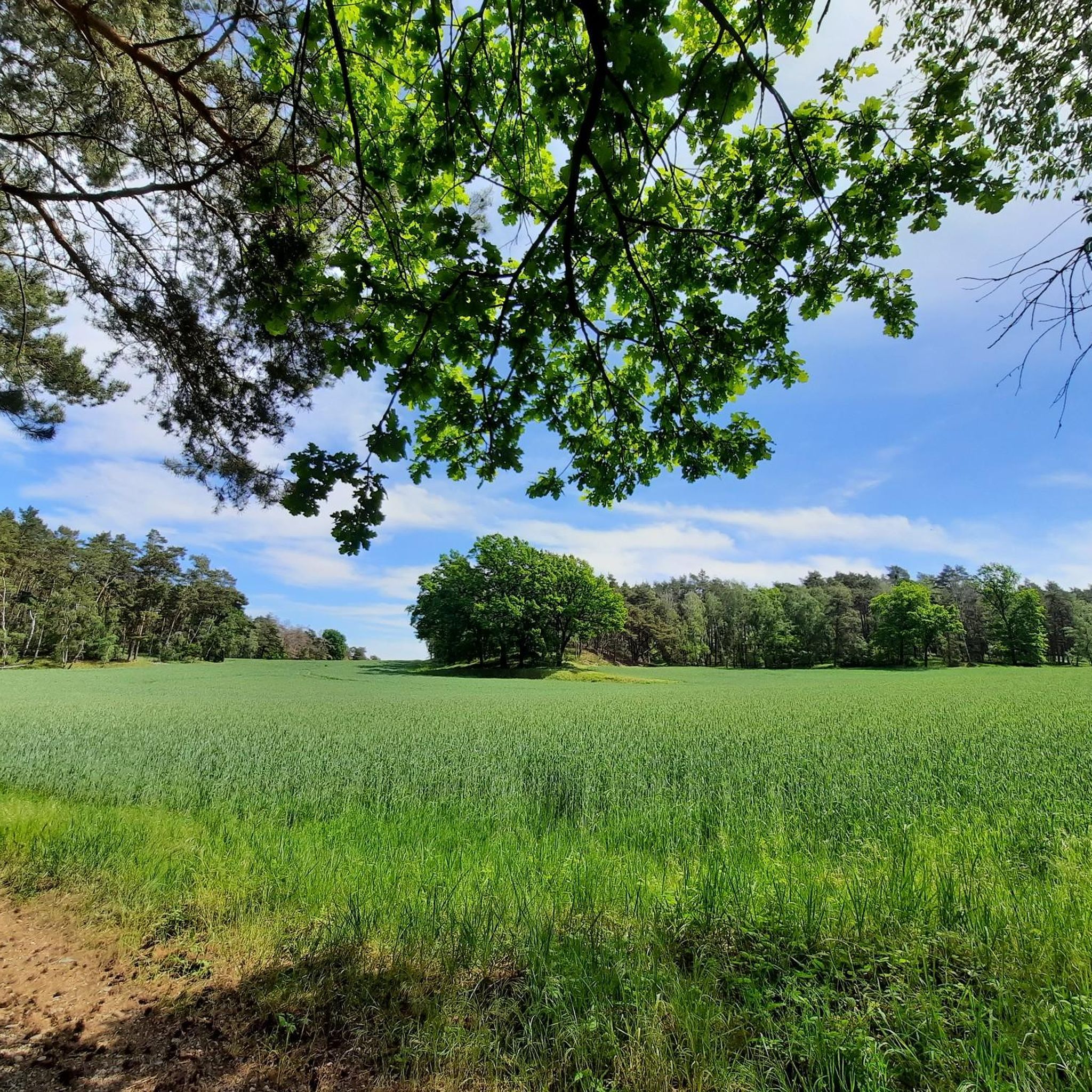
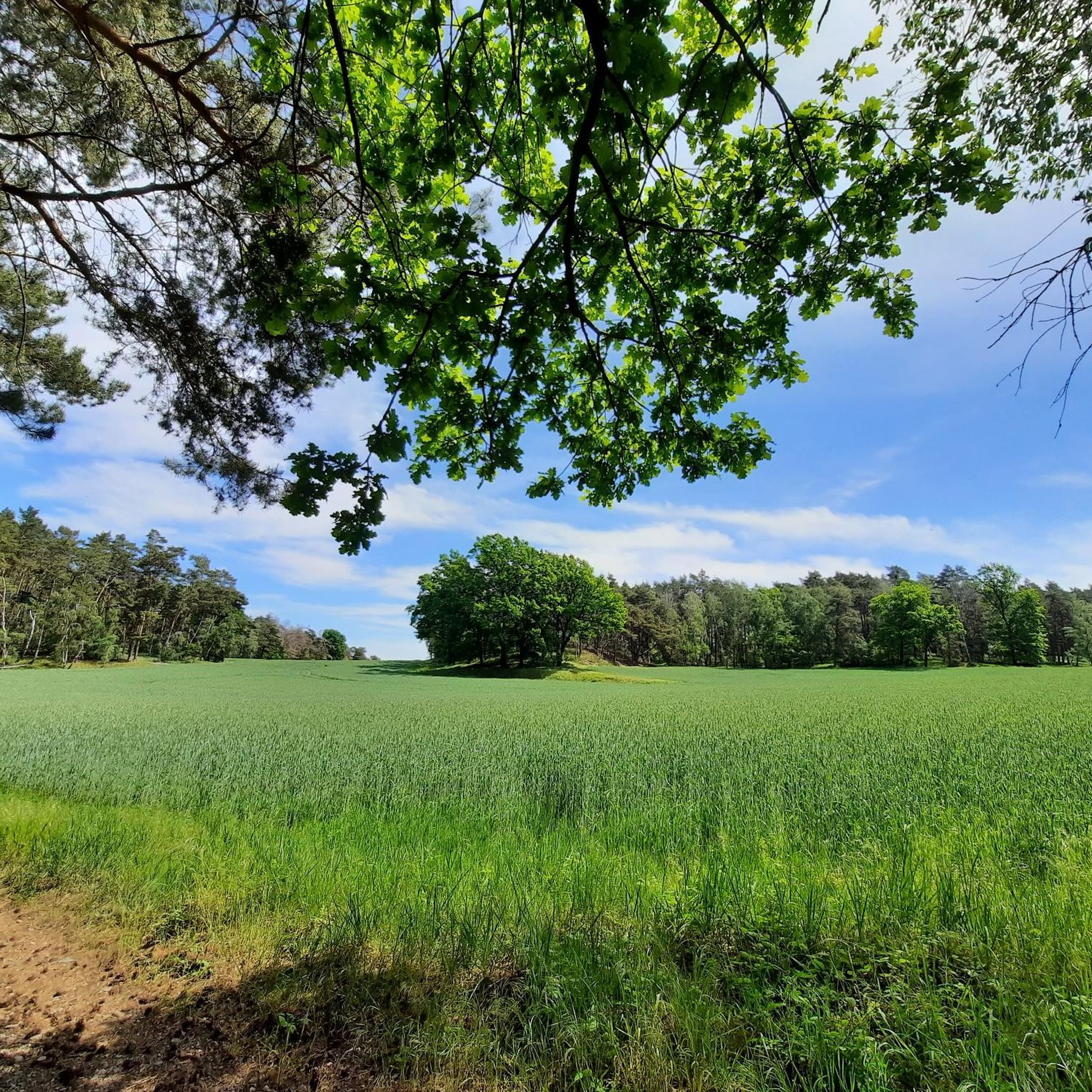
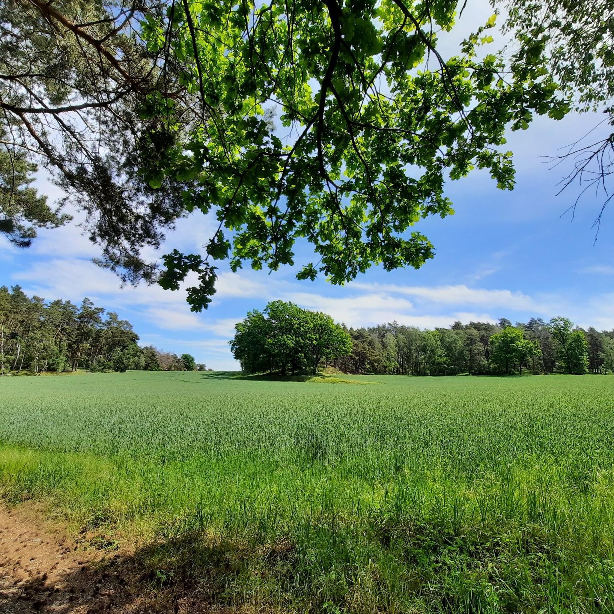
A beautiful hiking trail, the Path of 1000 Oaks. Quiet and unspoiled, an idyllic setting.
0
0
Frequently Asked Questions
How many hiking trails are available around Großkmehlen?
There are over 20 hiking trails around Großkmehlen, ranging from easy strolls to more moderate excursions. The komoot community has documented 23 routes in total, ensuring a variety of options for different preferences and fitness levels.
Are there easy hikes suitable for families or beginners in Großkmehlen?
Yes, Großkmehlen offers many easy hikes perfect for families and beginners. The terrain in the Kmehlen Hills is generally gentle. An excellent option is the Kutschenberg (201.5 m) – Rattelsberg Ski Hut loop from Großkmehlen, an easy 5.9 km path that takes you to Brandenburg's highest point with rewarding views.
What kind of landscapes and natural features can I expect to see while hiking in Großkmehlen?
Hiking in Großkmehlen offers a diverse landscape shaped by the Kmehlen Hills, a distinctive hilly area from the last Ice Age. You'll find trails leading through woodlands, past maintained green spaces, and to the Kutschenberg, Brandenburg's highest elevation, offering panoramic views. Look out for scenic spots like the 'Bench With a View of the Fields' and unique features such as the 'Path of 1,000 Oaks' and the 'Hollow Way at Kuckucksberg'.
Are there any circular hiking routes around Großkmehlen?
Yes, many of the hiking routes around Großkmehlen are circular, allowing you to start and end at the same point. A popular choice is the Großkmehlen Castle – Lindenau Castle loop from Großkmehlen, which is an easy 7.5 km trail connecting two historic castles.
What historical sites or attractions can I explore along the hiking trails?
Großkmehlen's hiking trails often integrate historical and cultural sights. You can visit the impressive Großkmehlen Castle, a moated castle set within a four-hectare landscape park. Other points of interest include Lindenau Castle and the historic St. George's Church, which can be incorporated into your walks.
Can I reach the hiking trails around Großkmehlen using public transport?
While specific public transport connections to every trailhead might vary, Großkmehlen itself is accessible by local bus services. It's advisable to check local bus schedules to plan your journey to the starting points of the trails, especially if you're not arriving by car.
Where can I find parking for hiking trails in Großkmehlen?
Parking is generally available in and around Großkmehlen, particularly near popular starting points or attractions like Großkmehlen Castle. Many routes begin directly from the village, where you can often find designated parking areas. Always check local signage for specific parking regulations.
What do other hikers enjoy most about hiking in Großkmehlen?
The hiking routes in Großkmehlen are highly rated by the komoot community, with an average score of 4.6 stars from over 300 reviews. Hikers often praise the varied terrain, the blend of natural beauty with historical sites, and the well-maintained paths that make exploring the Kmehlen Hills a rewarding experience.
Are there any challenging hikes for experienced hikers in the Großkmehlen area?
While Großkmehlen is known for its generally gentle topography, there are moderate routes that offer a bit more challenge. For example, the Schafbergschanze – Hunting Lodge Großkmehlen loop from Ortrand is a 10 km moderate trail leading through forested areas, offering a longer and more engaging experience.
Can I hike to Brandenburg's highest point from Großkmehlen?
Yes, you can hike to the Kutschenberg, which at 201 meters, is Brandenburg's highest elevation. The Kutschenberg (201.5 m) – Rattelsberg Ski Hut loop from Großkmehlen is an easy 5.9 km route that takes you directly to the summit, marked by a granite column, where you can enjoy panoramic views. More information about the Kutschenberg can be found on Brandenburg Tourism.
Are dogs allowed on the hiking trails in Großkmehlen?
Generally, dogs are welcome on hiking trails in the Großkmehlen area, especially in natural and forested areas. However, it's always recommended to keep dogs on a leash, particularly when passing through agricultural land, near wildlife, or in designated protected areas. Please be mindful of local regulations and other hikers.
What is the best time of year to go hiking in Großkmehlen?
Großkmehlen offers enjoyable hiking experiences throughout the year. Spring brings blooming nature, while autumn provides beautiful foliage. Summer is ideal for longer days, and even winter hikes can be picturesque, especially if there's snow. The gentle topography makes it accessible in most conditions, but always check weather forecasts before heading out.
Most popular routes around Großkmehlen
Most popular attractions around Großkmehlen

Get inspired with the komoot mobile app


Explore more
Browse the best Hikes in other regions.
