The 6 Most Amazing Peaks around Weitersburg
Best mountain peaks around Weitersburg are found in a region characterized by diverse landscapes, including forests, vineyards, and river valleys. Situated at an elevation of 184 meters, Weitersburg serves as a starting point for exploring the broader Mayen-Koblenz district. The area offers numerous hiking opportunities with significant elevation changes, leading to various vantage points. These trails provide access to the natural features and panoramic vistas of the Westerwald region.
Best mountain peaks around Weitersburg
- The most popular mountain peaks is…
Last updated: October 4, 2026
Köppel Observation Tower
Highlight • Viewpoint
Is worth a trip. :-)
Translated by Google •
Tip by

View over the Brexbach Valley from Teufelsberg
Highlight • Viewpoint
Translated by Google •
Tip by

Sign up now to discover places like this
Get recommendations on the best single tracks, peaks, & plenty of other exciting outdoor places.
Alarmstange (545 m) – Highest Point of the Montabaurer Höhe
Highlight • Summit
Translated by Google •
Tip by

Kaiserstuhl rock outcrop with bench
Highlight • Natural Monument
Translated by Google •
Tip by

Alarmstange Observation Tower and Trigonometric Point
Highlight • Viewpoint
Translated by Google •
Tip by

Sign up for free to discover even more peaks around Weitersburg.
Already have an account?
Start today with a free account
Your next adventure awaits.
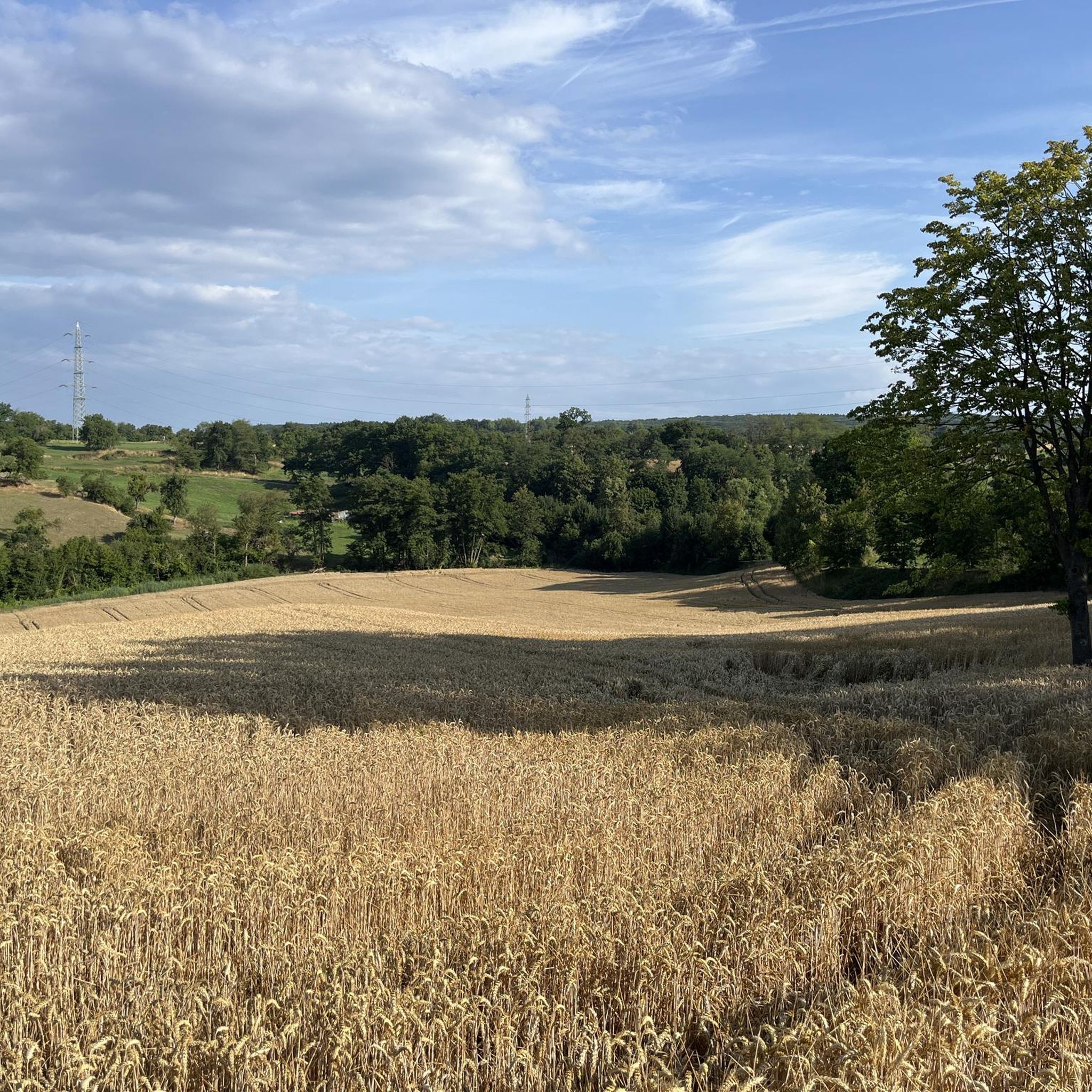
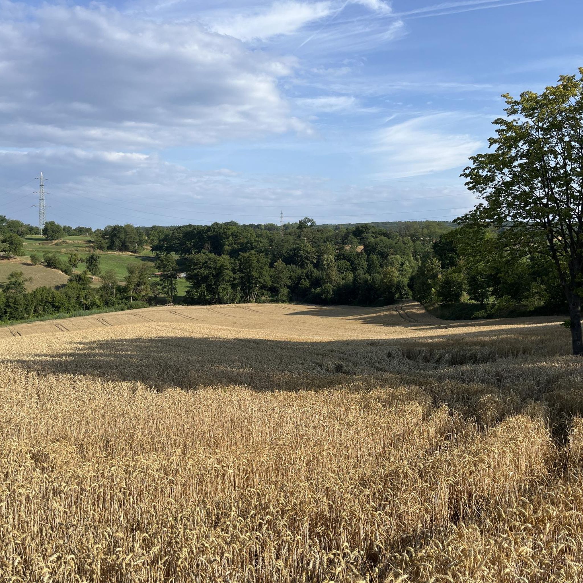
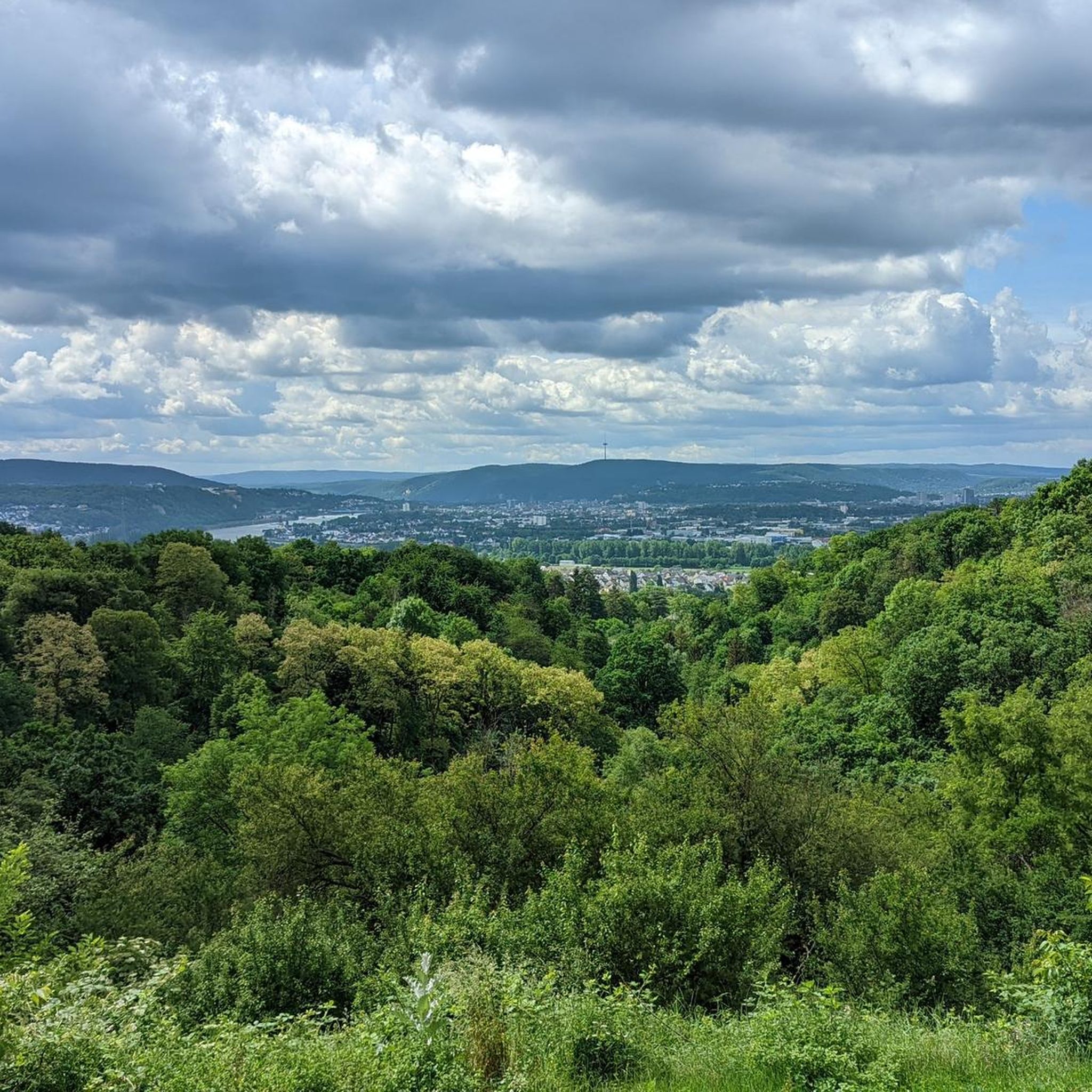
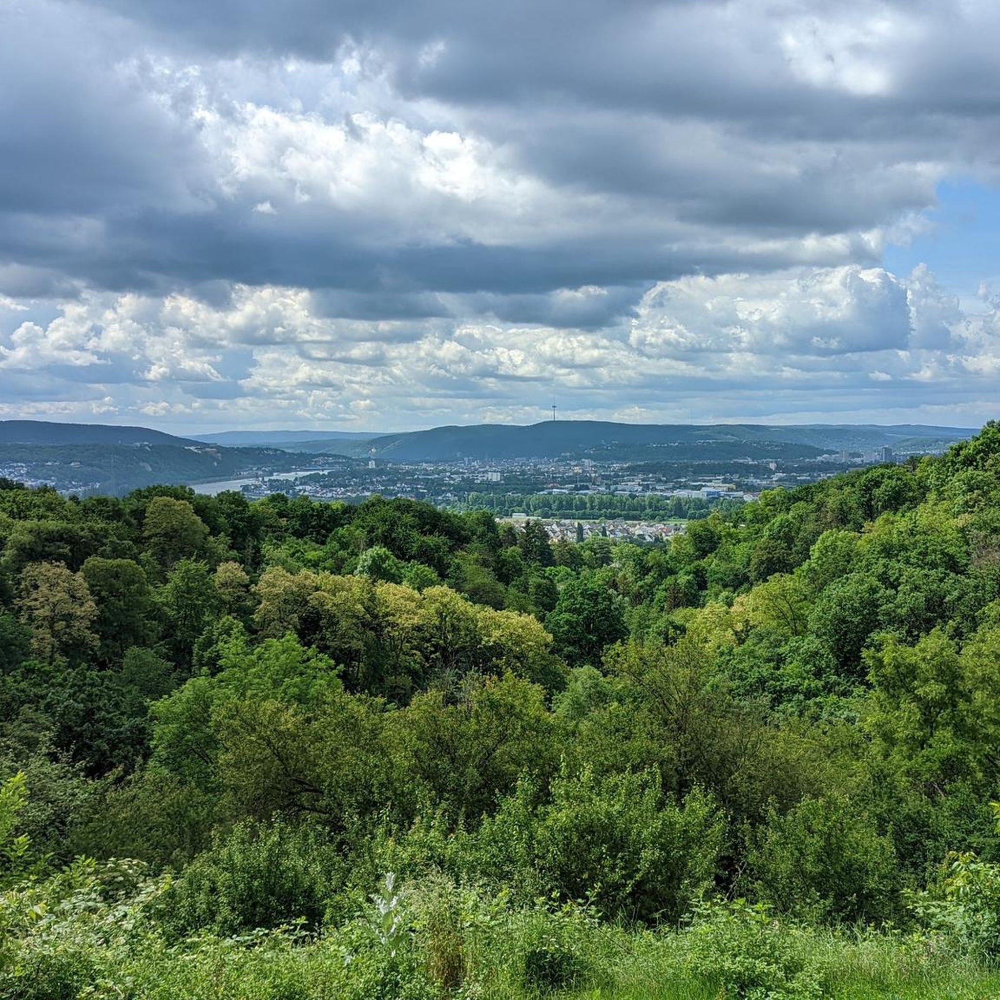
Tips from the Community

Natural monument, striking rocky outcrop with a bench and a bit of a view.
3
0
Beautiful steep path into the Brexbachtal.
2
0

The viewpoint is overgrown. However, the narrow path is a highlight.
3
0

Steep climb but rewarded
2
0

The Kaiserstuhl is located above the Brexbachtal near Grenzau and is a certified premium hiking trail (Brexbachschluchtweg). The ascent is somewhat alpine, so good footwear is required. From above you have a great view of the valley.
3
1

"... A rustic forest path leads from Grenzau Castle to the striking rocks at the Kaiserstuhl crossroads. Here we turn left to the rocky outcrop where a bench is available. Equipped with sturdy shoes, the path leads us down in serpentines to the Brexbachtal. ..." https://www.tourenplaner-rheinland-pfalz.de/de/tour/wandern/waeller-tour-brexbachschluchtweg- Grenzau/6080058/#dmdtab=oax-tab3 ⚠️ If the descent over the narrow path down to the Brexbachtal is too steep, you can also take a small detour via the Ostersmühle. 😉
1
0

Nice climb. Makes a good mood.
1
0

Frequently Asked Questions
What are the most popular viewpoints and elevated spots around Weitersburg?
The region around Weitersburg offers several popular elevated spots and viewpoints. Among the most appreciated are the Köppel Observation Tower, which provides expansive views after climbing, and the View over the Brexbach Valley from Teufelsberg, offering a scenic outlook and insights into local geology.
Are there any distinct summits or highest points to explore near Weitersburg?
Yes, you can explore distinct summits in the vicinity. The Alarmstange (545 m) – Highest Point of the Montabaurer Höhe is a notable summit featuring a telecommunications tower, often found along scenic bike paths. Another is the Pfahlberg summit (346 m) with summit cross, which, despite being wooded, offers a summit cross and a bench for resting.
What kind of natural features can I expect to see on elevated trails near Weitersburg?
The elevated trails around Weitersburg showcase diverse natural features. You'll encounter forests, river valleys like the picturesque Brexbach Valley, and unique geological formations such as the Kaiserstuhl rock outcrop with bench. Many routes offer significant elevation changes, leading to hidden vantage points over the Rhine valley and the Westerwald region.
What outdoor activities are available near the elevated areas of Weitersburg?
The hilly terrain around Weitersburg is ideal for various outdoor activities. You can find numerous hiking opportunities, including trails with significant elevation gain. For cyclists, there are options for gravel biking, general cycling, and dedicated MTB trails. Many of these routes pass by the region's viewpoints and summits.
Are there family-friendly options for exploring the elevated areas around Weitersburg?
While specific 'family-friendly' categories aren't always assigned to individual peaks, many trails leading to viewpoints are suitable for families. The region's diverse landscapes with forests and scenic outlooks provide engaging environments for walks. Always check the difficulty of specific routes, but generally, the area offers varied terrain that can accommodate different activity levels.
What is the best time of year to visit the mountain peaks and viewpoints near Weitersburg?
The region around Weitersburg is beautiful throughout the year, but spring and autumn often offer the most pleasant hiking conditions with mild temperatures and vibrant scenery. Spring brings blooming flora, while autumn showcases colorful foliage. Summer is also popular, though it can be warmer. Winter hiking is possible, but some trails might be more challenging due to weather conditions.
Where can I find panoramic views of the broader region from near Weitersburg?
For expansive panoramic views, the Köppel Observation Tower is highly recommended. After climbing the tower, you can often see the Gr. Feldberg i.T., Eifel volcanoes, Fuchskaute (WW), and Siebengebirge on clear days. Other viewpoints like the View over the Brexbach Valley from Teufelsberg also provide scenic outlooks over the immediate valleys and surrounding landscapes.
Are there any challenging hikes with significant elevation gain around Weitersburg?
Yes, the region around Weitersburg is known for its diverse terrain, and many hiking trails offer significant elevation changes, with some ascents reaching up to 610 meters. For example, the Kaiserstuhl rock outcrop with bench involves a rustic, steep climb that rewards with great views, indicating more challenging sections are available.
What do visitors enjoy most about the elevated spots and trails in the Weitersburg area?
Visitors frequently praise the breathtaking views and the rewarding experience after a climb. The rustic charm of places like the Köppelhütte near the Köppel Observation Tower, along with delicious food, is often highlighted. The insights into local geology at viewpoints and the adventurous paths are also popular among those exploring the region.
Can I find any historical or cultural sites near the elevated areas around Weitersburg?
While the focus of the elevated spots is primarily natural beauty and views, the broader region around Weitersburg is rich in history. Weitersburg itself is situated near well-known long-distance hiking routes like the Rheinsteig and the Limes hiking route Westerwald, which traverse historic sites and diverse landscapes. These trails offer opportunities to combine natural exploration with cultural discovery.
Are there options for mountain biking near the summits and viewpoints?
Absolutely. The region provides excellent opportunities for mountain biking. For instance, a beautiful bike path leads past the Alarmstange (545 m) – Highest Point of the Montabaurer Höhe. There are also dedicated MTB Trails around Weitersburg, offering routes like the 'Sayn Climbing Forest – Brexbach Valley Trail loop' and 'Pond in the Feisternachtbach Valley – Limespfad Trail loop'.
Are there any places to eat or rest near the viewpoints?
Yes, for example, the Köppel Observation Tower is known for the Köppelhütte, which offers rustic charm and delicious food. While not every viewpoint has direct amenities, many trails connect to villages or towns where cafes and pubs can be found, making it possible to plan your route to include refreshment stops.
Most popular routes around Weitersburg
Most popular attractions around Weitersburg

Get inspired with the komoot mobile app


Explore more
See even more amazing summits around Weitersburg with these guides:
