The best walks and hikes in Arraiján
4.7
(126)
1,066
hikers
6
hikes
Hiking trails in Arraiján offer a diverse range of experiences, from urban explorations to paths leading through natural landscapes. The region, situated in Panamá Oeste, features a mix of coastal areas, city promenades, and low-lying hills. These routes provide opportunities to observe local flora and fauna, alongside views of the Panama City skyline. The terrain is generally accessible, with varied elevation gains across different trails.
Best hiking trails in Arraiján
- The most popular hiking route is Viewpint – Cerro Cedro…
Last updated: July 2, 2026
4.8
(87)
661
hikers
4.70km
01:21
110m
110m
Easy hike. Great for any fitness level. Easily-accessible paths. Suitable for all skill levels.
4.7
(16)
169
hikers
4.89km
01:18
50m
50m
Easy hike. Great for any fitness level. Easily-accessible paths. Suitable for all skill levels.

Sign up for free
4.6
(8)
122
hikers
Moderate hike. Good fitness required. Easily-accessible paths. Suitable for all skill levels.
4.3
(6)
58
hikers
14.1km
03:40
90m
90m
Moderate hike. Good fitness required. Easily-accessible paths. Suitable for all skill levels.
4.5
(6)
32
hikers
Moderate hike. Good fitness required. Easily-accessible paths. Suitable for all skill levels.
5.0
(3)
24
hikers
Easy hike. Great for any fitness level. Easily-accessible paths. Suitable for all skill levels.
Our route recommendations are based on thousands of hikes, rides, and runs completed by other people on komoot.
Start today with a free account
Your next adventure awaits.
Login or Signup





Tips from the Community

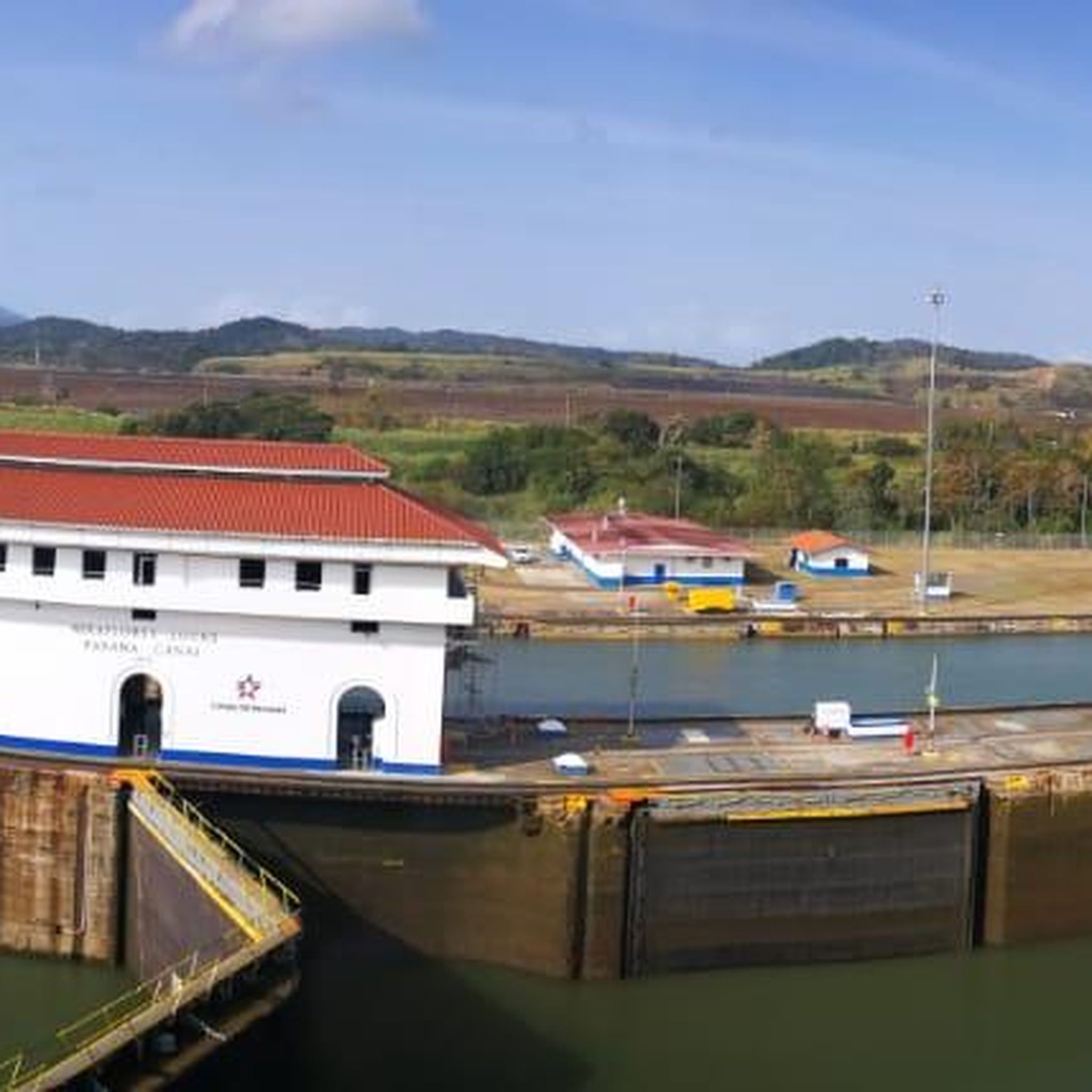
The Museo del Canal documents the history, construction, and impact of the Panama Canal. It offers exhibitions on its beginnings, construction, technology, and social effects.
1
0
La Catedral Metropolitana or Catedral de Panamá is one of the largest churches in Central America. Construction is said to have begun in 1668. The baroque architectural style is represented in this structure. It was completed in 1796 and underwent a massive restoration project in 2003. Today, it overlooks Plaza Catedral (Plaza de la Independencia) and is one of the main areas in the historic Casco Viejo district.
0
0
Colorful Panama sign on the lake promenade. It is a well-known photo motif for tourists. The surroundings offer a mix of modern skyscrapers and historic city districts.
0
0

Huge letters of the Country/City name, in front of the skyline and the park overlooking the waterfront
3
0
The Monumental Complex of Las Bóvedas forms the walls that surround the Plaza de Francia in the Old Town of Panama. The monumental complex consists of seven vaulted spaces that made up the city's historic defensive system.
2
0

Too concrete and smooth for a fortress, with towers and entrances unsuitable for an air-raid shelter. I wonder what this building was originally built for, and what's happening to it now? Questions, questions, maybe someone knows more.
1
0
It's a strenuous climb, but worth it. Pay a small fee at the visitor center, and then the park is yours to enjoy. Here, too, you'll find a wide variety of plants, animals, and the fruits of human activity. Check the weather radar beforehand to make sure your trip isn't ruined.
1
0
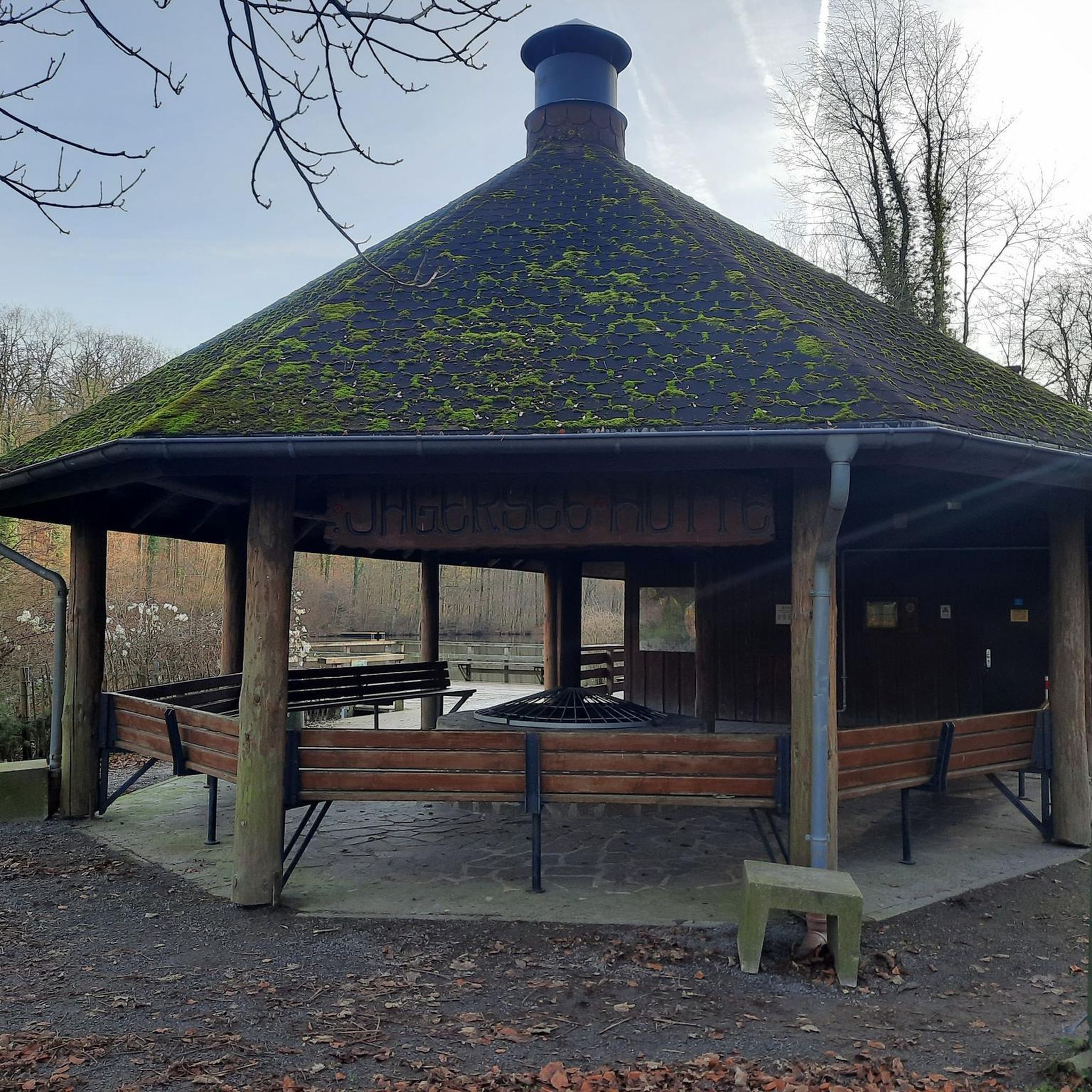
They are funny and like to come and see who is walking around in their forest.
1
0
Frequently Asked Questions
How many hiking trails are there in Arraiján?
Arraiján offers a selection of 6 hiking trails, ranging from easy urban strolls to more moderate paths through natural landscapes.
Are there easy hiking trails suitable for beginners in Arraiján?
Yes, Arraiján has 3 easy hiking trails perfect for beginners or those looking for a relaxed walk. One popular option is the Viewpint – Cerro Cedro loop from Curundú, which is just under 3 miles (4.7 km) and offers pleasant views.
Are there any challenging hikes in Arraiján?
While Arraiján's trails are generally accessible, there are 3 moderate routes that offer a bit more length and exploration. For example, the Plaza de Francia – Old Town Promenade loop from Vía Argentina is a longer 8.7-mile (14 km) route that provides an extended urban and coastal experience.
Can I find circular hiking routes in Arraiján?
Yes, all the hiking routes in Arraiján are circular, allowing you to start and end at the same point. This includes trails like the Avenida Central – View of Panama City Skyline loop from El Chorrillo, which is a 7.6-mile (12.3 km) loop offering impressive city views.
What kind of scenery can I expect on hikes in Arraiján?
Hikes in Arraiján offer a diverse range of scenery, from urban promenades and historical areas to coastal views and gentle hills. You can expect to see local flora and fauna, and many routes provide stunning views of the Panama City skyline.
Are there family-friendly hiking options in Arraiján?
Many of Arraiján's easy trails are suitable for families. The generally accessible terrain and shorter distances make them ideal for outings with children. The Thorny Tree – Small Shelter in the Forest loop from Laguna Capibara is an easy 3.8-mile (6.2 km) loop that could be a good option for families.
What are some notable attractions or landmarks I can see while hiking in Arraiján?
While hiking in Arraiján, you can explore several significant landmarks and attractions. These include the iconic Panama Canal, the impressive Bridge of the Americas, and the scenic Playa Veracruz. Some routes also pass by the Rio Fanfan beach trailhead and dam bridge.
What do other hikers say about the trails in Arraiján?
The trails in Arraiján are highly rated by the komoot community, with an average score of 4.8 stars from over 100 reviews. Hikers often praise the varied terrain, the mix of urban and natural landscapes, and the accessible nature of the routes.
What wildlife might I encounter on the trails in Arraiján?
The natural areas and green spaces along Arraiján's trails offer opportunities to observe local flora and fauna. Depending on the specific trail and time of day, you might spot various bird species, small mammals, and diverse plant life native to the region.
What is the best time of year to go hiking in Arraiján?
Panama has a tropical climate. The dry season, typically from December to April, offers more predictable weather with less rain and lower humidity, making it generally the most comfortable time for hiking. The wet season (May to November) can bring lush greenery but also more frequent showers.
Are dogs allowed on hiking trails in Arraiján?
While specific regulations can vary, many public outdoor spaces and trails in Panama are generally dog-friendly, especially if dogs are kept on a leash. It's always recommended to check local signage or specific park rules for the most current information before heading out with your pet.
Is public transport available to reach hiking trails in Arraiján?
Arraiján is part of the Panamá Oeste province, and public transport options like buses are available within the region and connecting to Panama City. For specific trailheads, you may need to combine bus travel with a short taxi ride or a walk, depending on the route's exact starting point.
Where can I park when hiking in Arraiján?
Parking availability varies depending on the specific trailhead. For urban routes, street parking or public parking lots in nearby commercial areas might be options. For trails in more natural or less developed areas, designated parking might be limited, so it's advisable to research the starting point of your chosen route beforehand.
Most popular attractions in Arraiján

Get inspired with the komoot mobile app


Didn’t find what you were looking for?
Check out more Hikes throughout Arraiján below and find the perfect route in your destination.
Explore more
Browse the best Hikes in other regions.
