The best walks and hikes in Boquerón
4.4
(217)
1,231
hikers
5
hikes
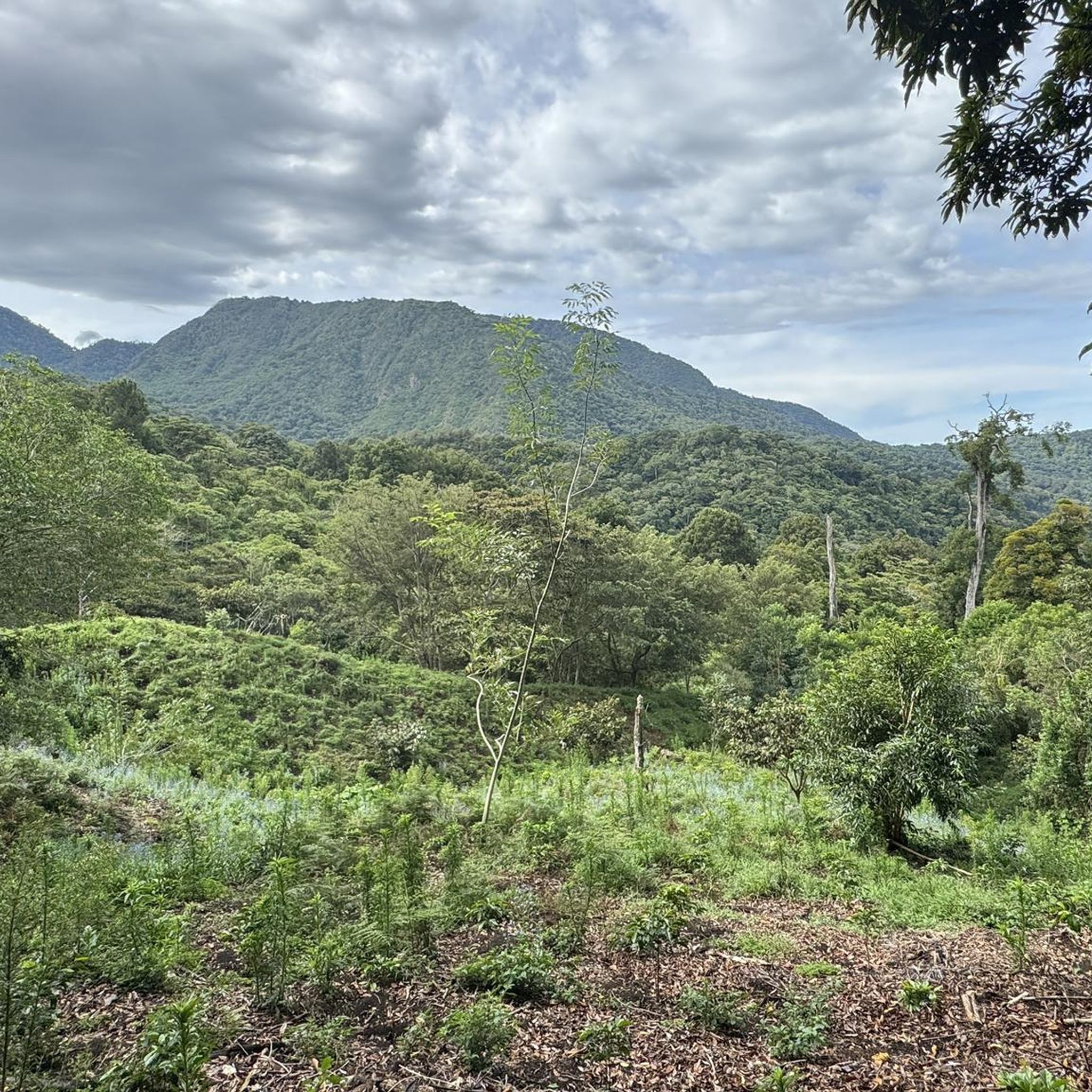
Hiking in Boquerón offers diverse terrain, characterized by volcanic landscapes, significant elevation changes, and areas of cultivation. The region features prominent peaks like Volcán Barú, along with routes exploring waterfalls and agricultural zones. The trails provide opportunities to experience both challenging ascents and more gentle paths through varied natural environments.
Best hiking trails in Boquerón
- The most popular hiking route is Summit of Volcán Barú – Volcán Barú Summit loop from Café, a difficult 11.7 miles (18.8 km) trail…
Last updated: July 1, 2026
4.5
(49)
292
hikers
18.8km
06:47
1,150m
1,150m
Hard hike. Very good fitness required. Easily-accessible paths. Suitable for all skill levels.
3.0
(2)
37
hikers
13.4km
06:40
1,540m
1,540m
Hard hike. Very good fitness required. Easily-accessible paths. Suitable for all skill levels.

Sign up for free
5.0
(1)
7
hikers
2.56km
00:51
120m
120m
Easy hike. Great for any fitness level. Easily-accessible paths. Suitable for all skill levels.
4.3
(3)
15
hikers
14.2km
04:57
600m
600m
Hard hike. Good fitness required. Sure-footedness, sturdy shoes and alpine experience required.
4.0
(1)
6
hikers
8.20km
03:04
540m
540m
Moderate hike. Good fitness required. Easily-accessible paths. Suitable for all skill levels.
Our route recommendations are based on thousands of hikes, rides, and runs completed by other people on komoot.
Start today with a free account
Your next adventure awaits.
Login or Signup
Popular around Boquerón


Tips from the Community


The ascent from Nueve Bambito is only possible with a guide, which must be arranged in advance. Unfortunately, the staff at the entrance to the park will not let you through if you do not have a reservation.
0
0

Hiking boots recommended and sure-footedness required.
0
0

From this small viewing platform you can let your way wander over the mountains of Panama and take a break on the way to the summit.
0
1
Frequently Asked Questions
How many hiking trails are available in Boquerón?
Boquerón offers a selection of 5 hiking routes, ranging from easy strolls to challenging ascents. These trails are well-regarded by the komoot community, with an average rating of 4.4 stars from over 170 reviews.
Are there easy hiking options for beginners or families in Boquerón?
Yes, Boquerón has options suitable for beginners and families. An easy route is the Volcán Barú Summit loop from Baru Volcano, which is 1.6 miles (2.6 km) long and takes about 51 minutes to complete, offering a gentle introduction to the area's volcanic landscapes.
What are the more challenging hikes in Boquerón?
For experienced hikers seeking a challenge, Boquerón features several difficult routes. The Summit of Volcán Barú – Volcán Barú Summit loop from Café is a demanding 11.7 miles (18.8 km) trail with significant elevation gain, typically taking nearly 7 hours. Another difficult option is the Volcán Barú Summit – Summit of Volcán Barú loop from Estacionamiento, an 8.3 miles (13.4 km) path also leading to the summit.
Can I find circular hiking routes in Boquerón?
Yes, many of the trails in Boquerón are designed as loops. Examples include the Summit of Volcán Barú – Volcán Barú Summit loop from Café, the Volcán Barú Summit – Summit of Volcán Barú loop from Estacionamiento, and the Hiking loop from Cultivos de hortalizas, providing convenient starting and ending points.
Are there any hikes that feature waterfalls in Boquerón?
Yes, you can explore routes that lead to waterfalls in Boquerón. The First waterfall loop from Alto Quiel is a 8.8 miles (14.2 km) difficult trail that takes you through varied terrain to experience the region's natural water features.
What is the best time of year to go hiking in Boquerón?
Boquerón experiences a dry season from December to April and a rainy season from May to November. The dry season generally offers more predictable weather for hiking, with clearer skies and less mud. However, the rainy season can bring lush greenery and dramatic cloud formations, though trails may be slicker.
What should I wear or bring for hiking in Boquerón, especially during the rainy season?
Given the significant elevation changes and potential for rain, it's advisable to wear layers, including waterproof outer shells. Sturdy hiking boots with good grip are essential, especially for volcanic terrain and potentially muddy paths during the rainy season. Always carry sufficient water, snacks, sun protection, and navigation tools.
Are Boquerón's trails suitable for dogs?
While many trails in Boquerón are generally accessible, specific regulations regarding dogs can vary, especially within protected areas like Volcán Barú National Park. It's always best to check local park rules or trail signage beforehand to ensure your dog is permitted and to keep them on a leash for their safety and to protect wildlife.
Where can I find parking for the hiking trails in Boquerón?
Parking availability varies by trailhead. For routes like the Volcán Barú Summit – Summit of Volcán Barú loop from Estacionamiento, there are designated parking areas. For other trails, roadside parking might be available, but it's recommended to research specific trailhead access points in advance.
Are there hikes in Boquerón with great viewpoints?
Absolutely. Many trails in Boquerón, particularly those ascending Volcán Barú, offer spectacular panoramic views. The summit routes, such as the Summit of Volcán Barú – Volcán Barú Summit loop from Café, are renowned for their high-elevation vistas, allowing you to see both the Pacific Ocean and the Caribbean Sea on clear days.
Are there any hikes that pass through agricultural areas in Boquerón?
Yes, the region's landscape includes areas of cultivation. The Hiking loop from Cultivos de hortalizas is a moderate 5.1 miles (8.2 km) trail that specifically leads through cultivated fields, offering a different perspective on Boquerón's natural and agricultural environment.
What kind of terrain can I expect on Boquerón's hiking trails?
Boquerón's trails are characterized by diverse terrain, including volcanic landscapes, significant elevation changes, and areas of cultivation. You can expect paths ranging from challenging ascents on rocky, sometimes steep, volcanic slopes to more gentle paths winding through agricultural zones and forested areas.

Get inspired with the komoot mobile app


Didn’t find what you were looking for?
Check out more Hikes throughout Boquerón below and find the perfect route in your destination.
