The best walks and hikes in Mariano Escobedo
5.0
(17)
40
hikers
5
hikes
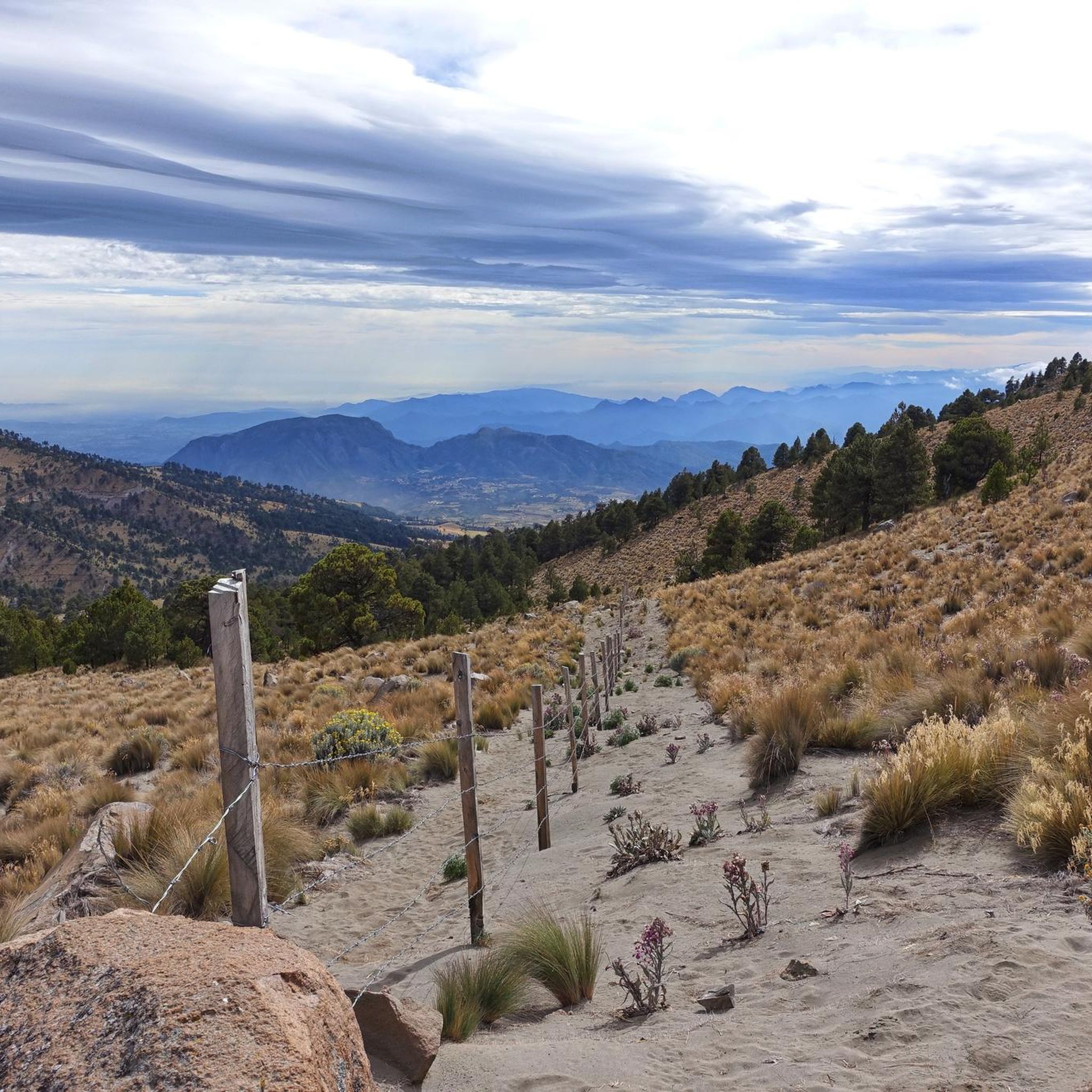
Hiking in Mariano Escobedo, Veracruz, offers diverse landscapes ranging from challenging mountain ascents to more accessible paths. The region is characterized by its proximity to Mexico's highest peak, Pico de Orizaba, providing opportunities for high-altitude trekking. Lower elevations feature hilly terrain, forested areas, and riparian environments, with trails suitable for various fitness levels. The area's natural features include significant elevation changes and scenic viewpoints.
Best hiking trails in Mariano Escobedo
- The most popular hiking route is Pico de Orizaba Summit…
Last updated: July 1, 2026
5.0
(3)
22
hikers
8.63km
03:47
670m
670m
Hard hike. Good fitness required. Sure-footedness, sturdy shoes and alpine experience required.
5.0
(1)
13
hikers
5.02km
04:40
970m
970m
Hard hike. Very good fitness required. Sure-footedness, sturdy shoes and alpine experience required.

Sign up for free
5.0
(10)
3
hikers
6.65km
02:13
280m
280m
Moderate hike. Good fitness required. Easily-accessible paths. Suitable for all skill levels.
5.0
(2)
1
hikers
13.2km
03:28
120m
120m
Moderate hike. Good fitness required. Easily-accessible paths. Suitable for all skill levels.
5.0
(1)
1
hikers
4.14km
01:05
30m
30m
Easy hike. Great for any fitness level. Easily-accessible paths. Suitable for all skill levels.
Our route recommendations are based on thousands of hikes, rides, and runs completed by other people on komoot.
Start today with a free account
Your next adventure awaits.
Login or Signup
Popular around Mariano Escobedo

Tips from the Community

There is an entrance fee, it includes many attractions such as the cable car and the crystal viewing platform.
0
0

Just want to enjoy a very healthy, safe and fun route. Cheer up.
0
0

I climbed this with a Mexican guiding company owned by a friend of mine. This is a great peak and after getting up to the Piedra Grande hut we did a short acclimatisation hike on the first day. The summit day we were away at 1.15am and after a night time slog up the shale/rocky path to the Labyrinth we found that there was quite a bit of ice on the route that required front pointing and pick work. This was done in rope teams but it was easy enough. After getting through the Labyrinth we started the three hour cold, windy slog that took us up the steep 40 degree slope up to the summit. It was cold and very windy this day but we were rewarded with top summit views. A hard 8 hour slog in total to the summit. Quite a good time and we took 4 hours on the decent. All in all a great mountain day but hard work. For route and comprehensive mountain information click here: https://www.komoot.com/tour/1403847665
1
0


use special equipment (Crampons, Ice Ax, Cane, Helmet) and the 3 layers of clothing for the cold.
2
0
I climbed this with a Mexican guiding company owned by a friend of mine. This is a great peak and after getting up to the Piedra Grande hut we did a short acclimatisation hike on the first day. The summit day we were away at 1.15am and after a night time slog up the shale/rocky path to the Labyrinth we found that there was quite a bit of ice on the route that required front pointing and pick work. This was done in rope teams but it was easy enough. After getting through the Labyrinth we started the three hour cold, windy slog that took us up the steep 40 degree slope up to the summit. It was cold and very windy this day but we were rewarded with top summit views. A hard 8 hour slog in total to the summit. Quite a good time and we took 4 hours on the decent. All in all a great mountain day but hard work. For route and comprehensive mountain information click here: https://www.komoot.com/tour/294381732
4
0
Frequently Asked Questions
What types of hiking trails can I find in Mariano Escobedo?
Mariano Escobedo offers a diverse range of hiking trails, from challenging mountain ascents to more accessible paths. You'll find routes suitable for various fitness levels, including those leading to high-altitude peaks like Pico de Orizaba, as well as trails through hilly terrain and forested areas.
Are there any challenging hikes for experienced trekkers in the region?
Yes, for experienced trekkers, the region offers demanding routes. The Pico de Orizaba Summit loop from Parqueo alto is a strenuous climb towards Mexico's highest peak, requiring very good fitness and alpine experience. Another hard option is the Refugio Fausto González Gomar loop from Sierra Negra.
Are there any easier or moderate hiking options in Mariano Escobedo?
Absolutely. For those seeking less demanding options, the Cerro del Borrego loop from Orizaba is a moderate path offering scenic views and attractions like a cable car. The Hiking loop from DIF Orizaba is another moderate choice, while the Coyametla loop from Orizaba is an easy trail suitable for any fitness level, leading through urban and natural landscapes.
What are some notable natural features or landmarks to see while hiking?
The most prominent natural feature is Pico de Orizaba, Mexico's highest peak, which offers imposing views. Near Orizaba, Cerro del Borrego provides scenic vistas and features a cable car and a crystal viewing platform. The general landscape includes volcanic peaks, mountainous terrain, and diverse forested areas.
Are there any circular hiking routes available?
Yes, many of the trails in Mariano Escobedo are designed as loops. Examples include the challenging Pico de Orizaba Summit loop from Parqueo alto, the moderate Cerro del Borrego loop from Orizaba, and the easy Coyametla loop from Orizaba.
What do other hikers say about the trails in Mariano Escobedo?
The hiking routes in Mariano Escobedo are highly rated by the komoot community, with an average score of 5.0 stars from over 16 reviews. Hikers often praise the diverse terrain, from challenging ascents to accessible paths, and the stunning natural scenery, particularly around the volcanic peaks.
How long do hikes in Mariano Escobedo typically take?
Hiking durations vary significantly based on the trail's difficulty and length. For instance, the challenging Pico de Orizaba Summit loop from Parqueo alto can take around 4 hours and 40 minutes, while an easier route like the Coyametla loop from Orizaba can be completed in about 1 hour and 5 minutes.
Is Mariano Escobedo suitable for family-friendly hikes?
While some trails are challenging, there are options suitable for families. Easy routes like the Coyametla loop from Orizaba, which is 4.1 km long, offer accessible paths with moderate elevation gain, making them enjoyable for various ages and fitness levels.
What should I wear for hiking in Mariano Escobedo?
Given the diverse terrain, from high-altitude peaks to forested areas, it's advisable to wear layers of clothing to adapt to changing temperatures. Sturdy hiking boots with good ankle support are essential, especially for more challenging trails. Sun protection, a hat, and rain gear are also recommended.
Are there options for public transport or parking near the trailheads?
While specific details on public transport to individual trailheads are not extensively documented, many trails are accessible from towns like Orizaba. For parking, it's generally available near popular starting points, but it's always best to check local information or komoot tour details for specific routes before you go.
What is the best time of year to go hiking in Mariano Escobedo?
The region's climate can vary significantly with elevation. Generally, the dry season (roughly November to April) offers more stable weather conditions for hiking, especially for higher altitude trails. However, it's always recommended to check local weather forecasts and trail conditions before planning your hike.
Most popular routes in Mariano Escobedo

Get inspired with the komoot mobile app


Explore more
Browse the best Hikes in other regions.
