The 7 Most Amazing Peaks around Mudershausen
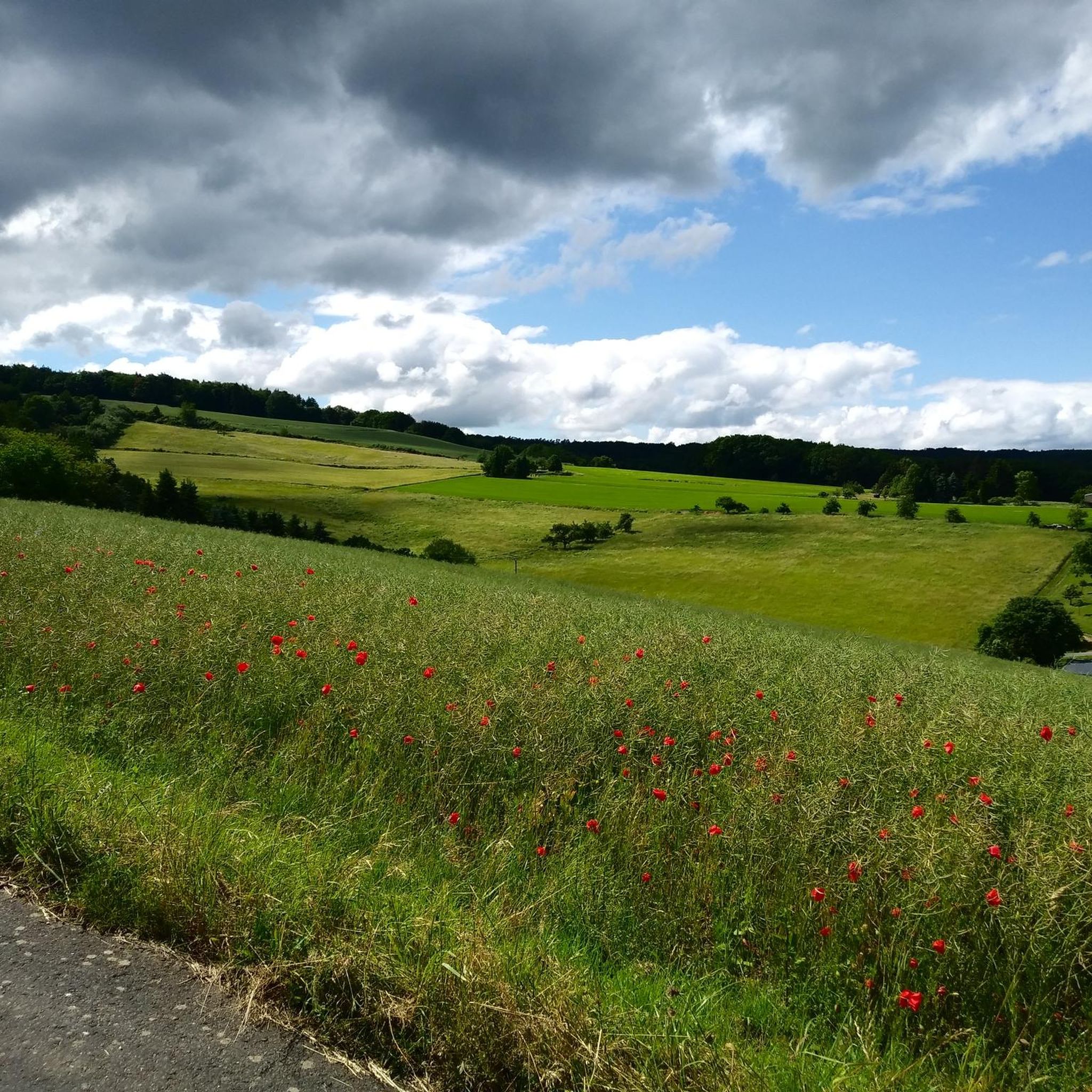
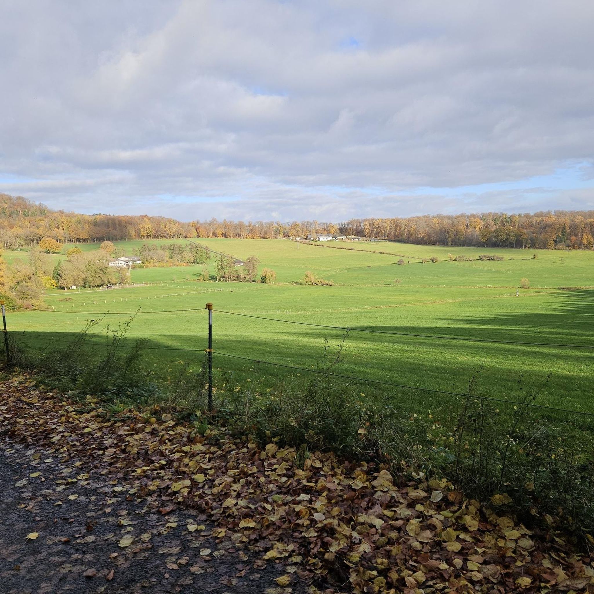
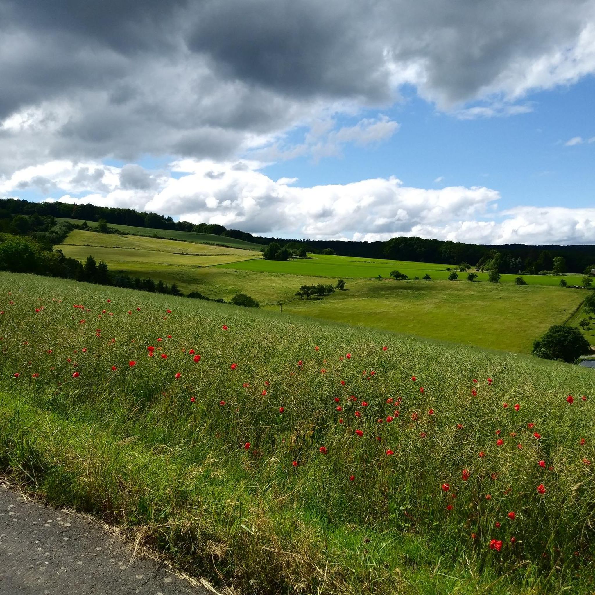
Best mountain peaks around Mudershausen are located in a region characterized by rolling hills and verdant forests in the Rhein-Lahn-Kreis of western Germany. While traditional towering peaks are not present, the area features several elevated points and scenic trails. These locations offer rewarding views and diverse hiking experiences for visitors. Mudershausen itself sits at an elevation of 265 meters.
Best mountain peaks around Mudershausen
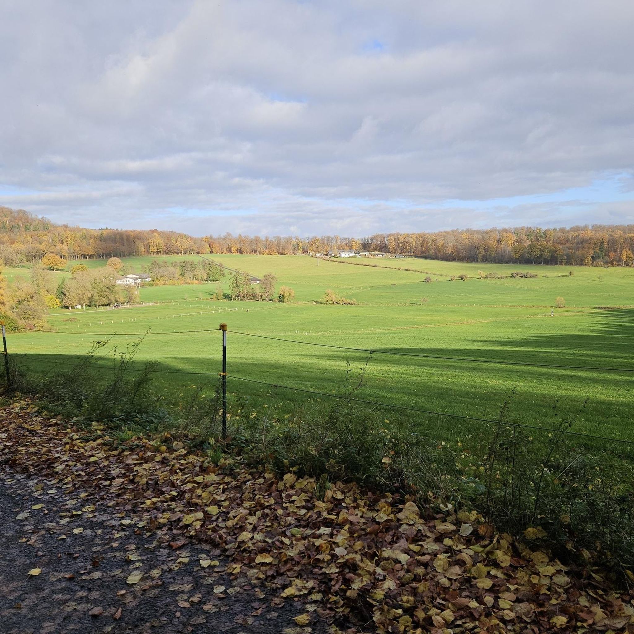
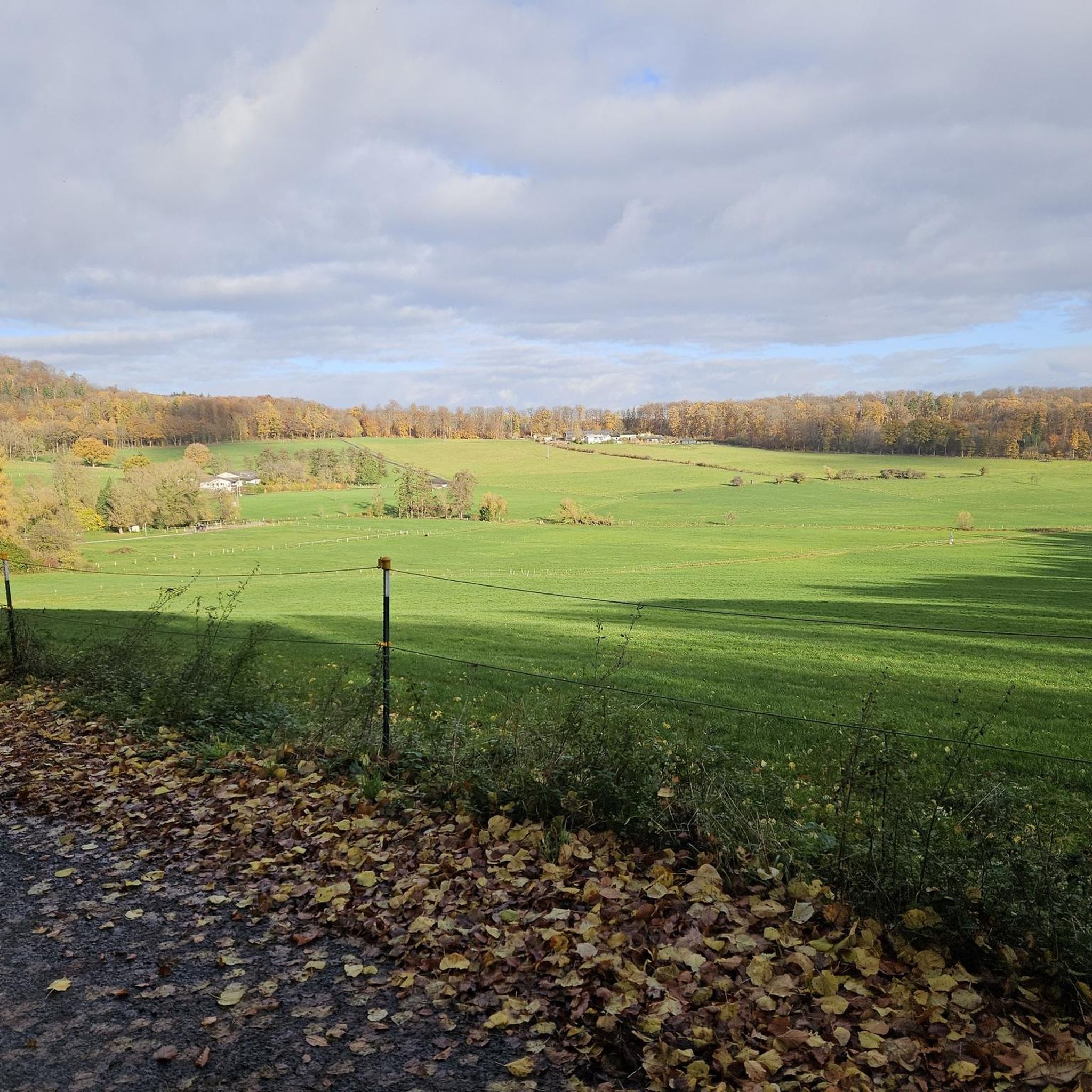
- The most popular mountain peaks is View from the Mensfelder Kopf, a viewpoint that offers a fantastic 360-degree view of Limburg and towards Feldberg. This location is also a gliding area and nature reserve.
- Another must-see spot is Ergenstein Summit, a summit. This elevation reaches 419 meters above sea level in the Taunus low mountain range, and features a shelter and a trigonometric point.
- Visitors also love View of the Lahn River bend from Gabelstein, a viewpoint offering views of the Lahn River. This spot provides a reward for climbs, with two rocks offering different perspectives.
- Mudershausen is known for viewpoints, summits, and scenic trails. These provide diverse hiking opportunities through gentle hills and green forests.
- The mountain peaks around Mudershausen are appreciated by the komoot community, with over 670 upvotes and 770 photos shared.
Last updated: July 1, 2026
View from the Mensfelder Kopf
Highlight • Viewpoint
Offers a fantastic view of Limburg and towards Feldberg
Translated by Google •
Tip by

View of the Lahn River bend from Gabelstein
Highlight • Viewpoint
Translated by Google •
Tip by

Sign up now to discover places like this
Get recommendations on the best single tracks, peaks, & plenty of other exciting outdoor places.
Sign up for free
Ergenstein Summit
Highlight • Summit
jakupka.de/erg-hahn.htm
Translated by Google •
Tip by

ErgWurz Trail
Highlight (Segment) • Trail
Translated by Google •
Tip by

Grauer Kopf Summit Cross
Highlight • Summit
But a nice starting point with a summit book to sign up.
Translated by Google •
Tip by

Sign up for free to discover even more peaks around Mudershausen.
Sign up for free
Already have an account?
Start today with a free account
Your next adventure awaits.
Login or Signup
Tips from the Community

The district boundaries of Schönborn and Hahnstätten meet on the Ergenstein. There used to be a lookout point here, but it is now overgrown. The Hahnstätter Heimat- und Verschönerungsverein has erected a shelter at this spot. Immediately next to the hut, a path leads to the boundary stone, which is about 150 meters away. There are also other paths that lead to the boundary stone. It is best to look out for the small wooden arrows that are on the trees. http://www.jakupka.de/erg-hahn.htm
1
0

The second highest mountain in the western Hintertaunus is crowned by a summit cross. Greetings can be left in the summit book. There is also a TP stone right next to the cross.
0
0

A summit cross stop .. 😁 But a nice starting point with a summit book to sign up.
2
0

Unfortunately without a view and in the shadow of a wind turbine
0
1

Great view from up here!
3
0

That's true.
3
0

With a nice descent (trail)
1
1

The Ergenstein is a 419.7 m above sea level. NHN high elevation in the German low mountain range Taunus. It is located near Schönborn in the Rhein-Lahn district of Rhineland-Palatinate
0
0
Frequently Asked Questions
What are some popular elevated points or viewpoints to visit near Mudershausen?
The region around Mudershausen, characterized by rolling hills, offers several rewarding elevated points and viewpoints. Popular spots include the View from the Mensfelder Kopf, which provides a fantastic 360-degree view, and the Ergenstein Summit, reaching 419 meters above sea level. Another favorite is the View of the Lahn River bend from Gabelstein, offering picturesque river views.
Are there family-friendly hiking options around Mudershausen?
Yes, the region offers several options suitable for families. The View from the Mensfelder Kopf is categorized as family-friendly and provides open spaces and views. Many local trails, such as those around Heideberg, are designed as natural learning paths with rest areas, making them enjoyable for extended family walks through gentle hills and green forests.
What kind of views can I expect from the elevated points in the Mudershausen region?
From the elevated points around Mudershausen, you can expect panoramic views of the surrounding gentle hills, verdant countryside, and dense forests. The View from the Mensfelder Kopf offers a 360-degree vista towards Limburg and Feldberg, while the View of the Lahn River bend from Gabelstein provides scenic perspectives of the Lahn River.
What is the highest point I can reach near Mudershausen?
The highest point mentioned in the immediate vicinity is the Ergenstein Summit, which reaches an altitude of 419 meters above sea level in the Taunus low mountain range. It features a shelter and a trigonometric point.
What outdoor activities can I do near these elevated points?
Beyond hiking to the elevated points, the Mudershausen area is excellent for various outdoor activities. You can explore numerous routes for gravel biking, running, and road cycling. For example, there are several gravel biking routes, running trails, and road cycling routes that traverse the scenic landscape.
Are there any historical landmarks integrated into hiking trails?
Yes, while not a mountain peak, the imposing Burg Hohlenfels is a significant historical landmark often incorporated into local hiking routes. Trails from Heideberg lead up to the castle, providing historical context and elevated perspectives of the area. One top-recommended tour, 'H4 - Burg Hohlenfels Blick,' is a 7.1 km hike that includes views of the castle.
What is the best time of year to visit Mudershausen for outdoor activities?
The best time to visit Mudershausen for outdoor activities, such as hiking and exploring the elevated points, is typically from spring to autumn. During these seasons, the weather is mild, and the natural scenery is in full bloom, offering ideal conditions for enjoying the region's green forests and gentle hills.
What is the <a href="https://www.komoot.com/highlight/1797589" target="_blank" rel="noopener">Grauer Kopf Summit Cross</a>?
The Grauer Kopf Summit Cross marks the summit of the second highest mountain in the western Hintertaunus. It's a popular stop for hikers, featuring a summit cross and a summit book where visitors can leave greetings. A TP stone is also located next to the cross.
Can I find trails that offer a challenge near Mudershausen?
Yes, some trails offer a more challenging experience. For instance, the path leading to the View of the Lahn River bend from Gabelstein is described as involving 'hearty climbs' that reward hikers with great views. The region's diverse hiking opportunities include routes with varying difficulty levels, catering to those seeking more strenuous walks.
What is the <a href="https://www.komoot.com/highlight/258647" target="_blank" rel="noopener">ErgWurz Trail</a> like?
The ErgWurz Trail is a short but highly regarded trail located in a beautiful forest area. While it's noted for its scenic beauty, it doesn't offer extensive views despite its altitude. It's considered an intermediate trail, perfect for a quick yet rewarding forest walk.
Are there opportunities for gliding or paragliding near Mudershausen?
Yes, the Mensfelder Kopf is known as a gliding area. This location, which also serves as a nature reserve, offers ideal conditions for gliding enthusiasts while providing stunning panoramic views of the surrounding landscape.
Most popular routes around Mudershausen
Most popular attractions around Mudershausen

Get inspired with the komoot mobile app


Explore more
See even more amazing summits around Mudershausen with these guides:
