The 6 Most Amazing Peaks around Oberneisen
Mountain peaks around Oberneisen are characterized by a hilly landscape within the Taunus region of Rheinland-Pfalz, Germany. The area offers numerous elevated points and trails that provide scenic views and opportunities for hiking. While not featuring traditional high alpine peaks, the region's terrain, shaped by former quarries, presents varied landscapes for exploration. These elevated areas are popular for accessible hiking opportunities and rewarding views of Oberneisen and its surroundings.
Best mountain peaks around Oberneisen
- The most popular mountain peaks is…
Last updated: July 1, 2026
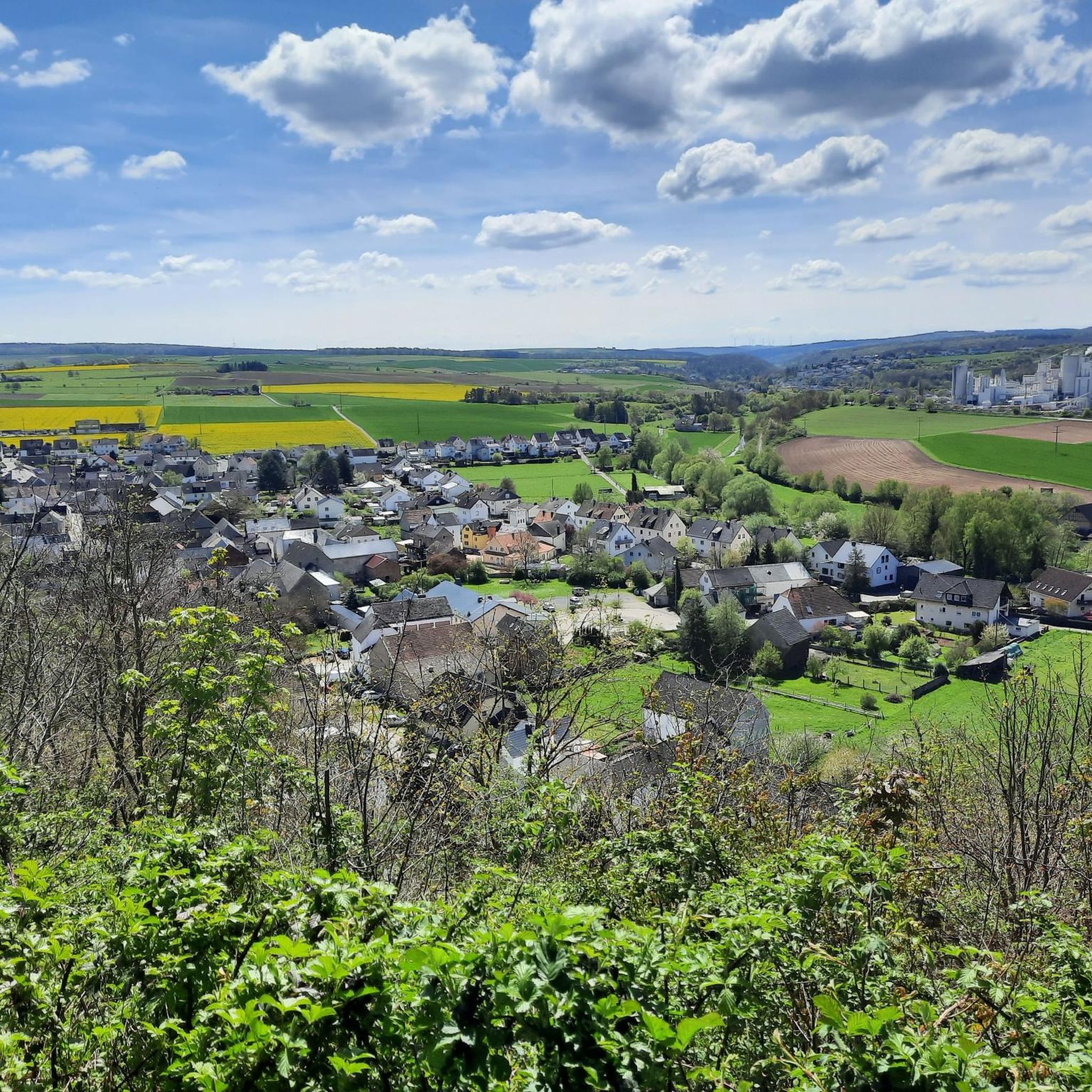
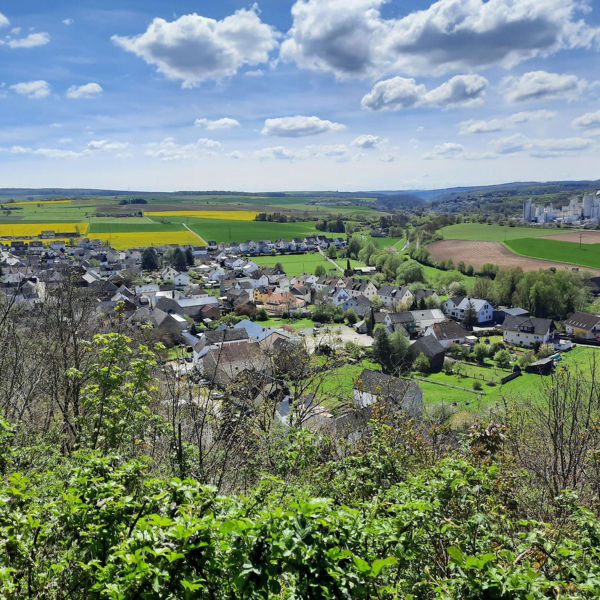
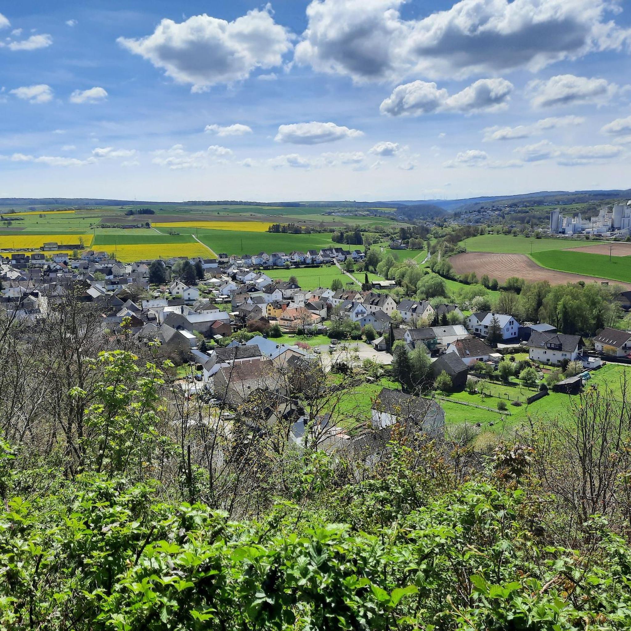
View from the Mensfelder Kopf
Highlight • Viewpoint
Offers a fantastic view of Limburg and towards Feldberg
Translated by Google •
Tip by

View of the Lahn River bend from Gabelstein
Highlight • Viewpoint
Translated by Google •
Tip by

Sign up now to discover places like this
Get recommendations on the best single tracks, peaks, & plenty of other exciting outdoor places.
Sign up for free
Ergenstein Summit
Highlight • Summit
Translated by Google •
Tip by

ErgWurz Trail
Highlight (Segment) • Trail
Translated by Google •
Tip by

Weißler Höhe summit marker
Highlight • Summit
Translated by Google •
Tip by

Sign up for free to discover even more peaks around Oberneisen.
Sign up for free
Already have an account?
Start today with a free account
Your next adventure awaits.
Login or Signup
Tips from the Community

The district boundaries of Schönborn and Hahnstätten meet on the Ergenstein. There used to be a lookout point here, but it is now overgrown. The Hahnstätter Heimat- und Verschönerungsverein has erected a shelter at this spot. Immediately next to the hut, a path leads to the boundary stone, which is about 150 meters away. There are also other paths that lead to the boundary stone. It is best to look out for the small wooden arrows that are on the trees. http://www.jakupka.de/erg-hahn.htm
1
0

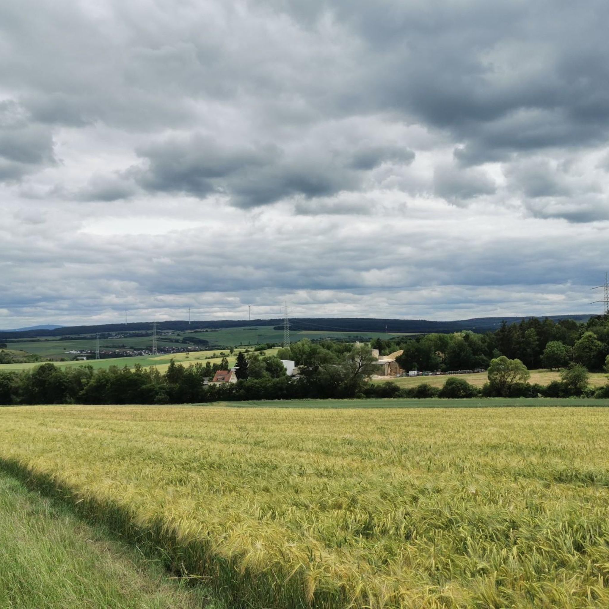
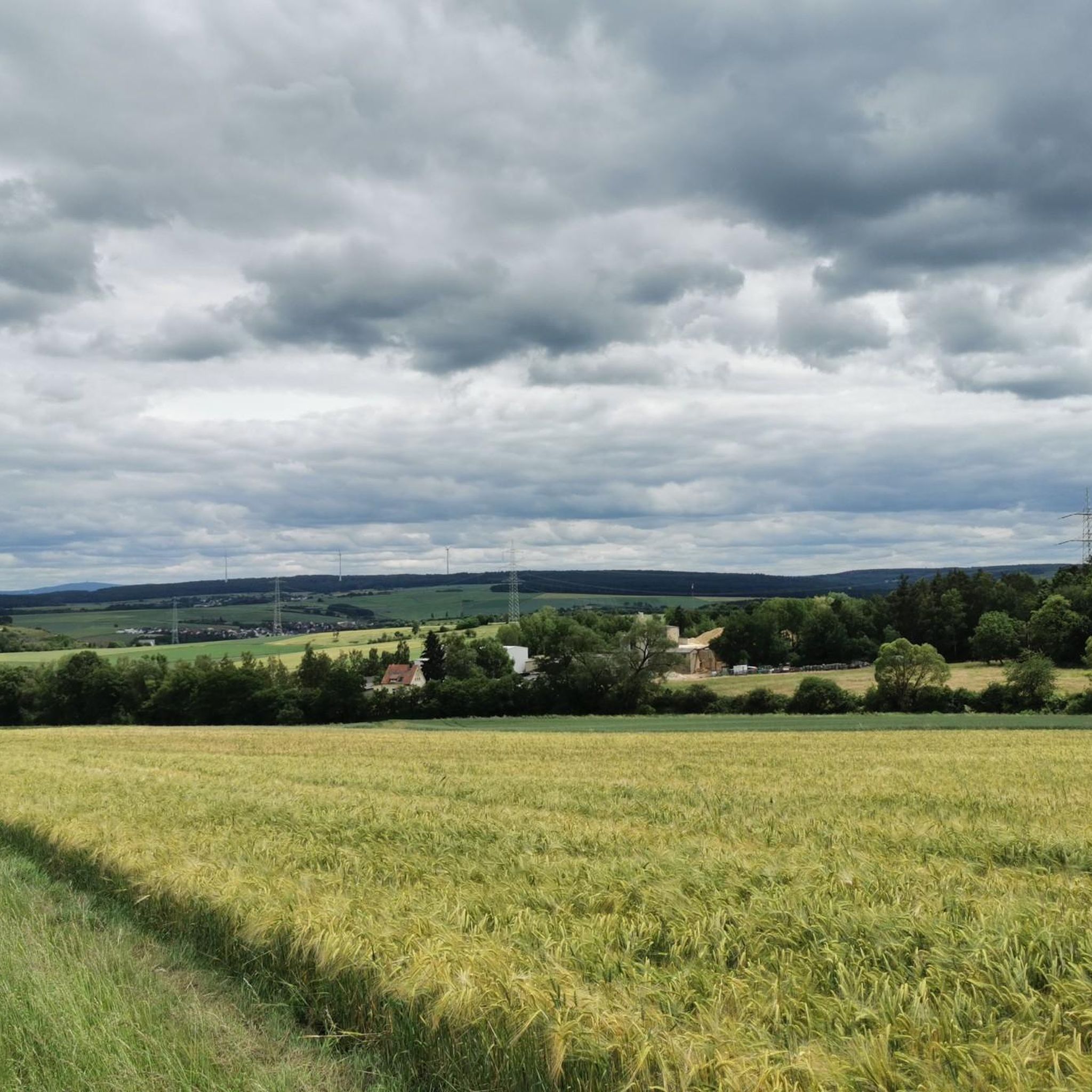
The Weißler Höhe summit is at a crossroads in the forest and is marked with a summit stone at an altitude of 456m above sea level
2
0

Great view from up here!
3
0

That's true.
3
0

The Ergenstein is a 419.7 m above sea level. NHN high elevation in the German low mountain range Taunus. It is located near Schönborn in the Rhein-Lahn district of Rhineland-Palatinate
0
0

Below is the Lahn with the loop around Cramberg. The hydropower plant located there uses the gradient of the Lahn loop and next to it is the railway line to Koblenz / Limburg.
3
0

Here you have a wonderful view and a great resting place
3
0

Fantastic view of the Lahn and the surrounding heights!
3
0
Frequently Asked Questions
What are the most notable elevated points and viewpoints around Oberneisen?
While Oberneisen is known for its hilly landscape rather than towering peaks, several elevated points offer rewarding views. The most popular is the View from the Mensfelder Kopf, which provides a fantastic 360-degree panorama towards Limburg and Feldberg. Another significant spot is the Ergenstein Summit, reaching 419 meters above sea level, featuring a trigonometric point and a shelter. For river views, the View of the Lahn River bend from Gabelstein offers scenic perspectives of the Lahn.
Are there family-friendly hiking options near Oberneisen's elevated areas?
Yes, the region offers several accessible hiking opportunities suitable for families. The trails around the Mensfelder Kopf generally have moderate difficulty and are popular for their views of the surrounding Taunus landscape. Additionally, the View from the Mensfelder Kopf is specifically categorized as family-friendly. For easier, shorter walks, routes like the 'Oberneisen Castle and Round Church – View of Lohrheim loop' are available, as detailed in the Hiking around Oberneisen guide.
What kind of natural features can I expect to see on trails around Oberneisen?
The landscape around Oberneisen is diverse, shaped by former quarries for lime and porphyry. You'll encounter varied terrain, including dense forests, open viewpoints, and river valleys. Highlights like the View of the Lahn River bend from Gabelstein offer stunning river vistas, while the View from the Mensfelder Kopf is part of a nature reserve, providing expansive natural scenery.
What hiking trails are available near Oberneisen's elevated points?
Oberneisen is surrounded by a network of hiking trails. The Aar-Höhenweg (Aar Ridge Trail) runs nearby, offering panoramic views of the Aartal. Other popular routes include hiking loops around the Mensfelder Kopf and trails near Burg Hohlenfels, which provide scenic views of the historic castle. For specific routes, you can explore the Hiking around Oberneisen guide, which features trails like the 'View from the Mensfelder Kopf – Mensfelder Kopf Nature Reserve loop'.
Are there challenging mountain trails for experienced hikers in the Oberneisen area?
While the region is generally characterized by moderate hills, some trails offer more challenging sections. The View of the Lahn River bend from Gabelstein is categorized as challenging, featuring hearty climbs. The ErgWurz Trail also offers a short but great trail experience for those looking for more dynamic terrain. For a broader selection of routes, including those with varying difficulty, consult the Hiking around Oberneisen guide.
What other outdoor activities can I do near the elevated points of Oberneisen?
Beyond hiking, the area around Oberneisen is excellent for cycling and running. You can find numerous routes for touring bicycles, such as the 'Castle Wall of Oberneisen – View of Mensfelden loop' in the Cycling around Oberneisen guide. For runners, trails like the 'Roman Spring Zollhaus – Antonius-Sprudel loop' are available, detailed in the Running Trails around Oberneisen guide.
What is the best time to visit Oberneisen for hiking and enjoying the views?
The Taunus region, where Oberneisen is located, is generally pleasant for outdoor activities from spring through autumn. These seasons offer mild temperatures and vibrant natural scenery, making them ideal for hiking and enjoying the panoramic views from elevated points like the Mensfelder Kopf. Even in winter, some trails may be accessible, but conditions can vary, so checking local weather is always recommended.
What do visitors particularly enjoy about the elevated points and trails near Oberneisen?
Visitors frequently praise the rewarding views and accessible hiking opportunities. The View from the Mensfelder Kopf is highly regarded for its 360-degree all-round views. Many appreciate the natural beauty of the Taunus and the chance to experience varied landscapes. The komoot community has shared over 770 photos and given more than 670 upvotes, highlighting the area's appeal for outdoor enthusiasts.
Are there any hidden gem trails or less-known elevated spots around Oberneisen?
While popular spots like Mensfelder Kopf are well-known, the region also offers less-trafficked paths. The ErgWurz Trail is a short but excellent trail for those looking for a more focused hiking experience. The Weißler Höhe summit marker, at 456m, is a summit stone located at a crossroads in the forest, offering a quiet, marked high point for those exploring deeper into the woods.
Can I find circular hiking routes near Oberneisen's elevated areas?
Yes, many of the hiking options around Oberneisen are designed as circular routes, allowing you to start and end at the same point. Examples include the 'View from the Mensfelder Kopf – Mensfelder Kopf Nature Reserve loop' and the 'View of Hohlenfels Castle – Hohlenfels Castle loop', both detailed in the Hiking around Oberneisen guide. These loops are great for exploring the area's natural beauty and viewpoints.
What is the Ergenstein Summit and what can I find there?
The Ergenstein Summit is an elevation reaching 419.7 meters above sea level in the Taunus low mountain range. It features a trigonometric point and a shelter erected by the local heritage association. Although an old lookout point is now overgrown, the area is significant as the meeting point of the district boundaries of Schönborn and Hahnstätten, with paths leading to a historic boundary stone.
Most popular routes around Oberneisen
Most popular attractions around Oberneisen

Get inspired with the komoot mobile app


Explore more
See even more amazing summits around Oberneisen with these guides:
