The best cycling routes in Culiacán
4.7
(159)
122
riders
10
rides
Touring cycling in Culiacán offers routes that navigate the city's urban and suburban landscapes, often following riverine paths. The terrain generally features low elevation gains, with some routes including gentle undulations. Bridges and local landmarks are common features along these cycling routes, providing varied scenery for riders.
Best touring cycling routes in Culiacán
- The most popular touring cycling route is Bike loop from Montecarlo, a 12.4 miles (20.0 km) trail that takes 1 hour 18 minutes to complete, offering…
Last updated: June 24, 2026
4.8
(73)
41
riders
20.0km
01:18
60m
60m
Easy bike ride. Great for any fitness level. Mostly paved surfaces. Suitable for all skill levels.
4.8
(81)
40
riders
22.3km
01:23
70m
70m
Easy bike ride. Great for any fitness level. Mostly paved surfaces. Suitable for all skill levels.

Sign up for free
5.0
(1)
10
riders
80.9km
05:07
720m
720m
Hard bike ride. Very good fitness required. Mostly paved surfaces. Suitable for all skill levels.
5.0
(1)
6
riders
12.6km
00:58
90m
80m
Easy bike ride. Great for any fitness level. Mostly paved surfaces. Suitable for all skill levels.
5
riders
35.2km
02:23
260m
260m
Moderate bike ride. Good fitness required. Mostly paved surfaces. Suitable for all skill levels.
5.0
(1)
6
riders
43.7km
02:48
250m
250m
Moderate bike ride. Good fitness required. Mostly paved surfaces. Suitable for all skill levels.
3.0
(1)
6
riders
31.3km
01:51
90m
90m
Easy bike ride. Great for any fitness level. Mostly paved surfaces. Suitable for all skill levels.
5.0
(1)
4
riders
58.8km
03:59
270m
270m
Moderate bike ride. Good fitness required. Mostly paved surfaces. Suitable for all skill levels.
Get access to more routes and recommendations from other explorers.
Sign up for free
Already have an account?
Our route recommendations are based on thousands of hikes, rides, and runs completed by other people on komoot.
Start today with a free account
Your next adventure awaits.
Login or Signup
Popular around Culiacán
Tips from the Community


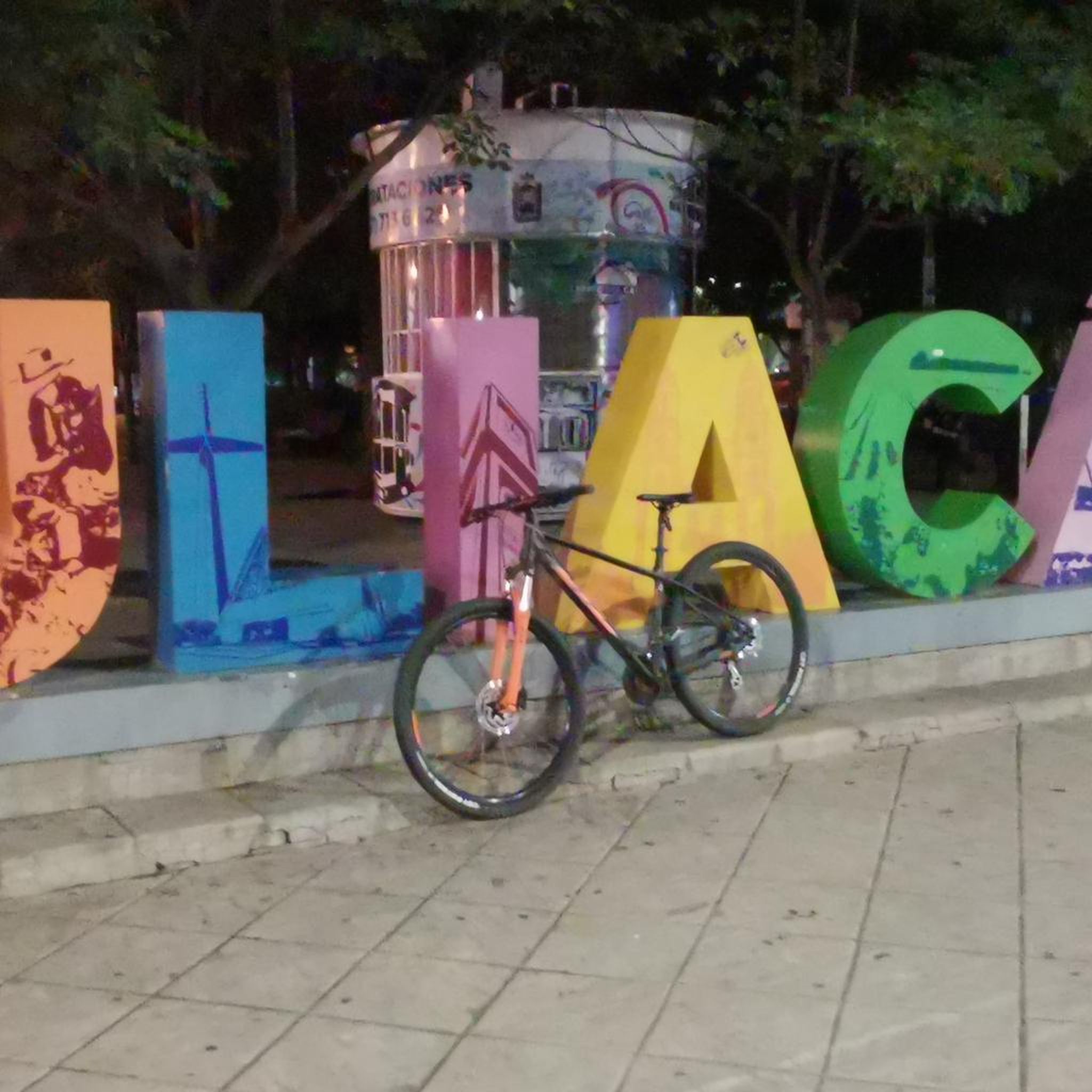
It is a place where apart from attending mass you can do sports such as walking and cycling
0
0
It is something historic in the city of Culiacán and from there you can join the bike path
0
0
Frequently Asked Questions
How many touring cycling routes are available in Culiacán?
Culiacán offers a diverse selection of over 10 touring cycling routes, catering to various skill levels and preferences. These routes navigate urban and suburban landscapes, often following riverine paths.
Are there touring cycling routes suitable for beginners in Culiacán?
Yes, Culiacán has several easy touring cycling routes perfect for beginners. For instance, the Bike loop from Montecarlo is a pleasant 12.4-mile (20.0 km) ride, and the Full loop from Autonomous University of Sinaloa offers an easy 13.9-mile (22.3 km) path with urban views.
Are there challenging touring cycling routes for experienced riders in Culiacán?
For experienced touring cyclists seeking a challenge, the Puente Negro de Culiacán – Full loop from Estacionamiento Soriana is a difficult 50.3-mile (80.9 km) route with significant elevation gain, providing a more demanding experience.
What is the best time of year for touring cycling in Culiacán?
The best time for touring cycling in Culiacán is generally during the dry season, from November to May, when temperatures are milder and rainfall is minimal. This ensures more comfortable riding conditions.
Are there family-friendly touring cycling routes in Culiacán?
Many of Culiacán's easy and moderate routes are suitable for families. The generally low elevation gains and riverine paths make for enjoyable rides. Consider routes like the View of the Dike loop from Isla de los Patos for a relatively short and scenic option.
Are there circular touring cycling routes in Culiacán?
Yes, many of the touring cycling routes in Culiacán are designed as loops, allowing you to start and end at the same point. Examples include the popular Alberca – Río Tamazula loop from Maralago, which takes you through riverine landscapes, and the Full – Puente Negro de Culiacán loop from Valle Alto.
What do other touring cyclists enjoy the most about touring cycling in Culiacán?
The touring cycling routes in Culiacán are highly rated by the komoot community, with an average score of 4.7 stars from over 150 reviews. Reviewers often praise the varied scenery, which includes urban environments, riverine paths, and local landmarks like bridges, offering a pleasant and accessible cycling experience.
Are there any scenic viewpoints or landmarks along Culiacán's touring cycling routes?
Several routes offer views of local landmarks and scenic spots. The View of the Dike loop from Isla de los Patos provides vistas of the dike, while routes like the Puente Negro de Culiacán – Full loop from Culiacán feature the iconic Puente Negro bridge.
Where can I find parking near touring cycling routes in Culiacán?
Many touring cycling routes in Culiacán start from urban areas or residential zones, where street parking may be available. For longer routes, consider starting points near larger establishments or public spaces that offer parking, such as the suggested starting point for the Puente Negro de Culiacán – Full loop from Estacionamiento Soriana.
Is public transport available to access touring cycling routes in Culiacán?
Culiacán has a local public transport system that can help you reach various parts of the city. While specific routes may not directly connect to all trailheads, many cycling routes are accessible from urban areas, making it possible to combine public transport with a short ride to your starting point.
Are there any lesser-known or 'hidden gem' touring cycling routes in Culiacán?
While the guide highlights popular routes, exploring the network of riverine paths and quieter suburban streets can reveal charming, less-trafficked sections. The Puente Negro de Culiacán loop from Villas del Río, for example, offers a moderate 36.5-mile (58.8 km) ride that might provide a different perspective of the area.
Most popular routes in Culiacán

Get inspired with the komoot mobile app


