The best walks and hikes around Großdubrau
4.5
(535)
2,570
hikers
114
hikes
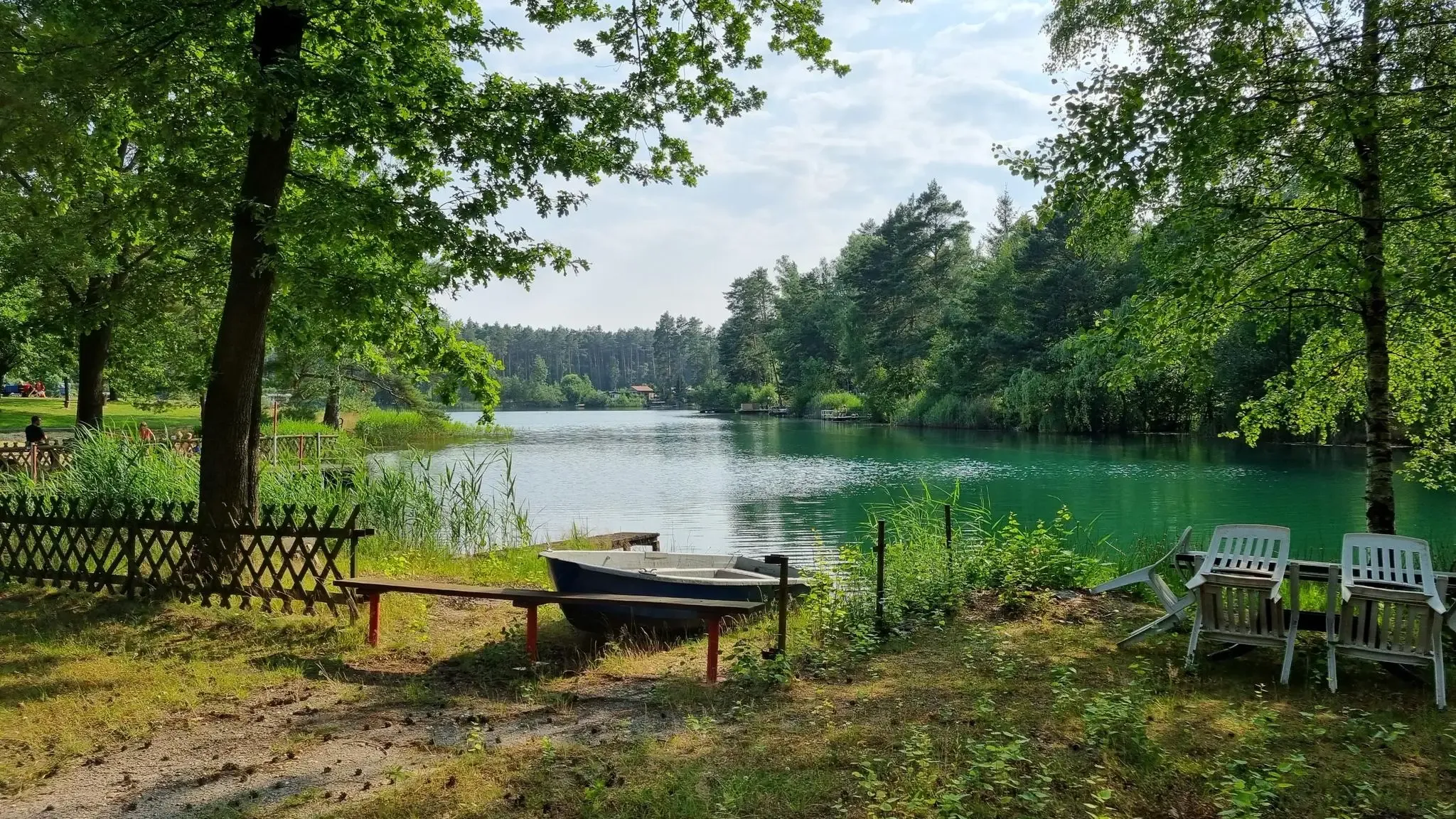
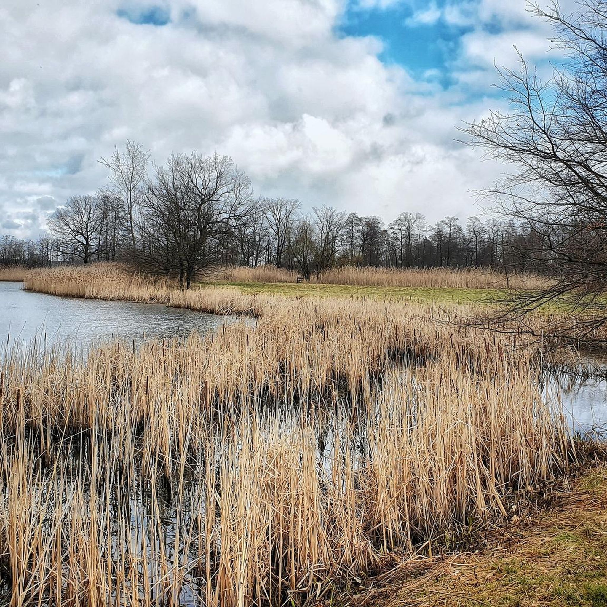
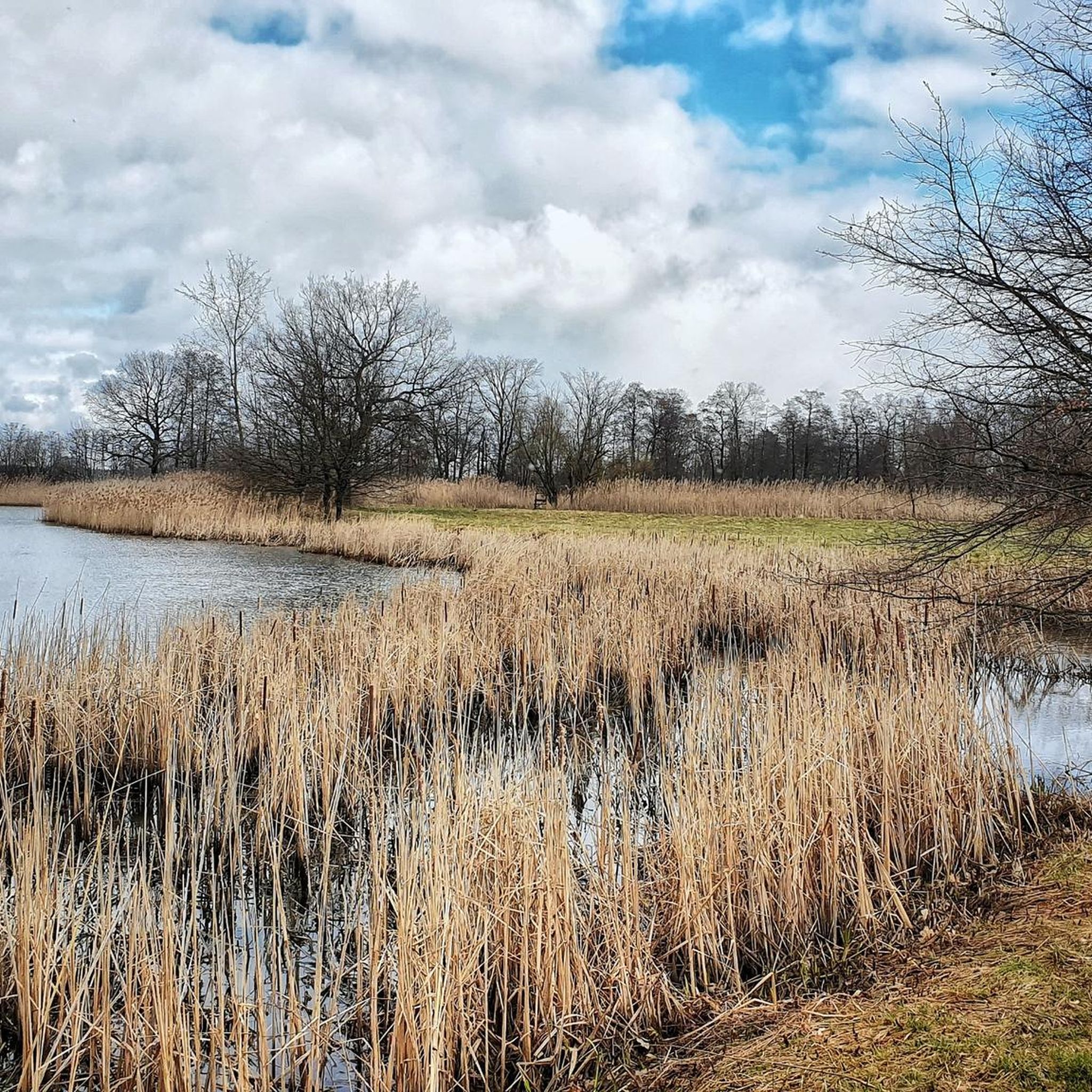
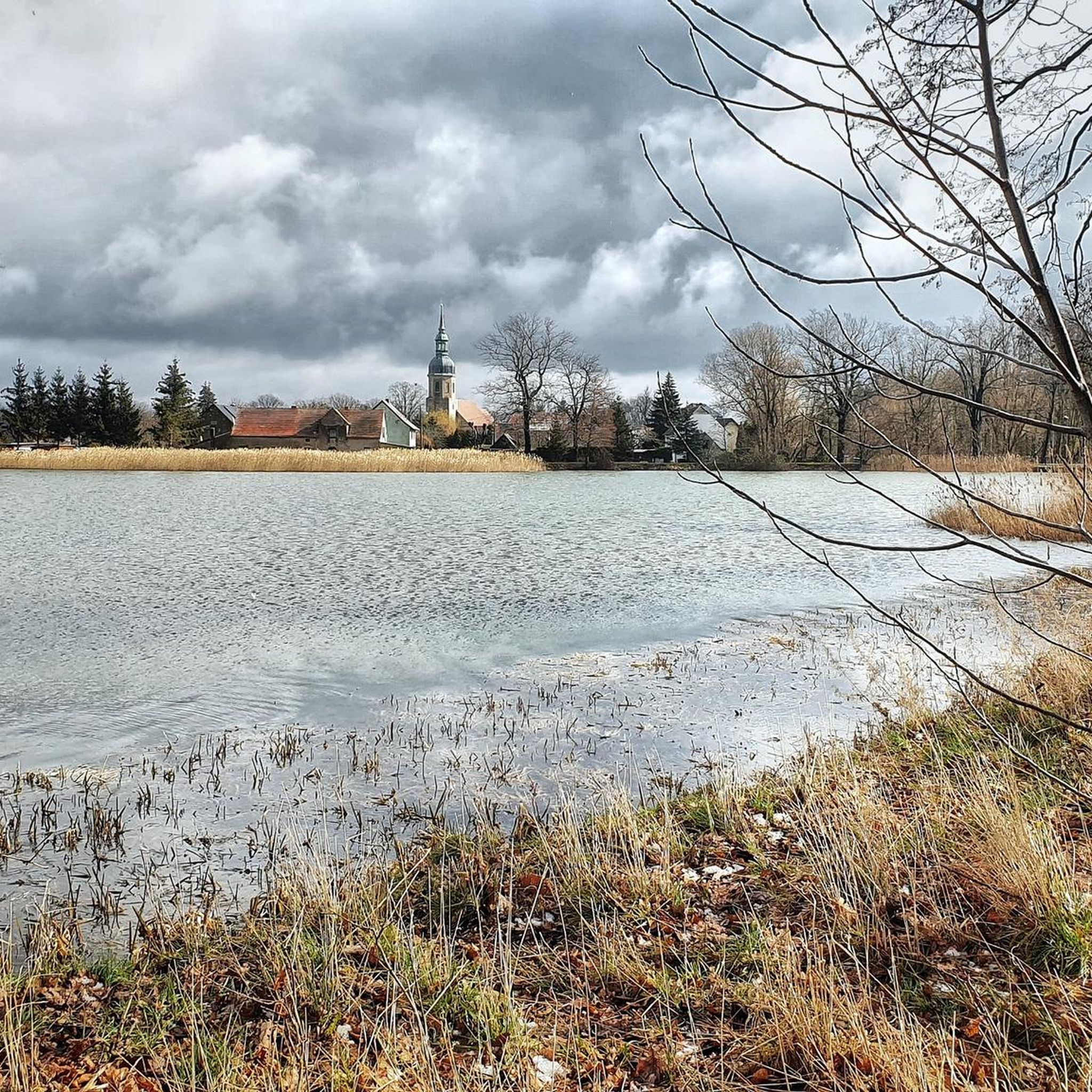
Hiking around Großdubrau offers diverse trails through the Upper Lusatian Heath and Pond Landscape. The region is characterized by extensive pond systems, ancient forests, and unique geological formations from its mining past. Notable features include the Hohe Dubrau, the highest elevation in the area, and former kaolin mines like the "Blaue Adria" now used for recreation. These landscapes provide varied terrain for outdoor activities.
Best hiking trails around Großdubrau
- The most popular hiking route is Milkel Castle – Pechelteiche loop…
Last updated: June 26, 2026
4.9
(11)
25
hikers
Moderate hike. Good fitness required. Easily-accessible paths. Suitable for all skill levels.
5.0
(3)
10
hikers
Moderate hike. Good fitness required. Easily-accessible paths. Suitable for all skill levels.

Sign up for free
4.3
(3)
10
hikers
18.5km
04:41
40m
40m
Moderate hike. Good fitness required. Easily-accessible paths. Suitable for all skill levels.
4.6
(5)
19
hikers
Easy hike. Great for any fitness level. Easily-accessible paths. Suitable for all skill levels.
5.0
(2)
12
hikers
Easy hike. Great for any fitness level. Easily-accessible paths. Suitable for all skill levels.
Get access to more routes and recommendations from other explorers.
Sign up for free
Already have an account?
Our route recommendations are based on thousands of hikes, rides, and runs completed by other people on komoot.
Start today with a free account
Your next adventure awaits.
Login or Signup
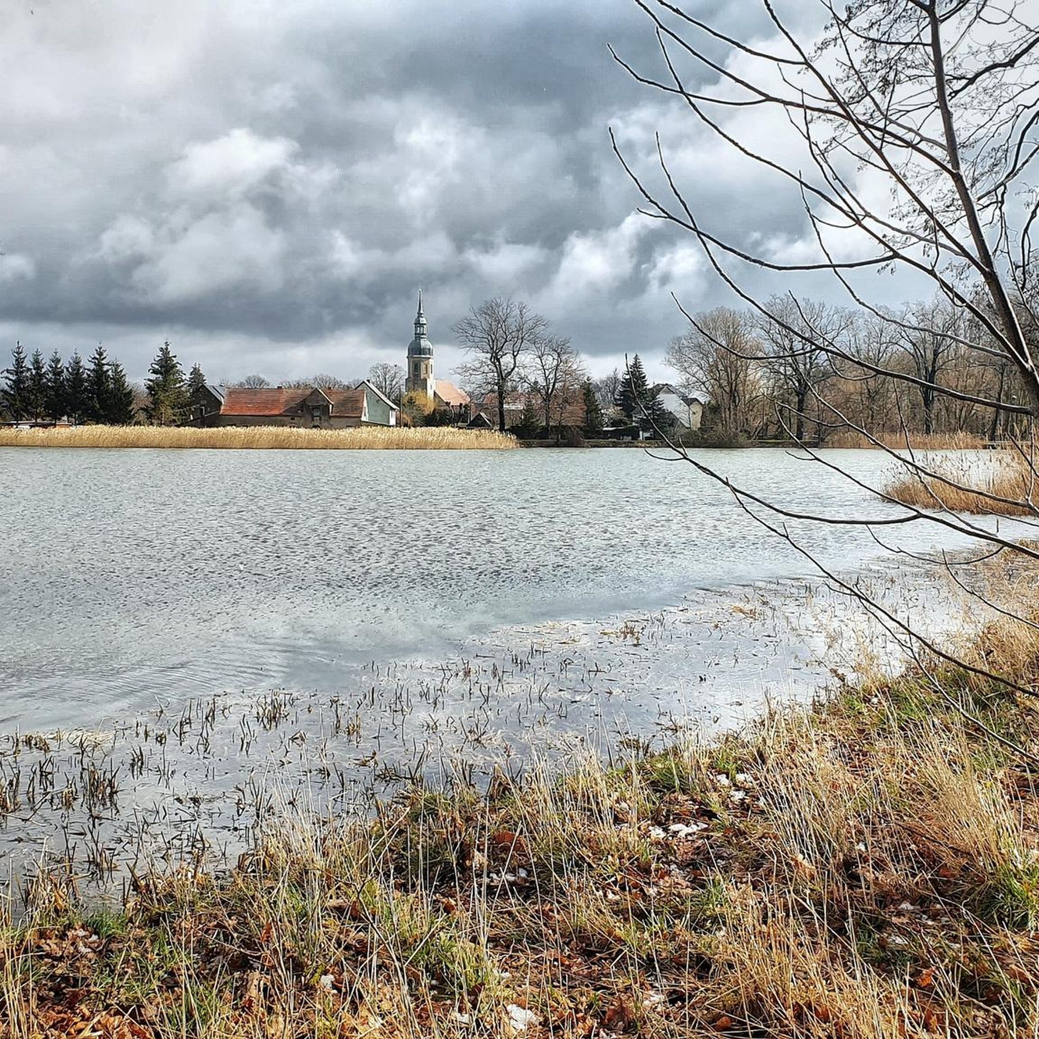
Other adventures around Großdubrau

Tips from the Community

It's a lovely shelter for cyclists. You simply have to have a little picnic here!
1
0

Open all day Very well-maintained with a bike parking space. Very satisfied.
0
0

I have rarely seen such a beautiful and well-maintained rest area, even with e-bike charging and USB ports.
0
0

New rest area at the Roten Lug with benches and information boards.
0
0
Here you can see and hear the flora and fauna undisturbed, a delight.
1
0
Very clean, inviting, also ideal for cyclists.
1
0
Truly a gem, the Wi-Fi even works. Very clean and inviting.
1
0
Very nice rest area, also very educational thanks to the signs.
0
0
Frequently Asked Questions
How many hiking trails are available around Großdubrau?
Großdubrau offers a wide selection of hiking opportunities, with over 100 routes available to explore the diverse landscapes of the Upper Lusatian Heath and Pond Landscape.
What kind of terrain can I expect on hikes in Großdubrau?
The terrain around Großdubrau is generally easy to moderate, characterized by extensive pond landscapes, ancient forests, and unique geological formations from its mining past. While the Malschwitz Bell – Upper Lusatian Pond Landscape loop offers some elevation changes, most routes are relatively flat, making them accessible for various fitness levels.
Are there any prominent natural landmarks or viewpoints to discover?
Yes, the region features the Hohe Dubrau, the highest elevation in the Upper Lusatian Heath and Pond Landscape. While its summit is forested, the nearby Monument Mountain provides magnificent panoramic views over Lusatia. You can also find viewpoints like the View of the Boxberg Power Plant from Lake Bärwalder.
Can I find family-friendly hiking options in Großdubrau?
Absolutely. Many trails in Großdubrau are suitable for families, offering easy to moderate difficulty levels. An example of an easy route is the Roter Lug Birdwatching Station – Schloss Spreewiese loop from Spreewiese - Lichań, which is relatively short and has minimal elevation gain.
Are dogs allowed on the hiking trails in Großdubrau?
Yes, dogs are generally welcome on the hiking trails in Großdubrau. However, as the area is part of a biosphere reserve and features sensitive pond landscapes, it's always recommended to keep dogs on a leash, especially near wildlife and livestock, and to respect local regulations.
Are there circular hiking routes available?
Yes, circular routes are a popular way to explore Großdubrau. Many trails are designed as loops, allowing you to start and end at the same point. Examples include the Milkel Castle – Pechelteiche loop from Kauppa - Kupoj and the Pechelteiche – Favorite spot at the Großteich loop from Großdubrau - Wulka Dubrawa.
What are some interesting places to explore along the trails, like lakes or former mining sites?
The region is rich with interesting sites. You can explore the Blaue Adria, a popular recreational area transformed from a former kaolin mine into a bathing lake. The Kohlengrube, a former open-pit lignite mine, is now used for fishing. The picturesque Pechelteiche are also prominent features. For more water-based attractions, consider visiting the Boxberg Beach at Bärwalder Lake or the Swimming beach at Bautzen Reservoir.
What is the best time of year to go hiking in Großdubrau?
The Upper Lusatian Heath and Pond Landscape is beautiful year-round. Spring and autumn offer pleasant temperatures and vibrant colors, while summer is ideal for combining hikes with swimming in the local lakes. Winter hiking is also possible, offering a tranquil experience in the snow-covered landscapes.
Are there any places to stop for refreshments or shelter along the hiking routes?
Yes, you can find various shelters and huts along the trails, such as the Interactive Fisherman's Hut or the Shelter With Lake View at Großteich Milkel. While specific cafes directly on every trail might be limited, the villages and towns in the region offer options for refreshments.
What do other hikers appreciate most about the trails in Großdubrau?
The trails in Großdubrau are highly rated by the komoot community, with an average score of 4.4 stars from over 100 reviews. Hikers often praise the tranquil pond scenery, the ancient forests, and the well-maintained paths that offer a peaceful escape into nature.
Is there a specific trail that explores the "Blaue Adria" area?
Yes, the Großdubrau Circular Hiking Trail (Rundwanderweg Großdubrau) is a 9 km route that guides hikers past several local points of interest, including the "Blaue Adria" and the "Kohlengrube," offering a great way to experience these unique former mining sites.
What kind of wildlife can I expect to see, especially birds?
The Upper Lusatian Heath and Pond Landscape is a biosphere reserve known for its rich biodiversity, particularly its birdlife. Keep an eye out for various waterfowl around the ponds, and you might even spot a sea eagle, as the region is home to the Seeadler-Radweg (Sea Eagle Cycle Path).
Most popular routes around Großdubrau
Most popular attractions around Großdubrau

Get inspired with the komoot mobile app


Explore more
Browse the best Hikes in other regions.
