The best road cycling routes in Cuautinchán
5.0
(6)
31
riders
2
rides
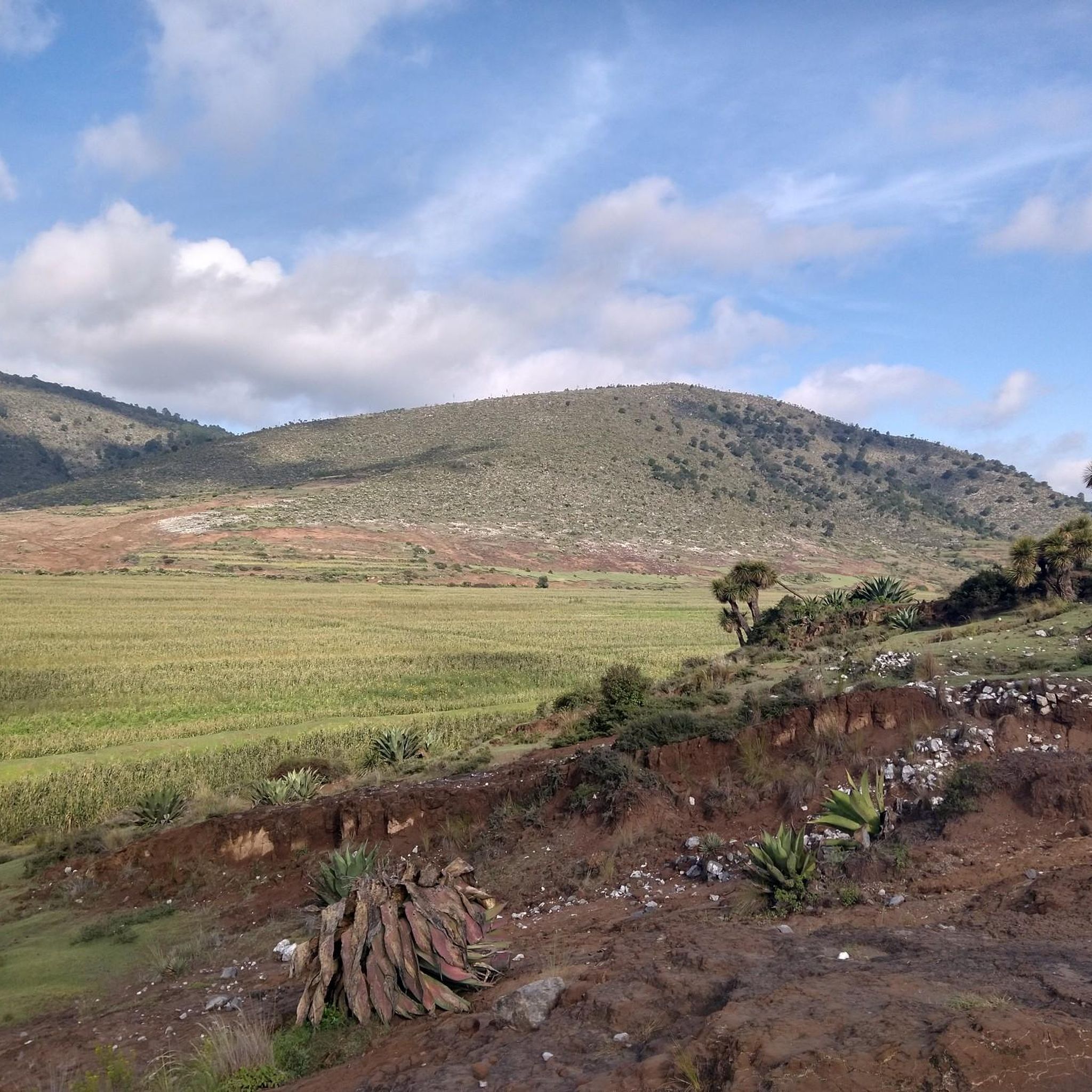
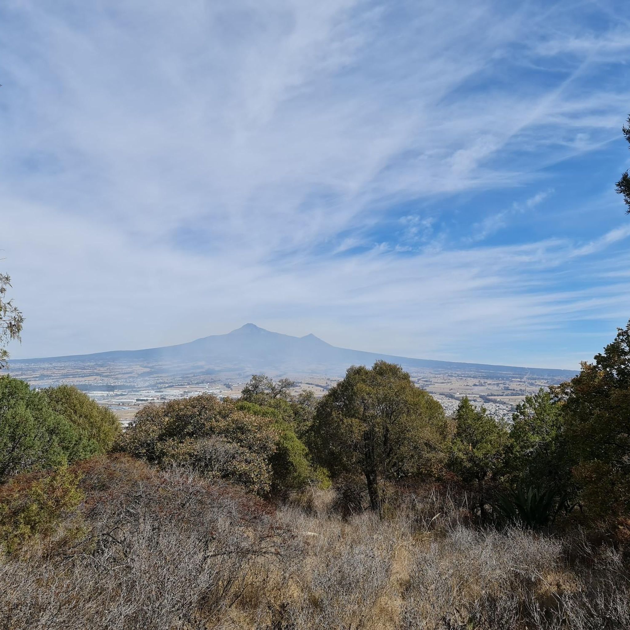
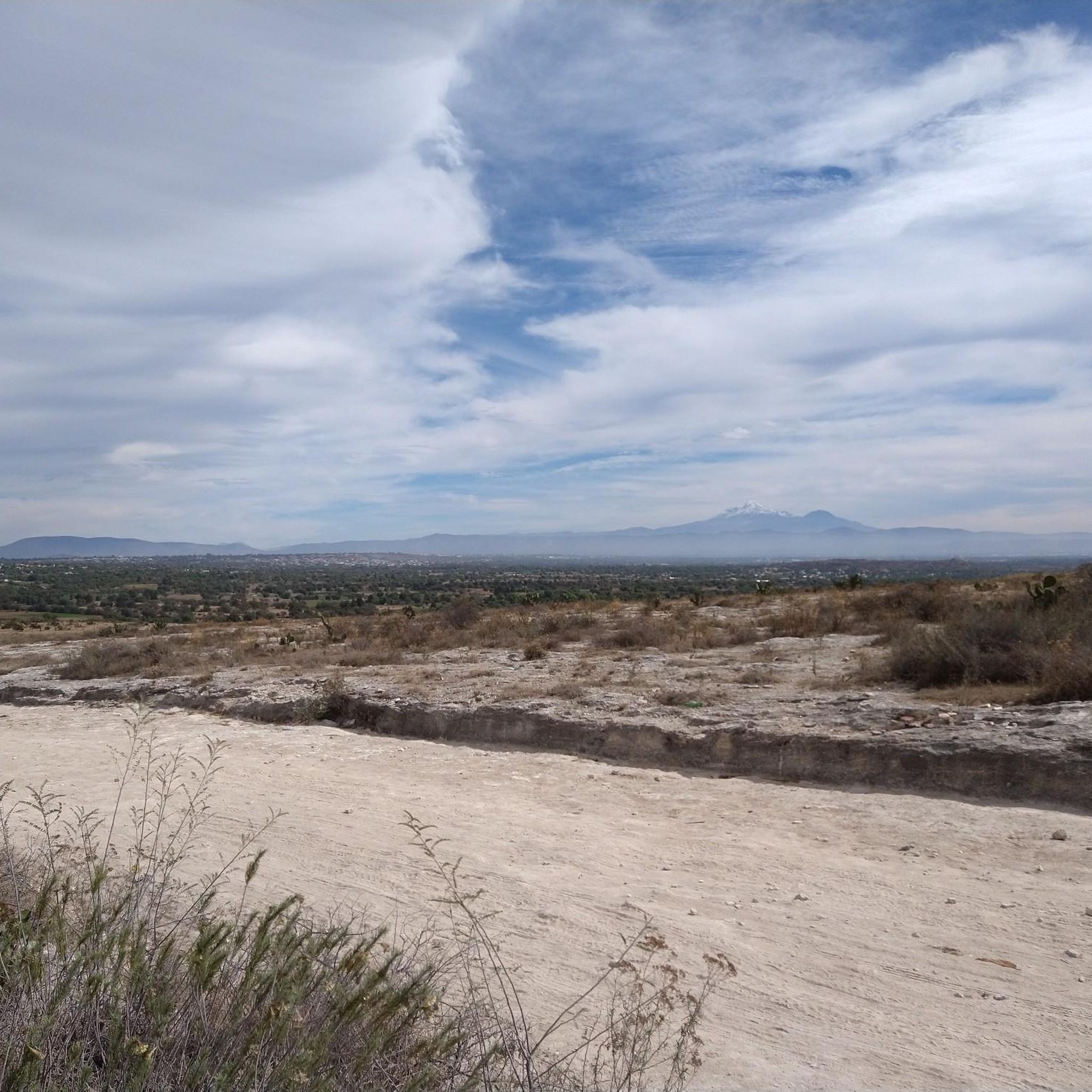
Road cycling in Cuautinchán, Puebla, offers diverse landscapes with significant elevation changes and varied gradients. The region features high-altitude terrain, providing panoramic views of the Popocatépetl and Iztaccíhuatl volcanoes. Cyclists encounter riverine landscapes along the Tenexcalco, San José Morelos, and San Pedro Alpatlahuac rivers, alongside oak forests and shrubby vegetation. The area's mountainous surroundings contribute to a challenging and scenic road cycling experience.
Best road cycling routes in Cuautinchán
- The most popular road cycling route is Descent at Police Academy…
Last updated: July 2, 2026
5.0
(1)
20
riders
Moderate road ride. Good fitness required. Some segments of this route may be unpaved and difficult to ride.
5.0
(3)
5
riders
43.2km
01:58
400m
400m
Moderate road ride. Good fitness required. Some segments of this route may be unpaved and difficult to ride.

Sign up for free
5.0
(2)
6
riders
72.8km
03:30
900m
900m
Moderate road ride. Good fitness required. Some segments of this route may be unpaved and difficult to ride.
Our route recommendations are based on thousands of hikes, rides, and runs completed by other people on komoot.
Start today with a free account
Your next adventure awaits.
Login or Signup
Popular around Cuautinchán
Tips from the Community

If you are a beginner, take your precautions on the descents, the terrain is good but it has one or two potholes, (be careful with that)
0
0
To all those who are looking for a good route to squeeze their legs, you have to know this route 👍, bring a good sandwich 🫡and good luck warrior
0
0
Frequently Asked Questions
What kind of terrain can I expect when road cycling in Cuautinchán?
Cuautinchán offers diverse landscapes with significant elevation changes and varied gradients. You'll encounter high-altitude terrain, mountainous surroundings, and riverine landscapes along the Tenexcalco, San José Morelos, and San Pedro Alpatlahuac rivers. The routes often pass through oak forests and shrubby vegetation, providing a challenging and scenic experience.
Are there road cycling routes suitable for different skill levels?
Yes, the road cycling network in Cuautinchán offers options for various ability levels. While many routes feature moderate climbs and significant elevation gain, such as the Descent at Police Academy – Santa Cruz Alpuyeca loop from San Francisco Totimehuacán, the varied gradients mean you can find rides that match your comfort level, from balanced rides to longer, more challenging excursions.
What scenic views and natural features can I see along the road cycling routes?
Cyclists can enjoy panoramic views of the iconic Popocatépetl and Iztaccíhuatl volcanoes. The routes also lead through tranquil riverine landscapes, including the Tenexcalco River, which offers an "oasis natural" with clear waters, and the San José Morelos River, known for its peaceful refuge. You'll also ride through areas with oak forests and diverse shrubby vegetation.
Are there any historical or cultural sites to visit near the road cycling routes?
Absolutely. The Ex-Convento de San Juan Bautista in Cuautinchán is a prominent historical attraction, offering a glimpse into the region's colonial past with its temple, cloisters, and a museum. While not directly on a route, Africam Safari is also a significant nearby wildlife park in Puebla that cyclists might pass close to or choose to visit.
When is the best time of year to road cycle in Cuautinchán?
The region's high-altitude environment means weather can vary. Generally, the dry season (roughly November to April) offers more stable conditions for cycling. However, it's always advisable to check local weather forecasts before heading out, especially considering the potential for thinner air at altitudes between 8,000 and 9,000 feet.
What are the road conditions like for cycling in Cuautinchán?
Road quality in the broader Puebla region can vary. While some main roads are well-paved, cyclists exploring less trafficked routes connecting smaller towns might encounter sections with varying surfaces. These smaller roads often provide a more serene cycling experience away from heavy traffic.
Are there loop trails available for road cycling in Cuautinchán?
Yes, several popular road cycling routes in Cuautinchán are designed as loops. Examples include the Descent at Police Academy – Santa Cruz Alpuyeca loop from San Francisco Totimehuacán and the Acatzitzimitla – Meyalapa loop from San Hipólito Xochiltenango, offering convenient circular rides.
What do other road cyclists enjoy most about road cycling in Cuautinchán?
The area is highly rated by the komoot community, with an average score of 5.0 stars from more than 5 reviews. Cyclists often praise the challenging routes, the stunning volcanic vistas, and the diverse landscapes that make for a rewarding and scenic ride.
Is it possible to find cafes or restaurants near the road cycling routes?
While specific cafes directly on every route are not detailed, the proximity to towns and smaller communities suggests that you can find places to refuel. Planning your route to pass through or near these areas will ensure you have access to refreshments and local eateries.
What are the typical elevation challenges for road cycling in Cuautinchán?
Road cycling in Cuautinchán involves significant elevation changes due to its mountainous surroundings and high-altitude terrain. Routes like the Barranca Coahuilapa – Cerro Cuanalapa loop from Municipio de Puebla feature considerable climbs, with some rides reaching altitudes between 8,000 and 9,000 feet, adding a challenging dimension to your experience.
Are there options for family-friendly road cycling in Cuautinchán?
While many routes in Cuautinchán feature significant elevation changes, the varied terrain means that with careful planning, families might find less strenuous sections or quieter roads. It's recommended to review route profiles for distance and elevation gain to choose paths suitable for all family members.
How can I find parking for road cycling routes in Cuautinchán?
For routes starting from towns or larger communities, parking is generally available in designated areas. When planning your ride, consider starting points in places like San Francisco Totimehuacán or San Hipólito Xochiltenango, which serve as common access points for the region's cycling routes.

Get inspired with the komoot mobile app


Explore more
Browse the best Road cycling routes in other regions.
