The 17 Most Amazing Peaks around Ehrenfriedersdorf
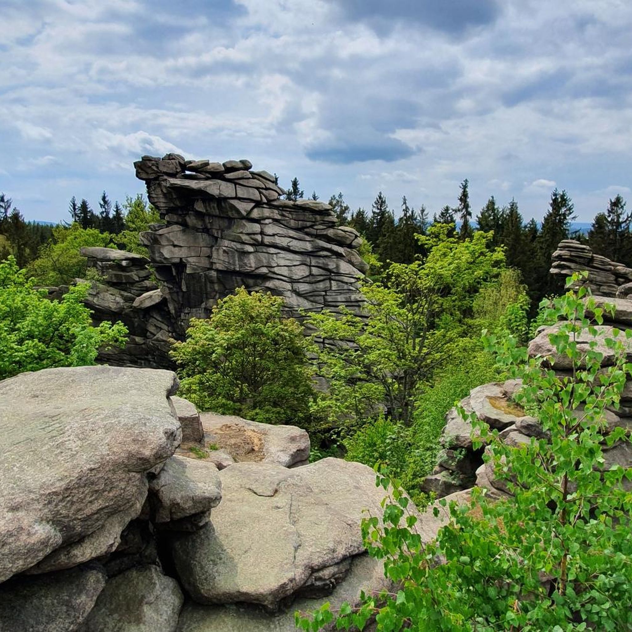
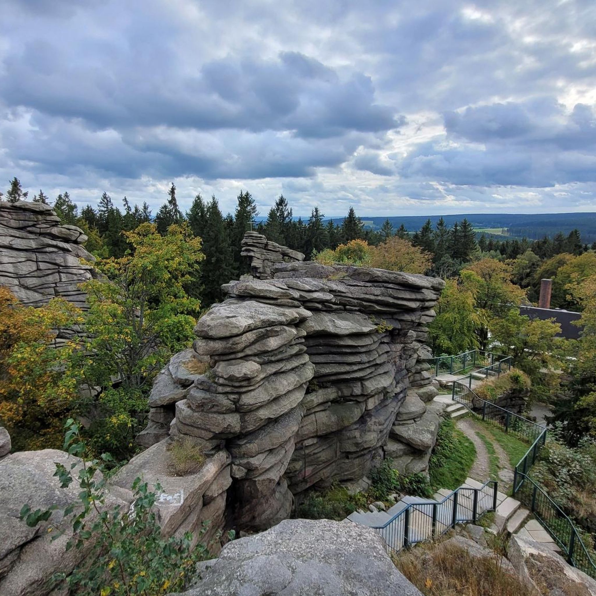
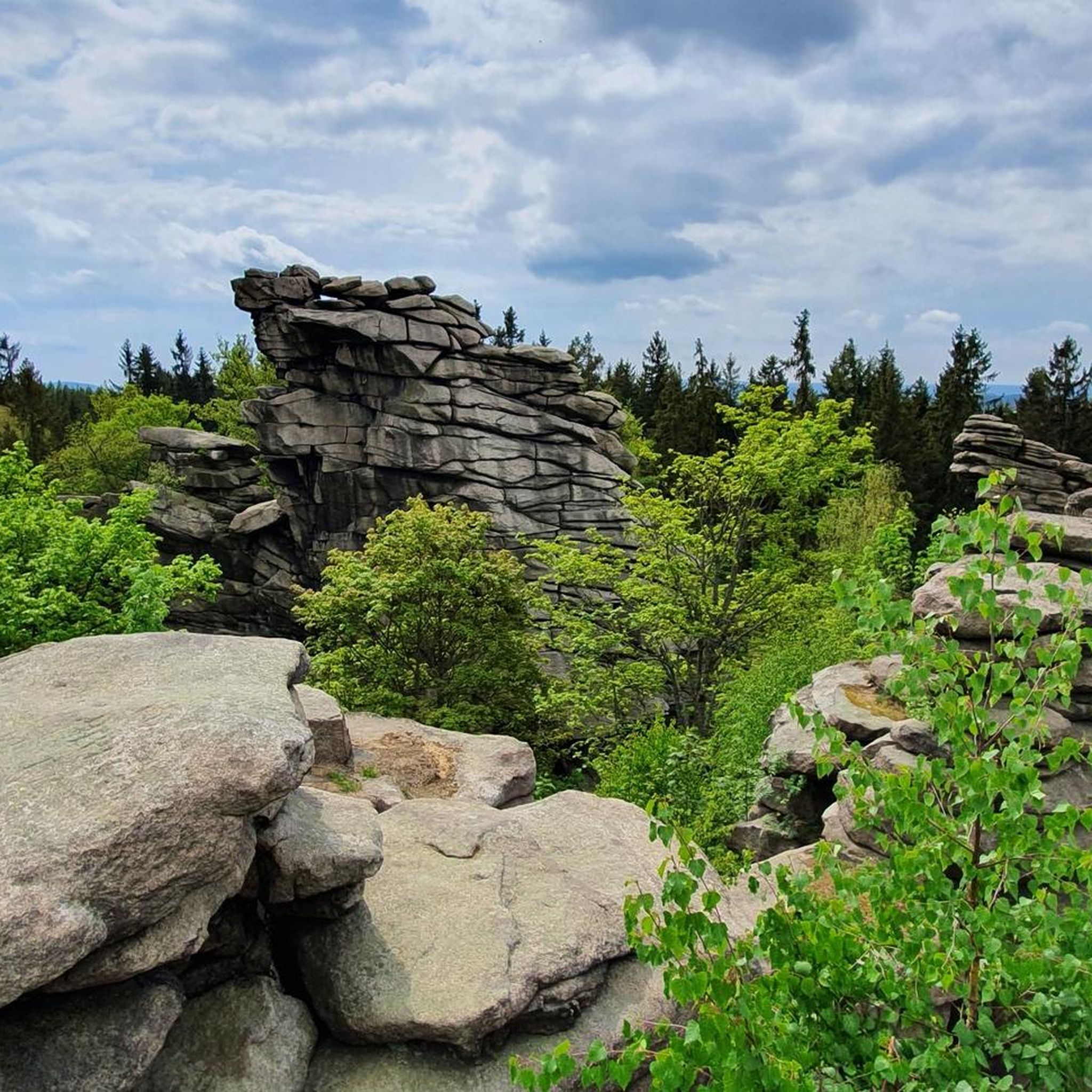
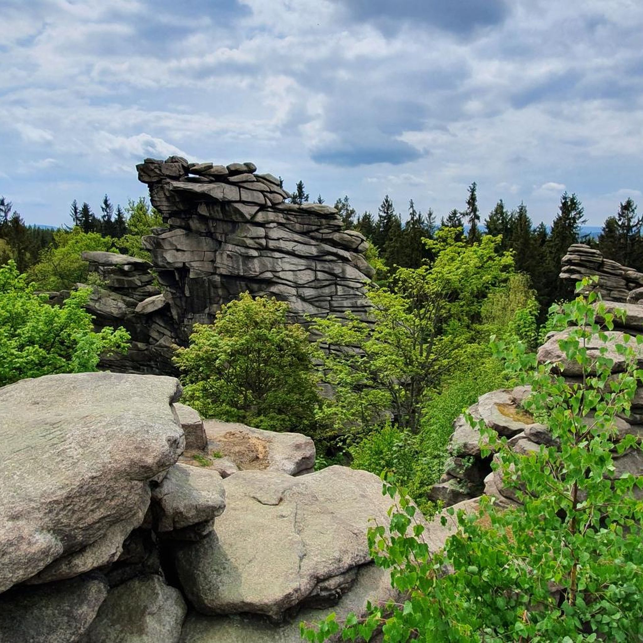
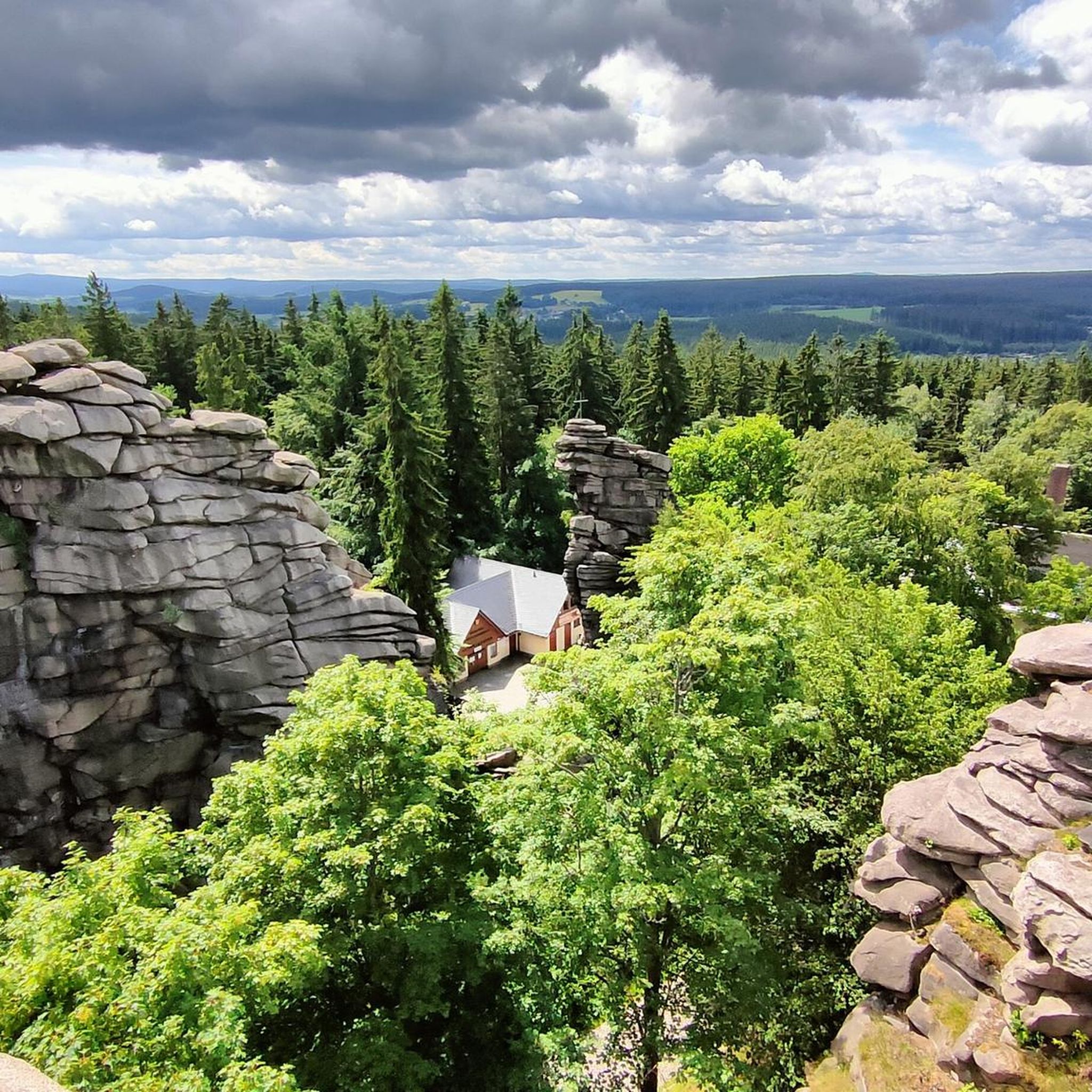
Best mountain peaks around Ehrenfriedersdorf are found within the scenic Ore Mountains, offering diverse natural features. The region is characterized by elevated natural features, including granite rock formations like the Greifensteine, which provide panoramic views. These areas offer significant geological interest and recreational opportunities for visitors. Ehrenfriedersdorf's landscape also reflects a rich mining history, adding cultural depth to its natural attractions.
Best mountain peaks around Ehrenfriedersdorf
- The most popular mountain peaks is Pöhlberg Observation Tower and Berghotel Röthberg, a…
Last updated: July 7, 2026
Pöhlberg Observation Tower and Berghotel Röthberg
Highlight • Viewpoint
Translated by Google •
Tip by

Dreibrüderhöhe Observation Tower
Highlight • Viewpoint
Translated by Google •
Tip by
Sign up now to discover places like this
Get recommendations on the best single tracks, peaks, & plenty of other exciting outdoor places.
Sign up for free
Tabakstanne
Highlight • Summit
Translated by Google •
Tip by

Schatzenstein
Highlight • Monument
Translated by Google •
Tip by

Schreckenberg Tower
Highlight • Monument
Translated by Google •
Tip by

Sign up for free to discover even more peaks around Ehrenfriedersdorf.
Sign up for free
Already have an account?
Start today with a free account
Your next adventure awaits.
Login or Signup
Popular around Ehrenfriedersdorf

Let it flow! Cross-country skiing in the Ore Mountains
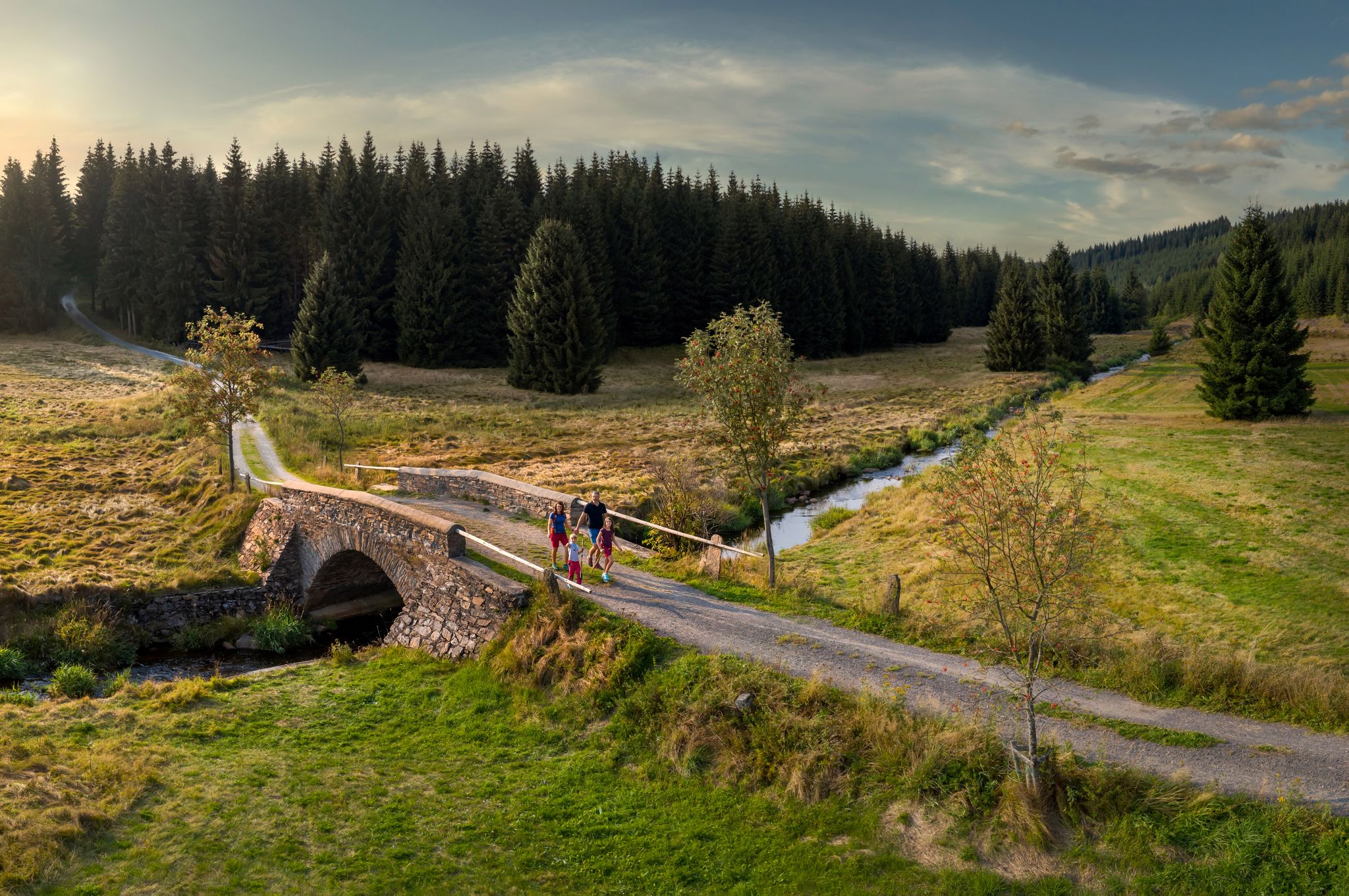
‘Good luck’ in the hiking paradise of the Ore Mountains
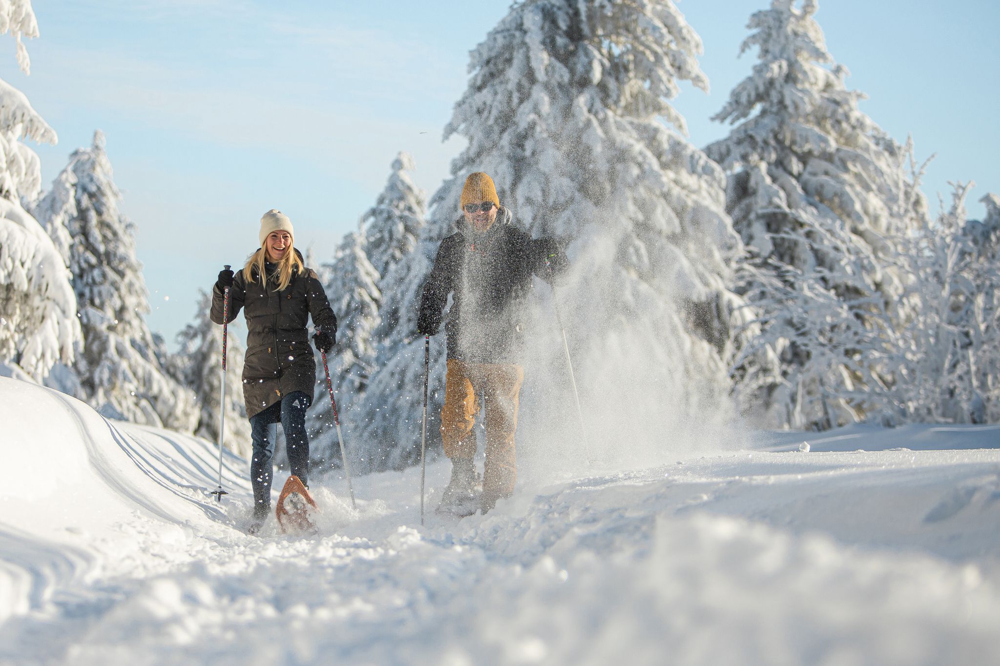
Glittering slopes and forests - winter hiking in the Ore Mountains
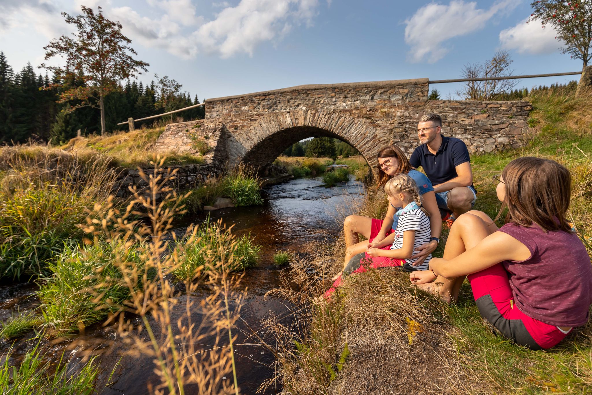
Wandertouren - Für kleine Wanderfreunde
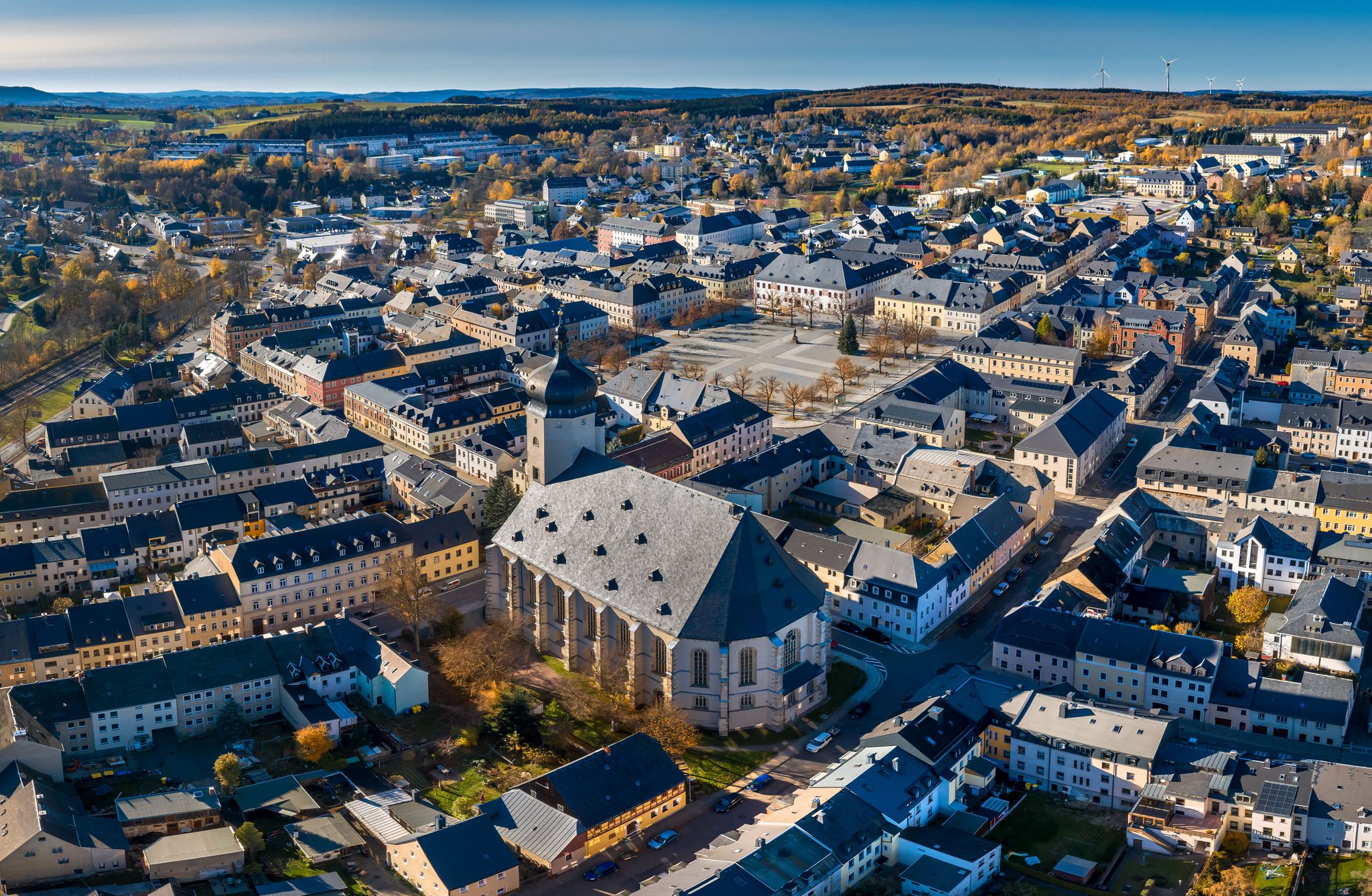
Wandertouren - "Glück Auf" im Welterbe
Hiking around Ehrenfriedersdorf
MTB Trails around Ehrenfriedersdorf
Cycling around Ehrenfriedersdorf
Road Cycling Routes around Ehrenfriedersdorf
Running Trails around Ehrenfriedersdorf
Other adventures around Ehrenfriedersdorf

Tips from the Community

Very nice tour and lots of great views.
0
0

At Schatzenstein you will find Nagel's Column, Station 127 of the Saxon State Survey of 1864, and the memorial plaque for Max Schreyer, the composer of the "Vuglbärbaam" song. A large rest area with a shelter offers space for a relaxing break.
3
0


How did the name "Tabakstanne" come about? Visit the place and find out!
0
0

The Royal Saxon Triangulation (here with its historical proper name) is a state survey carried out in the years 1862 to 1890 on the territory of the Kingdom of Saxony, with the simultaneous creation of a trigonometric network. The aim was to capture the state territory with scientific-geodetic accuracy and to create the basis for the production of accurate map works by establishing permanently marked fixed points. The triangulation network created by August Nagel was considered one of the most accurate survey networks in the world at its time. The Nagel's columns are preserved today as technical monuments. From Schatzenstein, the stations Greifenstein, Scheibenberg, Fichtelberg, Hirschensprung, Auersberg, Hirschenstein, and Katzenstein were sighted. Unfortunately, this panoramic view is no longer available.
2
0

At 561.9 m, the Tabakstanne is the highest point in Thalheim and also the highest point on the B 180 between Thalheim and Stollberg. The name Tabakstanne originally comes from a fir tree that grew there, but it was destroyed by lightning in 1911. There was supposedly always a lighter in a hollow in the tree, so the point where the iron road crosses today's B 180 became a resting place for carters. At the Tabakstanne there is now an education and leisure center of the same name, which was previously used as a restaurant for excursions. (https://de.m.wikipedia.org/wiki/Tabakstanne ), (https://www.gruppenhaus.de/bildungs-und-freizeitzentrum-tabakstanne-thalheim-hs7015.html )
2
0

The name comes from a fir tree that was destroyed by lightning in 1911. There was supposedly always a lighter in a hollow in the tree, so the spot became a resting place for carters.
0
0
Frequently Asked Questions
What are the most prominent natural features or mountain peaks to visit near Ehrenfriedersdorf?
The most prominent natural feature near Ehrenfriedersdorf is the Greifensteine, a series of impressive granite rock towers reaching 731 meters. These formations are a natural monument offering expansive panoramic views across the Ore Mountains. You can access the top via a staircase for spectacular vistas.
Are there any observation towers offering panoramic views of the Ore Mountains?
Yes, several observation towers provide excellent views. The Pöhlberg Observation Tower and Berghotel Röthberg stands at 831 meters with a 35-meter-high lookout tower. Another great option is the Dreibrüderhöhe Observation Tower, offering views from its approximately 25-meter-high platform. The Schreckenberg Tower also provides an attractive vantage point.
What kind of recreational activities can I find around the Greifensteine?
The area around the Greifensteine is popular for various activities. You can enjoy hiking on trails like the 'Waldgeisterweg' (Forest Spirit Trail) through the Greifenstein Forest. For more adventure, there's also a climbing forest (Kletterwald Greifensteine) nearby. During summer, the Greifensteine host an outdoor natural theater.
Are there family-friendly mountain peaks or attractions near Ehrenfriedersdorf?
Yes, the Dreibrüderhöhe Observation Tower is considered family-friendly, and the area around the Greifensteine with its hiking trails and climbing forest offers activities for families. The Tabakstanne summit is also noted as family-friendly.
What historical significance do the mountain peaks and surrounding areas have?
The region has a rich mining history, particularly tin mining in Ehrenfriedersdorf dating back to the early 13th century. The landscape around the Greifensteine bears witness to this past, and the nearby Greifenbachstauweiher was historically used for tin washing. The Schreckenberg Tower is built on a site with historical significance related to silver mining and features 19th-century castle ruins.
Can I find hiking trails near the mountain peaks around Ehrenfriedersdorf?
Absolutely. There are numerous hiking opportunities. For example, you can explore routes like the 'Ehrenfriedersdorf-Waldgeisterweg-Greifensteine' for a light hike. For more options, check out the Running Trails around Ehrenfriedersdorf guide, which includes routes like the 'Greifenbachstauweiher – Geyrischer Teich loop'.
What are some popular cycling or mountain biking routes in the area?
The region offers diverse cycling and mountain biking trails. For mountain biking, consider routes from the MTB Trails around Ehrenfriedersdorf guide, such as the 'Jahnsbach mill pond – Röhrgraben loop'. If you prefer touring cycling, the Cycling around Ehrenfriedersdorf guide features routes like the 'Greifenbachstauweiher – Honey Bear wooden sculpture loop'.
Are there any summits that are more about historical significance than views?
The Tabakstanne, at 561.9 meters, is the highest point in Thalheim and has historical roots related to a fir tree and a resting place for carters. While it offers a nice place for a hike, its primary interest lies in its historical context rather than expansive views.
Is there a summit near Ehrenfriedersdorf that is known for its geological features?
The Greifensteine are particularly known for their unique geological features, being a series of impressive granite rock towers. They are recognized as a natural monument due to their distinctive formations.
What amenities are available near the main mountain attractions?
Near the Greifensteine, you'll find amenities such as a small restaurant and a tourist information center. Several highlights like the Pöhlberg Observation Tower and Berghotel Röthberg and the Dreibrüderhöhe Observation Tower also feature mountain hotels and restaurants, providing convenient stopping points for visitors.
Where can I find a triangulation pillar with historical significance?
The Schatzenstein Triangulation Pillar marks the summit of the 760-meter-high Schatzenstein. It is the site of the Royal Saxon Triangulation of 1864, offering a glimpse into historical surveying practices. While the summit itself is forested, a nearby rock provides a good view in one direction.
Most popular routes around Ehrenfriedersdorf
Most popular attractions around Ehrenfriedersdorf

Get inspired with the komoot mobile app


Explore more
See even more amazing summits around Ehrenfriedersdorf with these guides:
