The best walks and hikes around Llanfoist Fawr
4.6
(1940)
14,785
hikers
56
hikes
Hiking trails around Llanfoist Fawr are situated in the southeastern Brecon Beacons National Park, offering access to diverse landscapes. The area features rolling hills, prominent peaks like The Blorenge and Sugar Loaf, and the Usk Valley. Historic waterways such as the Monmouthshire and Brecon Canal also provide accessible paths. This region is characterized by a mix of mountain terrain and gentle canal-side routes.
Best hiking trails in Llanfoist Fawr
- The most popular hiking route is The Blorenge circular from Keeper's…
Last updated: October 10, 2026
4.7
(118)
640
hikers
11.0km
03:12
300m
300m
Embark on The Blorenge circular from Keeper's Pond for a moderate hike offering diverse terrain and sweeping vistas. This 6.8-mile (11.0 km) route, with an elevation gain of 984 feet…
4.7
(23)
100
hikers
6.14km
02:07
320m
320m
Embark on The Punchbowl loop from Llanfoist Wharf, a moderate hike that guides you through tranquil beechwoods and along green lanes. You'll follow level canal paths beside the Monmouthshire and…

4.8
(69)
539
hikers
Easy hike. Great for any fitness level. Easily-accessible paths. Suitable for all skill levels.
4.5
(22)
166
hikers
Easy hike. Great for any fitness level. Easily-accessible paths. Suitable for all skill levels.
4.5
(15)
138
hikers
6.81km
01:52
100m
110m
Easy hike. Great for any fitness level. Easily-accessible paths. Suitable for all skill levels.
Get access to more routes and recommendations from other explorers.
Already have an account?
Our route recommendations are based on thousands of hikes, rides, and runs completed by other people on komoot.
Start today with a free account
Your next adventure awaits.
Popular around Llanfoist Fawr

Walk Britain – 90 car-free adventures in England, Wales and Scotland
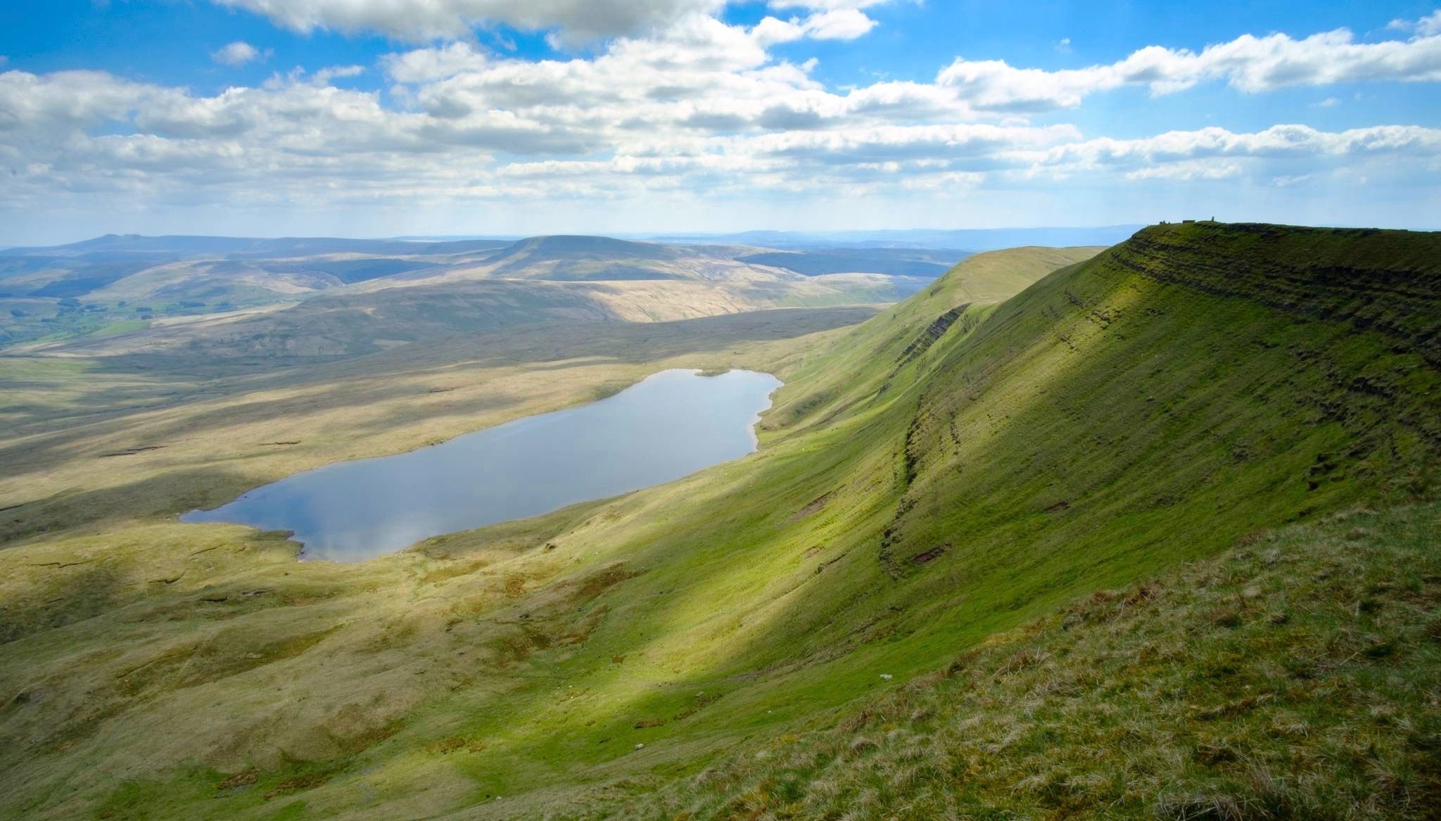
Breathtaking hikes in the Brecon Beacons National Park
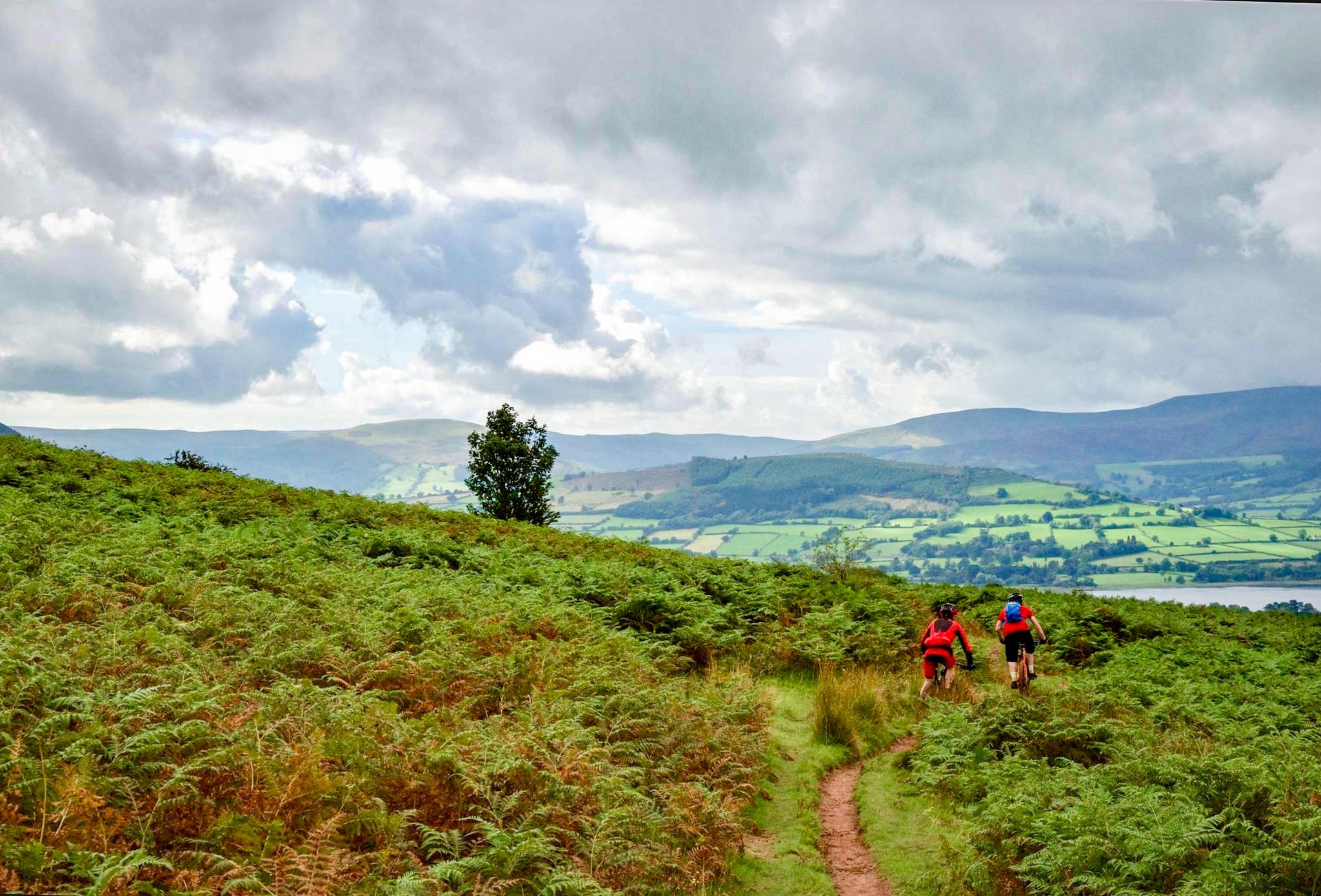
Mountain biking in the Brecons Beacons and Black Mountains
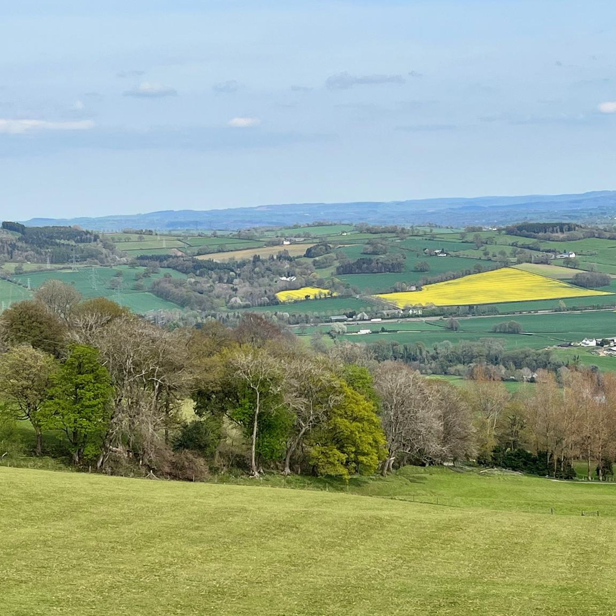
Cycling around Llanfoist Fawr
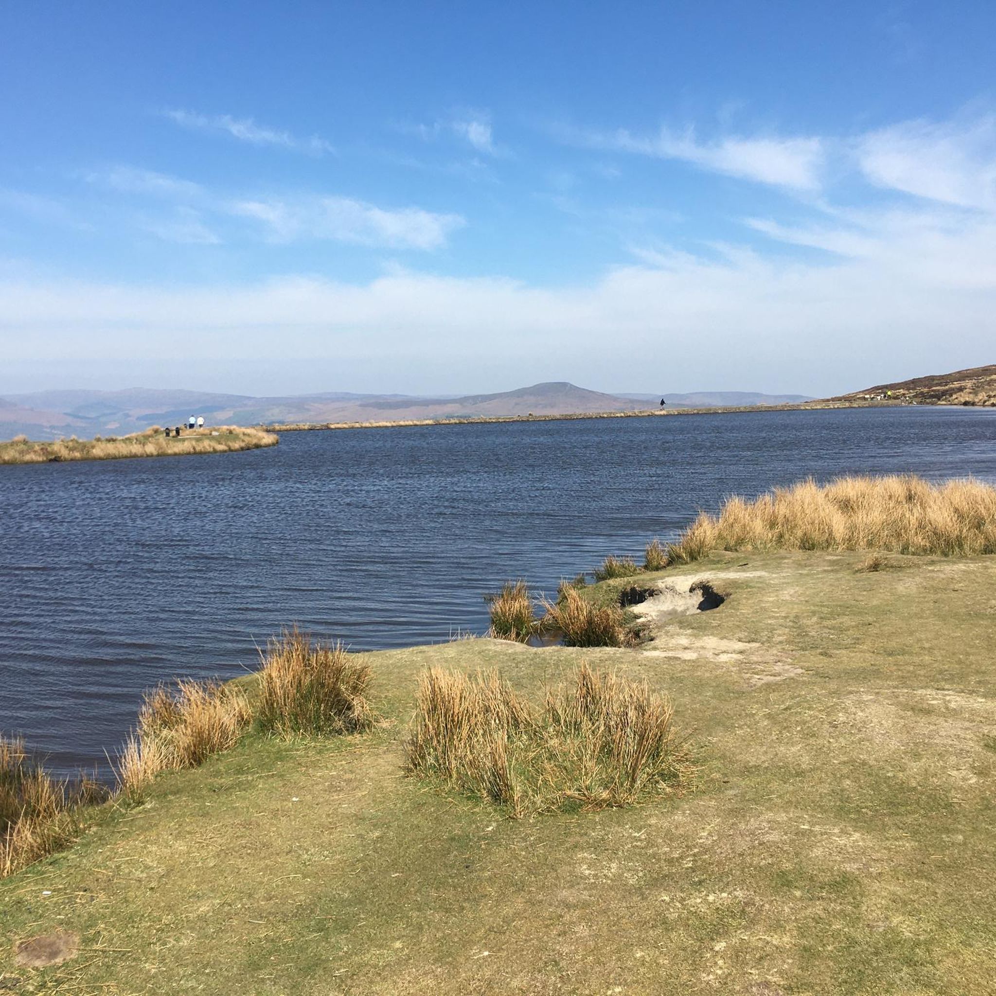
Road Cycling Routes around Llanfoist Fawr
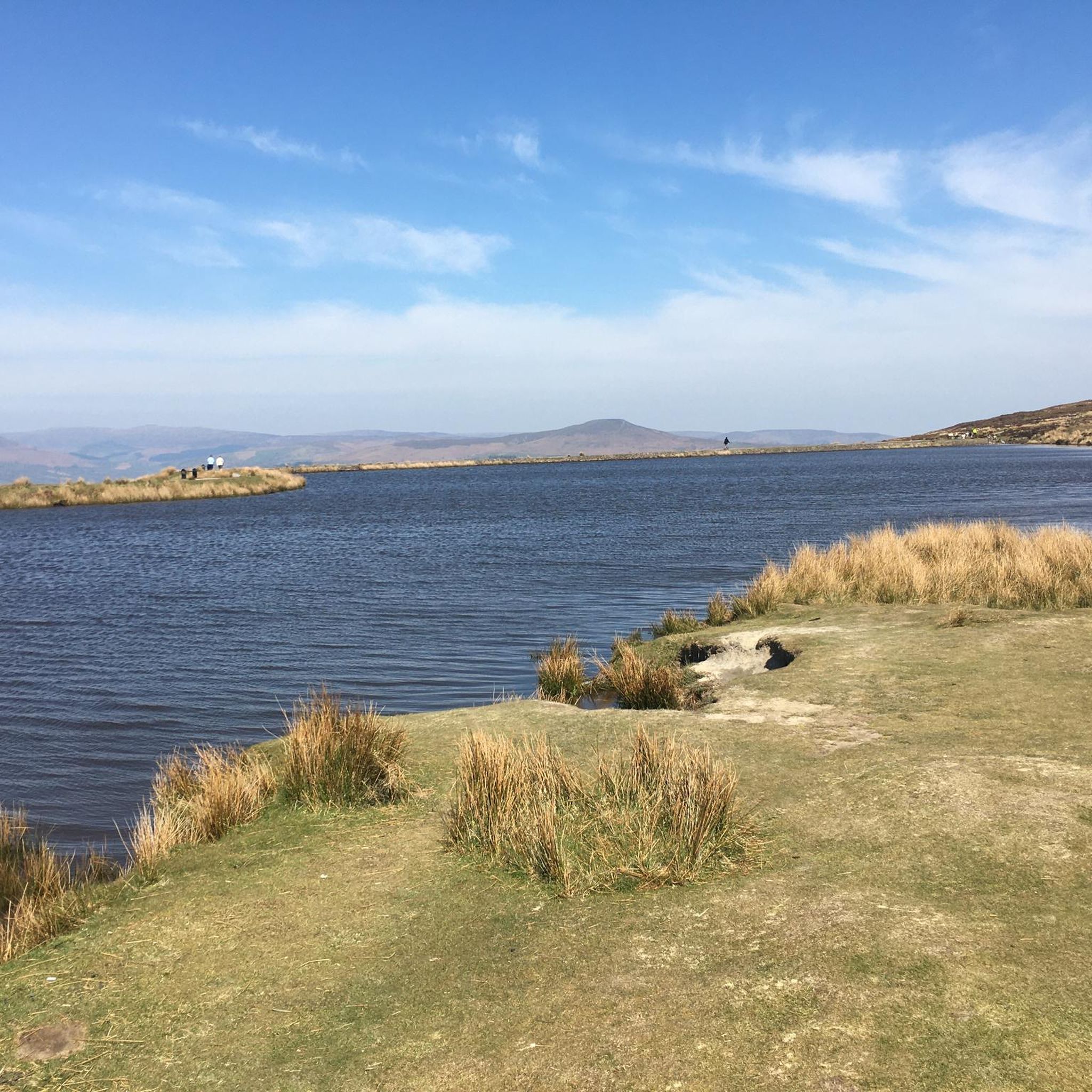
MTB Trails around Llanfoist Fawr
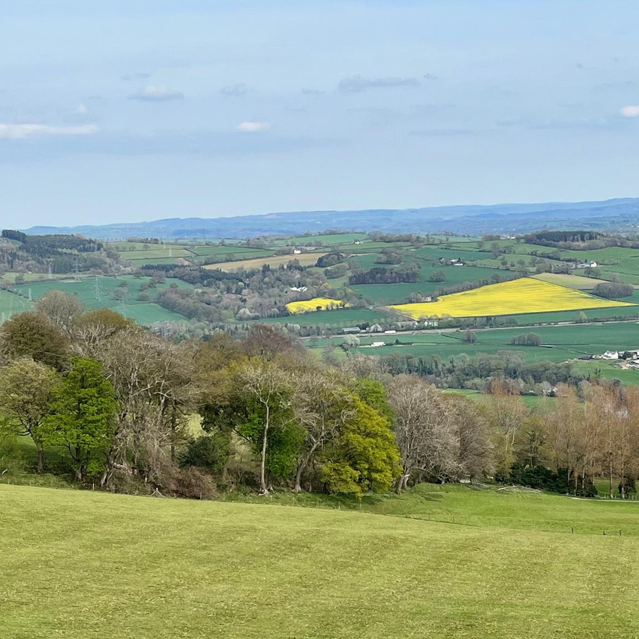
Running Trails around Llanfoist Fawr
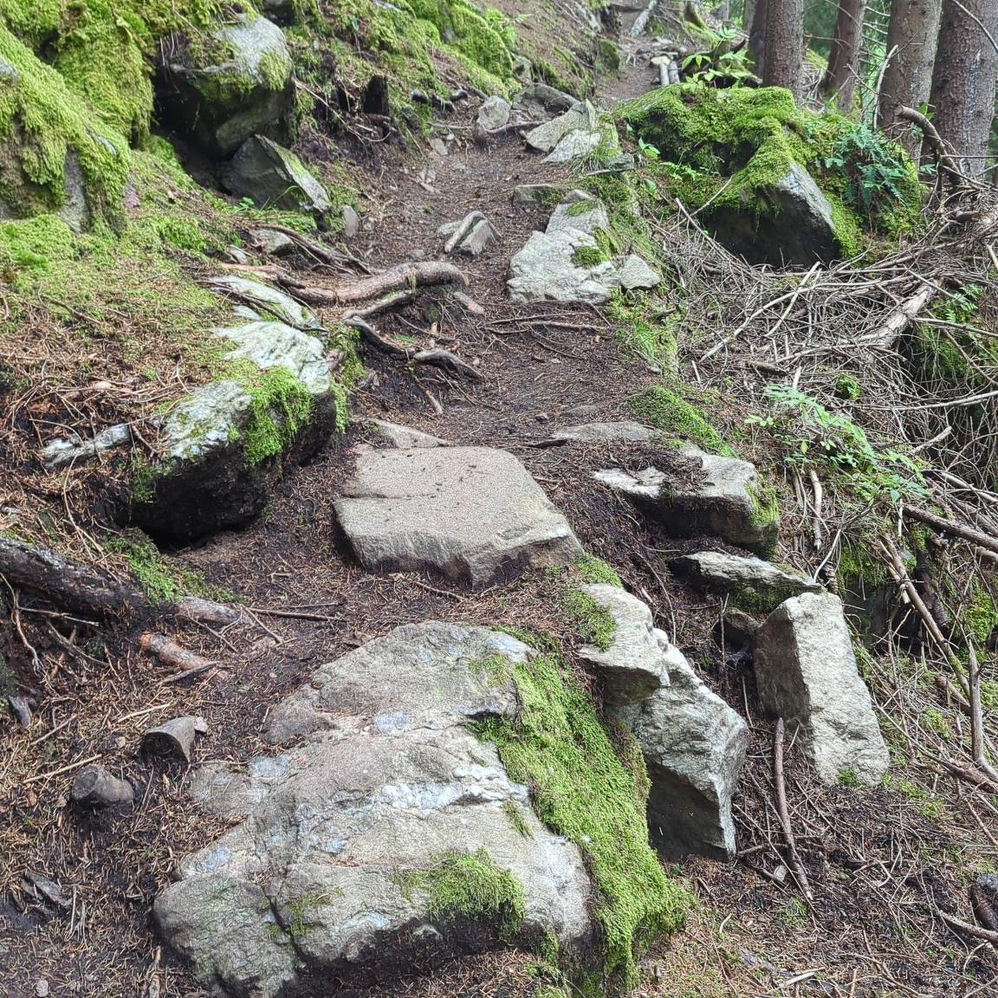
Gravel biking around Llanfoist Fawr
Other adventures around Llanfoist Fawr


Tips from the Community

Nice scenic place to start a ride from. car park, and good routes from here
0
0

Bench for tired hikers
0
0
Bench for the exhausted hiker
0
0


Easy walk, bit rocky at the top, very enjoyable walk
0
0

Keeper’s Pond is an amazing pond, outstanding beauty with great views of the Usk valley 🤩
0
2

Both cold and high and also cold. Nobody around and peaceful too
0
0
Frequently Asked Questions
How many hiking trails are available in Llanfoist Fawr?
Llanfoist Fawr offers a wide variety of hiking experiences, with over 50 trails to explore. These range from easy strolls along the canal to more challenging ascents up the local peaks.
What are the difficulty levels of hikes in Llanfoist Fawr?
The trails around Llanfoist Fawr cater to all abilities. You'll find a good mix of easy routes, often along the Monmouthshire and Brecon Canal, as well as moderate paths that climb into the hills. There are also a few more difficult routes for experienced hikers seeking a challenge.
Are there any family-friendly hiking routes in Llanfoist Fawr?
Yes, Llanfoist Fawr has several options suitable for families. The gentle, flat paths along the Monmouthshire and Brecon Canal are particularly good for all ages. These routes offer easy walking with scenic views and opportunities for wildlife spotting.
Can I bring my dog on the hiking trails in Llanfoist Fawr?
Many trails in Llanfoist Fawr are dog-friendly, especially those along the Monmouthshire and Brecon Canal and through woodland areas. When hiking in the Brecon Beacons National Park, it's important to keep dogs under close control, especially near livestock, and to follow the Countryside Code.
What natural features and landmarks can I see while hiking?
Llanfoist Fawr is rich in natural beauty and historical landmarks. You can enjoy panoramic views from peaks like Blorenge summit, Skirrid Fawr summit, and Sugar Loaf Summit. The area also features the tranquil Keeper's Pond, the scenic Usk Valley, and the historic Monmouthshire and Brecon Canal. You might also encounter historic tramways, particularly on routes like The Punchbowl loop.
Are there any circular walks available?
Yes, Llanfoist Fawr offers several excellent circular walks. A popular choice is The Blorenge circular from Keeper's Pond, which provides stunning views. Another great option is The Punchbowl loop from Llanfoist Wharf, which explores a unique glacial cwm.
What is the terrain like on the trails?
The terrain varies significantly. Canal paths, such as those near Llanfoist Wharf, are generally flat and well-maintained. Mountain trails, like those ascending The Blorenge, involve steeper climbs and can be rocky or muddy, especially after rain. Paths around Keeper's Pond are often a mix of gravel and natural surfaces.
What do other hikers enjoy most about hiking in Llanfoist Fawr?
The area is highly rated by the komoot community, with an average score of 4.7 stars from over 360 reviews. Hikers frequently praise the diverse landscapes, from the rolling hills and dramatic peaks to the tranquil canal-side paths. The panoramic views over the Usk Valley and towards the Black Mountains are also a common highlight.
Are there any castles or historical sites nearby to visit?
Absolutely. The region around Llanfoist Fawr is rich in history. You can visit Crickhowell Castle ruins, explore Abergavenny Castle and Museum, or discover the unique Clytha Castle. Further afield, White Castle offers another glimpse into the area's past.
What is the best time of year to hike in Llanfoist Fawr?
Llanfoist Fawr offers enjoyable hiking year-round. Spring brings wildflowers and lush greenery, while autumn showcases spectacular fall colours across the Usk Valley and hills. Summer provides longer daylight hours for extended hikes. Even in winter, crisp, clear days can offer stunning views, though higher routes may require appropriate gear for colder conditions.
Is public transport available to reach the hiking trails?
While specific bus routes and frequencies vary, Llanfoist Fawr is accessible by public transport, particularly to nearby Abergavenny. From there, local services or a short walk can connect you to various trailheads, including those along the Monmouthshire and Brecon Canal. Checking local bus schedules is recommended for planning your journey.
Are there any permits required for hiking in the Brecon Beacons National Park?
Generally, no specific permits are required for hiking on public footpaths and bridleways within the Brecon Beacons National Park. However, always respect private land, stick to marked paths, and follow the Countryside Code. For more information on visiting the park responsibly, you can consult resources like Visit Wales.
Most popular routes around Llanfoist Fawr
Most popular attractions around Llanfoist Fawr

Get inspired with the komoot mobile app


Explore more
Browse the best Hikes in other regions.
