The best running trails around Puncheston
4.7
(10)
1,147
runners
90
runs
Jogging routes around Puncheston offer a diverse range of terrain, from the challenging trails of the Preseli Hills to tranquil paths around Llys-y-frân Reservoir. The region's landscape is characterized by rolling hills, varied surfaces, and proximity to the Pembrokeshire Coast National Park. Runners can explore routes with significant elevation changes and rewarding vistas, as well as gentler paths through local countryside. This area provides a blend of natural features suitable for various running preferences.
Best jogging routes around Puncheston
- The…
Last updated: August 28, 2026
5.0
(2)
186
runners
10.1km
01:14
130m
130m
Moderate run. Good fitness required. Mostly paved surfaces. Suitable for all skill levels.
5.0
(1)
64
runners
17.6km
02:14
520m
520m
Hard run. Very good fitness required. Mostly paved surfaces. Suitable for all skill levels.

Sign up for free
40
runners
38.5km
05:00
1,230m
1,230m
Hard run. Very good fitness required. Mostly paved surfaces. Suitable for all skill levels.
26
runners
10.6km
01:08
170m
170m
Moderate run. Good fitness required. Mostly paved surfaces. Suitable for all skill levels.
6
runners
17.3km
01:56
370m
360m
Hard run. Very good fitness required. Mostly paved surfaces. Suitable for all skill levels.
Get access to more routes and recommendations from other explorers.
Sign up for free
Already have an account?
Our route recommendations are based on thousands of hikes, rides, and runs completed by other people on komoot.
Start today with a free account
Your next adventure awaits.
Login or Signup
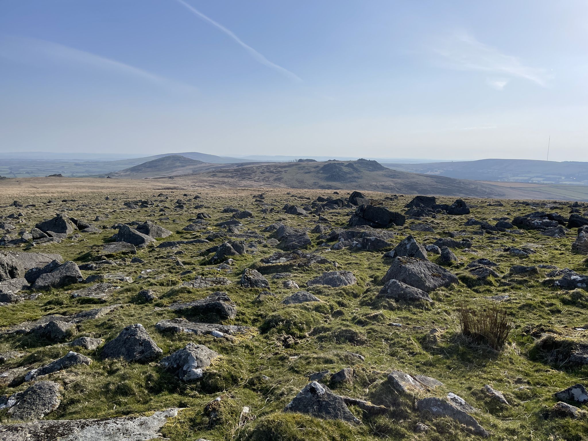
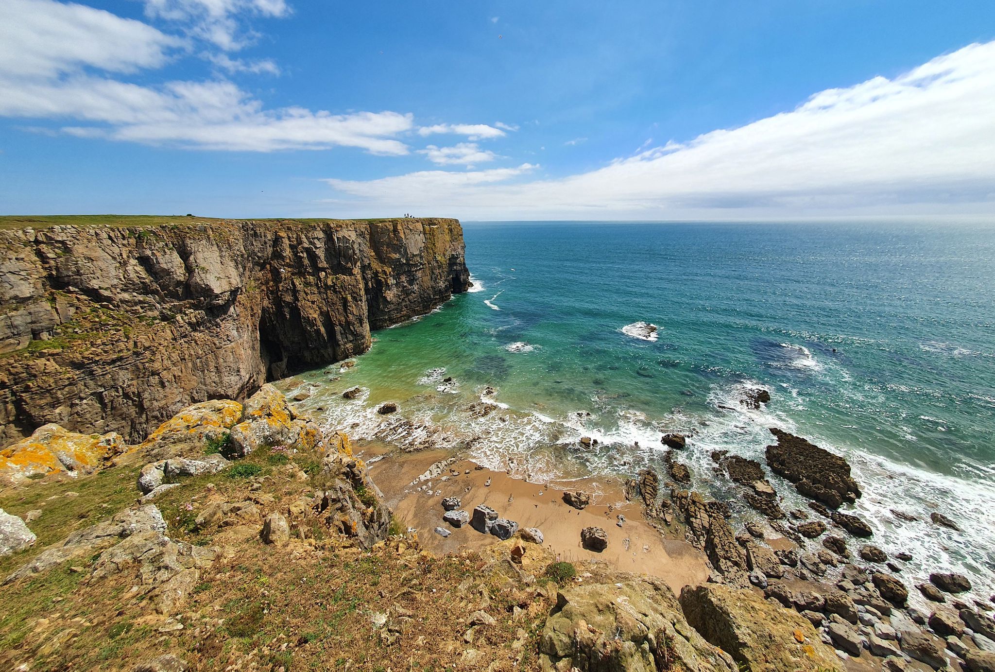
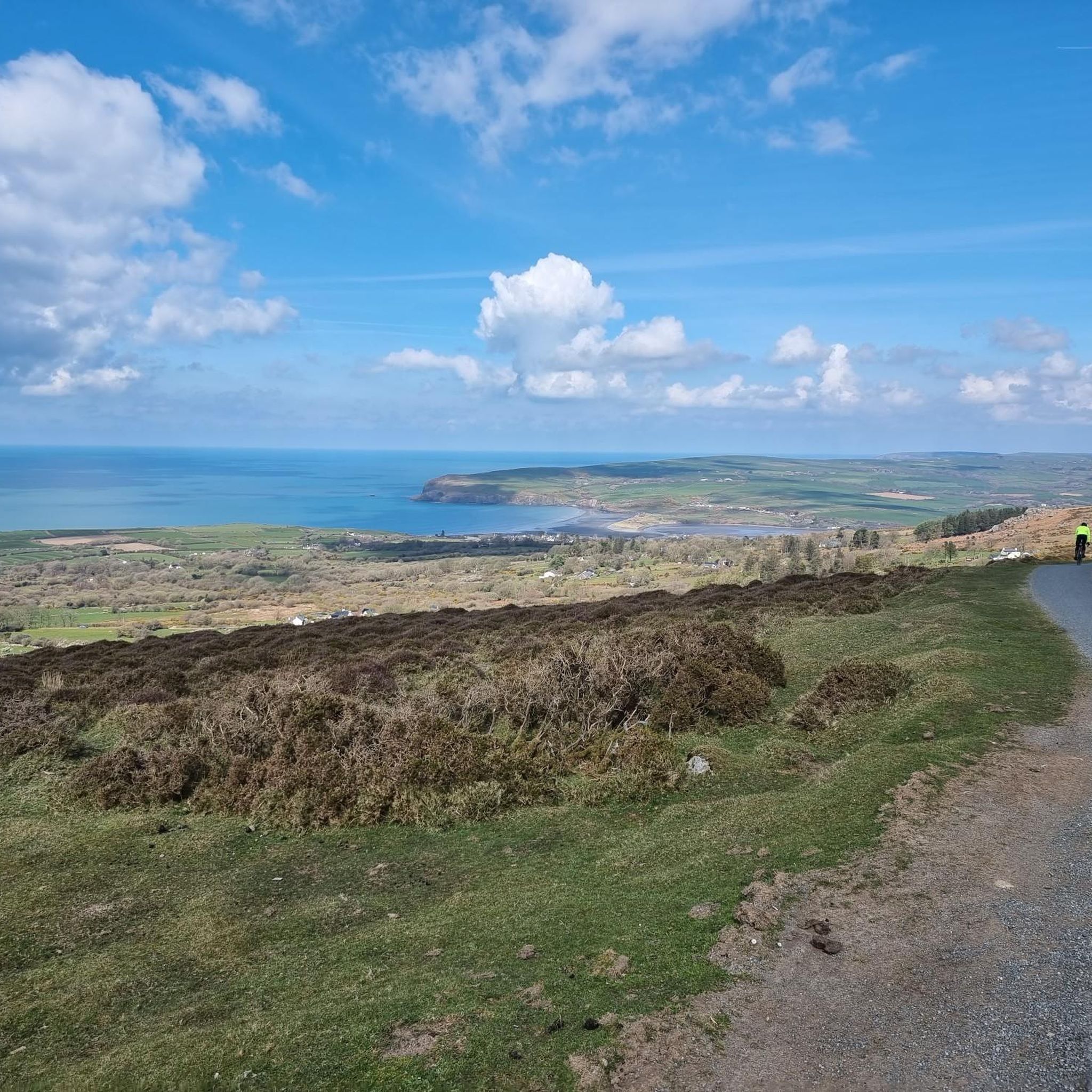
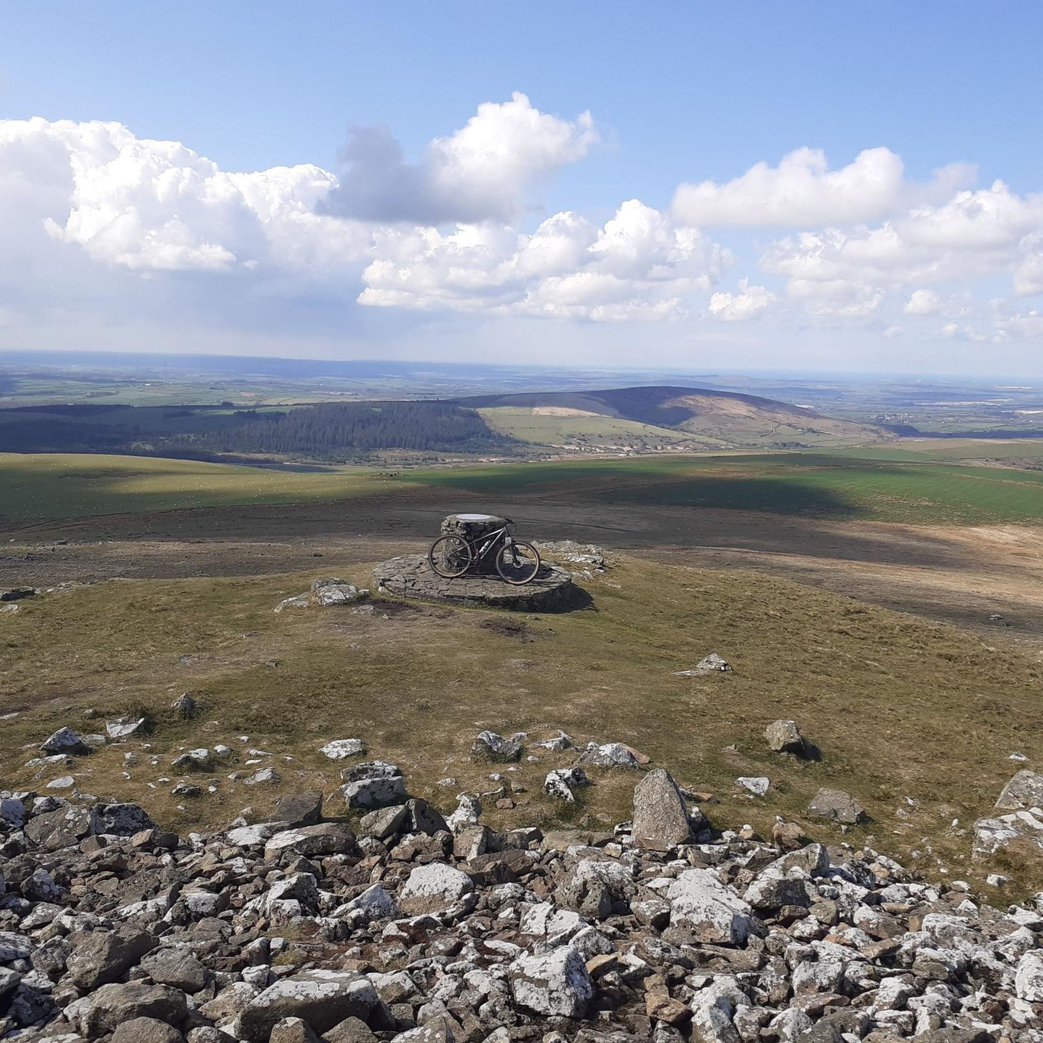

Tips from the Community


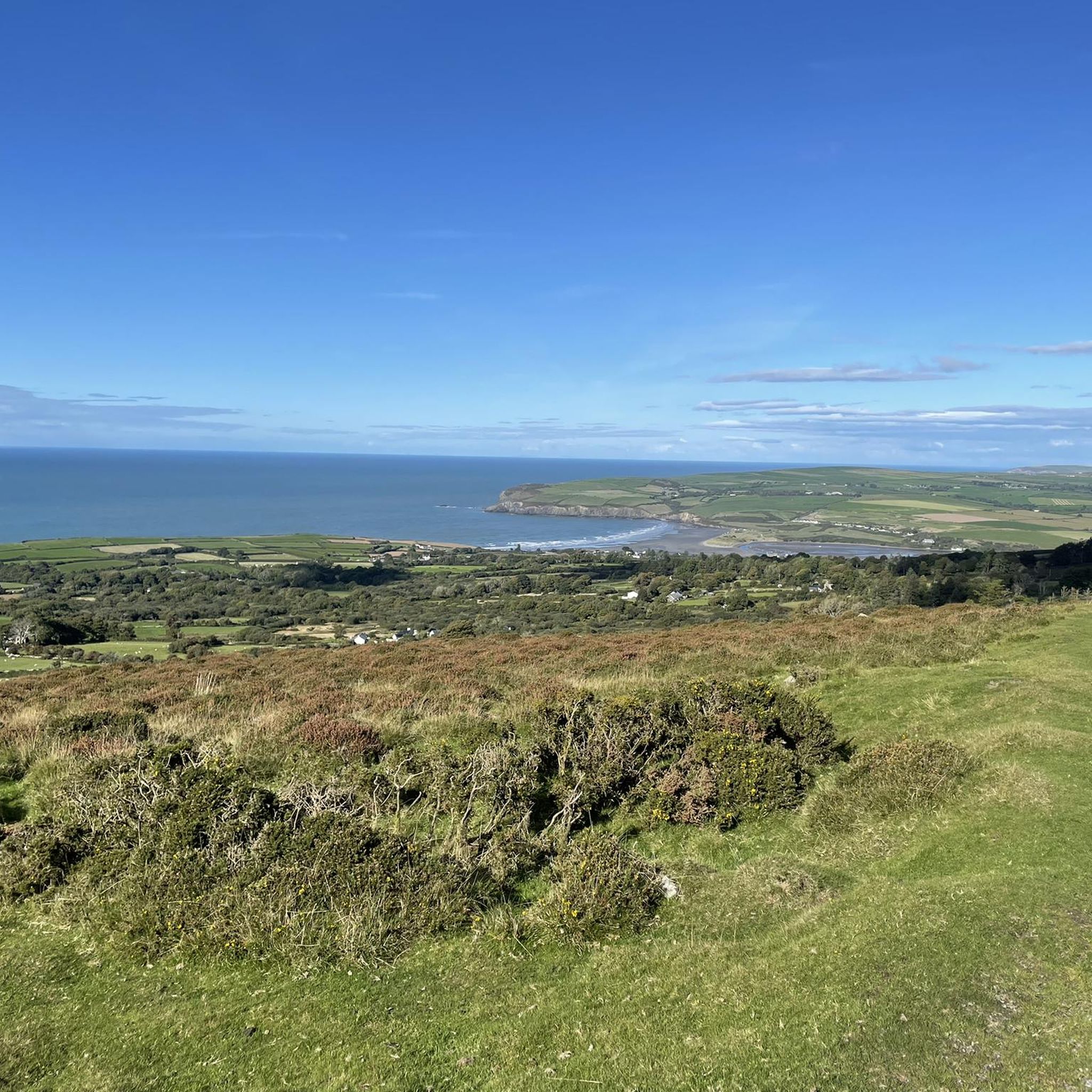
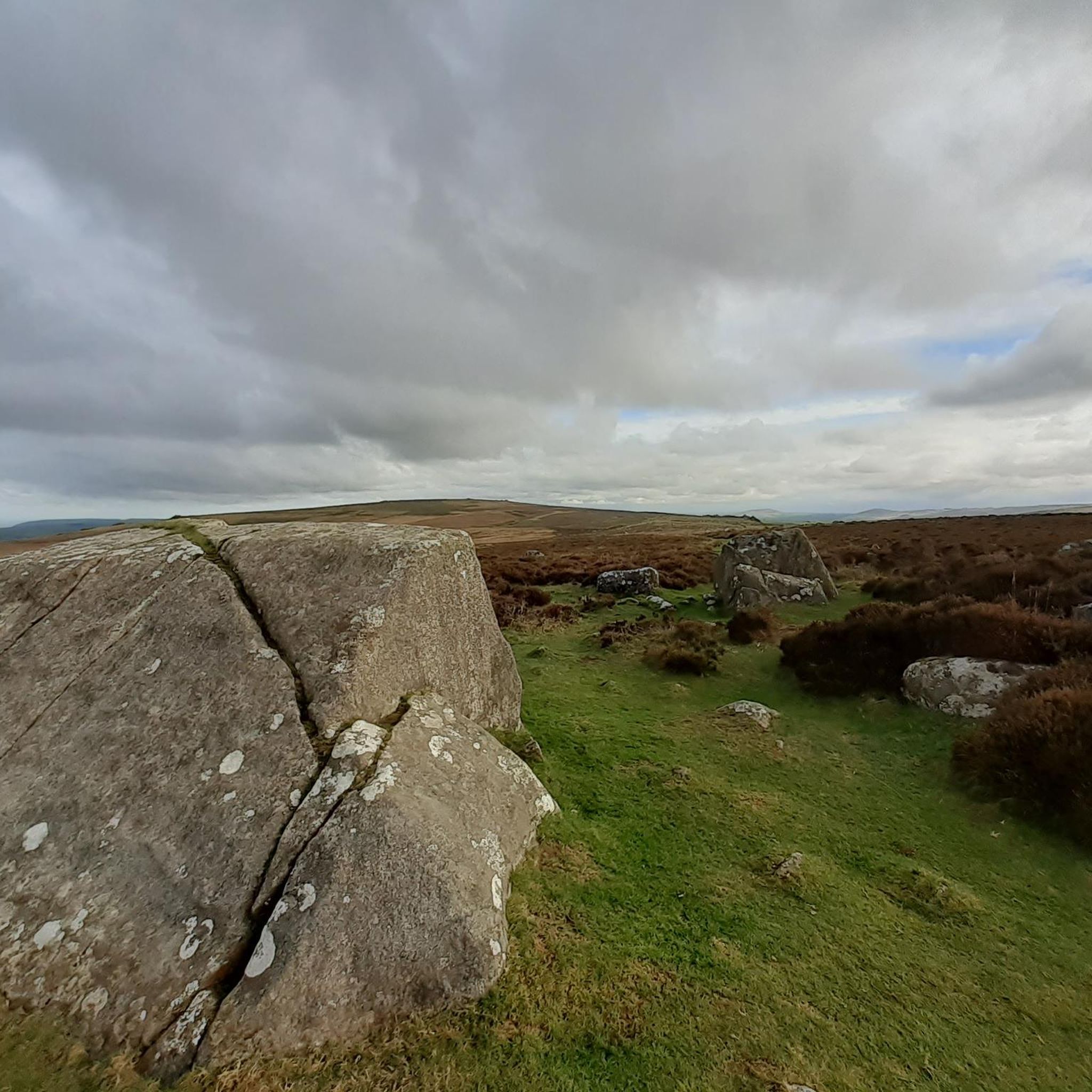
A few hills that take the BPMs up but the rewards are fantastic vistas
0
0

Views all round, to the sea, Cardigan Bay, north and Milford Haven in south.
0
0

A great place to sample the superbly refreshing local beers😎😎
0
0

Mynydd Carningli, or Carningli for short (or "Carn Ingli"), is almost 350 meters high and around 450 million years old. It is a long-extinct volcano that has been eroded by sea, rainwater, and wind. Today, only the core of Carningli remains. It was first documented as "Mons Angelorum" (Mountain of the Angels) in the 12th century. Saint Brynach is said to have lived nearby in a small community of monks around 450 AD and often climbed the mountain to speak with the angels. Those who climb the mountain today, enjoying the peace and the surrounding views, can easily imagine that the saint—like other people—sought proximity to the angels there.
0
0

A lovely little tucked away quarry which is great to have a dip mid run. The water is freezing though so bare that in mind! Great area for running and exploring the Presellis
0
0

A lovely brewery that's worth adding on a few miles for. Check their website for taproom opening hours as they will change throughout the year
0
0
Frequently Asked Questions
How many running routes are available around Puncheston?
There are over 90 running routes available in the Puncheston area, catering to various preferences and fitness levels. These include a mix of easy, moderate, and difficult trails.
What are the typical difficulty levels for running trails in Puncheston?
The running trails around Puncheston offer a good range of difficulty. You'll find 6 easy routes for a gentle jog, 60 moderate routes for a good workout, and 27 difficult routes for those seeking a challenge, particularly in the Preseli Hills.
What kind of landscapes can I expect while running near Puncheston?
Runners in Puncheston can experience diverse landscapes, from the dramatic, elevated terrain of the Preseli Hills to tranquil paths around the Llys-y-frân Reservoir. The region also offers easy access to the stunning Pembrokeshire Coast National Park, providing opportunities for coastal runs with breathtaking sea views.
Are there any circular running routes in the area?
Yes, many routes around Puncheston are circular. A popular option is the Llys-y-frân Reservoir loop, which is 6.3 miles (10.1 km) long. Another challenging circular trail is the Rosebush Quarry – Foel Feddau summit loop from Maenclochog.
What do other runners enjoy most about the trails in Puncheston?
The running trails in Puncheston are highly rated by the komoot community, with an average score of 4.7 stars from more than 5 reviews. Runners often praise the varied terrain, from challenging mountain paths to scenic reservoir loops, and the rewarding panoramic views from elevated points like the Preseli Hills.
Are there running routes that offer panoramic views?
Absolutely. The Preseli Hills, which Puncheston sits below, are known for their magnificent panoramic views. Routes like the Rosebush Quarry – Foel Feddau summit loop offer vistas from Foel Feddau summit. You can also find stunning views from Carningli Mountain and Foel Drygarn Hillfort.
Can I find running routes suitable for families or beginners?
Yes, Puncheston offers 6 easy routes that are generally suitable for families or those new to running. These routes tend to be less strenuous and often follow gentler paths through the local countryside, such as the old railway line near the village.
Are there any notable landmarks or attractions to see along the running routes?
While running, you can encounter several interesting landmarks and natural features. The Preseli Hills feature historical sites like Foel Drygarn Hillfort. The nearby coast offers dramatic scenery at Dinas Head and the beautiful Pwllgwaelod Beach. The Llys-y-frân Reservoir also provides scenic natural surroundings.
Are there running trails that are less crowded?
While popular routes like the Llys-y-frân Reservoir loop can see more activity, the vast network of trails, especially those deeper into the Preseli Hills or through local green spaces like Llanerch Alder Carr, often provide a more secluded running experience. Exploring some of the 60 moderate or 27 difficult routes can lead to quieter paths.
What are the options for longer distance running or trail running challenges?
For longer distances and significant challenges, the Preseli Hills are ideal. The Carningli Mountain – Foel Cwmcerwyn summit loop from Maenclochog is a demanding 23.9 miles (38.5 km) trail with substantial elevation changes, perfect for experienced trail runners.
Are there running routes near water bodies or rivers?
Yes, the Llys-y-frân Reservoir loop offers beautiful running alongside the water. Additionally, Puncheston village itself is situated on the River Cleddau, and local paths may follow its course, providing tranquil riverside jogging opportunities.
What is the best time of year to go running in Puncheston?
Puncheston offers good running conditions throughout much of the year. Spring and autumn provide pleasant temperatures and vibrant scenery, especially in the Preseli Hills. Summer is great for coastal runs, though trails can be busier. Even in winter, many routes are accessible, but be prepared for potentially wet or muddy conditions, especially on unpaved trails.
Most popular attractions around Puncheston

Get inspired with the komoot mobile app


Explore more
Browse the best Running Trails & Routes in other regions.
