The best walks and hikes around Pontyberem
4.7
(67)
857
hikers
31
hikes
Hiking around Pontyberem, a village in Carmarthenshire, Wales, offers access to varied landscapes. The region is characterized by the serene Gwendraeth Valley, woodlands, and proximity to the Carmarthenshire coastline. Hikers can explore reservoir paths, valley trails, and routes leading to natural attractions like the National Botanic Garden of Wales and Llyn Llech Owain Country Park. The terrain includes gentle gradients suitable for easy walks and more undulating sections in the wider area.
Best hiking trails around Pontyberem
- The most popular hiking route is Cwm Lliedi Lower Reservoir — Swiss Valley loop, a 3.2 miles (5.2 km) trail that takes 1 hour 25 minutes to complete. This easy route offers views of the reservoir and follows the scenic Swiss Valley.
- Another top favourite among local hikers is View of Carmarthen Bay – Llyn Llech Owain loop from Gorslas, an easy 2.8 miles (4.4 km) path. This trail provides views towards Carmarthen Bay and explores the Llyn Llech Owain Country Park.
- Local hikers also love the Cwm Lliedi (Lower) Reservoir loop from Llanelli Rural, a 1.7 miles (2.8 km) trail leading through tranquil reservoir surroundings, often completed in about 44 minutes.
- Hiking around Pontyberem is defined by valley paths, woodlands, and reservoir trails. The network offers options for different ability levels, from easy loops to moderate routes.
- The routes in Pontyberem are highly rated by the komoot community with an average score of 4.7 stars from over 40 reviews. More than 700 hikers have used komoot to explore Pontyberem's varied terrain.
Last updated: October 8, 2026
5.0
(2)
40
hikers
5.21km
01:25
70m
70m
Easy hike. Great for any fitness level. Easily-accessible paths. Suitable for all skill levels.
4.7
(7)
128
hikers
Easy hike. Great for any fitness level. Easily-accessible paths. Suitable for all skill levels.

4.8
(4)
99
hikers
2.76km
00:44
30m
20m
Easy hike. Great for any fitness level. Easily-accessible paths. Suitable for all skill levels.
5.0
(2)
52
hikers
Easy hike. Great for any fitness level. Easily-accessible paths. Suitable for all skill levels.
4.7
(3)
25
hikers
Moderate hike. Good fitness required. Easily-accessible paths. Suitable for all skill levels.
Get access to more routes and recommendations from other explorers.
Already have an account?
Our route recommendations are based on thousands of hikes, rides, and runs completed by other people on komoot.
Start today with a free account
Your next adventure awaits.


Tips from the Community

The Gruffalo Trail features lovingly carved likenesses of the animals that appear in the story. The information boards include quotes, information about the respective animal, small tasks - not just for children ;) - and pictures from the book.
0
0

Near Tumble the trail is closed due to a landslide, so be aware you cannot make it all the way through to crosshands.
0
0

Cycle Route 47 is closed between Tumble and Pontyberem due to a landslide
0
0

Small waterfall. Almost nonexistent during dry periods.
0
0

Great walks and a great dog friendly cafe
0
0

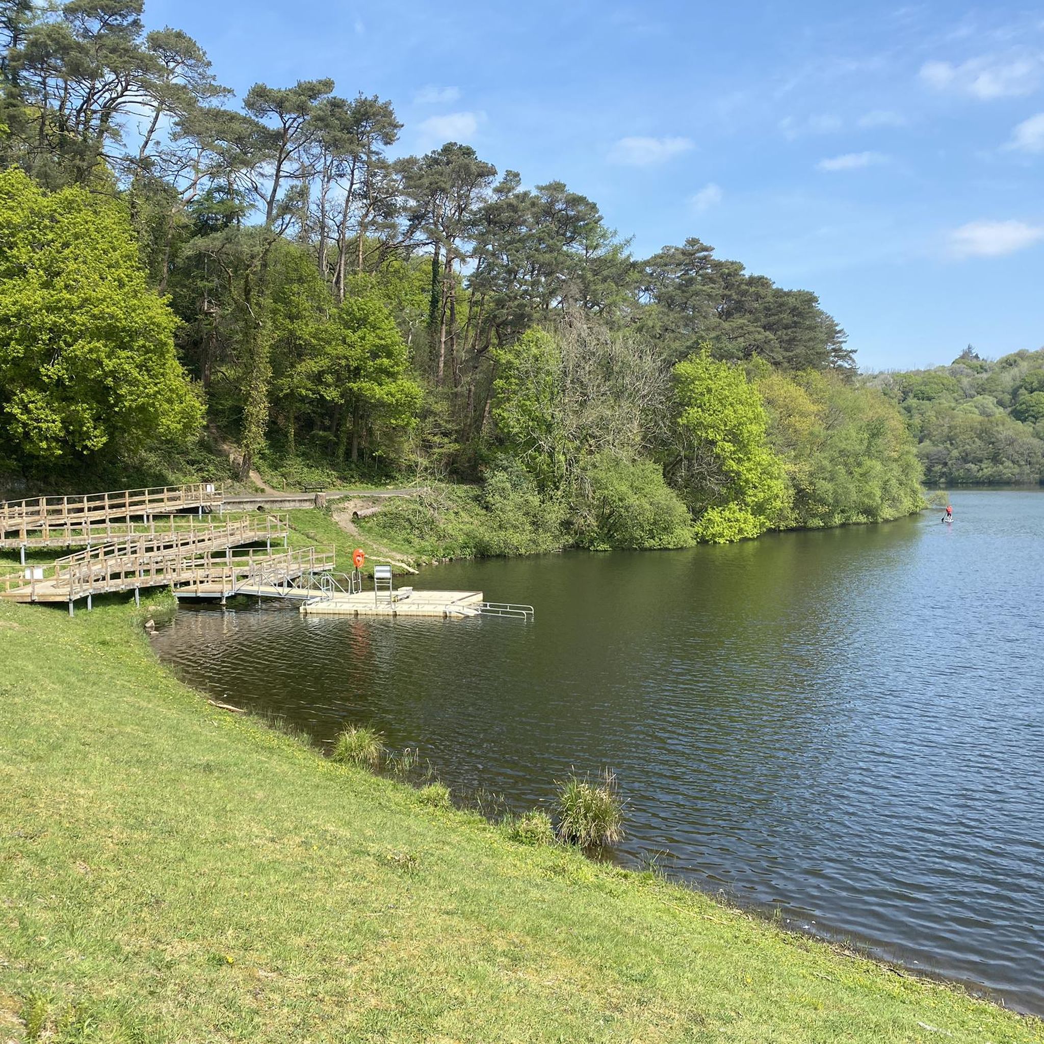
Enjoy the walk that winds along the edge of Cwm Lliedi (Lower) Reservoir and through the woodlands of Swiss Valley offering views over the water and the chance to spot a variety of wildlife.
2
0
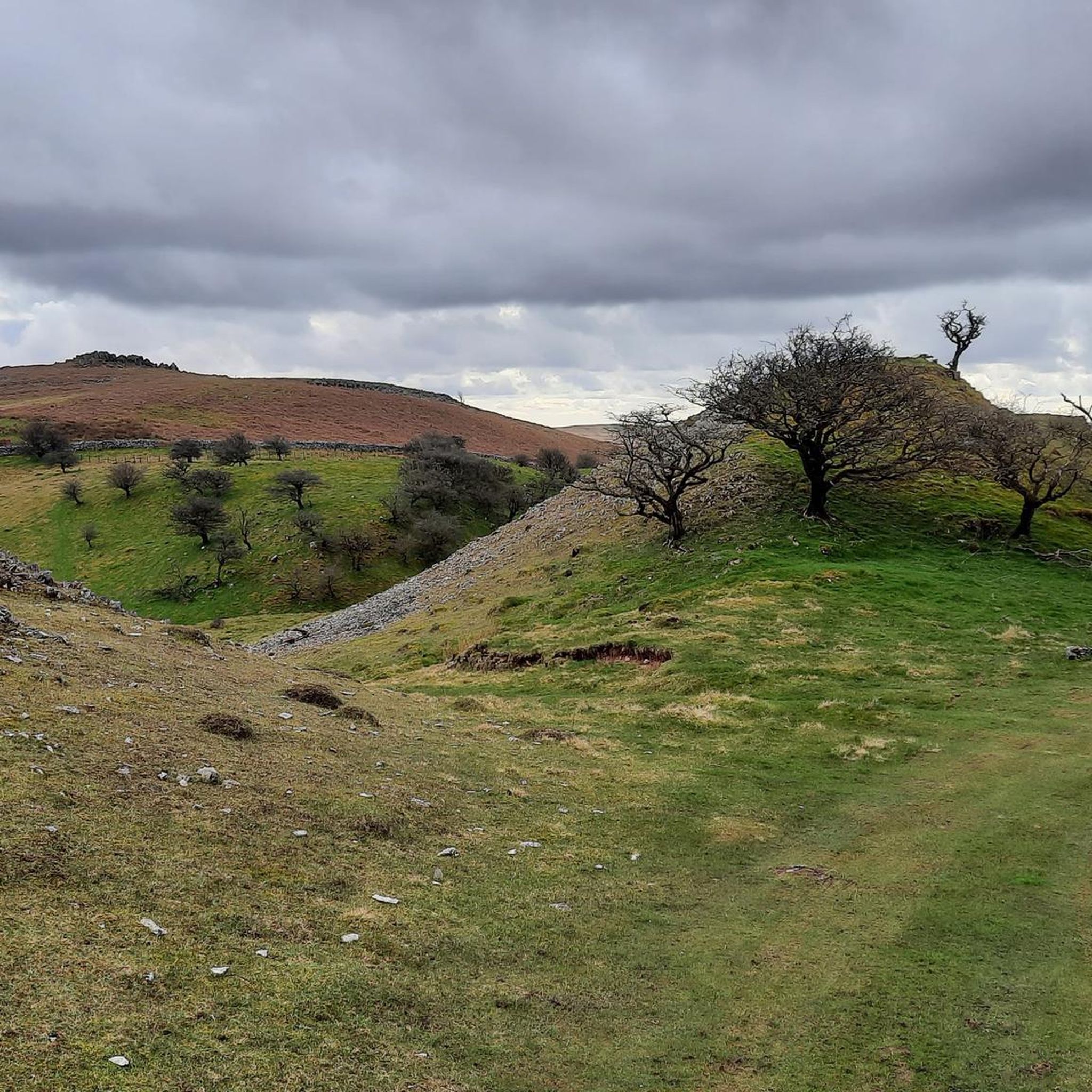
At the heart of the Country Park is a lake, surrounded by a peat bog. Elsewhere are areas of heathland and broadleaved woodland. Facilities include a visitor centre, cafe and Mountain Bike and Tarmac / good quality bike trails.
0
0
Frequently Asked Questions
How many hiking trails are available around Pontyberem?
There are over 30 hiking routes in the Pontyberem area, offering a variety of experiences from easy strolls to more moderate excursions. The region is known for its valley paths, woodlands, and reservoir trails.
Are there any easy, family-friendly walks near Pontyberem?
Yes, Pontyberem offers several easy routes suitable for families. For a gentle walk with scenic reservoir views, consider the Cwm Lliedi (Lower) Reservoir loop from Llanelli Rural, which is just 1.7 miles (2.8 km) long. Another great option is the View of Carmarthen Bay – Llyn Llech Owain loop from Gorslas, an easy 2.8-mile (4.4 km) path that explores Llyn Llech Owain Country Park.
Can I find circular hiking routes in the area?
Many of the trails around Pontyberem are circular, allowing you to start and end at the same point. A popular circular option is the Cwm Lliedi Lower Reservoir — Swiss Valley loop, which is 3.2 miles (5.2 km) and offers views of the reservoir and the scenic Swiss Valley.
Are there any hiking trails that feature waterfalls?
Yes, you can experience a waterfall on a hike near Pontyberem. The Waterfall loop from National Botanic Garden of Wales is an easy 6 km (3.7 miles) route that combines botanical interest with a natural feature. The National Botanic Garden of Wales itself is a unique natural setting worth exploring, and you can find more information about it here: National Botanic Garden of Wales.
What kind of views can I expect on hikes around Pontyberem?
Hikes around Pontyberem offer diverse views, from the tranquil waters of the Cwm Lliedi reservoirs and the lush Gwendraeth Valley to expansive vistas towards Carmarthen Bay. For panoramic views, consider routes that pass by Paxton's Tower, a Neo-Gothic folly offering commanding views over the Tywi Valley and the National Botanic Garden of Wales.
Are there any historical landmarks or attractions to see while hiking?
Absolutely. The region around Pontyberem is rich in history. You can incorporate a visit to Kidwelly Castle, a significant historic landmark, into your hiking plans. Additionally, Paxton's Tower provides both historical interest and stunning viewpoints.
What do other hikers say about the trails in Pontyberem?
The hiking routes in Pontyberem are highly regarded by the komoot community, holding an impressive average rating of 4.7 stars from over 40 reviews. Hikers often praise the well-maintained paths, the peaceful valley and reservoir settings, and the variety of options for different skill levels.
Are there any longer or more challenging routes for experienced hikers?
While many routes around Pontyberem are easy, there are moderate options for those seeking a bit more challenge. The Cwm Lliedi (Lower) Reservoir – Swiss Valley Trail loop from Llanelli Rural is a moderate 9.6 km (6 miles) route with more elevation gain, offering a longer and more strenuous experience.
Is Pontyberem accessible by public transport for hikers?
Pontyberem is a village in Carmarthenshire, and while local bus services connect it to nearby towns, public transport options can be limited for reaching specific trailheads. It's advisable to check local bus schedules in advance or consider driving to access the wider network of trails.
Where can I find parking for hiking trails near Pontyberem?
Parking availability varies by trailhead. For routes around the Cwm Lliedi reservoirs or the Swiss Valley, you'll typically find designated parking areas near the starting points in Llanelli Rural or along the Swiss Valley Cycle Path. For trails within Llyn Llech Owain Country Park or the National Botanic Garden of Wales, dedicated car parks are usually available at the main entrances.
What is the best time of year to go hiking in Pontyberem?
The best time to hike in Pontyberem is generally from spring through autumn (April to October) when the weather is milder and the landscapes are vibrant. Spring brings blooming flora, while autumn offers beautiful foliage. Summer provides longer daylight hours, but trails can be busier. Always check local weather forecasts before heading out, especially during the wetter winter months.
Are dogs allowed on the hiking trails around Pontyberem?
Many trails in the Pontyberem area, particularly those in public parks and along disused railway lines like the Swiss Valley Cycle Path, are dog-friendly. However, it's always recommended to keep dogs on a lead, especially near livestock, in nature reserves, or in areas with wildlife. Always check specific signage at trailheads for any restrictions.
Most popular attractions around Pontyberem

Get inspired with the komoot mobile app


Explore more
Browse the best Hikes in other regions.
