The best running trails around Mynachlog-Ddu
5.0
(4)
864
runners
44
runs
Jogging around Mynachlog-Ddu offers a variety of running experiences across its diverse landscape. The region is characterized by a mix of open hills, including Foel Feddau and Carningli Mountain, and areas featuring historical standing stones and quarries. Running routes often traverse rural paths, providing views of the surrounding countryside and its unique geological formations.
Best jogging routes around Mynachlog-Ddu
- The most popular jogging route is Rosebush Quarry – Foel Feddau summit loop from Maenclochog, a 10.9 miles (17.6 km)…
Last updated: July 4, 2026
5.0
(1)
64
runners
17.6km
02:14
520m
520m
Hard run. Very good fitness required. Mostly paved surfaces. Suitable for all skill levels.
40
runners
38.5km
05:00
1,230m
1,230m
Hard run. Very good fitness required. Mostly paved surfaces. Suitable for all skill levels.

Sign up for free
26
runners
10.6km
01:08
170m
170m
Moderate run. Good fitness required. Mostly paved surfaces. Suitable for all skill levels.
9
runners
11.7km
01:35
350m
350m
Hard run. Very good fitness required. Mostly paved surfaces. Suitable for all skill levels.
4
runners
Moderate run. Good fitness required. Mostly paved surfaces. Suitable for all skill levels.
Get access to more routes and recommendations from other explorers.
Sign up for free
Already have an account?
Our route recommendations are based on thousands of hikes, rides, and runs completed by other people on komoot.
Start today with a free account
Your next adventure awaits.
Login or Signup


Tips from the Community

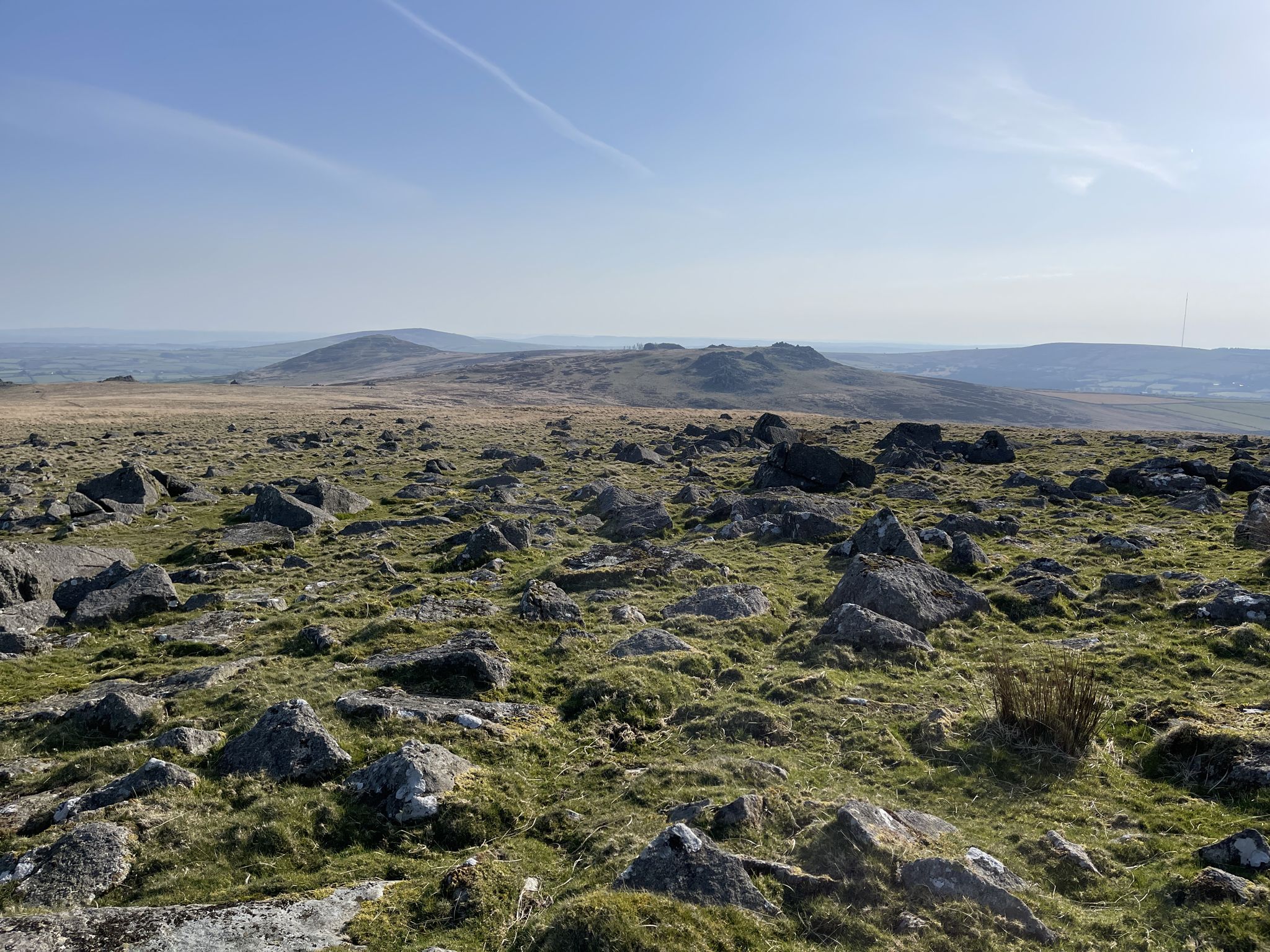
A few hills that take the BPMs up but the rewards are fantastic vistas
0
0

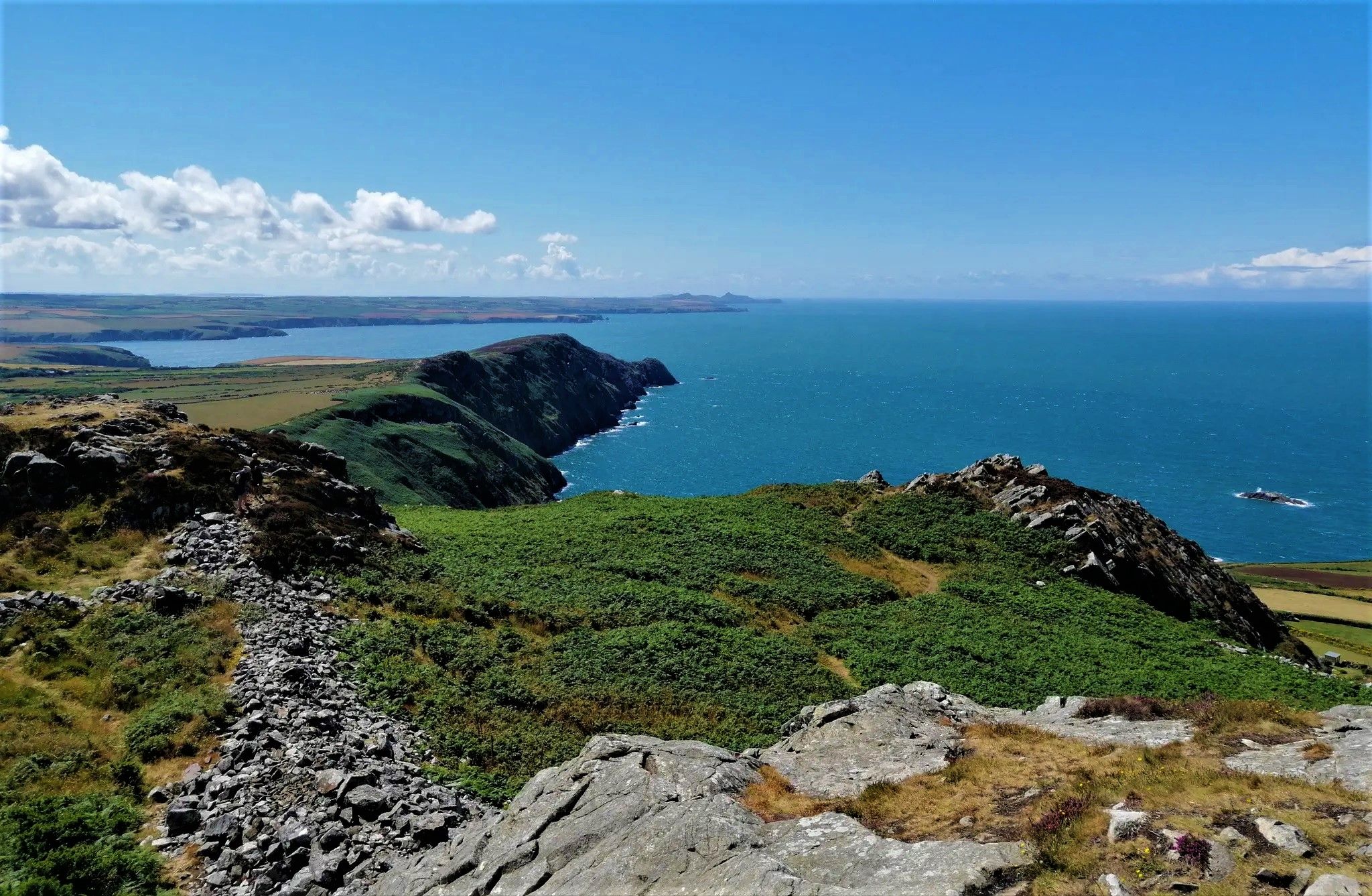
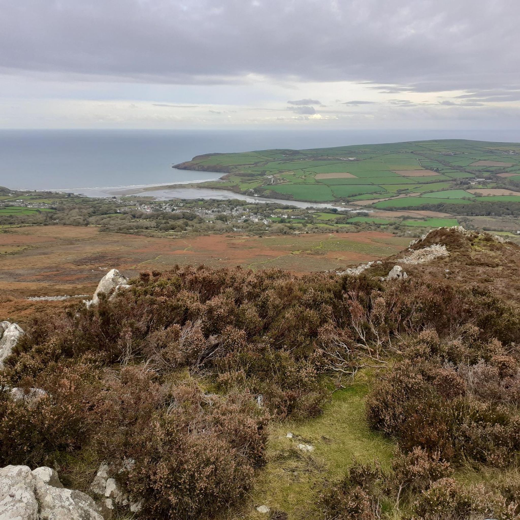
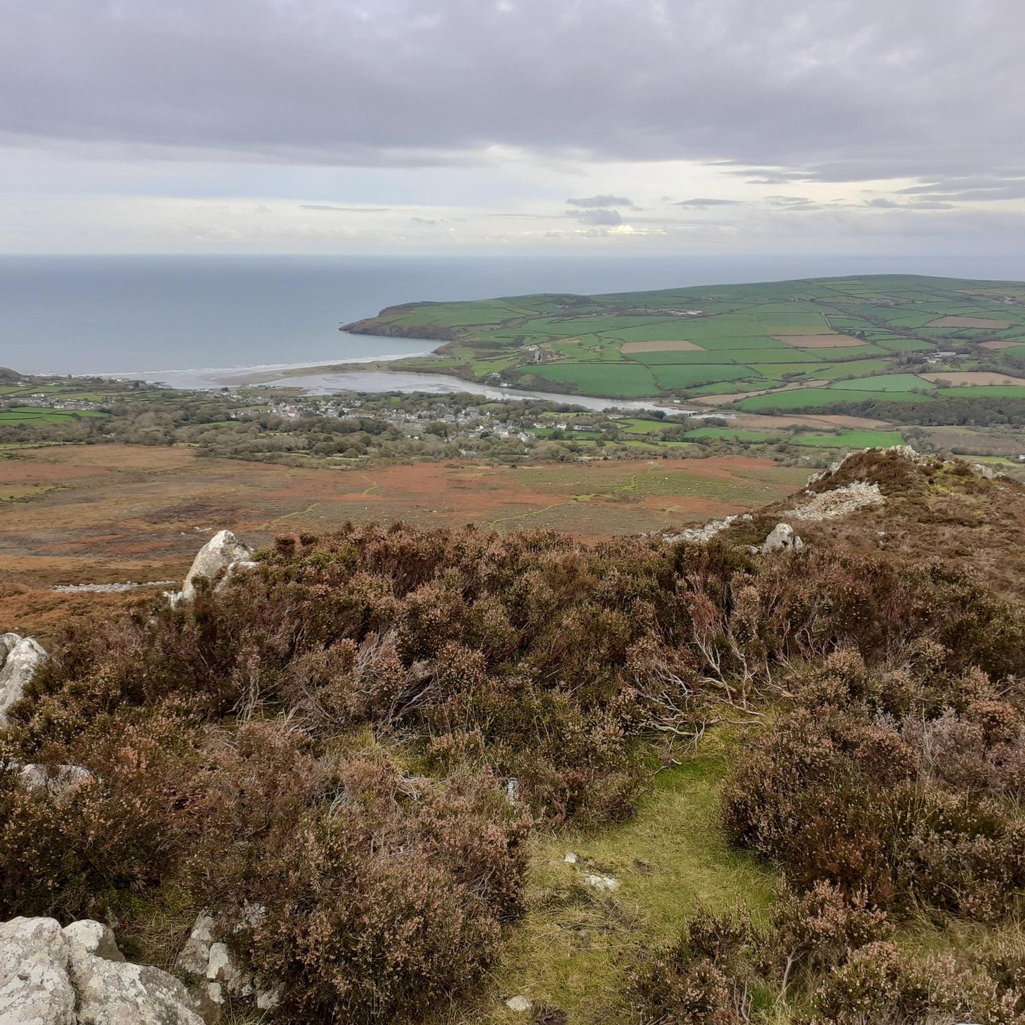
Views all round, to the sea, Cardigan Bay, north and Milford Haven in south.
0
0

Mynydd Carningli, or Carningli for short (or "Carn Ingli"), is almost 350 meters high and around 450 million years old. It is a long-extinct volcano that has been eroded by sea, rainwater, and wind. Today, only the core of Carningli remains. It was first documented as "Mons Angelorum" (Mountain of the Angels) in the 12th century. Saint Brynach is said to have lived nearby in a small community of monks around 450 AD and often climbed the mountain to speak with the angels. Those who climb the mountain today, enjoying the peace and the surrounding views, can easily imagine that the saint—like other people—sought proximity to the angels there.
0
0

A lovely little tucked away quarry which is great to have a dip mid run. The water is freezing though so bare that in mind! Great area for running and exploring the Presellis
0
0

A fantastic section of natural singletrack that tests the skill and line choice of all riders
0
0

Frequently Asked Questions
How many running routes are available in Mynachlog-Ddu?
There are over 40 running routes around Mynachlog-Ddu, offering a wide range of experiences from easy jogs to challenging mountain runs. You'll find options suitable for various fitness levels.
Are there easy running routes for beginners in Mynachlog-Ddu?
Yes, Mynachlog-Ddu offers a few easier running options. While most routes are moderate to difficult, there is at least one designated easy route. These typically feature less elevation gain and shorter distances, perfect for those new to running or looking for a relaxed jog.
What kind of terrain can I expect on Mynachlog-Ddu's running trails?
The running trails in Mynachlog-Ddu traverse a diverse landscape. You can expect a mix of open hills, rural paths, and areas featuring historical standing stones and quarries. Routes often provide views of the surrounding countryside and its unique geological formations, including ascents to summits like Foel Feddau and Carningli Mountain.
Are there any circular running routes in Mynachlog-Ddu?
Many of the running routes in Mynachlog-Ddu are circular, allowing you to start and finish at the same point. For example, the Carn Gyfrwy – Bedd Arthur Stone Circle loop from Mynachlogddu is a challenging 11.7 km circular route that takes you past historical sites.
Can I bring my dog on the running trails in Mynachlog-Ddu?
Many trails in Mynachlog-Ddu are suitable for running with dogs, especially those on public footpaths and bridleways. However, always be mindful of livestock, especially during lambing season, and keep dogs on a lead where necessary. It's advisable to check specific route details for any restrictions.
Are there family-friendly running options in Mynachlog-Ddu?
While many routes involve significant elevation, some of the moderate trails or shorter sections of longer routes can be suitable for families looking for a gentle jog or walk. Look for routes with less challenging terrain and shorter distances, keeping in mind the region's generally hilly nature.
What are some interesting sights or landmarks I might see while running?
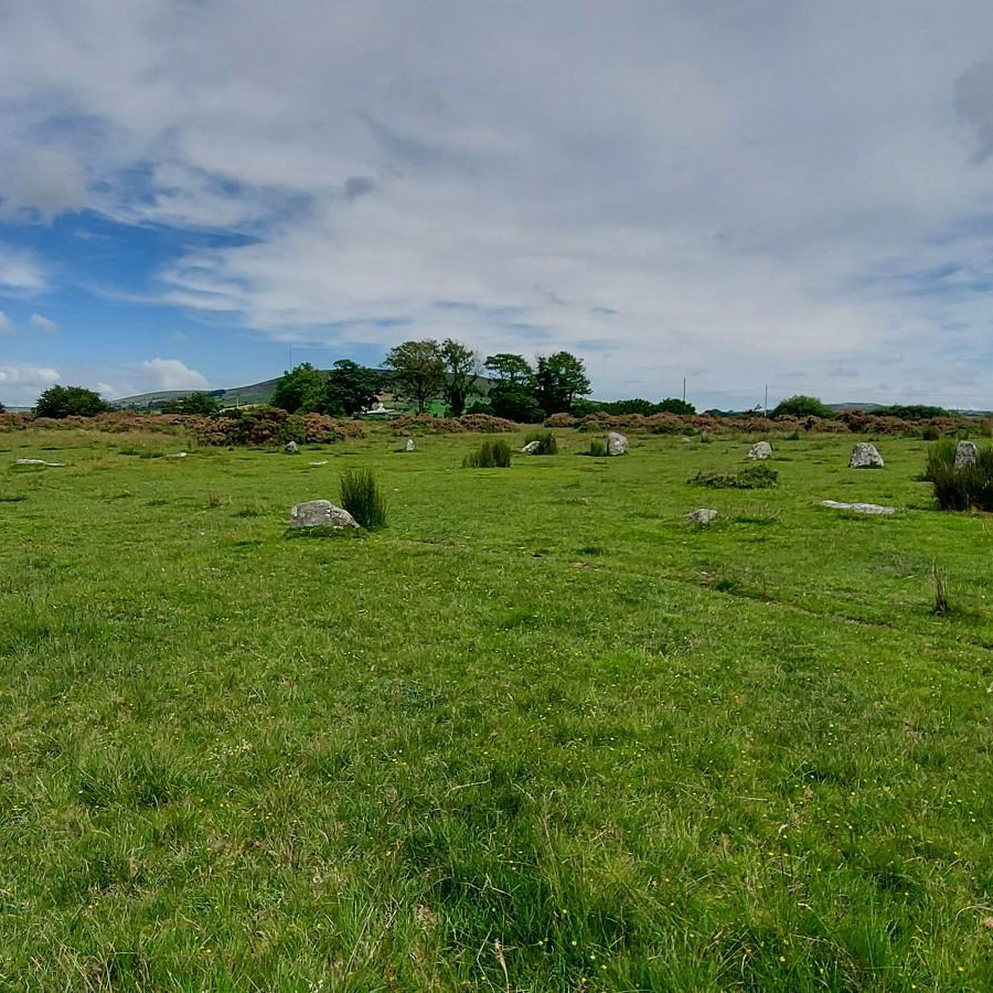
Mynachlog-Ddu's running routes offer glimpses of historical and natural landmarks. You might pass by the Bedd Arthur Stone Circle, or enjoy views from summits like Carningli Mountain and Foel Cwmcerwyn summit. The region is also known for its ancient quarries and standing stones.
Where can I find parking for the running routes?
Parking is typically available at common starting points for routes, such as near villages like Maenclochog or Mynachlogddu. Specific parking information can often be found in the detailed route descriptions on komoot, which may include designated car parks or roadside parking areas.
What is the best time of year to go running in Mynachlog-Ddu?
Spring and summer generally offer the most pleasant conditions for running in Mynachlog-Ddu, with milder weather and longer daylight hours. Autumn can also be beautiful with changing foliage. Winter running is possible but requires appropriate gear due to potentially wet, windy, and colder conditions on exposed hills.
Are there any running routes that pass by a pub or cafe?
Yes, some routes are designed to include refreshment stops. For instance, the Caffi'r Sgwar – Cafe in the United Kingdom loop from Maenclochog is a moderate 10.6 km route that specifically includes a cafe, perfect for a mid-run break or post-run treat.
What do other runners say about the trails in Mynachlog-Ddu?
The running trails in Mynachlog-Ddu are highly rated by the komoot community, with an average score of 5.0 stars. Runners often praise the diverse terrain, the challenging ascents to summits, and the scenic views of the Pembrokeshire countryside.
Are there any longer, more challenging running routes for experienced runners?
Absolutely. For experienced runners seeking a challenge, Mynachlog-Ddu offers several difficult routes with significant elevation gain. A prime example is the Carningli Mountain – Foel Cwmcerwyn summit loop from Maenclochog, an extensive 38.5 km path featuring substantial climbs to two prominent summits.
What kind of wildlife might I encounter on the running paths?
The rural and hilly landscape of Mynachlog-Ddu is home to various wildlife. You might spot birds of prey soaring overhead, or encounter local sheep and ponies grazing on the open hills. Keep an eye out for smaller mammals and diverse birdlife, especially in quieter, less frequented areas.
Most popular attractions around Mynachlog-Ddu

Get inspired with the komoot mobile app


Explore more
Browse the best Running Trails & Routes in other regions.
