The best walks and hikes around Nantcwnlle
4.6
(130)
606
hikers
17
hikes
Hiking around Nantcwnlle offers diverse landscapes, from tranquil river valleys to coastal paths with sea views and historic hillforts. The region is characterized by a mix of woodlands, open countryside, and gentle elevations. Trails often follow river courses, such as the Aeron, and provide access to the Welsh coastline. The terrain is generally accessible, with options ranging from easy riverside strolls to more moderate routes exploring the local hills.
Best hiking trails around Nantcwnlle
- The most popular hiking route is From Long Wood Lampeter to Allt-goch hillfort, a 6.3 miles (10.2 km) trail that takes 2 hours 45 minutes to complete, leading through woodlands to a historic site.
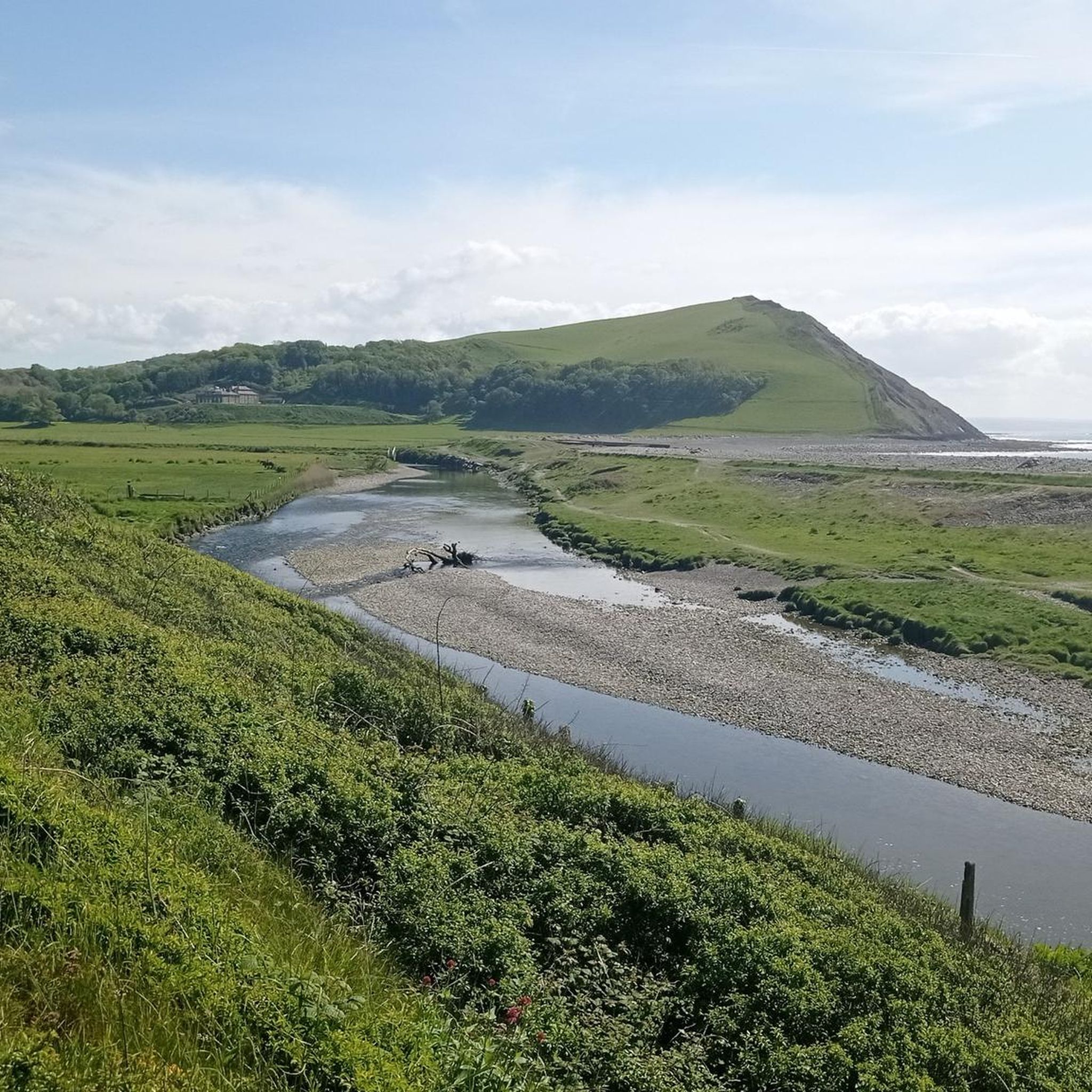
- Another top favourite among local hikers is Coastal Pathway with Sea View – Aberaeron Harbour loop from Llannon, a moderate 10.0 miles (16.1 km) path offering expansive views of the coastline and Aberaeron Harbour.
- Local hikers also love the River Aeron Riverside Walk loop from Llanerchaeron, a 2.7 miles (4.4 km) trail leading through a peaceful river valley, often completed in about 1 hour 10 minutes.
- Hiking around Nantcwnlle is defined by scenic coastal paths, tranquil river valleys, and routes exploring local woodlands and historic sites. The network offers options for different ability levels, from easy family friendly hikes to more challenging routes.
- The routes in Nantcwnlle are highly rated by the komoot community with an average score of 4.7 stars from over 110 reviews. More than 570 hikers have used komoot to explore Nantcwnlle's varied terrain.
Last updated: July 4, 2026
3.5
(2)
11
hikers
10.2km
02:45
130m
140m
Moderate hike. Good fitness required. Easily-accessible paths. Suitable for all skill levels.
5.0
(2)
28
hikers
16.1km
04:15
140m
140m
Moderate hike. Good fitness required. Easily-accessible paths. Suitable for all skill levels.

Sign up for free
5.0
(2)
12
hikers
6.82km
01:53
110m
110m
Easy hike. Great for any fitness level. Easily-accessible paths. Suitable for all skill levels.
5.0
(1)
11
hikers
4.36km
01:09
40m
40m
Easy hike. Great for any fitness level. Easily-accessible paths. Suitable for all skill levels.
4.5
(4)
37
hikers
Easy hike. Great for any fitness level. Easily-accessible paths. Suitable for all skill levels.
Get access to more routes and recommendations from other explorers.
Sign up for free
Already have an account?
Our route recommendations are based on thousands of hikes, rides, and runs completed by other people on komoot.
Start today with a free account
Your next adventure awaits.
Login or Signup

Tips from the Community

Surrounded by beautiful welsh countryside lies the estate of Llanerchaeron. There's a large selection of second hand books, free parking and a café during summer to enjoy a day out.
0
0

Allt Goch hill fort is a rather irregular, curvilinear enclosure, defined by substantial banks, or scarps. The form of the earthworks suggests that an original, roughly oval enclosure, 70-80m across, was extended to the south.
0
0
No need to get caught short in the forest! This Ty Bach has you covered. A simple compost toilet facility. No running water here!
1
0
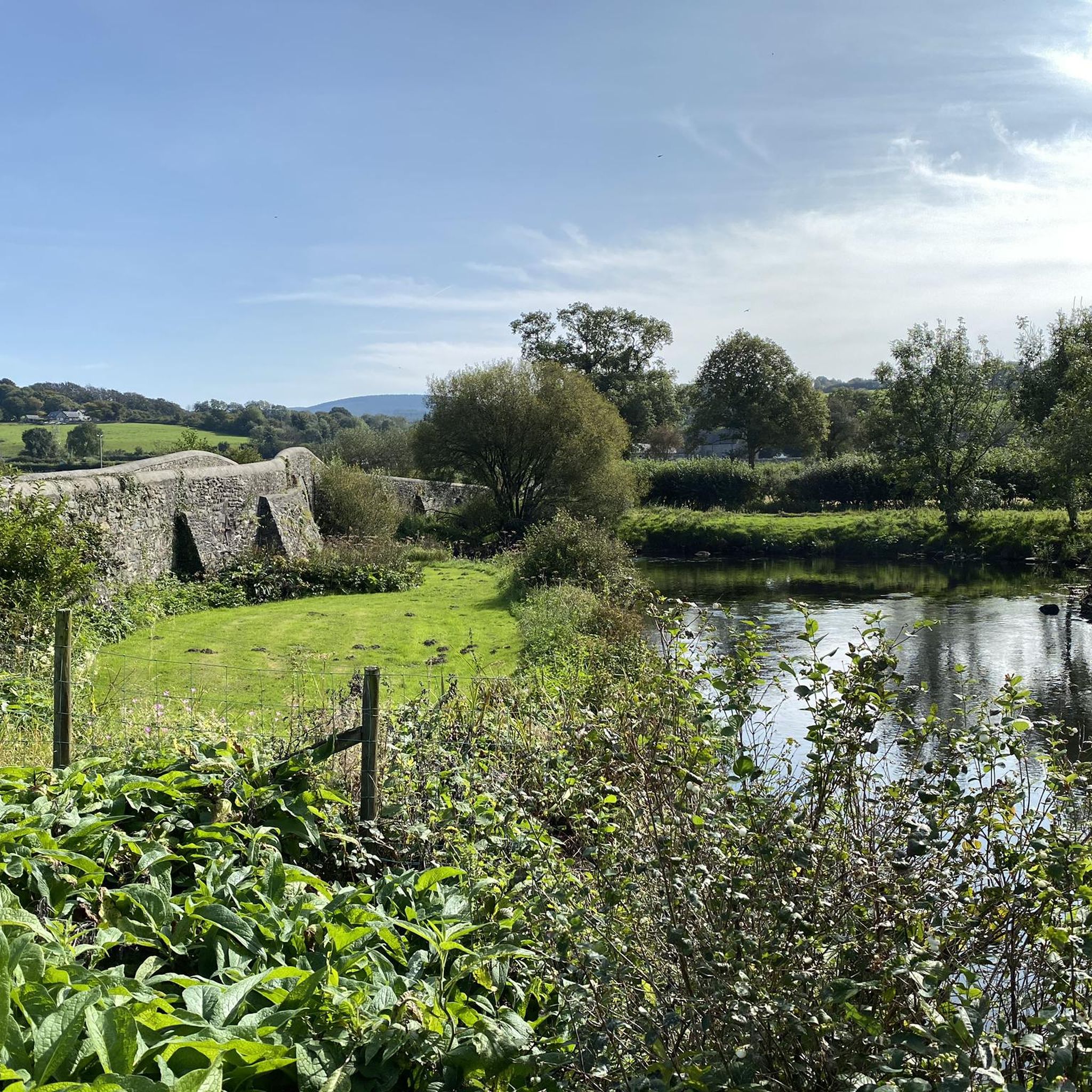
River bank walk along the Aeron which flows close to the restored mansion at Llanerchaeron before entering the town of Aberaeron where it passes into Cardigan Bay. Despite the relatively small size of the river, it sustains a population of salmon and brown trout. Dylan Thomas lived a few miles away at Talsarn and called the Aeron valley "the most precious place in the world."
1
0
Lampeter It is the third largest town in Ceredigion, and is also the smallest university town in the United Kingdom. with the campus of the University of Wales Trinity Saint David adding about 1,000 students to the population in term time.
1
0
Aberaeron is a pretty fishing port. It retains a Georgian character with elegant brightly painted townhouses and offers some high quality pubs and restaurants to choose from.
3
0


Frequently Asked Questions
How many hiking trails are available around Nantcwnlle?
Nantcwnlle offers a good selection of hiking opportunities, with over 18 routes available. These range from easy strolls to more moderate excursions, ensuring there's something for various fitness levels.
Are there easy hiking trails suitable for beginners or families in Nantcwnlle?
Yes, Nantcwnlle is well-suited for beginners and families, with 10 easy trails. A great option is the River Aeron Riverside Walk loop from Llanerchaeron, a peaceful 2.7-mile (4.4 km) route that follows the river.
What kind of landscapes can I expect to see while hiking in Nantcwnlle?
The region boasts diverse landscapes, including tranquil river valleys, coastal paths with expansive sea views, and routes through woodlands and open countryside. You'll also encounter historic sites like hillforts.
Are there any circular walks available in Nantcwnlle?
Many of the trails around Nantcwnlle are designed as circular routes. For example, the Coastal Pathway with Sea View – Aberaeron Harbour loop from Llannon offers a scenic circular journey along the coast.
Can I bring my dog on the hiking trails in Nantcwnlle?
Most trails in the Nantcwnlle area are dog-friendly, provided dogs are kept under control, especially around livestock. It's always advisable to keep your dog on a lead and clean up after them to respect the local environment and other hikers.
What are some interesting landmarks or attractions I can see near the hiking trails?
Hikers can explore several points of interest. You might encounter the historic Llanerchaeron Villa, Farm, Walled Garden, and Lake, or enjoy the bustling Aberaeron Harbour. The River Aeron Riverside Walk itself is a highlight for its natural beauty.
What is the best time of year to go hiking in Nantcwnlle?
Spring and summer offer pleasant weather for hiking, with wildflowers blooming and longer daylight hours. Autumn brings beautiful foliage. While winter can be damp, some trails remain accessible, offering a quieter experience. Always check local weather forecasts before heading out.
Are there any longer or more challenging hikes in the area?
Yes, for those seeking a longer challenge, routes like the From Long Wood Lampeter to Allt-goch hillfort provide a moderate 6.3-mile (10.2 km) journey through woodlands to a historic site.
Is parking generally available near the trailheads in Nantcwnlle?
Parking is typically available in or near the villages and popular starting points for trails, such as Llanerchaeron or Aberaeron. It's always a good idea to check specific route details or local signage for designated parking areas.
What do other hikers enjoy most about hiking in Nantcwnlle?
The area is highly rated by the komoot community, with an average score of 4.7 stars from over 110 reviews. Reviewers often praise the diverse scenery, from tranquil river paths to stunning coastal views, and the well-maintained trails that cater to various abilities.
Can I reach hiking trails in Nantcwnlle using public transport?
Public transport options, primarily local bus services, connect some of the villages and towns in the Nantcwnlle area, such as Lampeter and Aberaeron. From these points, you may be able to access various trailheads. Planning your route in advance with local bus timetables is recommended.
Are there any coastal walks with sea views?
Absolutely. The Nantcwnlle region is known for its scenic coastal paths. The Coastal Pathway with Sea View – Aberaeron Harbour loop from Aberarth is an easy 3.8-mile (6.1 km) option that offers beautiful views of the coastline and Aberaeron Harbour.
Most popular attractions around Nantcwnlle

Get inspired with the komoot mobile app


Explore more
Browse the best Hikes in other regions.
