The best walks and hikes around Llangunllo
4.1
(111)
737
hikers
75
hikes
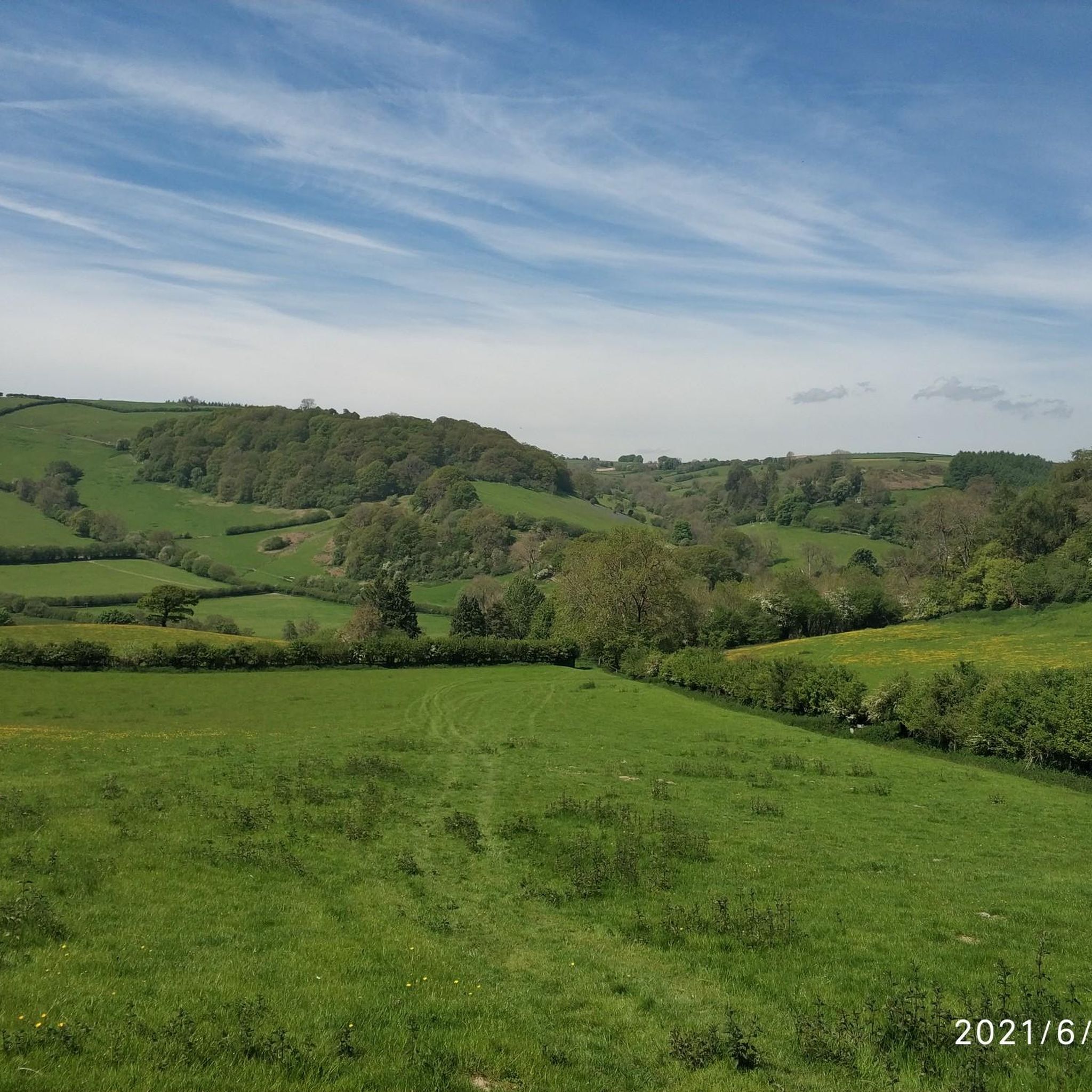
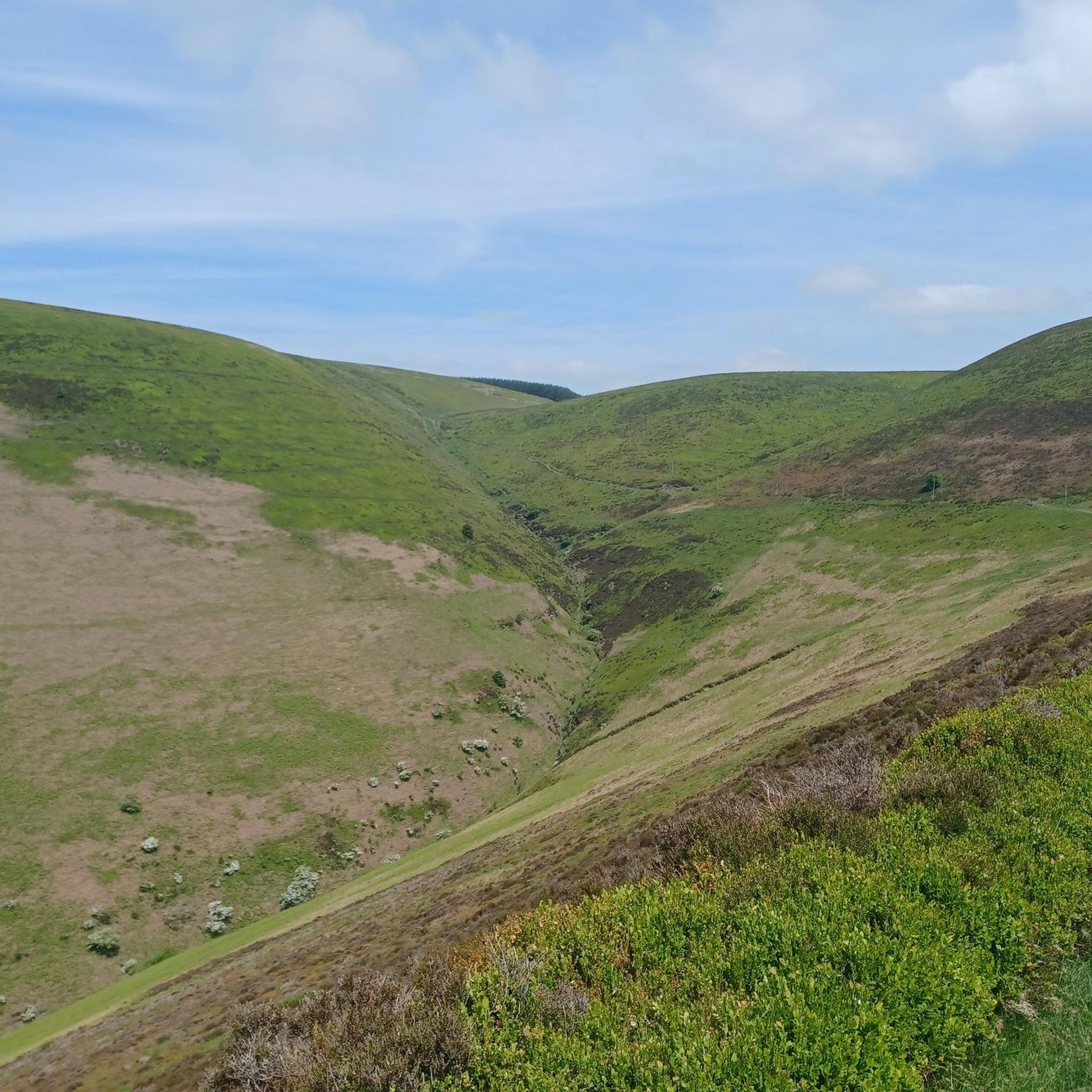
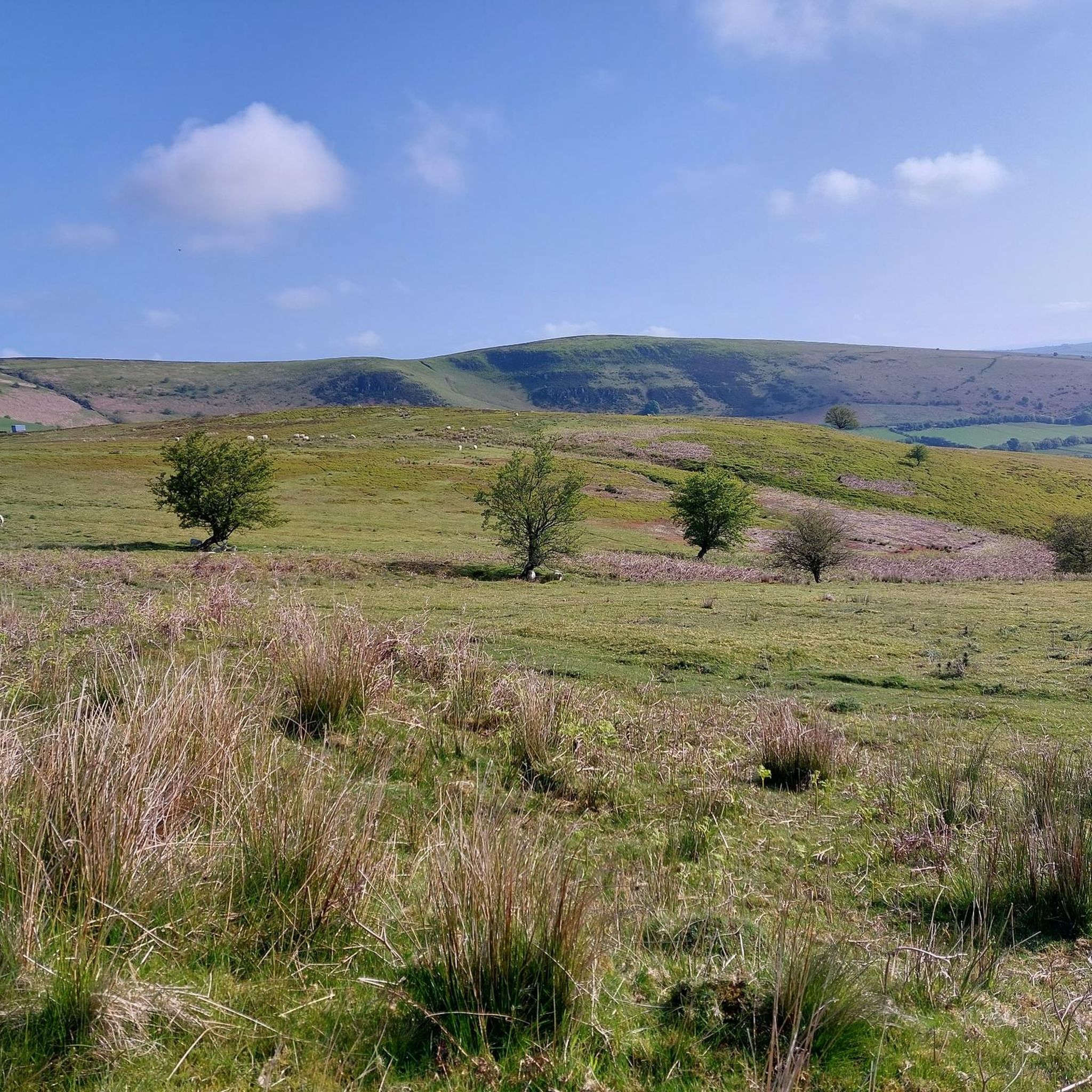
Hikes around Llangunllo explore the rolling green hills and partly forested landscape of Mid-Wales. The village provides direct access to sections of Glyndŵr's Way, a National Trail that passes through the region. The terrain is characterized by a patchwork of farms, quiet country lanes, and grassy tracks with distant hill views.
Best hiking trails around Llangunllo
- The most popular hiking route is Llanfair Waterdine & Llanfair Hill loop — Shropshire Hills, a 6.1 mile (9.7 km) trail that takes about 2 hours 50 minutes to complete. This moderate route includes an ascent to the summit of Llanfair Hill.
- Another top favourite among local hiking enthusiasts is Fron-wen Summit (546 m) loop from Bleddfa, a moderate 6.0 mile (9.6 km) path. The route features a steady climb to the Fron-wen summit, offering expansive views of the surrounding countryside.
- Local hiking enthusiasts also love the Wales–England Border – Knighton Clock Tower loop from Knighton, a 3.2 mile (5.1 km) trail leading past the Knighton Clock Tower, often completed in about 1 hour 35 minutes.
- Hiking around Llangunllo is defined by its rolling hills, sections of long-distance paths like Glyndŵr's Way, and quiet farmland. The network of Llangunllo walking routes offers options for different ability levels, from easy loops to more moderate hill climbs.
- The routes in Llangunllo are highly rated by the komoot community with an average score of 4.2 stars from more than 80 reviews. More than 500 hikers have used komoot to explore Llangunllo's varied terrain.
Last updated: October 9, 2026
4.6
(5)
7
hikers
9.75km
02:51
270m
270m
Moderate hike. Good fitness required. Easily-accessible paths. Suitable for all skill levels.
5.0
(5)
15
hikers
5.13km
01:36
180m
180m
Easy hike. Great for any fitness level. Easily-accessible paths. Suitable for all skill levels.

4.3
(4)
15
hikers
9.65km
02:46
230m
230m
Moderate hike. Good fitness required. Easily-accessible paths. Suitable for all skill levels.
7
hikers
4.44km
01:22
150m
150m
Easy hike. Great for any fitness level. Easily-accessible paths. Suitable for all skill levels.
5.0
(2)
5
hikers
5.04km
01:22
80m
80m
Easy hike. Great for any fitness level. Easily-accessible paths. Suitable for all skill levels.
Get access to more routes and recommendations from other explorers.
Already have an account?
Our route recommendations are based on thousands of hikes, rides, and runs completed by other people on komoot.
Start today with a free account
Your next adventure awaits.


Tips from the Community

This is the start point of the Glyndŵr's Way National Trail which winds through mid-Wales and ends at Welshpool. It's not as popular a trail as Offa's Dyke which is the main reason you'll meet other hikers here in Knighton.
1
0

Knighton is a beautiful border market town and is unique in being the only town to sit astride Offa's Dyke national footpath. It is also notable as the starting point of Glyndwr's Way, following the route of the Welsh leader's significant battles. It is also a mecca for border cyclists and there are plenty of routes to navigate the surrounding hills and stunning countryside.
1
0

Llanfair Waterdine, also known as Llanvair Waterdine, is a pretty little Shropshire hamlet located very close to the Welsh border. Its most iconic attraction is the 15th century Welsh long house, originally built as a Drovers Inn.
1
1

An opportunity to get overwhelmed by huge amounts of info about Offa's Dyke. And go to the toilet before you set off!
0
0


Great stop for cyclists, good coffee, cake and lunchtime light meals. Massive selection of teas. Interesting items for sale
0
0

Llanfair Hill lies near the Welsh/English border in Shropshire and has far-reaching views in every direction. Grassy and exposed the hill is also home to a stretch of Offa's Dyke and the long-distance footpath, Jack Mytton Way. There's a trig point at 1,410 feet (430 m).
1
0

While I was planning my route out, I noticed on one of the ordnance maps online that there is a hill called Llanfair Hill on Offa's Dyke Path. It measures at 430m high, which is somewhere I really wanted to go and see for myself. On the day of the walk, I eventually arrived at the trig point located in a field right next to a metal fence. Llanfair Hill does offer gorgeous views of the Welsh valleys in the distance if you are planning on going walking on a clear day, just like I did.
0
0
Frequently Asked Questions
Are there many circular walks starting from Llangunllo?
Yes, the area is well-suited for circular hikes. While many routes explore sections of long-distance paths, you can find enjoyable loops that bring you back to your starting point. For an easy circular option, consider the Llanfair Waterdine loop from Lloyney, which is a relatively flat walk through the surrounding farmland.
Can I hike a section of Glyndŵr's Way from Llangunllo?
Absolutely. The village of Llangunllo is located directly on the Glyndŵr's Way National Trail, giving you immediate access. A popular section is the 7.5-mile walk from Llangunllo to the nearby town of Knighton, which follows the trail through quiet lanes and across grassy tracks with lovely hill views.
How can I get to Llangunllo using public transport for a hike?
Llangunllo has its own train station on the Heart of Wales Line, making it accessible for hikers without a car. You can take a train directly to the village to start your walk. A popular option is to walk from Llangunllo to Knighton and then take the train back, creating a scenic one-way journey.
Are the hiking trails around Llangunllo suitable for dogs?
Many trails in the area are great for walking with a dog, as they pass through open countryside and quiet lanes. However, the region is characterized by a patchwork of farms, so you will likely encounter livestock. Always be prepared to keep your dog on a lead, especially in fields with sheep.
What is the terrain like on the walking routes near Llangunllo?
The landscape is defined by classic Mid-Wales scenery: rolling green hills, sections of forest, and quiet country lanes connecting farms. The paths are typically a mix of grassy tracks, bridleways, and tarmac lanes. While some routes are relatively gentle, others involve steady climbs to summits for rewarding views.
Are there any easy, shorter walks available in the area?
Yes, there are several easier options for those looking for a less strenuous day out. For a short walk that still offers a sense of history and place, the Knighton Clock Tower – Wales–England Border loop from Knighton is a great choice, covering just over 4 km.
Where can I find good viewpoints on a hike near Llangunllo?
For expansive views, you'll want to tackle one of the local summits. The Fron-wen Summit (546 m) loop from Bleddfa involves a steady climb that rewards you with panoramic vistas over the surrounding countryside. Llanfair Hill is another popular objective for its far-reaching views.
Is Offa's Dyke Path accessible from Llangunllo?
While Llangunllo is not directly on Offa's Dyke Path, the historic trail is just a short drive away, particularly near the town of Knighton, which serves as a major hub for the path. You can easily combine a stay in Llangunllo with day trips to hike sections of this famous ancient earthwork.
Where is a good place to park for a walk?
For walks starting in Llangunllo village, on-street parking is available but can be limited, so please park considerately. For routes starting from nearby towns like Knighton, you will find dedicated public car parks. Some trailheads, like those for the Llanymynech Rocks Nature Reserve, also have small, designated parking areas.
What do other hikers enjoy about the trails around Llangunllo?
The area is highly regarded by the komoot community, with an average rating of 4.2 stars. Hikers often praise the tranquility of the routes, the beautiful rolling green hills, and the mix of quiet country lanes and classic grassy paths. The direct access to a National Trail like Glyndŵr's Way is also a frequently mentioned highlight.
How many hiking trails are there to choose from around Llangunllo?
There are over 70 curated hiking routes to explore in the Llangunllo area on komoot. These range from short, easy loops of a few kilometers to more challenging all-day treks, ensuring there's a walk to suit every ability level.
Are there any notable nature reserves to visit on a hike?
Yes, the nearby Llanymynech Rocks Nature Reserve is a popular spot with hikers. It offers a variety of paths with amazing views, and you can explore old mines, tunnels, and other historic mining features. It's a great destination for a walk that combines natural beauty with local history.
Most popular attractions around Llangunllo

Get inspired with the komoot mobile app


Explore more
Browse the best Hikes in other regions.
