The best walks and hikes around Sealand
4.3
(729)
9,035
hikers
378
hikes
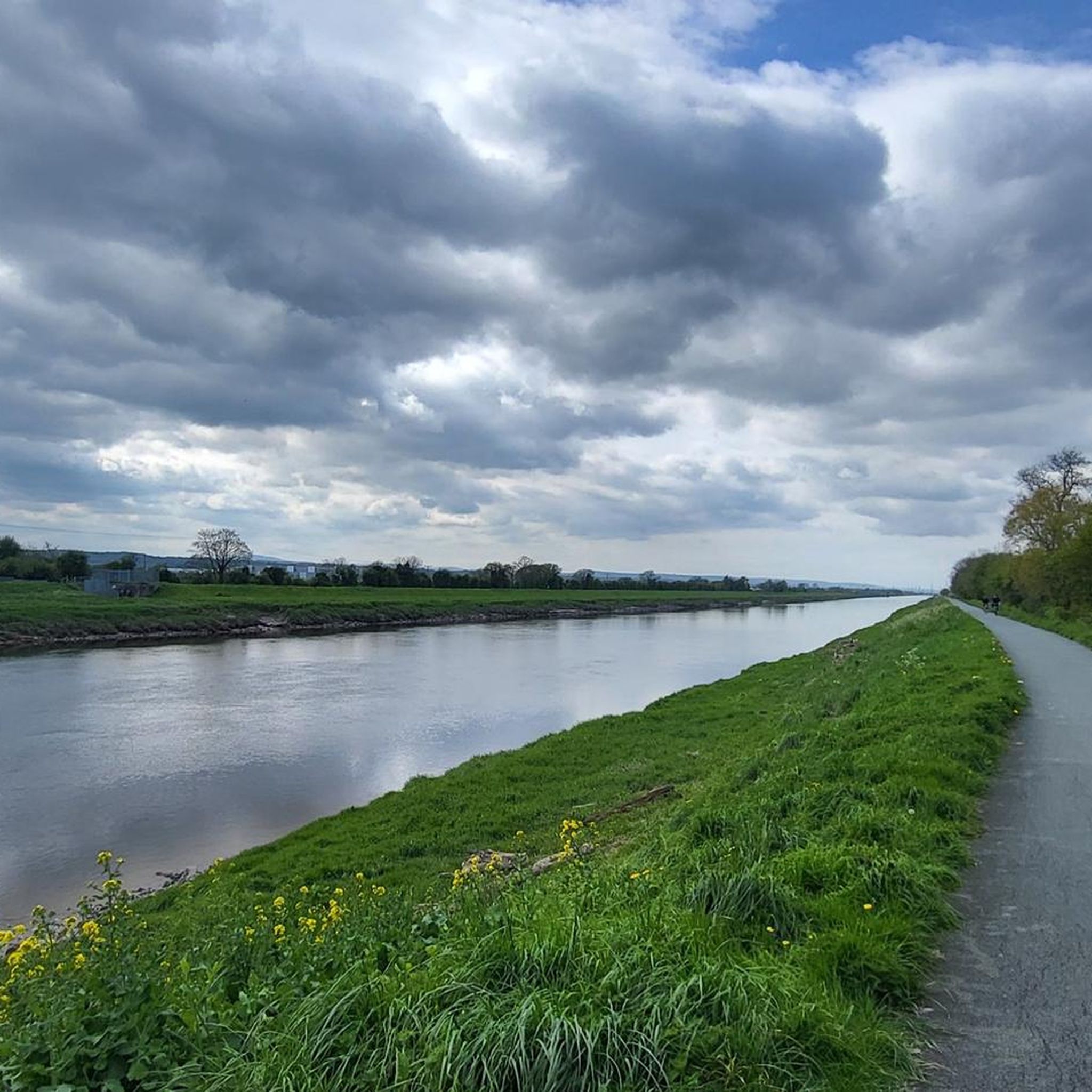
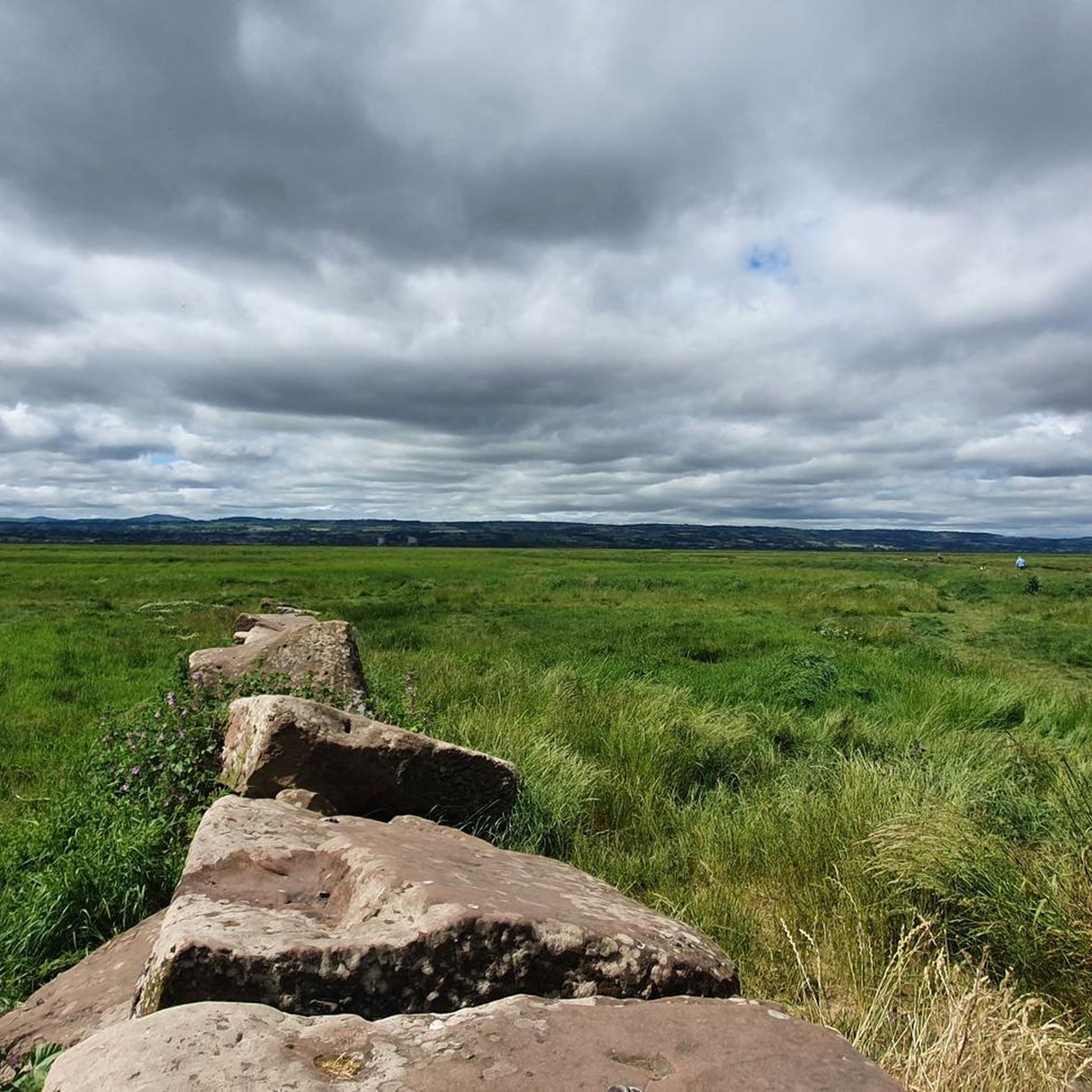
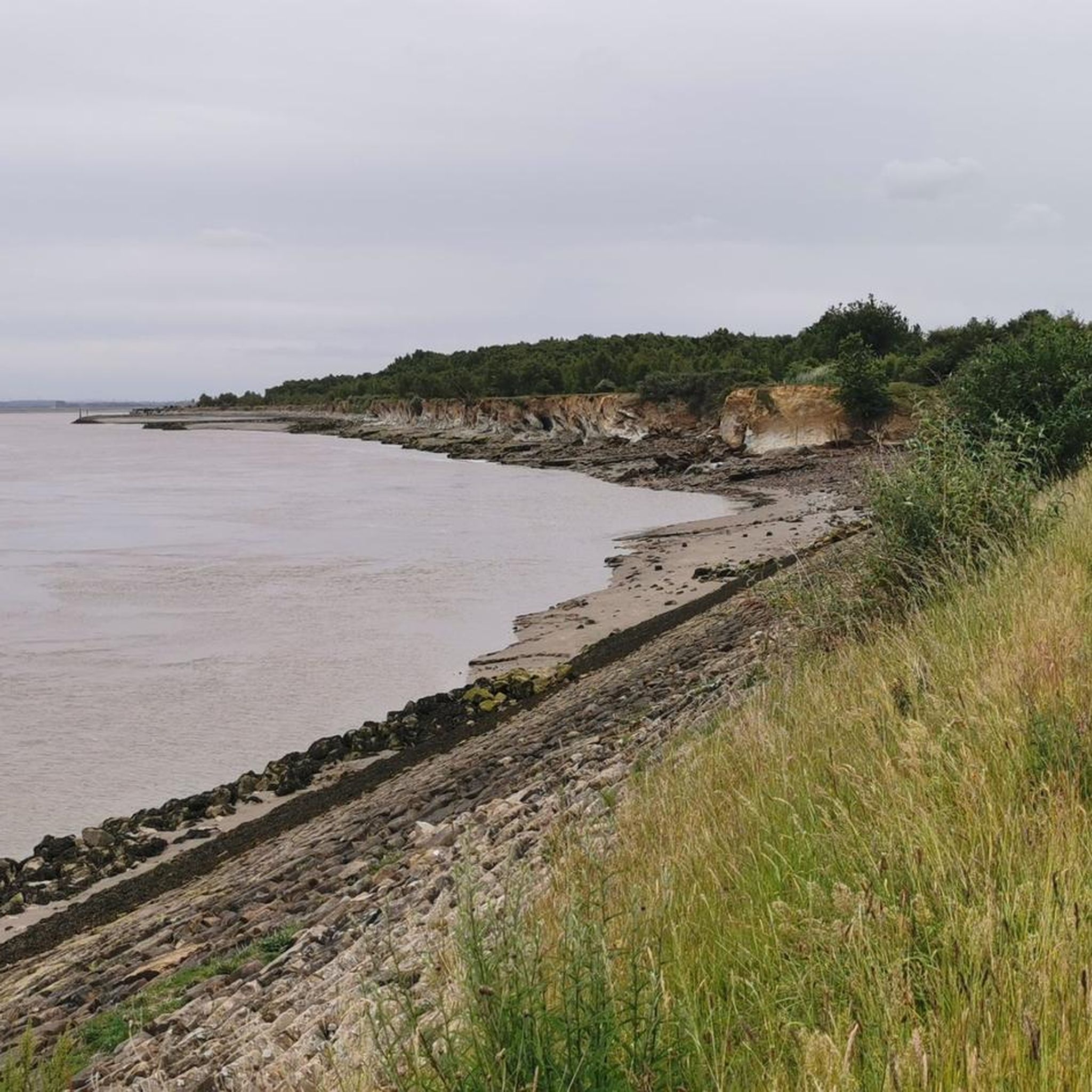
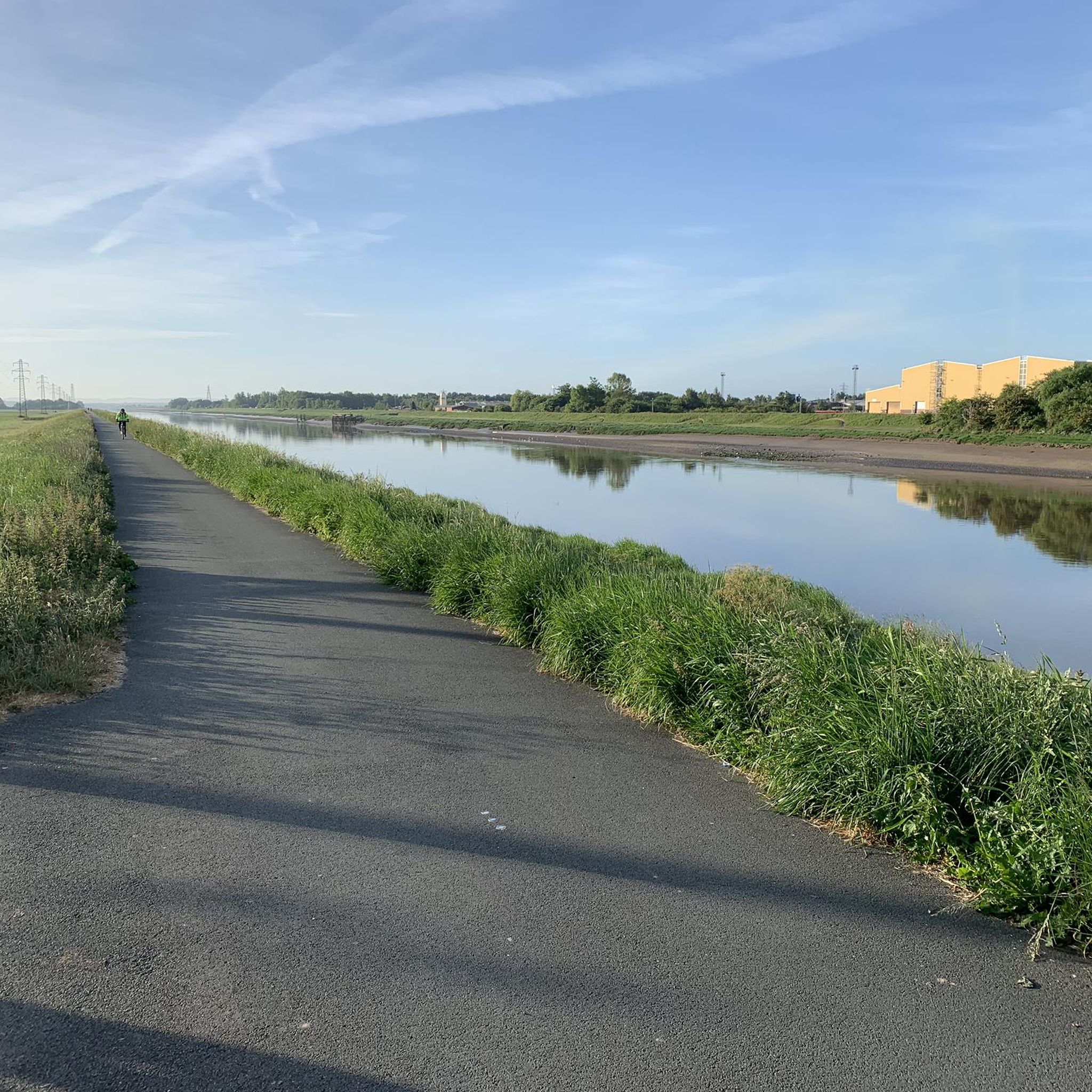
Hikes around Sealand explore the low-lying terrain of the Dee Estuary, situated between the Wirral Peninsula and North Wales. The region is characterized by flat riverside paths, expansive marshlands, and agricultural fields. Routes often follow the River Dee and the Wales Coast Path, offering a landscape shaped by waterways and open skies with minimal elevation change.
Best hiking trails around Sealand
- The most popular hiking route is Chester Castle – Watergate loop from Saltney, a 6.7 mile (10.8 km)…
Last updated: October 14, 2026
5.0
(7)
35
hikers
10.4km
02:40
30m
30m
Moderate hike. Good fitness required. Easily-accessible paths. Suitable for all skill levels.
5.0
(1)
42
hikers
Easy hike. Great for any fitness level. Easily-accessible paths. Suitable for all skill levels.

5.0
(2)
22
hikers
23.5km
05:55
30m
20m
Hard hike. Very good fitness required. Easily-accessible paths. Suitable for all skill levels.
15
hikers
Easy hike. Great for any fitness level. Easily-accessible paths. Suitable for all skill levels.
16
hikers
6.70km
01:42
10m
10m
Easy hike. Great for any fitness level. Easily-accessible paths. Suitable for all skill levels.
Get access to more routes and recommendations from other explorers.
Already have an account?
Our route recommendations are based on thousands of hikes, rides, and runs completed by other people on komoot.
Start today with a free account
Your next adventure awaits.

Tips from the Community

Gifted to the city from Richard Grosvenor, 2nd Marquess of Westminster. He gave the land and paid for the design. Laid out 1865-66, opened November 1867. Grade II* listed, one of the finest Victorian parks left in UK. Formal avenues, sweeping lawns, ornamental beds - classic Victorian mix of formal and picturesque. Entrance lodge by John Douglas, famous Chester architect. Statues, a miniature railway in summer, cafe in the lodge. Had a £3.6m restoration, reopened 2014 by 6th Duke of Westminster.
0
0
Built 1322-25, right in the River Dee - it was Chester's harbour defence. Architect John Helpston charged £100, which was a fortune. Then the Dee silted up, the port died, and the tower ended up 200 yards inland looking a bit confused. Below it is Tower Gardens - lawns, bowling green, playground where the ships used to be. Perfect picnic stop on the walls walk before you hit the racecourse.
0
0
The first version by Robert Stephenson collapsed in 1847 - one of Britain's first rail disasters. This one replaced it in 1870: wrought-iron lattice girders on chunky brick arches.
0
0

good pathetic to ride or walk ! beware its closed on Race days 🐴
0
0

Originally called the New Tower, the Water Tower stands at the end of a crenellated retaining wall in an area now known as Tower Gardens. The spur wall connects the Water Tower to Bonewaldesthorne Tower, located at the northwest angle of the main walls. The lower area where the Water Tower stands was once covered by the River Dee before the river silted up and receded. The Water Tower was built in 1322 by the mason John de Helpeston for the sum of 100 pounds and remains largely unchanged today. The Water Tower's purpose was to guard Chester's port. Now that the river has receded, the "Tower Gardens" area is a pleasant place to relax in fine weather. There is a children's playground and a bowling alley at the Water Tower. Source: http://www.discoverchester.co.uk/
0
0

Beautiful down here when the weather is nice. Walk upstream, on the southern side of the river, for half a mile towards Earl's Eye for a stroll across the meadows with a riverside view.
0
0

Would recommend heading from Wales into England at sunset. Riding into the setting sun in such a tranquil spot
0
0
Frequently Asked Questions
Can I actually hike on the Principality of Sealand?
No, this guide is not about the Principality of Sealand, which is a micronation on a former sea fort in the North Sea. The hikes featured here are in and around the community of Sealand in Flintshire, Wales, located by the Dee Estuary. For more information on the micronation, you can visit its Wikipedia page.
Are these hiking trails on the Danish island of Zealand (Sjælland)?
No, these hiking routes are located in the Sealand area of Flintshire, Wales, and near Chester, England. They are not on the Danish island of Zealand (Sjælland).
What is the terrain like for hiking around Sealand?
The landscape is predominantly flat and low-lying. Hikes typically follow riverside paths along the River Dee, cross expansive marshlands, and traverse agricultural fields. You can expect minimal elevation change, making it accessible for most fitness levels.
Are there many trails to choose from in the Sealand area?
Yes, there is a wide variety of options. You can find over 400 routes in the region, with the majority being easy or moderate. This includes everything from short strolls to longer day hikes.
What do other hikers think of the trails around Sealand?
The area is well-regarded by the komoot community, with thousands of hikers having explored the trails. Reviewers often praise the wide-open views across the estuary and the peaceful, flat paths that are easy to follow.
Are there any good options for a family-friendly walk?
Absolutely. The flat terrain makes this area ideal for families. A great choice is the Hawarden Bridge loop from Shotwick. It's an easy walk with very little elevation, offering a straightforward and enjoyable outing for all ages.
Can I bring my dog on these hikes?
Dogs are generally welcome on the public footpaths in the area. However, many routes cross marshlands and agricultural land with livestock or ground-nesting birds. It is essential to keep your dog on a lead and under control in these sensitive areas.
Are there any challenging hikes for experienced walkers?
While the region is mostly flat, there are longer routes that offer a challenge in terms of distance rather than elevation. For a full day of walking, consider the Saltney Ferry Footbridge – Chester Water Tower loop from Shotton, which covers over 14 miles (23 km) along the river and canal paths.
What kind of nature and wildlife can I expect to see?
The Dee Estuary is a significant area for wildlife, particularly birdlife. The marshlands and tidal flats attract a variety of waders and waterfowl, especially during migration seasons. The trails offer excellent opportunities for birdwatching in a unique estuarine environment.
Are most of the hiking routes circular?
Yes, many of the popular trails in this guide are loop walks. This makes logistics easier as you can start and finish in the same location, which is convenient for parking.
Where can I find good coastal or riverside walks?
The entire region is defined by the River Dee and its estuary. Many trails follow the Wales Coast Path or riverside promenades, providing constant water views. You'll find paths that run right alongside the river and across the open salt marshes.
How do I get to the trailheads using public transport?
Several routes start near towns like Chester, Saltney, and Shotton, which are accessible by bus or train. However, some trailheads in more rural spots might be harder to reach. It's best to check local bus and train schedules to plan your journey to a specific trailhead.
Most popular attractions around Sealand

Get inspired with the komoot mobile app


Explore more
Browse the best Hikes in other regions.
