The best walks and hikes around Llangwm
4.2
(158)
1,106
hikers
58
hikes
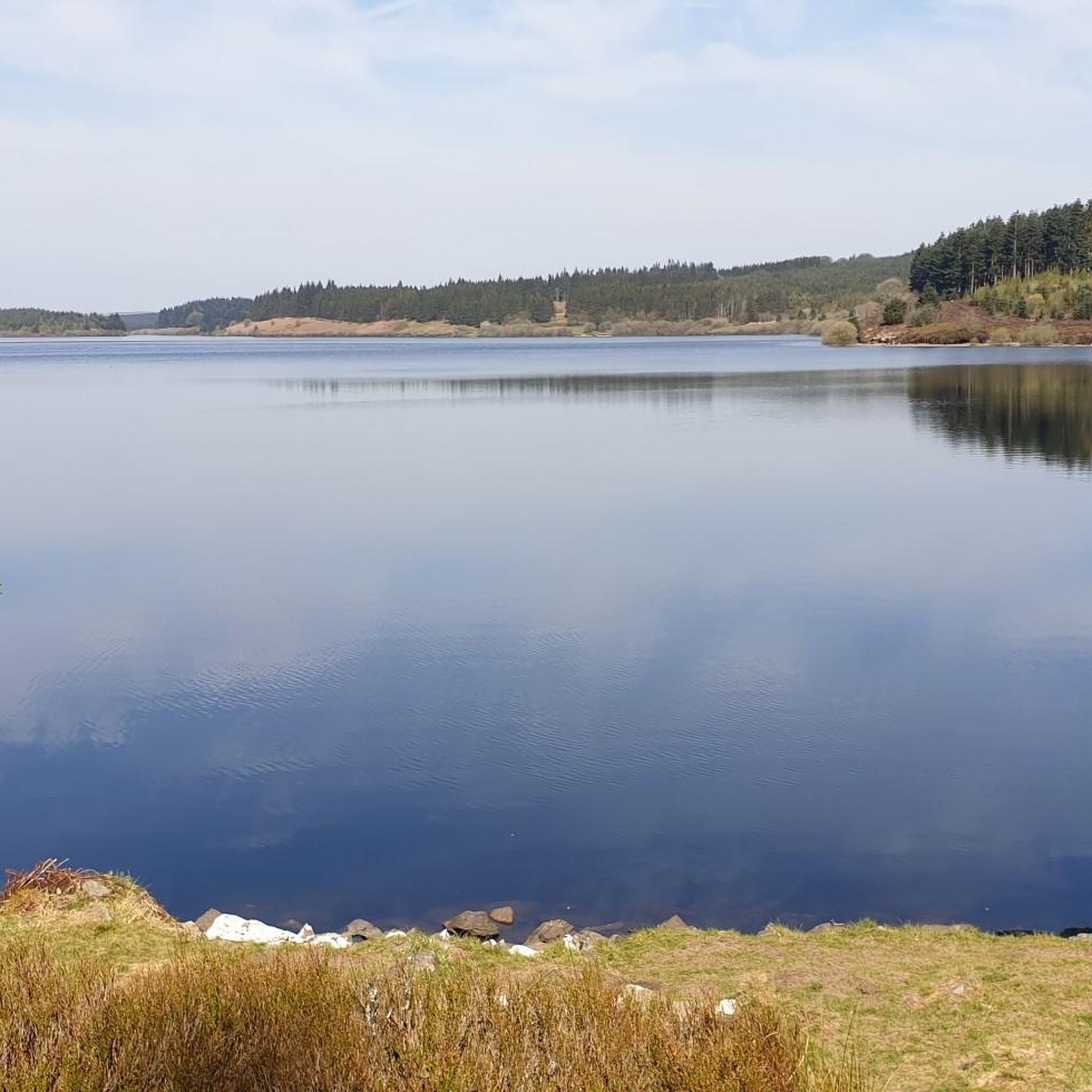
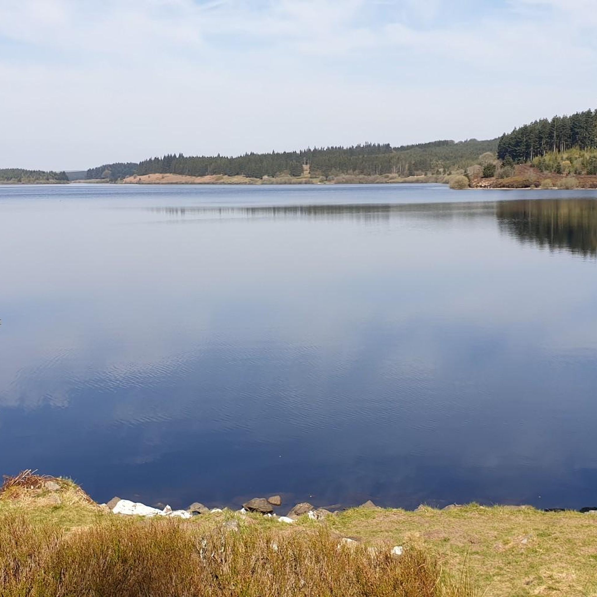
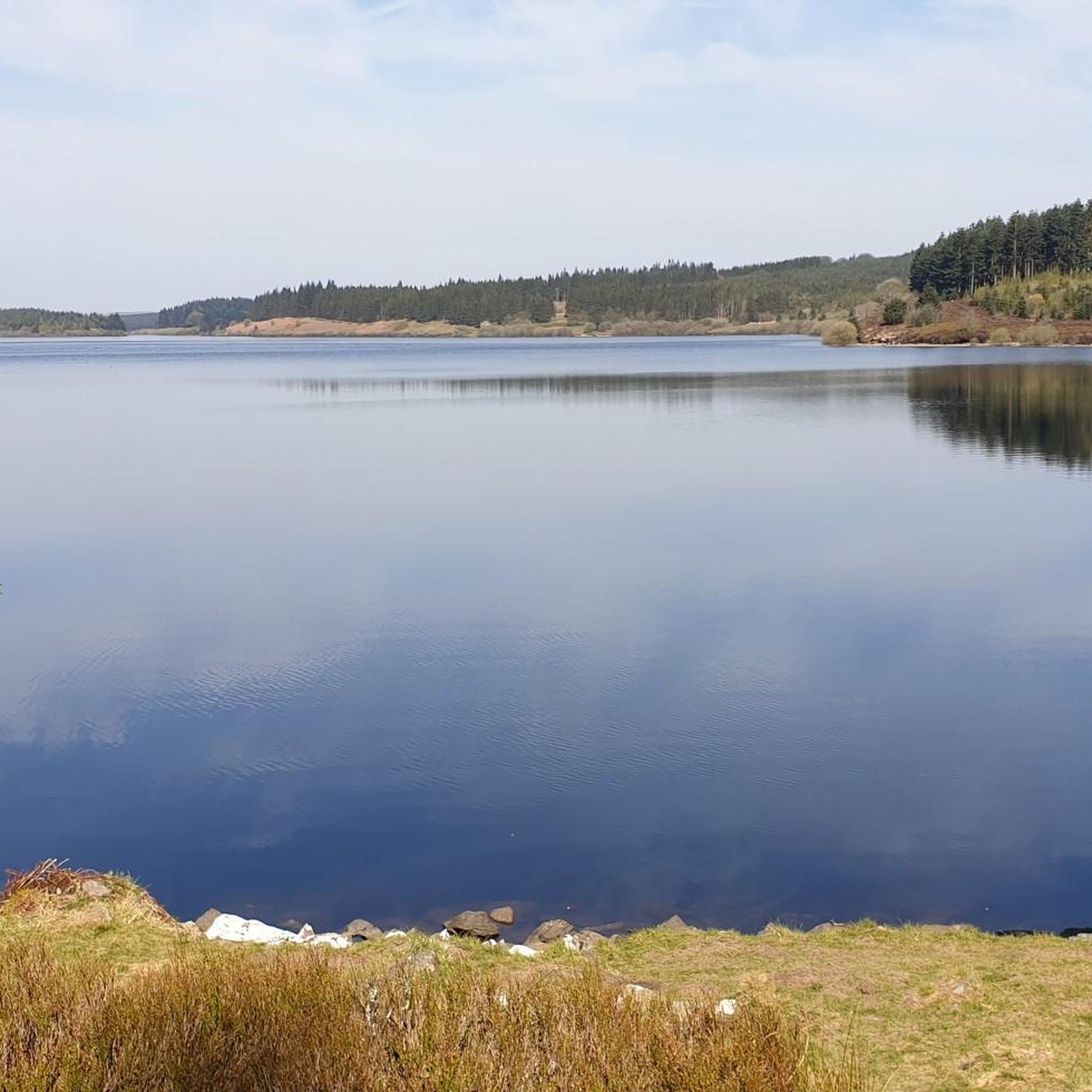
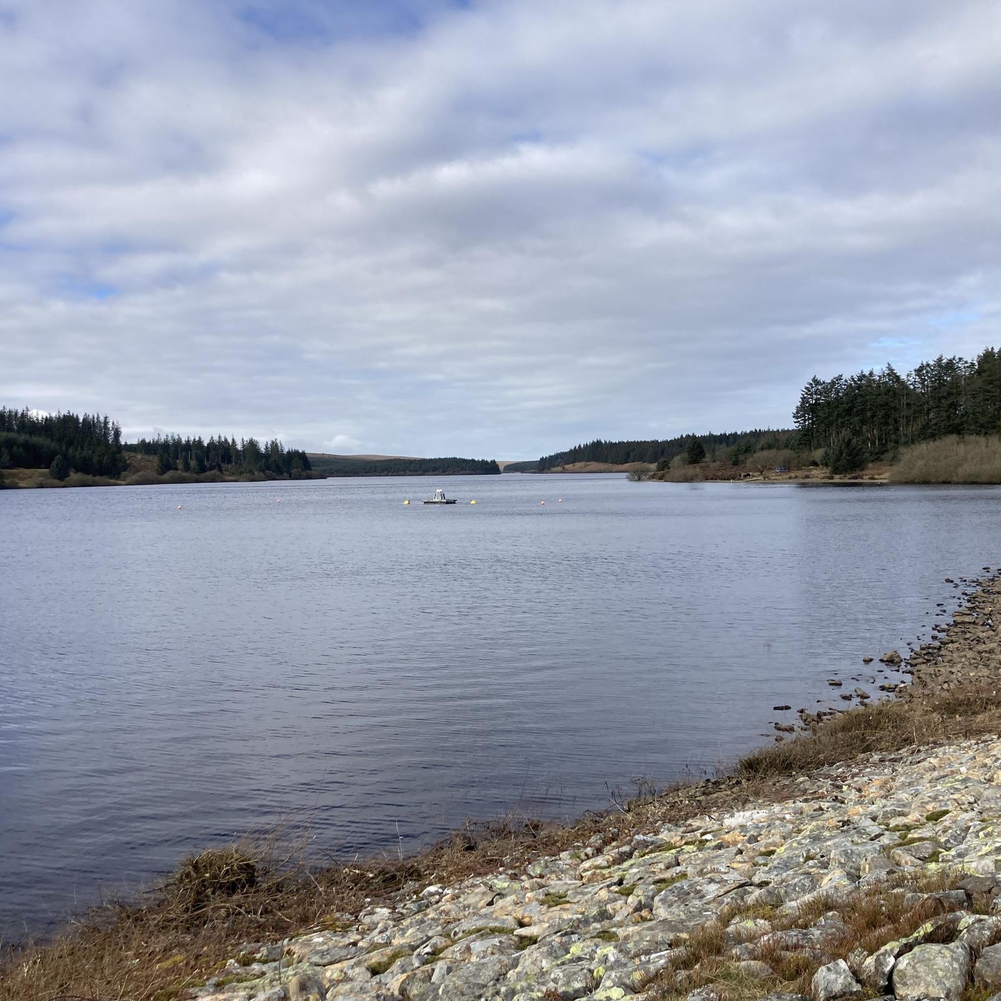
Hiking around Llangwm offers trails through varied landscapes, characterized by reservoirs, woodlands, and open moorland. The region features routes that traverse areas around the Alwen Reservoir and the town of Corwen, providing views of the surrounding hills and valleys. Hikers can expect a mix of terrain, from established paths along water bodies to more challenging ascents in higher elevations.
Best hiking trails around Llangwm
- The most popular hiking route is Alwen Reservoir Bridge – Alwen Dam loop from Alwen Dam…
Last updated: August 20, 2026
4.3
(17)
66
hikers
13.0km
04:15
610m
610m
Moderate hike. Good fitness required. Easily-accessible paths. Suitable for all skill levels.
4.6
(7)
42
hikers
14.5km
04:16
420m
420m
Moderate hike. Good fitness required. Easily-accessible paths. Suitable for all skill levels.

Sign up for free
4.5
(6)
41
hikers
14.9km
04:28
460m
460m
Moderate hike. Good fitness required. Easily-accessible paths. Suitable for all skill levels.
5.0
(3)
56
hikers
3.45km
00:55
40m
40m
Easy hike. Great for any fitness level. Easily-accessible paths. Suitable for all skill levels.
4.0
(1)
17
hikers
Hard hike. Very good fitness required. Easily-accessible paths. Suitable for all skill levels.
Get access to more routes and recommendations from other explorers.
Sign up for free
Already have an account?
Our route recommendations are based on thousands of hikes, rides, and runs completed by other people on komoot.
Start today with a free account
Your next adventure awaits.
Login or Signup

Tips from the Community


The loop from Llandrillo going anticlockwise is very steady and pleasant. But be prepared for substantial bog trotting in the central part of the valley passing the area marked as Gwern Wynodl. Even with newish goretex boots, we came away with wet feet. Good boots and gaiters, or wellies for that section highly recommended. Return section (first section if doing it clockwise) is also pretty boggy in parts. It also seemed like a bit more of a slog doing it clockwise.
0
0

The track from the East is broken but doable on a gravel bike - I had to push the last few hundred metres. Awkward terrain - large stones - and plenty of puddles - but a fabulous day on 2 wheels!
0
0

A former chapel, now stacked to the rafters with artefacts through the Ages, bringing the history of Corwen to life, ably supported by charming and knowledgeable guides.
0
0

About 5ft deep and 8ft in diameter, enough to sit and shelter from the wind. Good place to stop for coffee for 5/6 people.
0
0

Newly restored station for the heritage railway to Llangollen. Very lovingly furnished. Regular train journeys that are highly recommended.
0
0
The centre of Corwen with a good café and bakery.
0
0
A pretty little parish church
0
0
Frequently Asked Questions
How many hiking trails are available around Llangwm?
Llangwm offers a diverse network of nearly 60 hiking trails. These routes cater to various abilities, with 18 easy, 29 moderate, and 12 difficult options, ensuring there's a path for every hiker.
Are there any easy, family-friendly walks in Llangwm?
Yes, Llangwm has 18 easy trails suitable for families. The region's landscapes, characterized by rolling farmland and woodlands, offer gentle paths. While specific family-friendly routes aren't detailed, many of the easier trails along the Cleddau Estuary or through areas like Benton Woods would be suitable for a leisurely family outing.
What kind of landscapes can I expect to see while hiking near Llangwm?
Hiking around Llangwm immerses you in the classic Daugleddau country, featuring rolling farmland, ancient woodlands, and panoramic views over the Cleddau Estuary. You'll find diverse terrain, from established paths along reservoirs like Alwen to more challenging ascents in higher elevations, offering a mix of water views, forests, and open countryside.
Are there any circular walks available in the Llangwm area?
Yes, many routes around Llangwm are designed as circular walks. For example, the Alwen Reservoir Bridge – Alwen Dam loop from Alwen Dam is a moderate 14.2 km circular trail offering expansive water views. Another option is the Corwen Reservoir – Corwen Town Square loop from Cynwyd, a 14.3 km moderate path through woodlands and open countryside.
What do other hikers enjoy most about the trails in Llangwm?
The hiking trails in Llangwm are highly rated by the komoot community, with an average score of 4.4 stars from over 165 reviews. Hikers often praise the varied terrain, from reservoir paths and forested sections to open hill climbs, and the beautiful views of the surrounding hills and valleys.
Can I find trails that offer views of significant natural features or landmarks?
Absolutely. Many trails provide views of the Cleddau Estuary, a crucial natural feature attracting diverse birdlife. You can also find routes that lead to or offer views of highlights such as Alwen Dam, Llyn Tegid (Lake Bala), and the River Dee and Stone Bridge. The Ruins of an Old Farm Building – Carnedd y Filiast Summit loop from Y Frongoch offers mountainous terrain with expansive vistas.
Are there any trails suitable for more experienced hikers looking for a challenge?
Yes, for experienced hikers, there are 12 difficult trails around Llangwm. A notable challenging route is the Ruins of an Old Farm Building – Carnedd y Filiast Summit loop from Y Frongoch. This 18.3 km trail leads through mountainous terrain and typically takes about 5 hours 35 minutes to complete, offering significant elevation gain.
What kind of wildlife can I expect to see on the trails?
The Cleddau Estuary is a prime spot for birdwatching, attracting a variety of wading birds such as redshank and curlew. Along the water's edge, you might also spot otters. The ancient woodlands and diverse landscapes provide habitats for various other wildlife, making many walks excellent for nature observation.
Are there any trails that pass by reservoirs or significant water bodies?
Yes, the Llangwm area is characterized by its reservoir paths. The Alwen Reservoir Bridge – Alwen Dam loop from Alwen Dam and the shorter Alwen Dam – Alwen Reservoir loop from Alwen Dam both follow the shores of Alwen Reservoir, providing beautiful water views. The Corwen Reservoir – Corwen Town Square loop from Cynwyd also features a reservoir.
What are some interesting historical or cultural sites near Llangwm that I can explore?
Llangwm itself has a rich fishing heritage, with names like Black Tar and Blacktar Point reflecting its past as a significant herring port. While hiking, you might encounter historical sites such as the Wayfarer Memorial Traverse or the ruins of old farm buildings, offering glimpses into the region's history.
Are there any shorter, moderate trails for a quick hike?
Yes, if you're looking for a moderate hike that's not too long, consider the Alwen Dam – Alwen Reservoir loop from Alwen Dam. This trail is 8.2 km long and typically takes around 2 hours 11 minutes to complete, offering a pleasant experience along the reservoir.
Most popular attractions around Llangwm

Get inspired with the komoot mobile app


Explore more
Browse the best Hikes in other regions.
