Top 7 Mountain Passes around Waunfawr
Mountain passes around Waunfawr are situated within the Gwyrfai Valley, a glaciated U-shaped valley offering views of surrounding mountains like Mynydd Mawr and Moel Eilio. The area serves as a base for exploring Eryri (Snowdonia) National Park, providing access to numerous hiking and trekking opportunities. Waunfawr itself is a village surrounded by mountainous terrain, featuring both road sections and hiking passes. The region is characterized by its natural beauty, historical significance, and diverse landscapes.
Best mountain passes around Waunfawr
- The…
Last updated: October 13, 2026
Bwlch Glas Pass
Highlight • Natural Monument
Tip by

Llanberis Pass – Pen-y-Pass Climb
Highlight (Segment) • Climb
Tip by
Sign up now to discover places like this
Get recommendations on the best single tracks, peaks, & plenty of other exciting outdoor places.
Telegraph Valley (Maesgwm)
Highlight (Segment) • Trail
Tip by
Pen-y-Pass Ascent from Nant Gwynant
Highlight (Segment) • Viewpoint
Translated by Google •
Tip by

Bwlch Main: Junction of Watkin Path and Rhyd Ddu Path
Highlight • Viewpoint
Translated by Google •
Tip by

Sign up for free to discover even more mountain passes around Waunfawr.
Already have an account?
Start today with a free account
Your next adventure awaits.
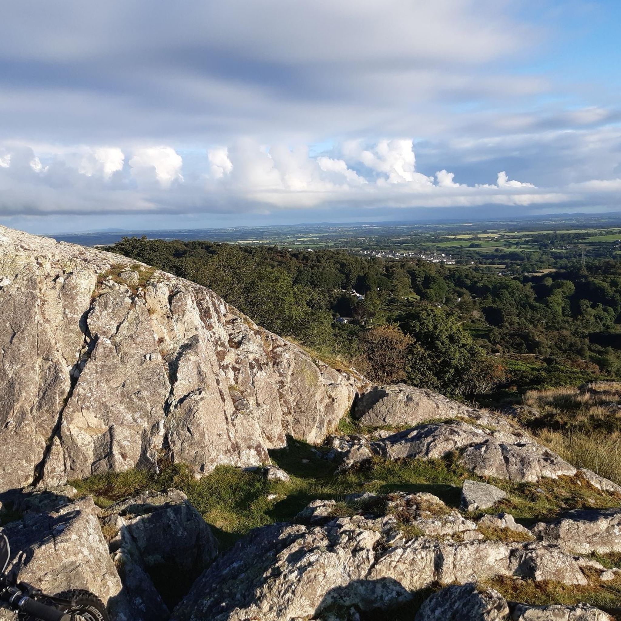
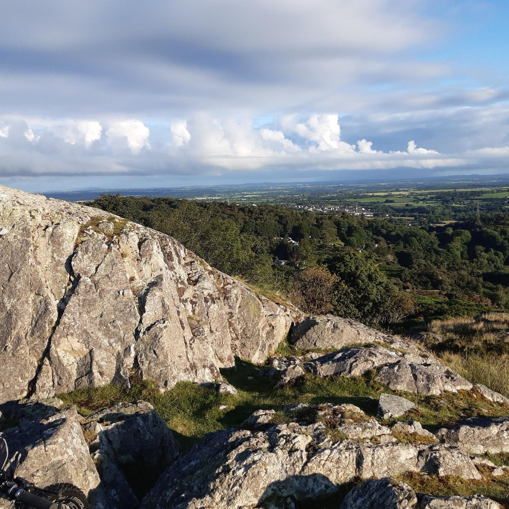
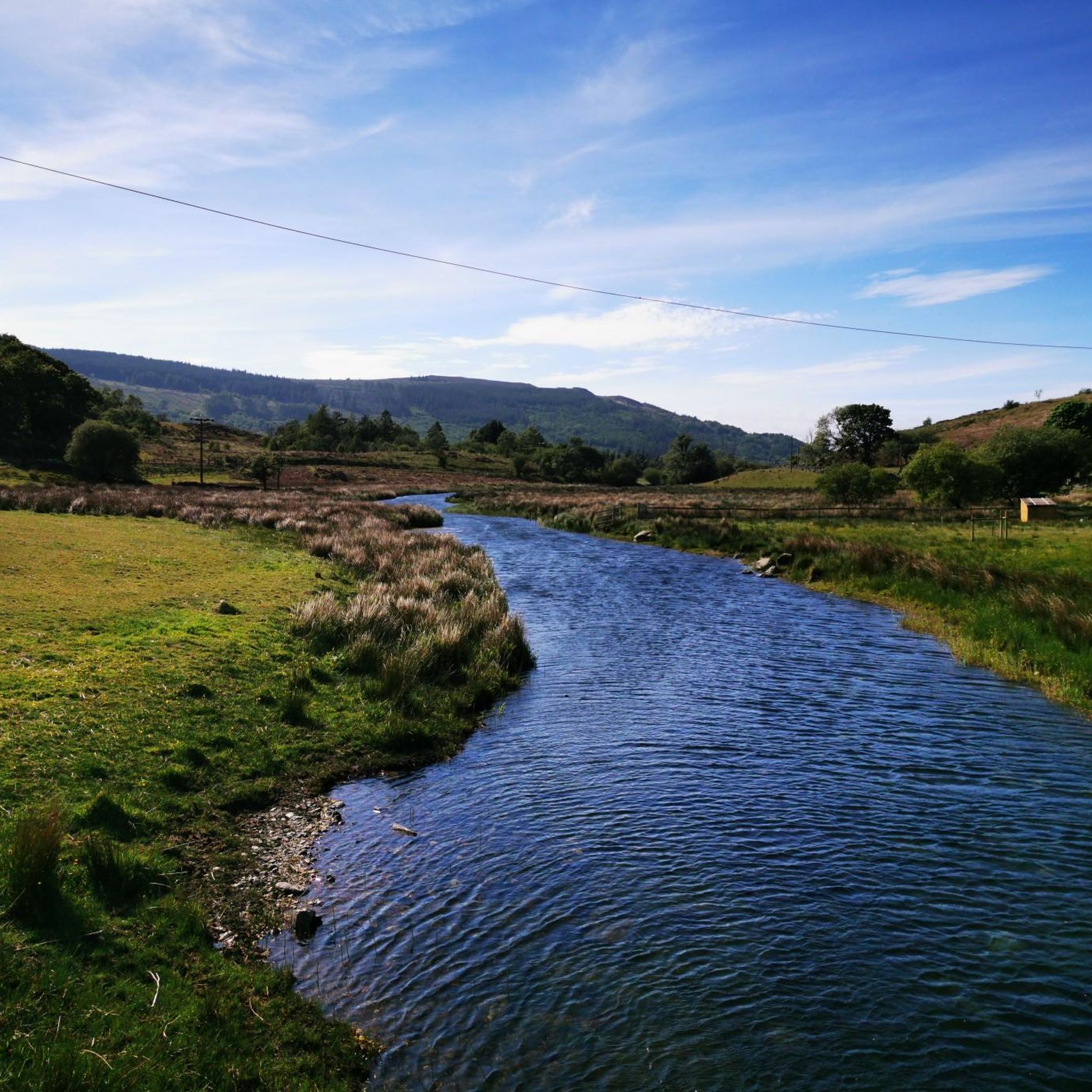
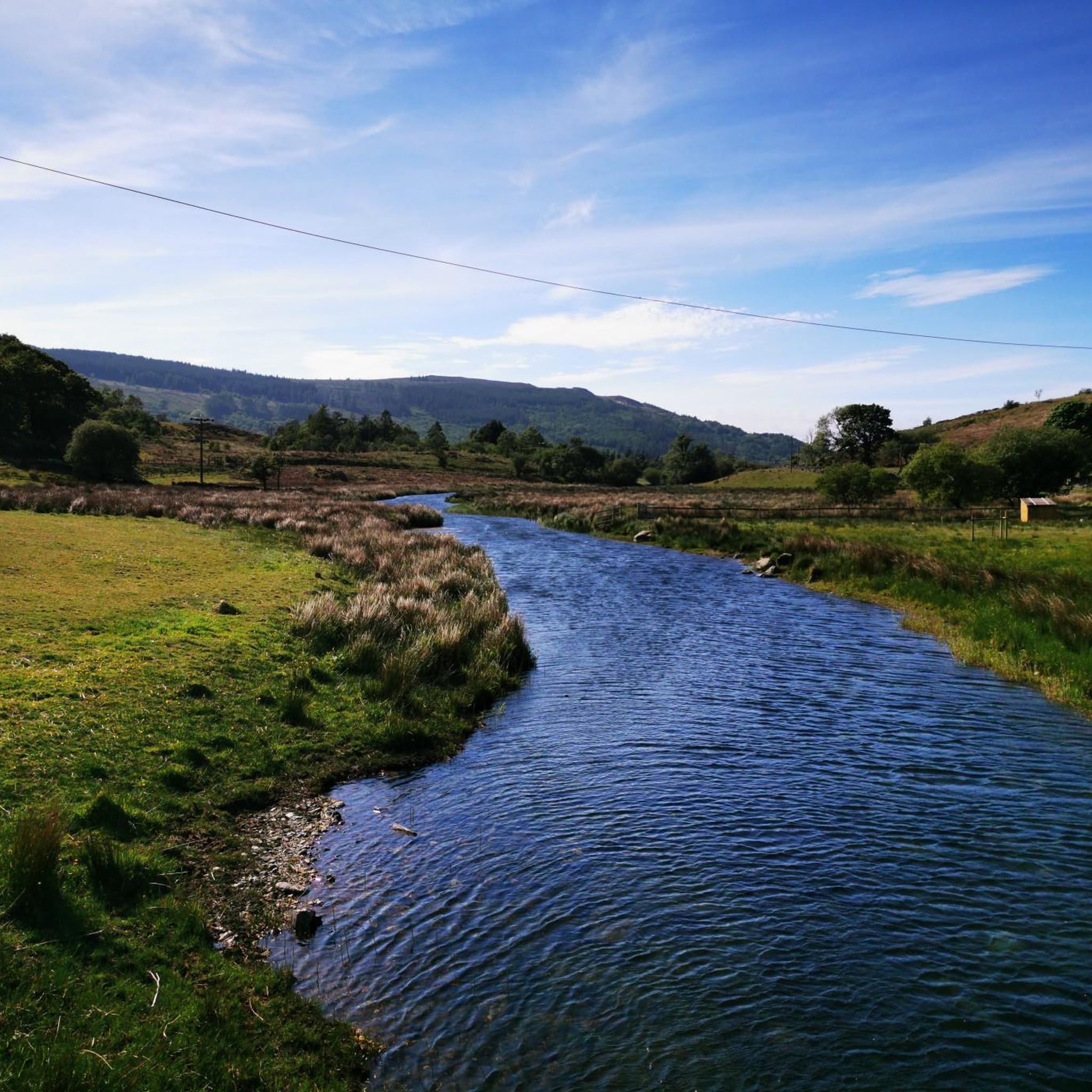
Tips from the Community

A very good path - good enough for cycling - from Bwlch Maesgwm to the road above Llanberis. It is a beautiful valley with a feeling a remoteness.
0
0

Beautiful hike, too bad it was cloudy at the top. 12.3 km isn't the actual distance you'll be hiking: it's definitely 10 km more because you can't walk a straight line on this path. It's very busy on this trail; there's a queue to reach the top.
0
0

Crazy hiking all the way up and then seeing a train pass you on the final section!
0
0

This side of Snowdon is so much quieter😉
0
0

Nice steady climb from the Beddgelert side, kicks up in a couple of sections but nothing too stressful. Well worth a visit
0
0
Great piece of road with dramatic views, a speedy descent toward Llanberis
0
0

Great road surface great climb one of the greatest climbs I've been on. Fast descent worth the views
1
0
Frequently Asked Questions
What are the main types of mountain passes found around Waunfawr?
The Waunfawr area features a variety of mountain passes, including high-altitude road summits, challenging hiking passes, and mountain ridges. These range from scenic road sections like those along the A4085 in the Gwyrfai Valley to exposed hiking trails such as Bwlch Main Ridge.
Are there any family-friendly mountain passes or routes suitable for beginners?
Yes, some areas are suitable for families. For example, Pen-y-Pass is a popular starting point for various routes, some of which can be adapted for different skill levels. The Lôn Gwyrfai, a cycling and walking route through the Gwyrfai Valley, also offers a more gentle experience. For easy hikes, you can explore options like the 'View of Mynydd Mawr – Forest Trail Near Llanberis loop from Waunfawr' which is listed in the Easy hikes around Waunfawr guide.
What natural features can I expect to see when exploring the mountain passes?
The region is rich in natural beauty. You'll encounter glaciated U-shaped valleys like the Gwyrfai Valley, rivers such as the Afon Gwyrfai, and lakes including Llyn y Gader and Llyn Cwellyn. There are also impressive views of surrounding mountains like Mynydd Mawr, Moel Eilio, and distant glimpses of Snowdon. Dramatic gorges, like the Aberglaslyn Pass, offer striking peaks and lush foliage.
What historical or cultural sites are associated with the mountain passes near Waunfawr?
The area has historical significance, particularly related to slate mining, with remnants visible in the Gwyrfai Valley. The narrow pass at Betws Garmon, hemmed in by stone walls, suggests an ancient and historically significant route. Additionally, the Pen-y-Pass youth hostel has a rich mountaineering heritage, famously associated with George Mallory.
What outdoor activities can I do near these mountain passes?
The mountain passes around Waunfawr serve as excellent bases for various outdoor activities. You can enjoy extensive hiking and trekking, with popular starting points like Pen-y-Pass for routes up Yr Wyddfa (Snowdon). Cycling is also popular, with routes like Telegraph Valley (Maesgwm) offering quieter alternatives. For more specific routes, check out the MTB Trails around Waunfawr and Cycling around Waunfawr guides.
Where do multiple hiking paths converge on Snowdon?
Multiple hiking paths converge at Bwlch Glas Pass on Yr Wyddfa (Snowdon). This is the point where hikers on the Snowdon Ranger, Llanberis Path, Pyg Track, Miners' Track, and those coming over Crib Goch and Garnedd Ugain all meet. A finger stone is present to aid navigation, especially in poor visibility.
Is there a challenging ridge walk in the area?
Yes, the Bwlch Main Ridge offers a challenging experience. It is a narrow, exposed ridge with steep slopes on either side, requiring careful navigation. While not as long as some other famous ridges, it can be intimidating in windy or winter conditions.
What is the parking situation like for popular mountain passes?
For popular starting points like Pen-y-Pass, parking requires online booking and payment. As of April 8th, a standard charge of £10 applies for any length of stay. It's advisable to book in advance, as there may be no signal on-site for non-bookers.
Can I find a quieter cycling or walking route away from the main paths?
Yes, Telegraph Valley (Maesgwm) offers a quieter alternative for cycling and walking. This well-made gravel trail provides impressive views between Foel Goch and Moel Cynghorion and is much less crowded than the main Llanberis path.
What is the Pen-y-Pass Ascent from Nant Gwynant like?
The Pen-y-Pass Ascent from Nant Gwynant is considered one of Wales's iconic climbs. It's an intermediate trail that climbs gently for approximately 6km from Nant Gwynant to the summit of Pen-y-Pass, offering fantastic views along the route. Be aware that wind can significantly impact both the ascent and descent.
What is the Gwyrfai Valley known for?
The Gwyrfai Valley, where Waunfawr is situated, is a glaciated U-shaped valley known for its picturesque landscapes. It features the Afon Gwyrfai river, Llyn y Gader, and Llyn Cwellyn, offering views of mountains like Mynydd Mawr and Moel Eilio. It's also home to the Lôn Gwyrfai, a cycling and walking route, and has historical remnants of slate mining.
Is there a scenic gorge pass further south from Waunfawr?
Yes, further south from Waunfawr, beyond Beddgelert, lies the scenic Aberglaslyn Pass (Bwlch Aberglaslyn). This narrow gorge is renowned for its dramatic landscapes, where the Afon Glaslyn river tumbles through. It features striking peaks, lush foliage, and the popular Fisherman's Path for walking. The Welsh Highland Railway also runs through this pass.
Most popular attractions around Waunfawr

Get inspired with the komoot mobile app


Explore more
See even more epic mountain passes by checking out these guides around Waunfawr:
