The best road cycling routes around Llanfaelog
4.5
(50)
1,809
riders
27
rides
Road cycling routes around Llanfaelog, located on Anglesey, offer diverse landscapes for cyclists. The island features generally low-lying terrain punctuated by gentle hills, providing varied routes suitable for different abilities. The region is characterized by its extensive coastline with sandy beaches and dramatic cliffs, as well as tranquil inland areas like the Llyn Cefni Reservoir and Newborough Forest. Road quality is often good, with quiet lanes enhancing the cycling experience.
Best road cycling routes around Llanfaelog
- The most popular road…
Last updated: July 8, 2026
4.7
(3)
175
riders
55.8km
02:23
340m
340m
Moderate road ride. Good fitness required. Some segments of this route may be unpaved and difficult to ride.
28
riders
41.8km
02:10
300m
300m
Moderate road ride. Good fitness required. Some segments of this route may be unpaved and difficult to ride.

Sign up for free
22
riders
22.9km
01:01
170m
170m
Easy road ride. Great for any fitness level. Mostly well-paved surfaces and easy to ride.
5.0
(1)
17
riders
28.8km
01:15
230m
230m
Easy road ride. Great for any fitness level. Mostly well-paved surfaces and easy to ride.
5.0
(1)
17
riders
26.9km
01:10
210m
210m
Easy road ride. Great for any fitness level. Mostly well-paved surfaces and easy to ride.
Get access to more routes and recommendations from other explorers.
Sign up for free
Already have an account?
Our route recommendations are based on thousands of hikes, rides, and runs completed by other people on komoot.
Start today with a free account
Your next adventure awaits.
Login or Signup
Tips from the Community

For its natural beauty and easy access. This route is perfect for both novice and more experienced cyclists. A well designed cycle lane separates motorists, pedestrians and cyclists.
0
0

Bethel is a very small village with only a couple of shops a church called (Capel Bethel Chapel) and only 2 pubs. I found one little premier shop for water.
3
0
Ffynnon y Wrach is virtually impossible to miss, a strange alien structure at the very side of the road beneath Holyhead Mountain as you ride up towards South Stack. An octagonal brick tower beneath a hemispherical rusted metal dome. Ffynnon y Wrach is generally translated as the Witches Well. The name dates back into antiquity the earliest date I have found of a written record being 1733; but there is no knowledge of the witch or witches to which its name might refer.
3
0
Fantastic views of the area and a good camping site set in 18 acres with panoramic views of the stunning Holy Island coast line, nearby beaches, coastal trails and wildlife spots, Blackthorn Farm is perfect for camping or caravaning. And with road, rail and ferry services within a 3 mile radius, it is the ideal base to explore Anglesey and North Wales. I wonderful base camp for cyclists
3
0
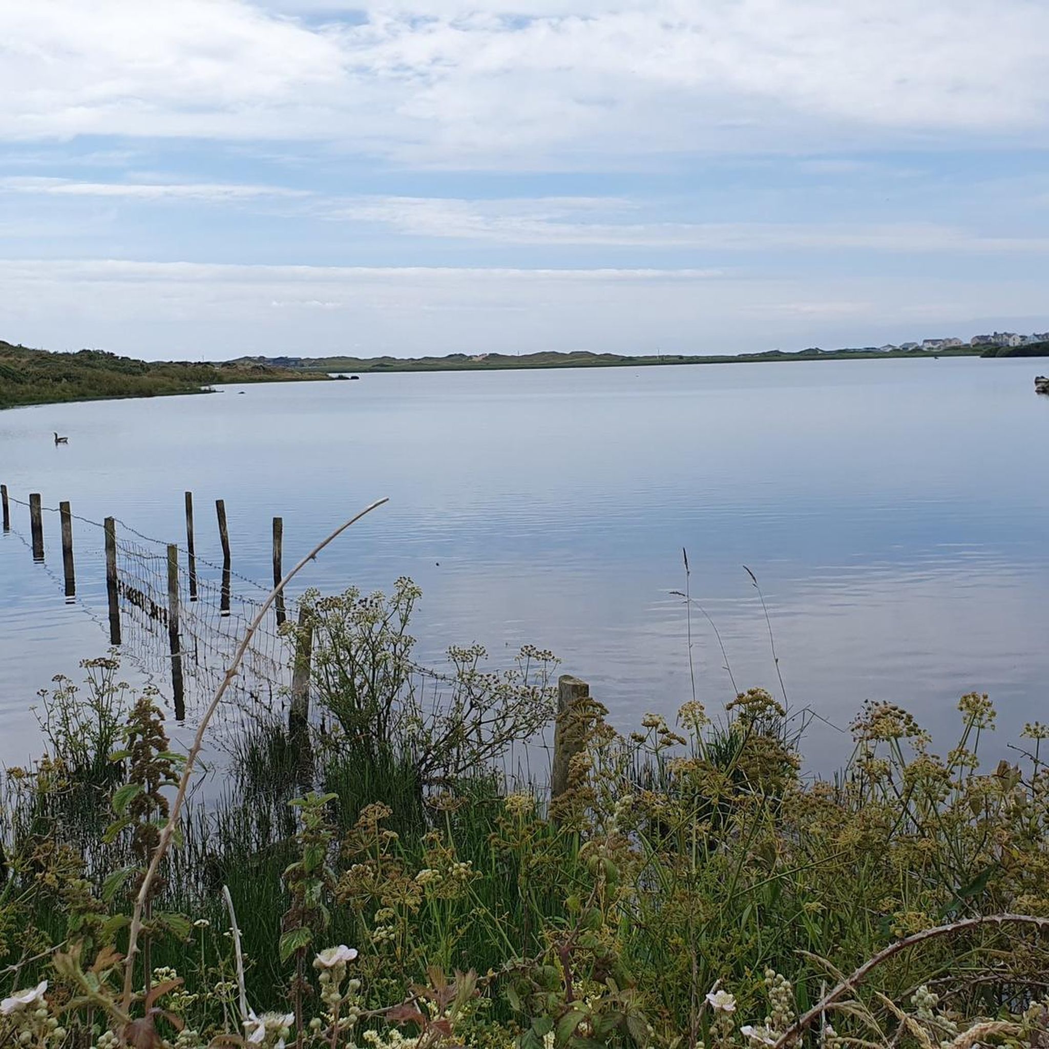
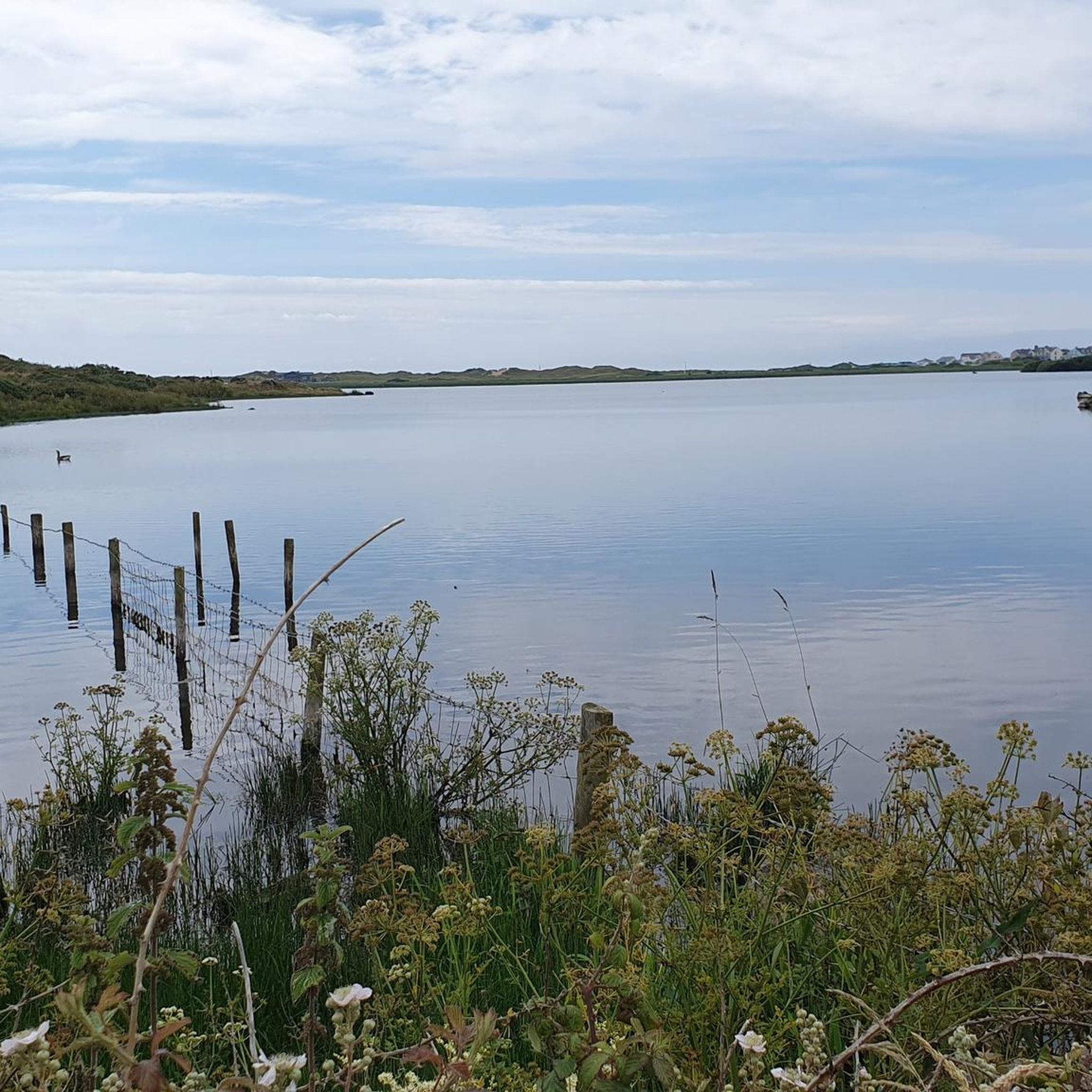
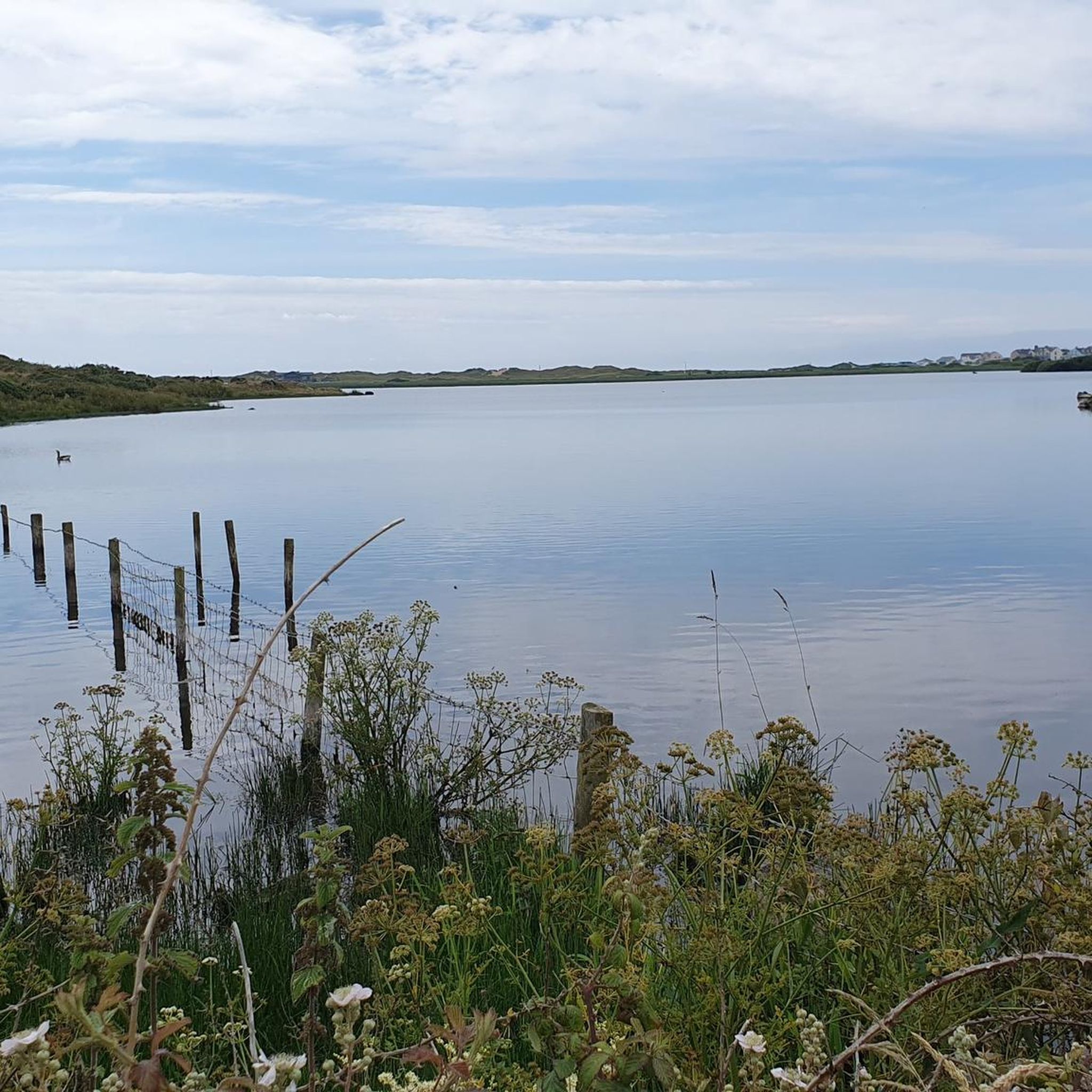
Malltraeth Cob Malltraeth is the next village along from Newborough to the north. The two villages are linked by a “cob” – a dike wall – with a footpath/cycle track along its top. The cob was completed in the early 19th Century, under the direction of Thomas Telford and John Rennie. At the same time, the Afon Cefni was straightened (and straitened) creating what looks like a canal, but is still tidal. This created nearly 1,600ha of grazing land on either side of the Cefni. Much of this land is now a nature reserve managed by the RSPB. Also you will see Llyn Parc Mawr Community Woodland where they have picnic areas where you can enjoyed the red squirrels. It is off road but I used my gatorskins and it was fine.
3
0
The Stanley embankment is known locally as The Cob, it joins Anglesey to Holy island. The cob is basically the old A5 road and rail link to Holyhead. When travelling on the newer A55 to Holyhead it can be seen to the right as you cross the inland sea. The Cob creates a pinch point where the vast tidal forces push the water through at high tide. At low tide it a vast expanse almost devoid of water.
3
0
It's marking a link which saw Holyhead play host to Dutch sailors at the start of the first world war. The soldiers came to the town after escaping the Nazi advance in 1940 The commemoration will see a Dutch Navy ship sail in to Holyhead harbour and a flypast by RAF jets.
5
0
The bridge itself takes the same name as the village it is situated in and is one of three bridges connecting Holy Island and Anglesey. The bridge is approximately four miles (6.5 km) from Holyhead via the old road route, giving it, and the village, its name. A bridge at this location was in existence by 1530, and was the only land route to Holyhead until the construction of the Stanley Embankment in 1823. It is 120 metres (390 ft) long and carries the B4545 road over the Cymyran strait. I think the crossing over the water is about 5km
5
0
Frequently Asked Questions
What kind of terrain can I expect when road cycling around Llanfaelog?
Llanfaelog, situated on Anglesey, offers a diverse landscape for road cyclists. The island is generally low-lying with gentle hills, providing varied routes suitable for different abilities. You'll encounter stunning coastal scenery with sandy beaches and dramatic cliffs, as well as tranquil inland areas like the Llyn Cefni Reservoir and Newborough Forest. The roads are often noted for their good quality and quiet lanes, enhancing the cycling experience.
How many road cycling routes are available in the Llanfaelog area?
There are 28 road cycling routes around Llanfaelog documented on komoot. These routes cater to various skill levels, with 12 easy, 15 moderate, and 1 difficult route to explore.
Are there any family-friendly road cycling routes near Llanfaelog?
Yes, Llanfaelog offers several family-friendly road cycling options. Many routes feature quiet lanes and gentle gradients. For example, the Bethel Village – Porth Trecastell Beach loop from Rhosneigr is an easy 14.2-mile (22.9 km) trail that takes about an hour to complete, leading through coastal areas and villages. Another easy option is the Porth Trecastell Beach – Cob Pool and White Horses loop from Rhosneigr, which is 17.9 miles (28.8 km) long.
What are some notable landmarks or points of interest I can see while cycling?
While cycling around Llanfaelog, you can encounter several interesting landmarks. The Llyn Cefni Reservoir and Dam is a significant inland feature. You might also cross the historic Stone bridge over the River Cefni or see the Four Mile Bridge, connecting Holy Island to Anglesey. The Stanley Embankment (The Cob) also offers a unique cycling path.
Are there any challenging road cycling routes for experienced riders?
While Anglesey is generally low-lying, there is one difficult road cycling route around Llanfaelog for those seeking a greater challenge. The majority of routes are easy to moderate, offering enough elevation to provide a good workout without excessive major climbs. The Trearddur Bay Beach – Porth Dafarch Beach loop from Rhosneigr, for example, is a moderate 34.5-mile (55.6 km) route with over 340 meters of elevation gain.
What is the best time of year to go road cycling in Llanfaelog?
Anglesey's coastal climate means road cycling can be enjoyed for much of the year. Spring and summer generally offer the most pleasant weather with longer daylight hours. However, the quiet lanes and diverse scenery make it appealing even in milder autumn and winter conditions, though you should always check local weather forecasts.
Are there any circular road cycling routes available?
Yes, many of the road cycling routes around Llanfaelog are designed as loops, allowing you to start and finish at the same point. For instance, the Stone bridge over the River Cefni – Porth Trecastell Beach loop from Rhosneigr is an easy 22.7-mile (36.5 km) circular route.
What do other road cyclists think about the routes in Llanfaelog?
The road cycling routes in Llanfaelog are highly regarded by the komoot community, with an average score of 4.5 stars from over 20 reviews. Cyclists often praise the varied terrain, from coastal paths to quiet inland lanes, and the overall enjoyable experience of exploring Anglesey by bike.
Can I access road cycling routes using public transport?
Anglesey has a public transport network, including bus services, which can help with access to various parts of the island. While specific routes may vary, planning your journey in advance and checking local bus routes that accommodate bicycles or drop off near cycling starting points is advisable. Some routes, like the Lon Las Cefni, are easily accessible from towns.
Where can I find parking for road cycling trails in Llanfaelog?
Parking availability will vary depending on your chosen starting point. Many villages and towns around Llanfaelog and Anglesey offer public parking facilities. For routes that start from specific locations like Rhosneigr, there are often designated parking areas. It's recommended to check parking options for your specific route before you set off.
Are there any specific long-distance cycleways in the region?
Yes, Anglesey features notable cycleways. The Lon Las Cefni Scenic Cycleway is an 8-mile, picturesque, and relatively easy route, much of which is traffic-free along a former railway line. The Trywydd Copr (Copper Trail) also offers a magnificent ride through nature, which can be enjoyed as a longer trip or in segments.
What are the typical distances of road cycling routes around Llanfaelog?
The road cycling routes around Llanfaelog vary significantly in length. You can find shorter, easy loops like the Bethel Village – Porth Trecastell Beach loop from Rhosneigr at 14.2 miles (22.9 km), up to longer, moderate routes such as the Trearddur Bay Beach – Porth Dafarch Beach loop from Rhosneigr, which spans 34.5 miles (55.6 km).
Most popular routes around Llanfaelog
Most popular attractions around Llanfaelog

Get inspired with the komoot mobile app


Explore more
Browse the best Road cycling routes in other regions.
