The best road cycling routes around Thropton
4.0
(5)
457
riders
42
rides
Road cycling routes around Thropton are situated on the edge of Northumberland National Park, offering diverse terrain for cyclists. The region features challenging hills, including the Simonside Hills, and serene river valleys formed by the River Coquet and Wreigh Burn. This area provides access to quiet roads and varied topography, suitable for different road cycling experiences.
Best road cycling routes around Thropton
- The most popular road cycling route is Elsdon and Netherwitton loop from Rothbury, a 43.1 miles (69.3 km) trail that takes 3 hours 19 minutes to complete. This difficult route features significant elevation gains through the Northumberland landscape.
- Another top favourite among local road cyclists is Cragpit Hill & Winter's Gibbet loop from Rothbury, a difficult 47.4 miles (76.3 km) path. This route includes substantial climbing and offers views across the region's varied terrain.
- Local road cyclists also love the Otterburn & Bellingham loop from Rothbury, a 53.9 miles (86.8 km) trail leading through the expansive countryside, often completed in about 4 hours 33 minutes.
- Road cycling around Thropton is defined by challenging hills like the Simonside Hills, picturesque river valleys, and access to the Northumberland National Park. The network offers options for different ability levels, from moderate rides to difficult ascents.
- The routes in Thropton are highly rated by the komoot community with an average score of 4.0 stars. More than 400 road cyclists have used komoot to explore Thropton's varied terrain.
Last updated: July 12, 2026
18
riders
69.3km
03:19
970m
970m
This difficult 43.1-mile road cycling loop from Rothbury in Northumberland National Park offers stunning views and significant elevation gai
4
riders
76.3km
03:58
1,180m
1,180m
This challenging 47.4-mile road cycling loop from Rothbury tackles Cragpit Hill and Winter's Gibbet, offering panoramic Northumberland views

Sign up for free
86.8km
04:33
1,150m
1,150m
A difficult 53.9-mile road cycling loop from Rothbury through Northumberland National Park, featuring 3772 feet of elevation gain.
83
riders
45.7km
02:16
730m
730m
Moderate road ride. Good fitness required. Mostly well-paved surfaces and easy to ride.
40
riders
72.5km
04:00
1,000m
1,000m
Hard road ride. Very good fitness required. Mostly well-paved surfaces and easy to ride.
Get access to more routes and recommendations from other explorers.
Sign up for free
Already have an account?
Our route recommendations are based on thousands of hikes, rides, and runs completed by other people on komoot.
Start today with a free account
Your next adventure awaits.
Login or Signup

Tips from the Community

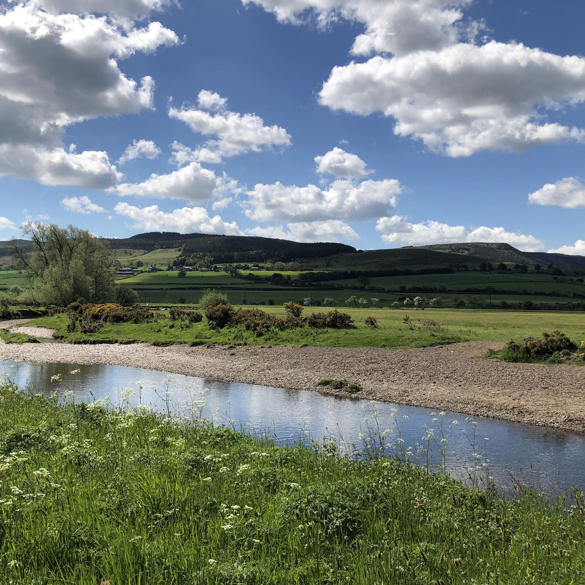
Scenic route, road surface is variable, the further up the valley, the dodgier some of the tarmac is.
0
0
The climb up at the end of the Coquet valley road is a swine. Steep and twisty but fairly short and more downhill towards Elsdon than if heading North. Great roads when they're open and you'll be unlucky to encouner a car. Bear in mind that the military sheep might not move for you !
0
0
Classic Northumberland road climb, even if it does have a descent in it. Ramp near the start in Elsdon is the hardest bit. Get lucky with a tailwind and fly down eastwards past Harwood Forest
0
0
Pretty bleak place to meet your end. If on the road, can also be pretty bleak with a rainy headwind ! Tailwind when eastward bound though is great
0
0

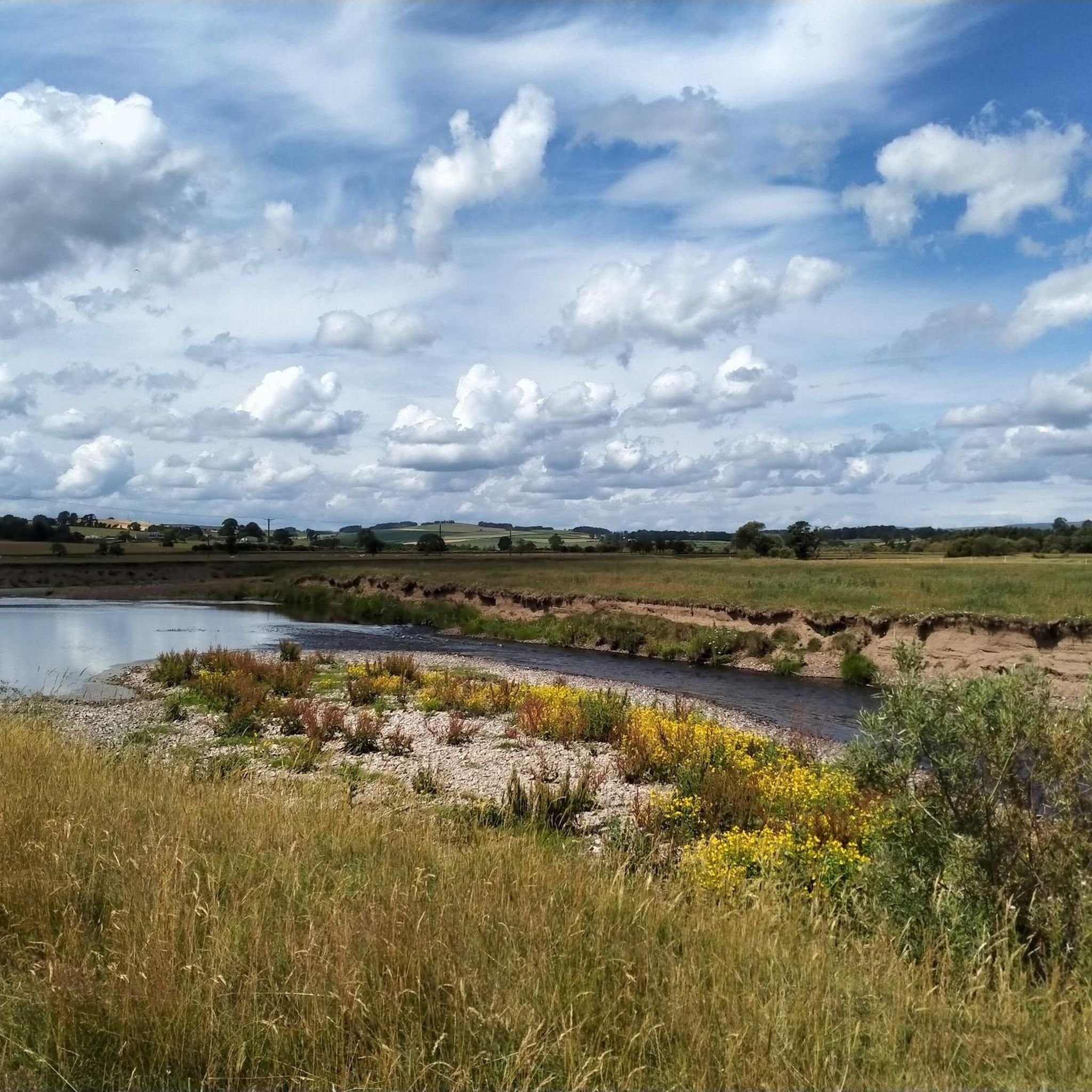
Today popular with locals and visitors: Here you will find a huge shady picnic area right by the river, next to the bridge
1
0

Frequently Asked Questions
How many road cycling routes can I find around Thropton?
There are over 40 road cycling routes available around Thropton, offering a wide range of experiences from moderate rides to challenging ascents. The area's location on the edge of Northumberland National Park ensures diverse terrain.
Are there any easy road cycling routes suitable for beginners near Thropton?
While many routes in the Thropton area feature significant elevation, there are a few easier options available. The region's river valleys, like those along the River Coquet and Wreigh Burn, often provide gentler gradients for a more relaxed ride.
What are some challenging road cycling routes for experienced riders in the Thropton area?
For experienced riders seeking a challenge, the Thropton area offers routes with substantial climbing and rewarding descents. Consider the Elsdon and Netherwitton loop from Rothbury, a difficult 69.3 km trail with nearly 970 meters of elevation gain. Another demanding option is the Cragpit Hill & Winter's Gibbet loop from Rothbury, which covers 76.3 km with over 1,180 meters of climbing, offering views across the varied terrain.
Are there long-distance road cycling routes available from Thropton?
Yes, for those looking for longer distances, the region provides expansive routes. The Otterburn & Bellingham loop from Rothbury is a notable option, stretching 86.8 km through the countryside, typically completed in about 4 hours 33 minutes.
What kind of views and natural features can I expect on road cycling routes around Thropton?
Road cycling routes around Thropton offer diverse and stunning views. You can expect panoramic vistas from challenging climbs in the Simonside Hills, including the Simonside Summit, which provides views of the Cheviot Hills and the Northumbrian coastline. Routes also often follow serene river valleys like the River Coquet, featuring picturesque waterside scenery and meadows. You might also pass by tranquil spots like Harbottle Lake.
Are there any historical sites or landmarks to see along the road cycling routes?
Yes, the area is rich in history. You can incorporate stops at historical landmarks such as the ruins of Great Tosson Tower or Tosson lime kiln, which offer fine views across the valley. The Lordenshaw Cup and Ring Marked Rock is another interesting historical site you might encounter.
What do other road cyclists enjoy most about road cycling in Thropton?
The road cycling routes around Thropton are highly rated by the komoot community, with an average score of 4.0 stars. Cyclists frequently praise the challenging hills, the stunning panoramic views from elevated points, and the quiet roads that traverse the unspoiled countryside of the Northumberland National Park.
Are there circular road cycling routes available starting from Thropton?
Many of the road cycling routes in the Thropton area are designed as loops, allowing you to start and finish in the same location. This includes popular options like the Winter's Gibbet – Winter's Gibbet loop from Rothbury, which is a moderate 45.7 km ride.
Where can I find amenities like cafes or pubs on road cycling routes near Thropton?
The nearby Rothbury Village Centre serves as a convenient hub for cyclists, offering various amenities, including cafes and pubs. Many routes pass through or near Rothbury, making it an ideal stop for refreshments and rest.
Is it possible to access road cycling routes near Thropton using public transport?
While Thropton itself is a small hamlet, public transport options to the general area might be limited. It's advisable to check local bus services to nearby towns like Rothbury, which is more accessible and serves as a common starting point for many routes. For detailed information on public transport within the wider region, you may consult the Northumberland National Park's cycling resources at northumberlandnationalpark.org.uk.
What is the best time of year for road cycling around Thropton?
The best time for road cycling around Thropton is generally during the warmer months, from late spring to early autumn. This period offers more predictable weather, longer daylight hours, and the most pleasant conditions for tackling the region's varied terrain and enjoying the panoramic views. Autumn can also be beautiful with changing foliage, but be prepared for cooler temperatures and potentially wetter conditions.
Most popular attractions around Thropton

Get inspired with the komoot mobile app


Explore more
Browse the best Road cycling routes in other regions.
