The best road cycling routes around Weston-Under-Redcastle
4.5
(23)
1,626
riders
229
rides
Road cycling routes around Weston-Under-Redcastle traverse a landscape characterized by gentle rolling hills and open countryside, dotted with historic landmarks and rural villages. The area features a network of quiet country lanes, offering varied terrain suitable for different skill levels. Road cyclists can expect to encounter a mix of agricultural land, occasional wooded sections, and views of local castles and churches.
Best road cycling routes around Weston-Under-Redcastle
- The most popular road cycling route is View of Moreton Corbet Castle –…
Last updated: July 4, 2026
2.0
(1)
30
riders
Easy road ride. Great for any fitness level. Mostly well-paved surfaces and easy to ride.
13
riders
88.0km
03:50
680m
680m
Moderate road ride. Good fitness required. Mostly well-paved surfaces and easy to ride.

Sign up for free
5.0
(1)
17
riders
44.1km
01:49
250m
250m
Easy road ride. Great for any fitness level. Mostly well-paved surfaces and easy to ride.
18
riders
42.7km
01:51
210m
210m
Easy road ride. Great for any fitness level. Mostly well-paved surfaces and easy to ride.
16
riders
43.1km
01:45
190m
190m
Easy road ride. Great for any fitness level. Mostly well-paved surfaces and easy to ride.
Get access to more routes and recommendations from other explorers.
Sign up for free
Already have an account?
Our route recommendations are based on thousands of hikes, rides, and runs completed by other people on komoot.
Start today with a free account
Your next adventure awaits.
Login or Signup
Popular around Weston-Under-Redcastle


Tips from the Community

Very Cycle friendly and does good food. Pies to die for!
0
0

The Llangollen Canal crosses the border between England and Wales. Its combination of picturesque countryside and breath-taking engineering draws visitors from far and wide.
0
0
Lots of lovely fresh bread available from Smiths Bakery in Oswestry and delicious bloomers hot cross buns. Friendly village shop and one of the oldest post offices
2
0
Lovely views of the Castle up above. I nice place for a photo.
1
0
Great little place. Helped me out with a new pedal when mine broke.
1
0

Great bike shop at the Oswestry car park where you can get your bike fixed and serviced. Good café where you can talk to fellow cyclists. They also do a weekly cycle ride from here every Sunday morning.
0
0
The River Ceiriog (Welsh: Afon Ceiriog) is an 18 miles (29 km) long river in north east Wales, whose name may derive from a term meaning "favoured one". It is a tributary of the River Dee. It rises at an altitude of around 1,800 ft (549 m) on the south east slopes of Moel Fferna in the Berwyn Mountains, and flows through the Ceiriog Valley in Wrexham County Borough. It flows below Chirk Castle and the town of Chirk, where the Chirk Aqueduct carries the Llangollen Canal, and the Chirk Viaduct carries the Shrewsbury–Chester line over the river. The Ceiriog joins the Dee east of the town. In its lower reaches, the river forms the border between Wales and Shropshire in England. Home to a trout fishing club, the river and its valley were described by British prime minister David Lloyd George as "a little bit of heaven on earth". As well as being a home to trout, the first grayling to be artificially reared in Wales were released into the river in 2009
1
0

Frequently Asked Questions
How many road cycling routes are available around Weston-Under-Redcastle?
There are over 240 road cycling routes in the Weston-Under-Redcastle area, offering a wide variety of options for different skill levels. This includes more than 130 easy routes, 100 moderate routes, and a few challenging options.
What kind of terrain can I expect on road cycling routes in Weston-Under-Redcastle?
The routes around Weston-Under-Redcastle feature gentle rolling hills and open countryside. You'll encounter quiet country lanes, a mix of agricultural land, occasional wooded sections, and views of historic castles and churches. The elevation changes are generally manageable, catering to various abilities.
Are there any easy road cycling routes suitable for beginners or families?
Yes, there are many easy routes ideal for beginners or families. An excellent option is the View of Moreton Corbet Castle – Moreton Corbet Castle loop from Stanton upon Hine Heath, which is 14.2 miles (22.9 km) long and offers scenic views of the historic Moreton Corbet Castle.
What are some longer road cycling routes for more experienced riders?
For those seeking a longer ride, the The Swan Inn, Pontfadog – View of Chirk Castle loop from Wem is a moderate 54.6 miles (87.9 km) route that takes you through open countryside with distant views of Chirk Castle. Another substantial option is the St. Mary's Church, Clive – Tower House loop from Wem, covering 48.7 miles (78.5 km).
Are there challenging road cycling routes or significant climbs in the area?
While the region is characterized by gentle rolling hills, there are a couple of routes rated as difficult for those seeking more of a challenge. These routes will feature steeper gradients and more sustained climbs compared to the easier options, though the overall elevation changes are moderate for the region.
What historical landmarks or attractions can I see along the road cycling routes?
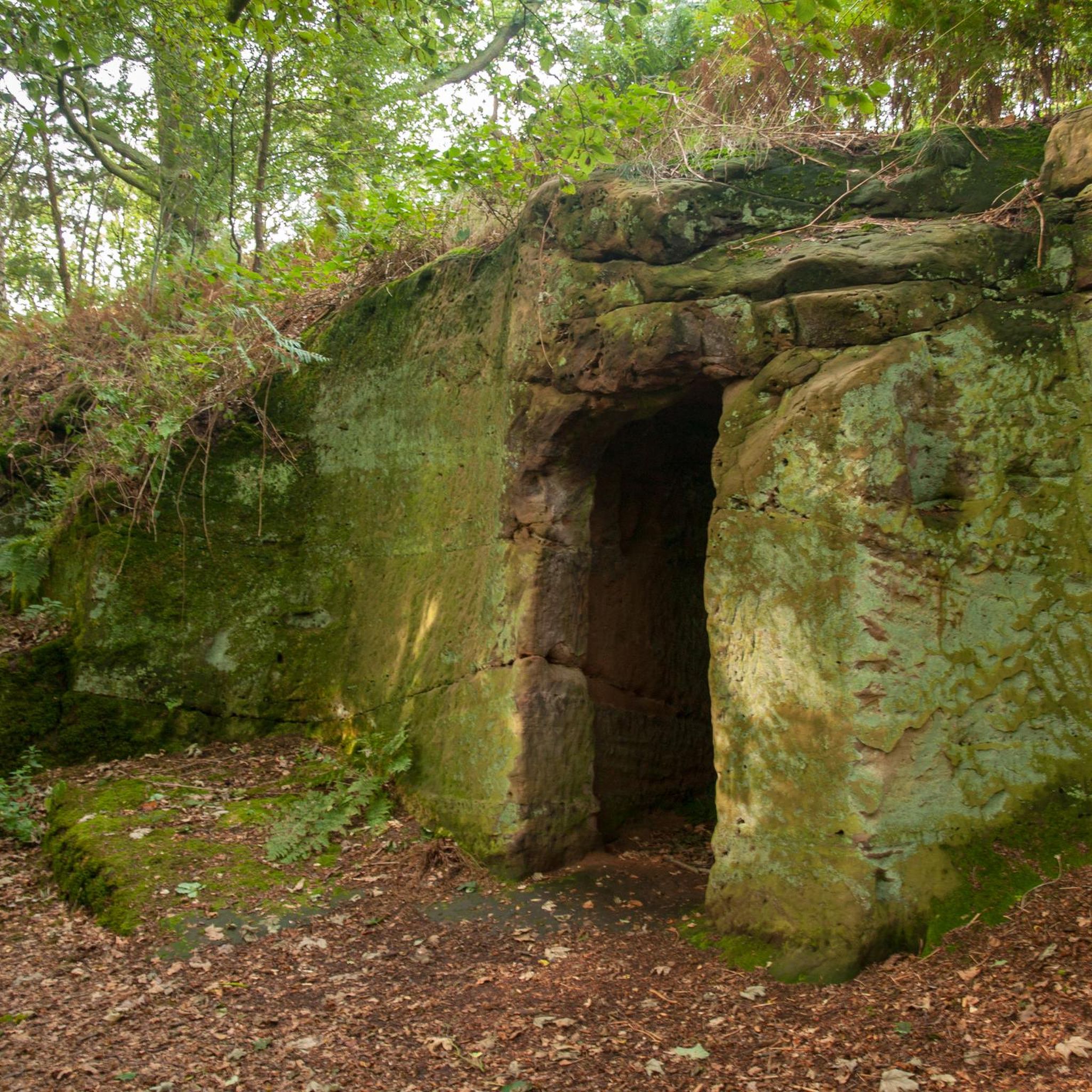
The area is rich in history. Many routes offer views of historic sites like Moreton Corbet Castle. You might also encounter other notable landmarks such as Hawkstone Obelisk (Sir Rowland Hill Monument) or The Grotto at Hawkstone Park, which are nearby attractions.
Are most road cycling routes in Weston-Under-Redcastle circular?
Yes, many of the road cycling routes around Weston-Under-Redcastle are designed as loops, allowing you to start and finish at the same point. For example, the Wem Castle – Moreton Corbet Castle loop from Wem is a popular circular route.
What do other road cyclists say about cycling in Weston-Under-Redcastle?
The road cycling routes in Weston-Under-Redcastle are highly rated by the komoot community, with an average score of 4.4 stars from over 20 reviews. Cyclists often praise the quiet rural lanes, the scenic countryside views, and the variety of routes suitable for different fitness levels.
When is the best time of year to go road cycling in Weston-Under-Redcastle?
The spring, summer, and early autumn months generally offer the most pleasant conditions for road cycling in Weston-Under-Redcastle, with milder temperatures and longer daylight hours. The gentle terrain makes it accessible for much of the year, but always check the local weather forecast before heading out.
Are there places to stop for refreshments like cafes or pubs along the routes?
Given the rural nature of the area, many routes pass through or near small villages. While specific establishments aren't listed for every route, you can often find local pubs or cafes in these villages, such as those near Wem or Stanton upon Hine Heath, which are common starting points or pass-through locations for many rides.
What is the typical elevation gain on road cycling routes in this region?
The elevation gain varies by route, but generally reflects the 'gentle rolling hills' characteristic of the region. For instance, an easy 14-mile route might have around 60 meters of elevation gain, while a longer 54-mile moderate route could involve over 670 meters of ascent, spread out over its distance.
Most popular routes around Weston-Under-Redcastle
Most popular attractions around Weston-Under-Redcastle

Get inspired with the komoot mobile app


Explore more
Browse the best Road cycling routes in other regions.
