The best walks and hikes around Hopton Cangeford
4.7
(298)
2,284
hikers
146
hikes
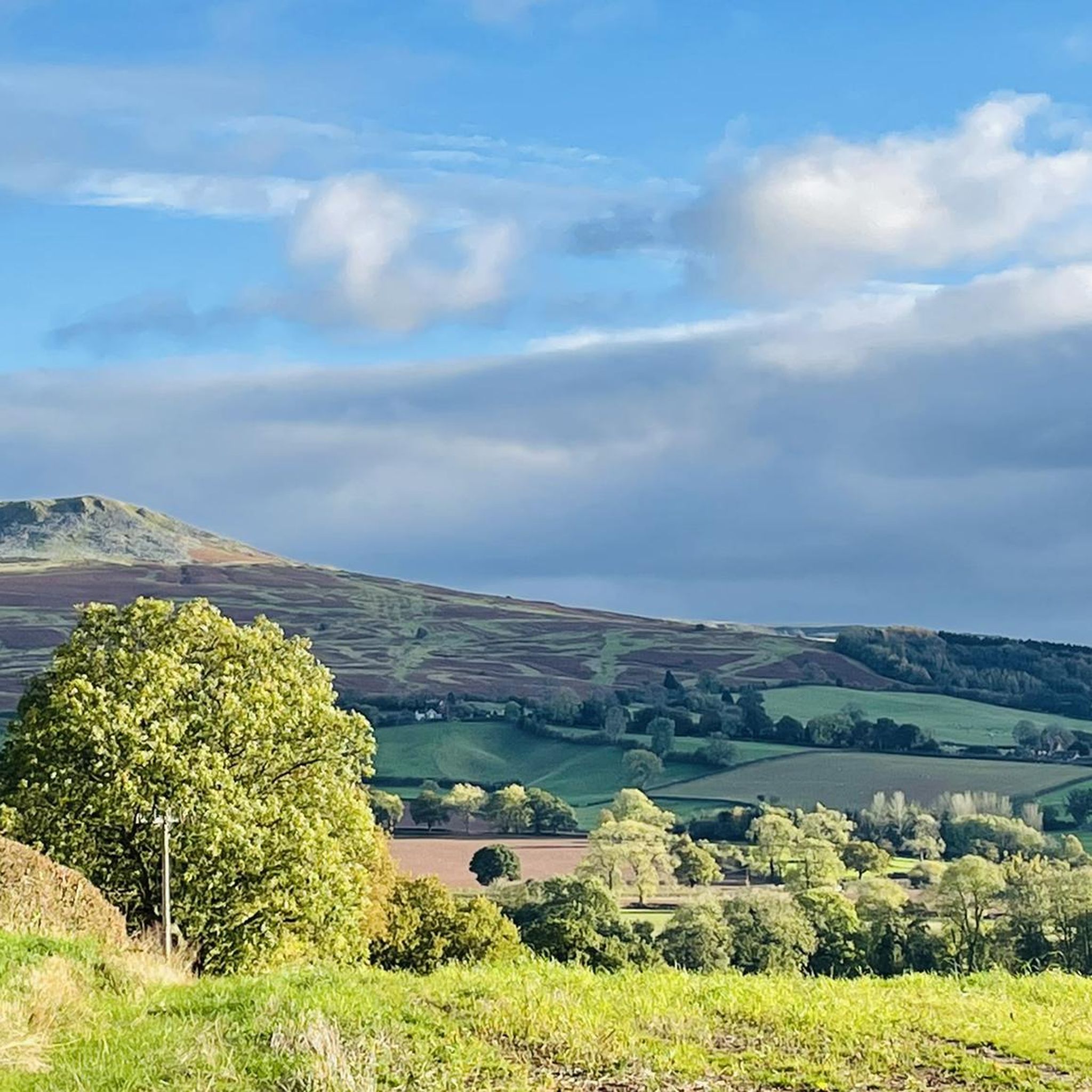
Hiking trails around Hopton Cangeford are set within a diverse landscape, characterized by rolling hills, ancient woodlands, and expansive moorland plateaus. The region benefits from its location near the Shropshire Hills Area of Outstanding Natural Beauty, offering a variety of terrains from gentle valleys to more challenging ascents. Features like the Clee Hills provide panoramic views, while Wenlock Edge offers walks through wooded scarp.
Best hiking trails around Hopton Cangeford
- The most popular hiking route is Clee Burf & Abdon…
Last updated: July 6, 2026
3.3
(4)
25
hikers
14.1km
04:04
350m
360m
Moderate hike. Good fitness required. Mostly accessible paths. Sure-footedness required.
4.0
(2)
15
hikers
17.3km
04:37
190m
190m
Moderate hike. Good fitness required. Easily-accessible paths. Suitable for all skill levels.

Sign up for free
4.8
(4)
51
hikers
11.9km
03:27
320m
320m
Moderate hike. Good fitness required. Easily-accessible paths. Suitable for all skill levels.
4.6
(5)
13
hikers
Easy hike. Great for any fitness level. Easily-accessible paths. Suitable for all skill levels.
5.0
(2)
13
hikers
Moderate hike. Good fitness required. Easily-accessible paths. Suitable for all skill levels.
Get access to more routes and recommendations from other explorers.
Sign up for free
Already have an account?
Our route recommendations are based on thousands of hikes, rides, and runs completed by other people on komoot.
Start today with a free account
Your next adventure awaits.
Login or Signup

Tips from the Community


Nice route to the Clee Hills. Parking to the north as well at the excitingly named Cockshutford
0
0

Apparently, the site of the highest coalfield in England too. Isn't Wikipedia wonderful.
0
0
There is the bracket of the original Trig Point cemented into the path that leads to the Toposcope.
0
0


The ruined buildings are not actually castle ruins but old quarry buildings built around 1907. The hill was quarried from 1908 to 1937, largely for Dhustone. This hard, durable, almost black stone was used in building and for making tram line setts.
0
0
Frequently Asked Questions
How many hiking trails are available around Hopton Cangeford?
There are over 140 hiking routes around Hopton Cangeford, offering a wide range of options from easy strolls to more challenging ascents. The area is part of the Shropshire Hills Area of Outstanding Natural Beauty, providing diverse landscapes for exploration.
Are there easy hiking trails suitable for beginners or families?
Yes, Hopton Cangeford offers many easy hiking trails. For a relatively gentle option with rewarding views, consider the Sun and Moon Mural – Titterstone Clee Hill summit loop from Titterstone Clee. This easy 5.7 km route takes about 1 hour 49 minutes and provides access to the Titterstone Clee Hill summit, which is also a natural monument.
Which trails offer the best panoramic views?
Many trails in the region boast excellent views, particularly those ascending the Clee Hills. The Clee Burf & Abdon Burf (Brown Clee Hill) loop from Cockshutford is a moderate 14.1 km route that offers expansive vistas across the Clee Hills and includes the Abdon Burf Summit, the highest point of Brown Clee Hill. Another great option is the Nordy Bank Hillfort – Sunset on Brown Clee Hill loop from Clee St. Margaret, which also provides stunning views, especially at sunset.
Are there many circular hiking routes available?
Yes, the area around Hopton Cangeford features numerous circular hiking routes, allowing you to start and end your journey at the same point. Examples include the Clee Burf & Abdon Burf (Brown Clee Hill) loop from Cockshutford and the Clee Burf summit – Dhustone Quarry Ruins loop from Clee St. Margaret, both offering diverse scenery within a loop format.
What historical sites or landmarks can I see along the hiking trails?
The region is rich in historical sites. Many trails pass by or lead to ancient landmarks. For instance, the Corvedale Three Castles Walk winds through the Shropshire Hills, connecting historical sites. You can also find highlights like Nordy Bank Hillfort and Clee Burf, which is an historical site, along various routes. The broader area also features ruins of castles like Ludlow Castle and Stokesay Castle.
What is the best time of year to go hiking in Hopton Cangeford?
The Shropshire Hills, including the area around Hopton Cangeford, are beautiful year-round. Spring brings blooming wildflowers, while autumn offers vibrant foliage. Summer provides longer daylight hours for extended hikes. Even winter can be rewarding, with crisp air and unique frosty landscapes, though some higher routes might require more preparation due to weather conditions.
Can I bring my dog on the trails around Hopton Cangeford?
Many trails in the Shropshire Hills AONB are dog-friendly, but it's always advisable to keep dogs on a lead, especially near livestock or in nature conservation areas. Always follow the Countryside Code, clean up after your dog, and check specific trail guidelines if available.
What do other hikers enjoy the most about hiking in Hopton Cangeford?
The hiking routes around Hopton Cangeford are highly rated by the komoot community, with an average score of 4.7 stars from over 270 reviews. Hikers frequently praise the diverse landscapes, from rolling hills and ancient woodlands to the panoramic views from the Clee Hills. The variety of terrain, suitable for different ability levels, is also a common highlight.
Are there any natural monuments or unique geological features to explore?
Yes, the region is home to several natural monuments and interesting geological features. The Titterstone Clee Hill summit is a notable natural monument offering spectacular vistas. You can also find Boyne Water Lake and the Abdon Burf Summit, the highest point of Brown Clee Hill, which is a significant viewpoint.
What should I wear and bring for a hike in this region?
Given the varied terrain and potential for changing weather in the Shropshire Hills, it's recommended to wear sturdy hiking boots, layered clothing suitable for different conditions, and waterproof outerwear. Always carry enough water, snacks, a map or GPS device, and a fully charged phone. Sun protection is also advisable, even on cloudy days.
Is parking available at the trailheads?
While specific parking details vary by trailhead, many popular starting points for hikes in the Shropshire Hills AONB, including those near Hopton Cangeford, offer designated parking areas. It's always a good idea to check local signage or route descriptions for specific parking information before you set out.
Most popular attractions around Hopton Cangeford

Get inspired with the komoot mobile app


Explore more
Browse the best Hikes in other regions.
