The best walks and hikes around Astley Abbotts
4.6
(429)
3,216
hikers
217
hikes
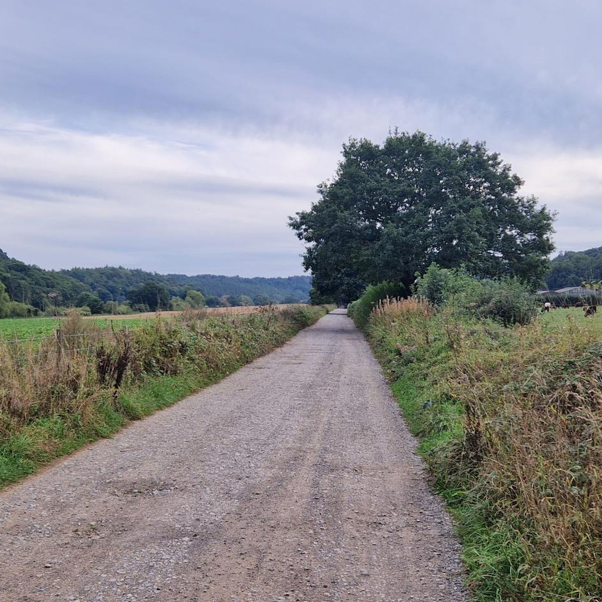
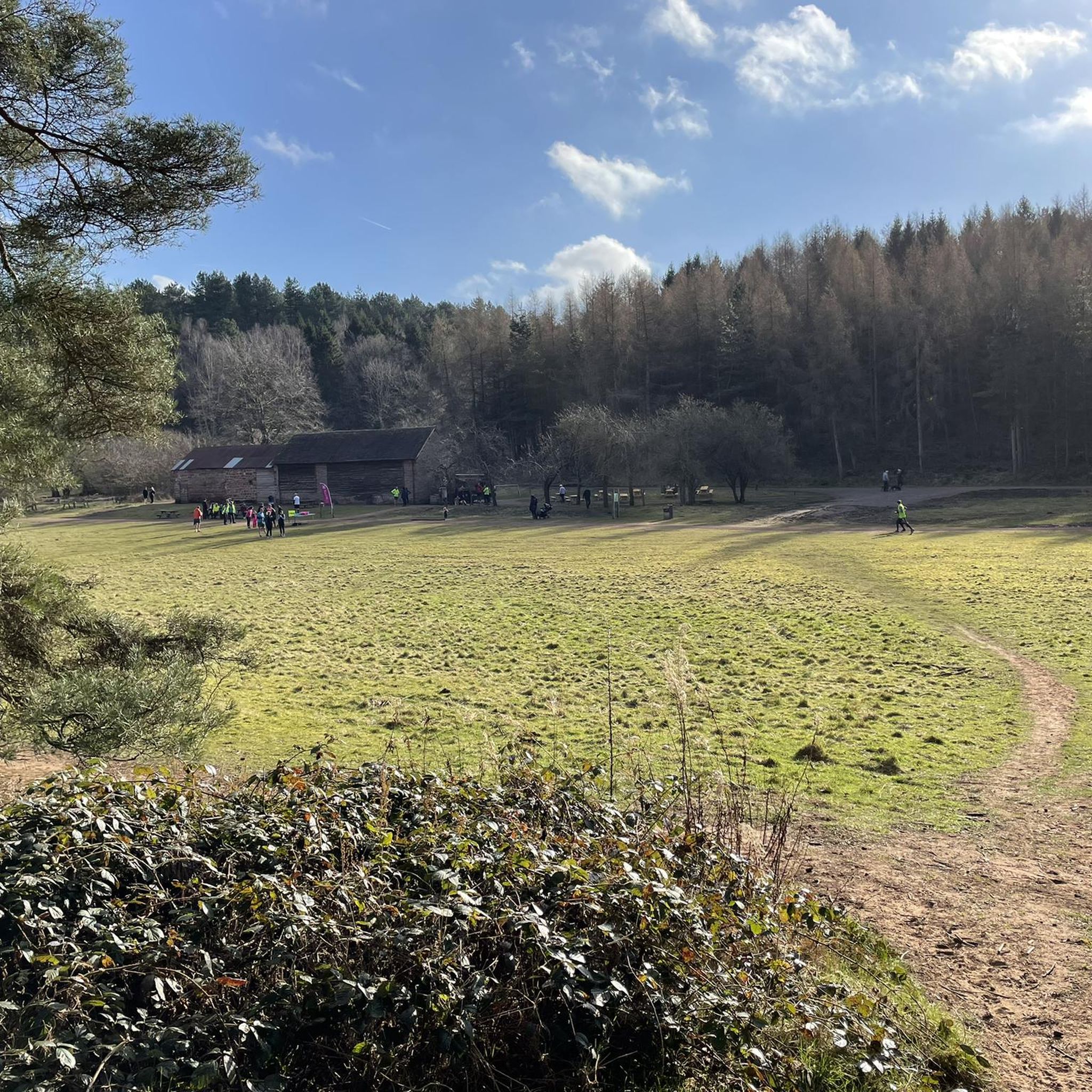
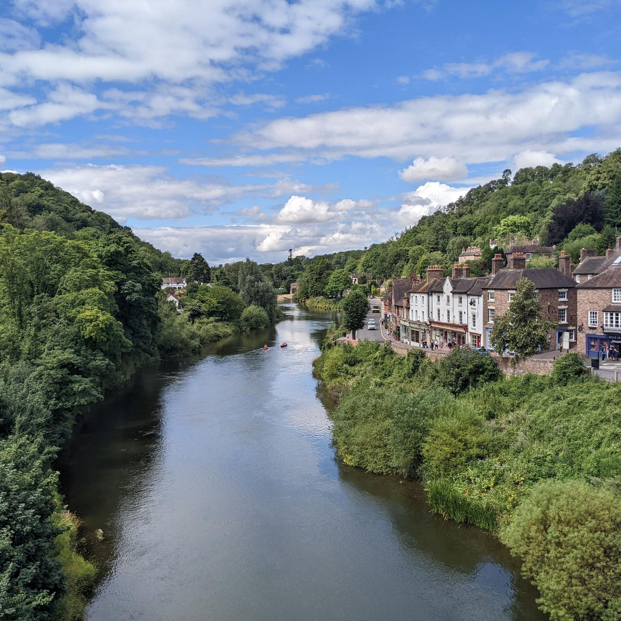
Hiking around Astley Abbotts offers diverse landscapes characterized by the meandering River Severn, verdant woodlands, and expansive open meadows. The area provides access to varied terrain, from serene riverside paths to gently sculpted hills and elevated viewpoints like High Rock. Situated within the broader Shropshire Hills, the region features a blend of forests, fields, and waterways, making it suitable for various outdoor activities.
Best hiking trails around Astley Abbotts
- The most popular hiking route is Bridgnorth Town Hall – Bridgnorth…
Last updated: June 26, 2026
5.0
(1)
22
hikers
7.16km
01:52
50m
50m
Easy hike. Great for any fitness level. Easily-accessible paths. Suitable for all skill levels.
4.6
(5)
14
hikers
7.13km
01:56
90m
90m
Easy hike. Great for any fitness level. Easily-accessible paths. Suitable for all skill levels.

Sign up for free
8
hikers
3.82km
01:02
50m
50m
Easy hike. Great for any fitness level. Easily-accessible paths. Suitable for all skill levels.
4.0
(3)
10
hikers
10.5km
02:50
140m
140m
Moderate hike. Good fitness required. Easily-accessible paths. Suitable for all skill levels.
4.0
(3)
16
hikers
13.9km
03:43
150m
150m
Moderate hike. Good fitness required. Easily-accessible paths. Suitable for all skill levels.
Get access to more routes and recommendations from other explorers.
Sign up for free
Already have an account?
Our route recommendations are based on thousands of hikes, rides, and runs completed by other people on komoot.
Start today with a free account
Your next adventure awaits.
Login or Signup
Tips from the Community

If you see the castle ruins, you also need to see Lavington's Hole, where Cromwell's troops piled gunpowder and threatened to destroy the town above - forcing it's surrender.
0
0
These picturesque ruins are well worth seeing, and the back story concerning the destruction of the castle during the Civil War is fascinating.
0
0
Lovely old bridge that marks the beginning of the end of the Geopark Way - there is just the climb to the castle to go!
0
0

BRIDGNORTH, St. Mary Magdalene. Photo taken from the bridge
0
0

Bridgnorth is beautifully perched atop a sandstone cliff with spectacular views of the Severn Valley. Being divided by the river gives off the impression of it being two towns really, a high town and a low town. It's a pretty place and has an interesting history going back to the English civil war and some more. Well worth a visit.
0
0


Bridge can get very busy so worth pushing the bike at times. Excellent views when water is up.
0
0
Frequently Asked Questions
What types of hiking trails can I expect around Astley Abbotts?
Astley Abbotts offers a diverse range of hiking trails, characterized by serene riverside paths along the River Severn, dense woodlands, and expansive open meadows. You'll find routes that traverse gently sculpted hills and provide elevated viewpoints, catering to various preferences and fitness levels.
Are there many hiking routes available in Astley Abbotts?
Yes, there are over 220 hiking routes around Astley Abbotts. This includes a wide selection of easy strolls, moderate hikes, and some more challenging trails, ensuring options for nearly every hiker.
What are the difficulty levels of the hikes in Astley Abbotts?
The trails around Astley Abbotts range from easy to difficult. You'll find over 120 easy routes perfect for a relaxed walk, around 87 moderate trails for those seeking a bit more challenge, and 13 difficult routes for experienced hikers looking for a strenuous adventure.
Are there any family-friendly walks in Astley Abbotts?
Absolutely. Many of the easy routes are suitable for families. For example, the Bridgnorth Town Hall – Bridgnorth Bridge loop from Bridgnorth is an easy 7.2 km trail that follows the River Severn and passes through the historic town, offering an enjoyable experience for all ages.
Can I find circular walks in the Astley Abbotts area?
Yes, circular walks are a prominent feature of the Astley Abbotts hiking experience. Many routes, such as the River Severn Riverside Walk – Riverside Walk loop from Bridgnorth, are designed as loops, allowing you to start and end at the same point without retracing your steps.
What interesting landmarks or attractions can I see while hiking?
While hiking around Astley Abbotts, you can encounter several notable landmarks. The historic town of Bridgnorth itself is a significant attraction. Further afield, you might explore the iconic The Iron Bridge (Ironbridge Gorge), a UNESCO World Heritage Site, or the historic Coalport Bridge. Within Bridgnorth, the Bridgnorth Bridge and the Bridgnorth Cliff Railway Top Station are also points of interest.
Are there any scenic viewpoints along the trails?
Yes, the region offers several scenic viewpoints. High Rock is a notable vantage point providing panoramic vistas of the surrounding countryside, including forests, fields, and the meandering River Severn. Some trails, like the Bridgnorth Castle Ruins – Bridgnorth Bridge loop from Bridgnorth, also offer elevated views of historic areas.
Are there any lakes or water features to explore?
The landscape around Astley Abbotts features several water bodies. The River Severn is a constant companion on many routes. You can also find a fishing lake mentioned in the Astley Abbotts - River Severn Walk description, and nearby highlights include Patshull Lake and Badger Village Ponds.
What do other hikers say about the trails in Astley Abbotts?
The hiking routes in Astley Abbotts are highly regarded by the komoot community, holding an impressive average rating of 4.6 stars from over 380 reviews. Hikers frequently praise the varied terrain, the beauty of the riverside paths, and the peaceful atmosphere of the woodlands and meadows.
Are there any longer, more challenging hikes available?
For those seeking a longer and more challenging experience, routes like the Bridgnorth Castle Ruins – Bridgnorth Bridge loop from Bridgnorth offer a moderate 13.9 km (8.6 miles) trail with a significant elevation gain, typically taking around 3 hours and 41 minutes to complete.
Where can I find parking for hiking trails in Astley Abbotts?
While specific parking details vary by trail, many routes in the area, particularly those starting near Bridgnorth, often have access to public car parks. For instance, the Astley Abbotts Long Walk and Short Walk are noted to start from Innage Lane Car Park in Bridgnorth.
What kind of natural features define the Astley Abbotts hiking experience?
The hiking experience in Astley Abbotts is defined by its rich natural features, including the meandering River Severn, dense forests providing shade and wildlife habitats, and expansive open fields. The broader Shropshire Hills region also contributes varied geology and wildlife, making for a diverse outdoor environment.
Most popular attractions around Astley Abbotts

Get inspired with the komoot mobile app


Explore more
Browse the best Hikes in other regions.
